New Plantation
Wood, Forest in Norfolk Broadland
England
New Plantation
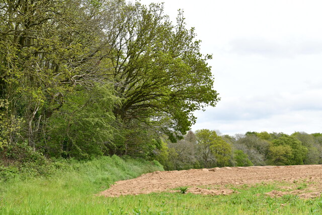
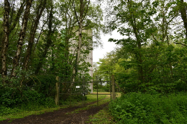
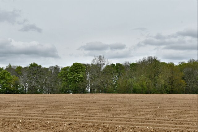
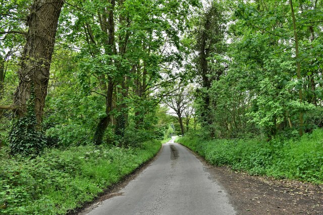
New Plantation, Norfolk, also known as Wood or Forest, is a picturesque and expansive area located in the county of Norfolk, England. Spanning over several acres, this plantation is a haven for nature enthusiasts and those seeking a tranquil escape from the hustle and bustle of city life.
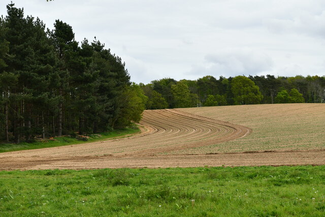
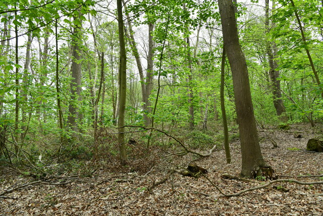
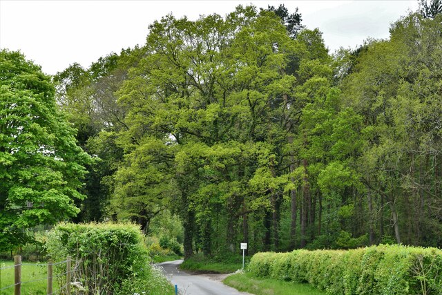
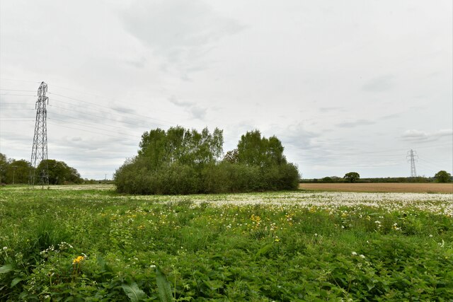
The New Plantation is characterized by its dense and lush woodland, featuring a variety of tree species including oak, beech, and birch. These towering trees provide a stunning canopy that filters sunlight and creates a serene atmosphere. The forest floor is covered in a rich carpet of moss, ferns, and wildflowers, adding to the area's natural beauty.
The plantation is home to a diverse range of wildlife, making it a popular destination for birdwatchers and nature photographers. Visitors may spot species such as woodpeckers, owls, and various songbirds among the treetops. Squirrels, rabbits, and even deer can also be seen roaming freely within the woodland.
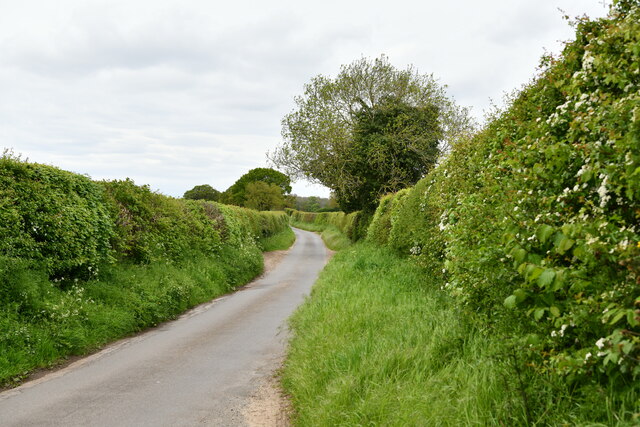
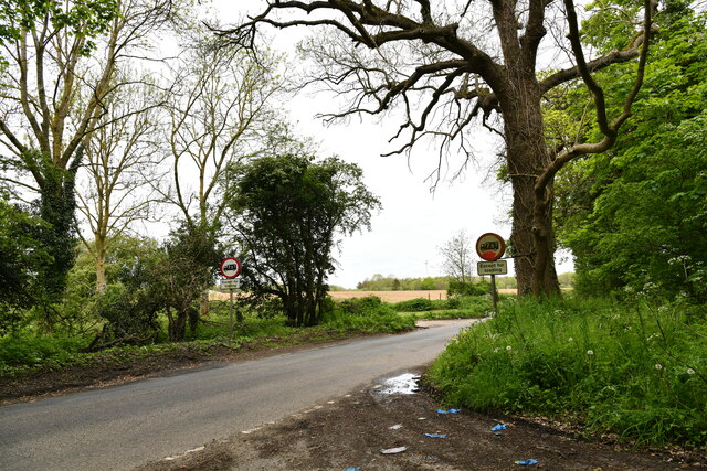
A network of well-maintained trails allows visitors to explore the plantation on foot or by bike, offering opportunities for leisurely strolls, invigorating hikes, or peaceful picnics amidst the natural surroundings. The tranquil atmosphere of New Plantation makes it an ideal spot for meditation, yoga, or simply unwinding in nature.
Located within close proximity to nearby villages and towns, New Plantation offers convenient access to amenities such as cafes, shops, and accommodations, making it an excellent destination for day trips or longer stays. Whether for a leisurely stroll, a nature photography expedition, or a chance to observe wildlife in its natural habitat, New Plantation, Norfolk, promises a truly rejuvenating and immersive experience for all who visit.
If you have any feedback on the listing, please let us know in the comments section below.
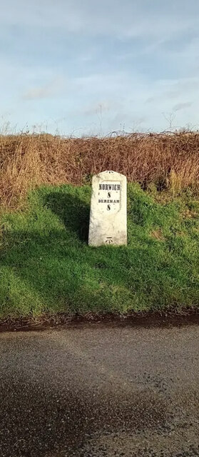
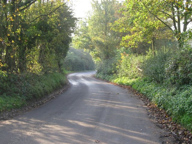
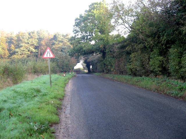
New Plantation Images
Images are sourced within 2km of 52.670784/1.124507 or Grid Reference TG1112. Thanks to Geograph Open Source API. All images are credited.


New Plantation is located at Grid Ref: TG1112 (Lat: 52.670784, Lng: 1.124507)
Administrative County: Norfolk
District: Broadland
Police Authority: Norfolk
What 3 Words
///reading.dividers.lemmings. Near Costessey, Norfolk
Nearby Locations
Related Wikis

Honingham Hall
Honingham Hall was a large country house at Honingham in Norfolk. == History == The house was commissioned by Sir Thomas Richardson, Chief Justice of the...

Honingham
Honingham is a village and civil parish in the English county of Norfolk, located 8 miles (13 km) to the west of Norwich along the A47 trunk road. It covers...

RAF Attlebridge
Royal Air Force Attlebridge, or simply RAF Attlebridge, is a former Royal Air Force station located near Attlebridge and 8 miles (13 km) northwest of Norwich...

Ringland, Norfolk
Ringland is a village and civil parish in Norfolk, England, and in the valley of the River Wensum, approximately 7 miles (11 km) north-west of Norwich...

Easton, Norfolk
Easton is a village and civil parish in the English county of Norfolk. The village is located 6.2 miles (10.0 km) north-west of Norwich and 9 miles (14...

Colton, Norfolk
Colton is a village and former civil parish, 8 miles (13 km) west of Norwich, now in the parish of Marlingford and Colton, in the South Norfolk district...

East Tuddenham
East Tuddenham is a village in the English county of Norfolk. The village is located 5.6 miles (9.0 km) south-west of Dereham and 9.5 miles (15.3 km) north...

Weston Longville
Weston Longville is a civil parish in the English county of Norfolk, approximately 8 miles (13 km) north-west of Norwich. Its name is derived from the...
Nearby Amenities
Located within 500m of 52.670784,1.124507Have you been to New Plantation?
Leave your review of New Plantation below (or comments, questions and feedback).