Ringland Covert
Wood, Forest in Norfolk Broadland
England
Ringland Covert
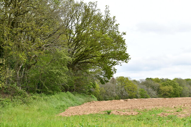
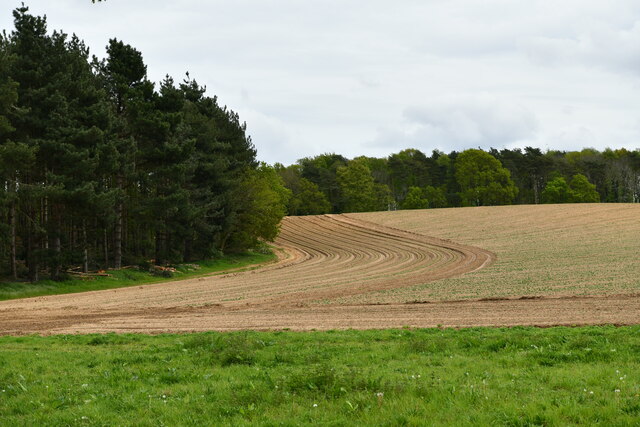
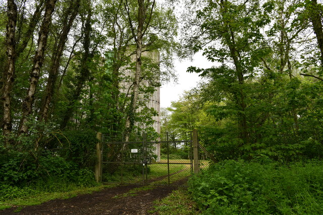
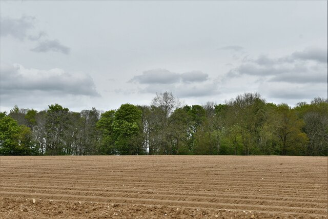
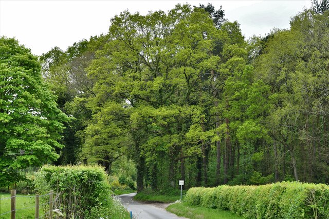
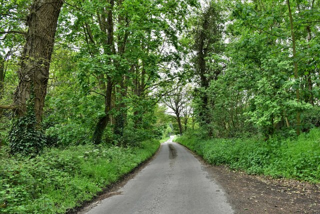
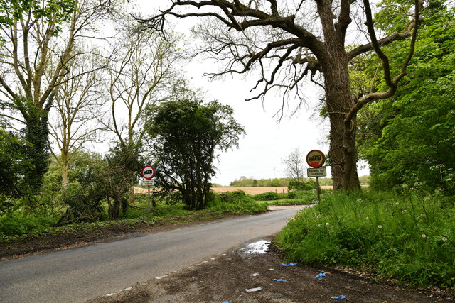
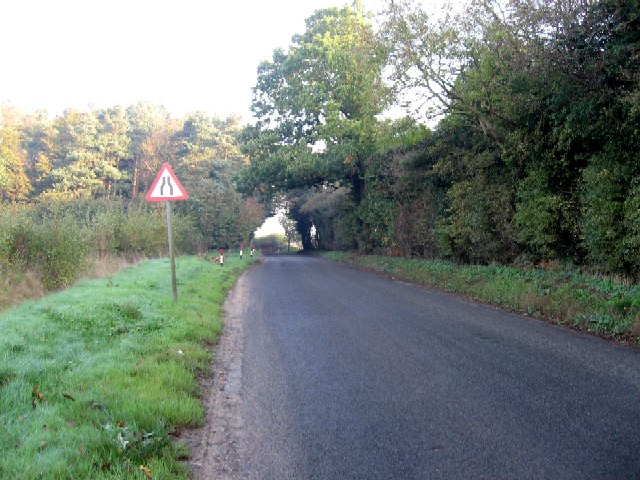
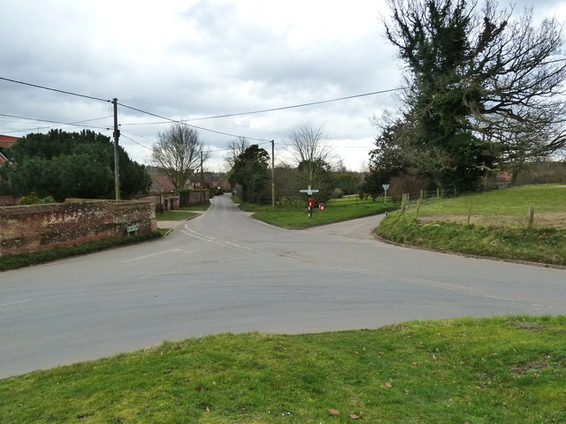
Ringland Covert is a picturesque woodland located in Norfolk, England. Situated in the village of Ringland, just 6 miles west of Norwich, this beautiful forest covers an area of approximately 70 acres.
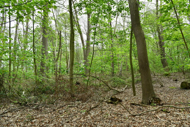
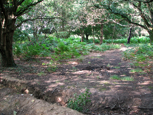
The woodland is characterized by its diverse range of tree species, including oak, beech, ash, and birch. The dense canopy created by these trees provides a cool and peaceful atmosphere, making it a popular destination for nature enthusiasts and walkers seeking a tranquil escape from the hustle and bustle of daily life.
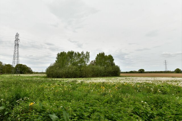
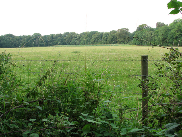
Ringland Covert is home to a variety of wildlife, making it a haven for nature lovers. The forest is teeming with various bird species, such as woodpeckers, tawny owls, and buzzards. Additionally, the woodland is inhabited by mammals such as deer, foxes, badgers, and rabbits.
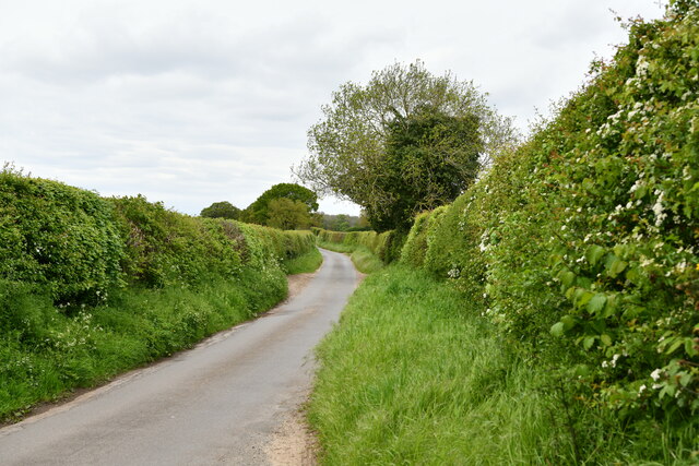
The forest boasts a network of well-maintained paths and trails, allowing visitors to explore its beauty at their own pace. There are picnic areas and benches scattered throughout the woodland, providing the perfect spots for visitors to relax and soak in the peaceful surroundings.
Ringland Covert is also known for its historical significance. It has been a part of the Ringland Estate for centuries and has witnessed various changes throughout its existence. Today, it serves as a valuable green space for the local community, offering a place for recreation, wildlife observation, and quiet contemplation.
In conclusion, Ringland Covert in Norfolk is a charming woodland that offers a serene and idyllic escape for nature enthusiasts. With its diverse tree species, abundant wildlife, well-maintained trails, and historical significance, it is a must-visit destination for anyone seeking a peaceful and immersive experience in nature.
If you have any feedback on the listing, please let us know in the comments section below.
Ringland Covert Images
Images are sourced within 2km of 52.672702/1.1312571 or Grid Reference TG1112. Thanks to Geograph Open Source API. All images are credited.


Ringland Covert is located at Grid Ref: TG1112 (Lat: 52.672702, Lng: 1.1312571)
Administrative County: Norfolk
District: Broadland
Police Authority: Norfolk
What 3 Words
///eternity.strict.tidal. Near Costessey, Norfolk
Nearby Locations
Related Wikis

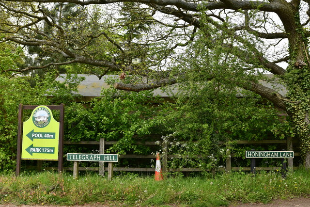
Honingham Hall
Honingham Hall was a large country house at Honingham in Norfolk. == History == The house was commissioned by Sir Thomas Richardson, Chief Justice of the...

Honingham
Honingham is a village and civil parish in the English county of Norfolk, located 8 miles (13 km) to the west of Norwich along the A47 trunk road. It covers...

Ringland, Norfolk
Ringland is a village and civil parish in Norfolk, England, and in the valley of the River Wensum, approximately 7 miles (11 km) north-west of Norwich...

RAF Attlebridge
Royal Air Force Attlebridge, or simply RAF Attlebridge, is a former Royal Air Force station located near Attlebridge and 8 miles (13 km) northwest of Norwich...

Easton, Norfolk
Easton is a village and civil parish in the English county of Norfolk. The village is located 6.2 miles (10.0 km) north-west of Norwich and 9 miles (14...

Weston Longville
Weston Longville is a civil parish in the English county of Norfolk, approximately 8 miles (13 km) north-west of Norwich. Its name is derived from the...

Colton, Norfolk
Colton is a village and former civil parish, 8 miles (13 km) west of Norwich, now in the parish of Marlingford and Colton, in the South Norfolk district...

Taverham Hall School
Taverham Hall School was a private co-educational day and boarding preparatory school. Situated in Taverham, Norfolk, it was founded in 1920. The school...
Nearby Amenities
Located within 500m of 52.672702,1.1312571Have you been to Ringland Covert?
Leave your review of Ringland Covert below (or comments, questions and feedback).