Garden Covert
Wood, Forest in Norfolk Broadland
England
Garden Covert
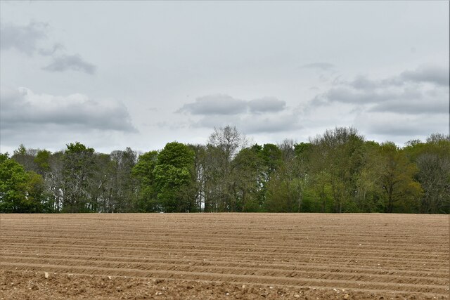
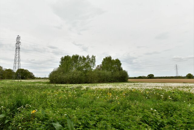
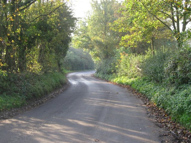
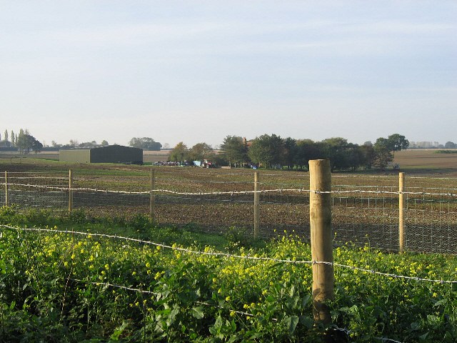
Garden Covert is a picturesque woodland located in Norfolk, England. Situated near the village of Wood, this forested area spans approximately 50 acres and is known for its natural beauty and tranquil atmosphere. The woodland is a haven for wildlife and boasts a diverse range of flora and fauna.
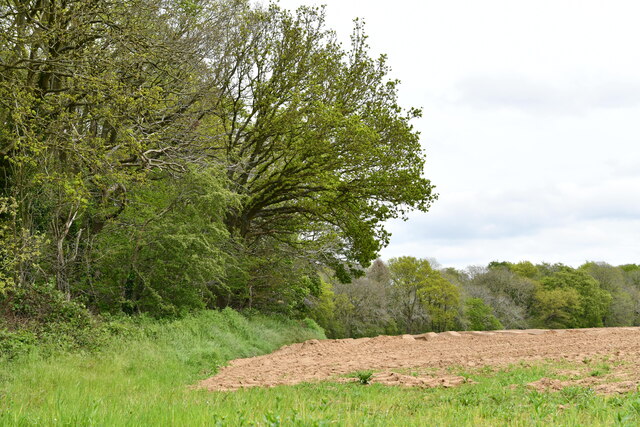
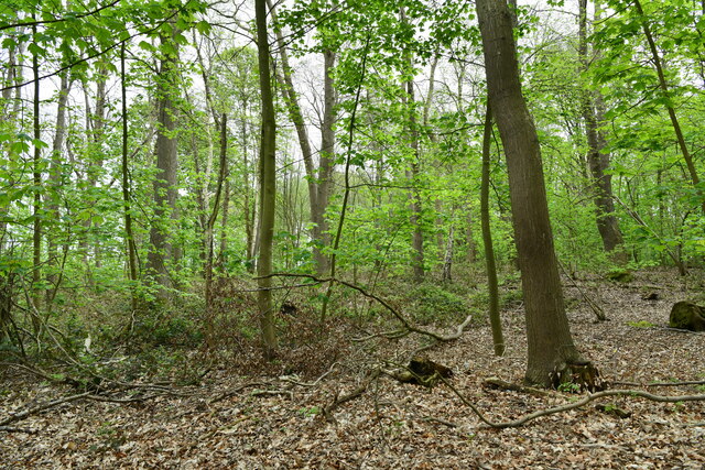
The forest is primarily composed of native tree species such as oak, beech, and ash, which provide a dense canopy that filters sunlight, creating a cool and shaded environment. The forest floor is covered in a thick layer of leaf litter, creating a rich habitat for a variety of woodland creatures.
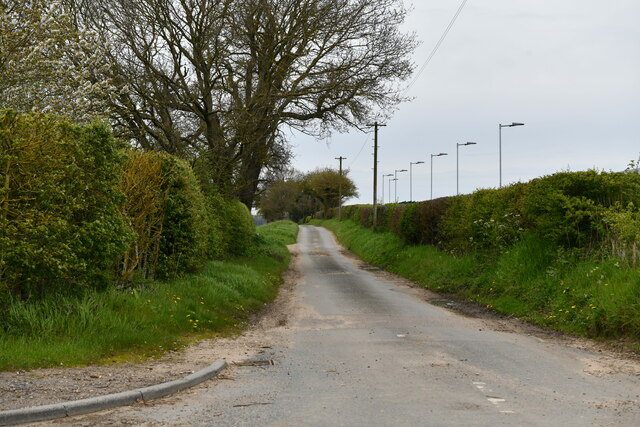
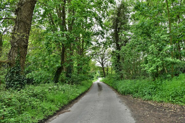
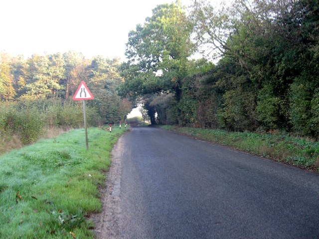
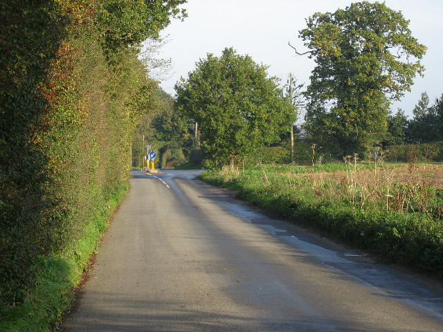
Within Garden Covert, there are several walking trails that wind through the forest, allowing visitors to explore the area and immerse themselves in nature. These trails vary in length and difficulty, catering to both casual strollers and more experienced hikers. Along the way, visitors can discover hidden streams, ancient trees, and vibrant wildflowers.
The forest is also home to a multitude of wildlife, including deer, rabbits, and a variety of bird species. Birdwatchers will delight in spotting species such as woodpeckers, owls, and thrushes. Nature enthusiasts can take advantage of the peaceful surroundings to observe and photograph the many fascinating creatures that call Garden Covert their home.
Overall, Garden Covert in Norfolk is a captivating woodland that offers a serene escape from the hustle and bustle of everyday life. Its scenic beauty, diverse flora and fauna, and well-maintained trails make it a popular destination for nature lovers and outdoor enthusiasts alike.
If you have any feedback on the listing, please let us know in the comments section below.
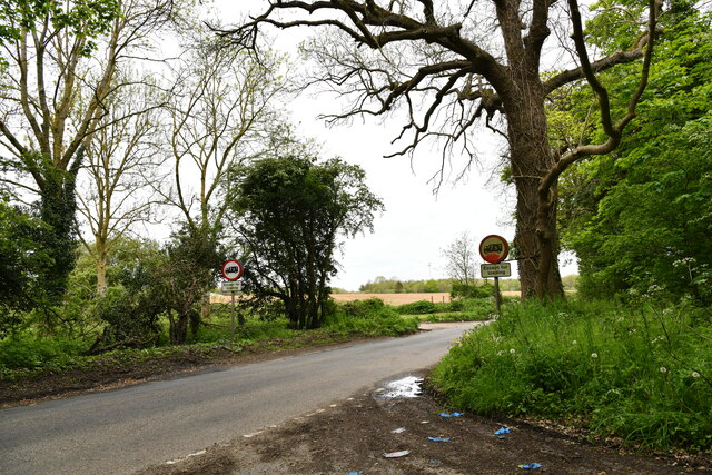
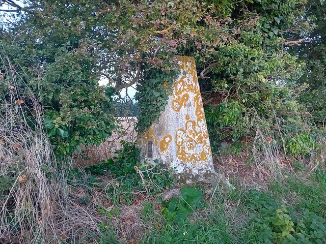
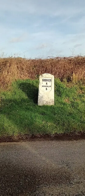
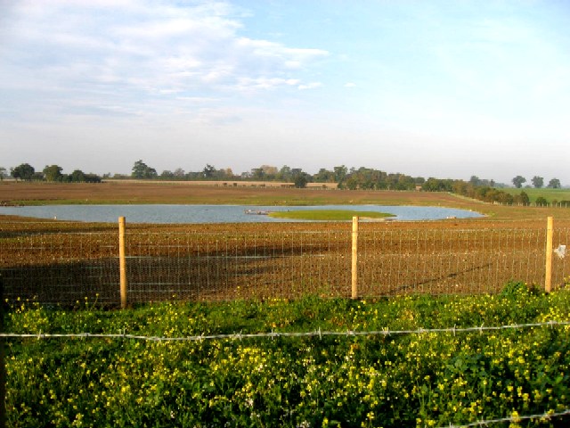
Garden Covert Images
Images are sourced within 2km of 52.665709/1.1191893 or Grid Reference TG1112. Thanks to Geograph Open Source API. All images are credited.


Garden Covert is located at Grid Ref: TG1112 (Lat: 52.665709, Lng: 1.1191893)
Administrative County: Norfolk
District: Broadland
Police Authority: Norfolk
What 3 Words
///concerned.paused.embers. Near Mattishall, Norfolk
Nearby Locations
Related Wikis

Honingham Hall
Honingham Hall was a large country house at Honingham in Norfolk. == History == The house was commissioned by Sir Thomas Richardson, Chief Justice of the...

Honingham
Honingham is a village and civil parish in the English county of Norfolk, located 8 miles (13 km) to the west of Norwich along the A47 trunk road. It covers...

Colton, Norfolk
Colton is a village and former civil parish, 8 miles (13 km) west of Norwich, now in the parish of Marlingford and Colton, in the South Norfolk district...

East Tuddenham
East Tuddenham is a village in the English county of Norfolk. The village is located 5.6 miles (9.0 km) south-west of Dereham and 9.5 miles (15.3 km) north...
Nearby Amenities
Located within 500m of 52.665709,1.1191893Have you been to Garden Covert?
Leave your review of Garden Covert below (or comments, questions and feedback).