Heydon

Civil Parish in Norfolk Broadland

England

Heydon

Spink's Lane Spink's Lane public right of way
Spink's Lane Credit: P Gaskell

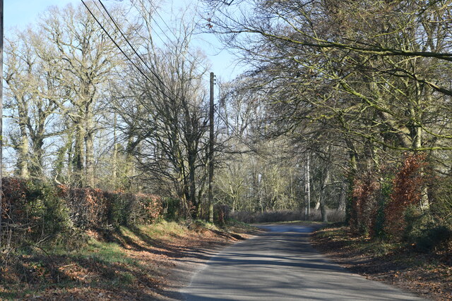
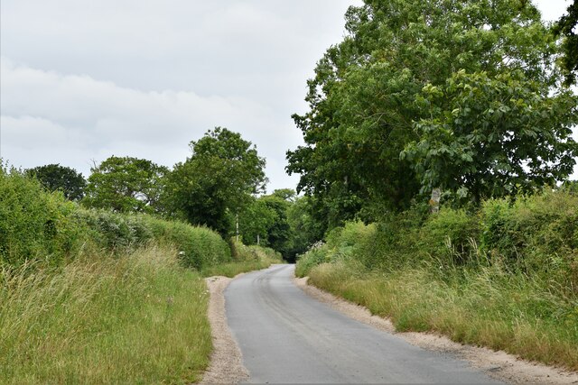
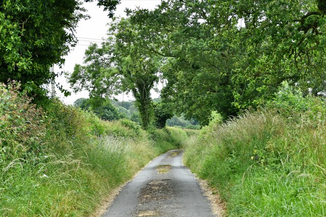
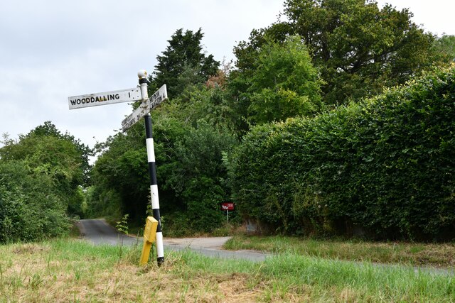
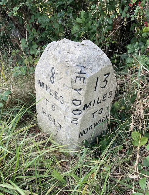
Heydon is a civil parish located in the English county of Norfolk. Situated approximately 15 miles northwest of Norwich, the village is nestled within the picturesque countryside of the district of Broadland. Heydon is surrounded by several other small villages, including Cawston, Oulton, and Corpusty.

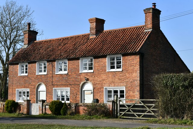
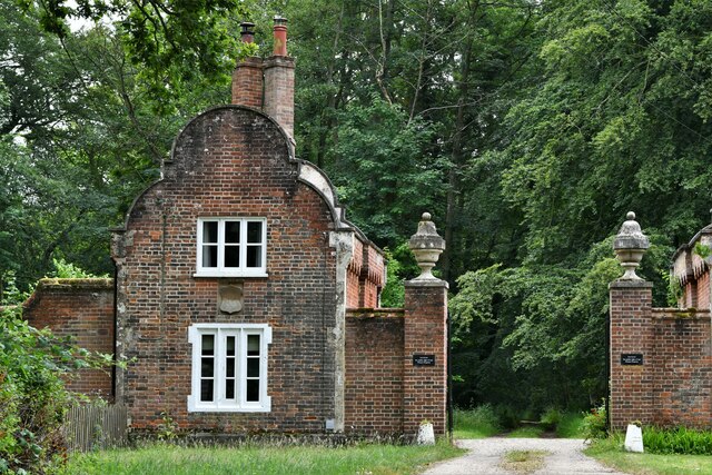
The village itself is known for its charming and well-preserved traditional architecture, which predominantly consists of brick and flint buildings. Heydon Hall, a Grade I listed building, is a notable landmark in the area. Built in the 1580s, the hall features a stunning Jacobean façade and is set amidst beautifully landscaped gardens.

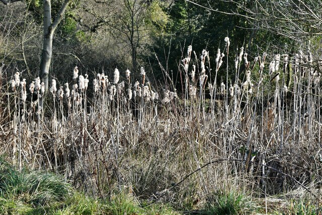
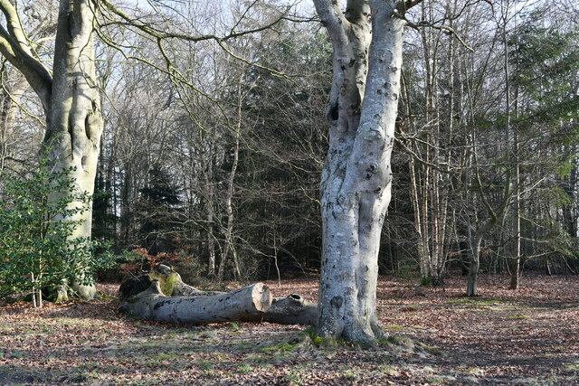
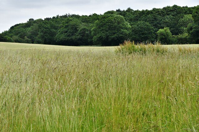
Heydon also boasts a village green, which is a designated conservation area. The green is adorned with a variety of trees and is a popular spot for locals and visitors alike to relax and enjoy the peaceful atmosphere. The village green also hosts various events throughout the year, including a traditional May Day celebration.

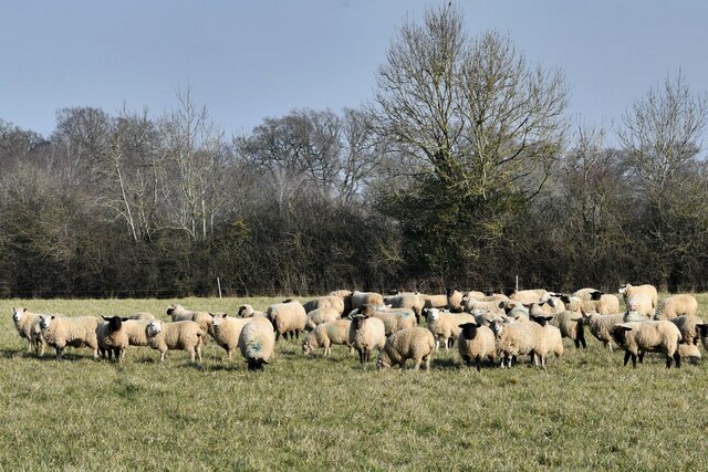
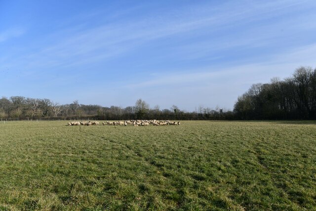
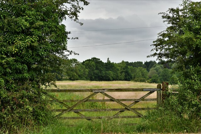
The local economy in Heydon is mainly centered around agriculture, with many residents involved in farming and related industries. The village does not have its own school or shops, but amenities can be found in nearby towns. Heydon does, however, have a village pub, The Earle Arms, which offers a warm welcome to visitors and locals alike.

Overall, Heydon is a quintessential English village, offering a tranquil and idyllic setting for those seeking a peaceful retreat in the Norfolk countryside. Its picturesque architecture, lush green spaces, and sense of community make it a charming place to visit or call home.

If you have any feedback on the listing, please let us know in the comments section below.
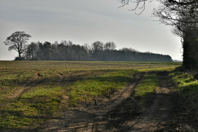
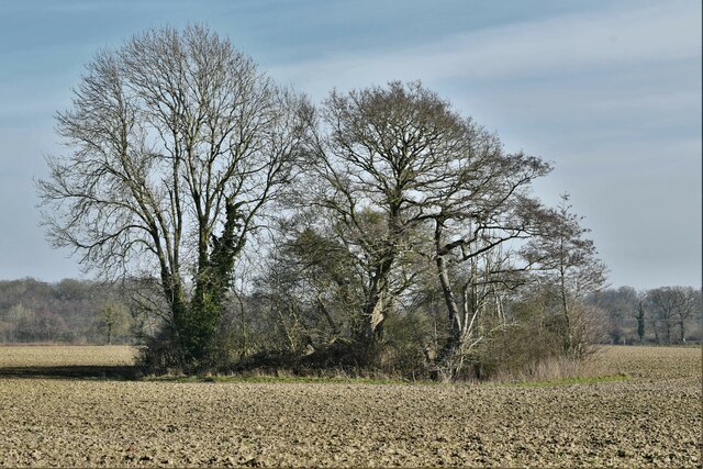
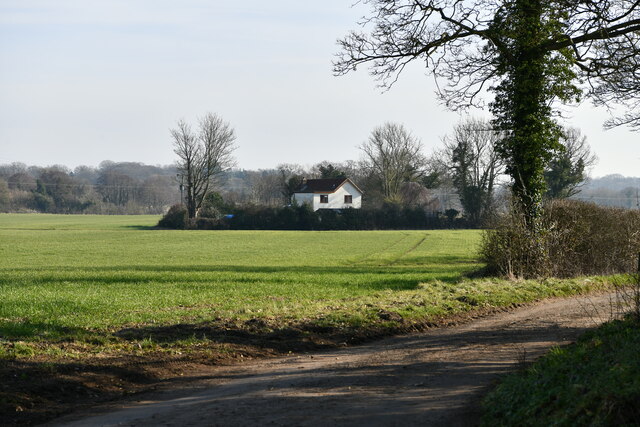
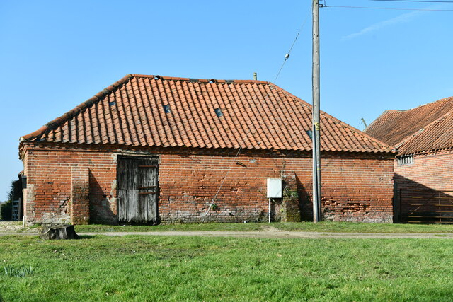
Heydon Images

Images are sourced within 2km of 52.804494/1.139445 or Grid Reference TG1127. Thanks to Geograph Open Source API. All images are credited.

Spink's Lane Spink's Lane public right of way
Spink's Lane
Spink's Lane public right of way
Wood Dalling: Track leading to a small area of woodland
Wood Dalling: Small clump of trees within a large ploughed field
Wood Dalling: 'Grove End' in Heydon Lane
Heydon: Home Farm
Heydon: Home Farm
Heydon: Reeds verging a pond
Heydon: Old Common
Heydon: Old Common
Heydon: Corpusty Road
Heydon: Holly Grove Farmhouse
Heydon: Sheep in a large field
Heydon: Watery Lane
Heydon: Watery Lane
Wood Dalling: Heydon Lane
Wood Dalling: Oak Grove
Heydon: Corpusty Lodges
Heydon Road
Heydon Road
Heydon Road: Gated field
Old Milestone by the B1149, south west of Oulton Carved stone post by the B1149, in parish of Heydon (Broadland District), about 250yds South of lodge to Heydon Hall, on the verge backed by field, on West side of road. Holt diamond, erected by an unknown authority in the 18th century. 

Inscription reads:-
: 8 / MILES / TO / HOLT : : HEYDON : : 13 / MILES / TO / NORWICH : 
Carved benchmark on top noted in 1984, but removed by damage.

Norfolk HER listed.
NHER Number: 56454 <span class="nowrap"><a title="https://www.heritagegateway.org.uk/Gateway/Results_Single.aspx?uid=MNF62864&resourceID=1002" rel="nofollow ugc noopener" href="https://www.heritagegateway.org.uk/Gateway/Results_Single.aspx?uid=MNF62864&resourceID=1002">Link</a><img style="margin-left:2px;" alt="External link" title="External link - shift click to open in new window" src="https://s1.geograph.org.uk/img/external.png" width="10" height="10"/></span>

Milestone Society National ID: NO_NH13
Old Milestone by the B1149, south west of Oulton
Carved stone post by the B1149, in parish of Heydon (Broadland District), about 250yds South of lodge to Heydon Hall, on the verge backed by field, on West side of road. Holt diamond, erected by an unknown authority in the 18th century. Inscription reads:- : 8 / MILES / TO / HOLT : : HEYDON : : 13 / MILES / TO / NORWICH : Carved benchmark on top noted in 1984, but removed by damage. Norfolk HER listed. NHER Number: 56454 LinkExternal link Milestone Society National ID: NO_NH13
Show me another place!

Heydon is located at Grid Ref: TG1127 (Lat: 52.804494, Lng: 1.139445)

Administrative County: Norfolk

District: Broadland

Police Authority: Norfolk

What 3 Words

///consoles.describes.guides. Near Cawston, Norfolk

Related Wikis

Heydon, Norfolk

Heydon is a village and civil parish in Norfolk, England. It is located 3 miles (4.8 km) north of the market town of Reepham. The village can be accessed...

Oulton, Norfolk

Oulton is a village and civil parish in Norfolk, England. Nearby towns are Reepham and Aylsham. The parish covers an area of 10.58 km2 (4.08 sq mi) and...

Corpusty and Saxthorpe railway station

Corpusty and Saxthorpe railway station was a railway station in the North Norfolk village of Corpusty. It was opened by the Eastern & Midlands Railway...

Bluestone railway station

Bluestone railway station was a station in Norfolk, England. It was on the Midland and Great Northern Joint Railway between Corpusty and Aylsham North...

Saxthorpe

Saxthorpe is a village in Norfolk, England. The village is 12 miles (19 km) west south west of Cromer and 16.3 miles (26.2 km) north north west of Norwich...

Salle, Norfolk

Salle ( SAWL) is a small village and civil parish in the Broadland district, in the county of Norfolk, England. 1.5 miles (2.4 km) to the south is the...

Wood Dalling

Wood Dalling is a village and civil parish in Norfolk, England. It is located 8 miles (13 km) south of Holt and 3 miles (4.8 km) north of Reepham, the...

RAF Oulton

Royal Air Force Oulton or more simply RAF Oulton is a former Royal Air Force satellite station located 3 miles (4.8 km) west of Aylsham, Norfolk and 12...

Nearby Amenities

Located within 500m of 52.804494,1.139445
Heydon
Ele: 45
Place: village
Population: 89
Source: npe
Wikidata: Q2507853
Wikipedia: en:Heydon, Norfolk
Lat/Long: 52.8021114/1.1335811
Barrier: cattle_grid
Lat/Long: 52.8032335/1.1348852
Jubilee Memorial
Alt Name: Well House
Historic: memorial
Inscription: Erected by Colonel W. E. G. Lytton Bulwer to commemorate the Jubilee year of the reign of Her Gracious Majesty Queen Victoria 21 June 1887
Listed Status: Grade II
Man Made: water_well
Material: brick
Memorial: yes
Start Date: 1887
Wikidata: Q26675026
Lat/Long: 52.8022507/1.1338296
Turning Circle
Lat/Long: 52.805105/1.1383865
Entrance: main
Lat/Long: 52.8025019/1.1336877
Entrance: main
Lat/Long: 52.8021439/1.1334567
Post Box
Collection Times: Mo-Fr 17:00; Sa 19:45
Operator: Royal Mail
Post Box Mounting: pier
Post Box Type: lamp
Royal Cypher: EIIR
Royal Cypher Wikidata: Q33102113
Lat/Long: 52.8021498/1.1334834
Bench
Backrest: yes
Material: wood
Lat/Long: 52.8024359/1.134262
Bench
Backrest: yes
Material: wood
Lat/Long: 52.8025157/1.1339983
Entrance: yes
Lat/Long: 52.8026961/1.1348254
Entrance: yes
Lat/Long: 52.8028944/1.1345217
Entrance: yes
Lat/Long: 52.8026834/1.1344276
Entrance: main
Lat/Long: 52.8028106/1.1343018
Avocet Antiques
Addr City: Heydon
Addr Housenumber: 5
Addr Postcode: NR11 6RQ
Addr Street: Church Farm Barns
Shop: antiques
Start Date: 2019
Lat/Long: 52.8025679/1.1332789
Cafe
Tea Shop
Addr City: Heydon
Addr Postcode: NR11 6AD
Addr Street: The Street
Alt Name: Tea Rooms
Cuisine: english
Outdoor Seating: yes
Lat/Long: 52.80216/1.133417
The Wallflower and Wallace
Addr City: Heydon
Addr Housenumber: 2-3
Addr Postcode: NR11 6RQ
Addr Street: Church Farm Barns
Shop: florist
Lat/Long: 52.8023846/1.1333384
Moochi Modo
Addr City: Heydon
Addr Housenumber: 1
Addr Postcode: NR11 6RQ
Addr Street: Church Farm Barns
Shop: interior_decoration
Lat/Long: 52.8023546/1.1334859
Recycling
Recycling Glass: yes
Recycling Paper: yes
Recycling Type: container
Lat/Long: 52.80271/1.1328794
Beauty Barn
Addr City: Heydon
Addr Housenumber: 6
Addr Postcode: NR11 6RQ
Addr Street: Church Farm Barns
Beauty: skin_care
Shop: beauty
Start Date: 2019
Lat/Long: 52.8025983/1.133147
Turning Circle
Lat/Long: 52.8032474/1.1342987
Compton & Clarke
Addr City: Heydon
Addr Housenumber: 4
Addr Postcode: NR11 6RQ
Addr Street: Church Farm Barns
Shop: jewelry
Lat/Long: 52.8025095/1.1333381
Unit 7 Hair Salon
Addr City: Heydon
Addr Housenumber: 7
Addr Postcode: NR11 6RQ
Addr Street: Church Farm Barns
Shop: hairdresser
Start Date: 2020
Lat/Long: 52.8025925/1.1330363
Barrier: bollard
Bicycle: dismount
Foot: permissive
Horse: private
Material: wood
Motor Vehicle: private
Lat/Long: 52.8020619/1.1339127
Waste Basket
Lat/Long: 52.8024174/1.1343425
Addr City: Heydon
Addr Housename: Church Farm House
Addr Postcode: NR11 6AD
Addr Street: The Street
Lat/Long: 52.8022298/1.1334431
Addr City: Heydon
Addr Housenumber: 6
Addr Postcode: NR11 6RQ
Addr Street: The Street
Lat/Long: 52.8020765/1.1333666
Addr Housenumber: 1
Lat/Long: 52.8023019/1.134667
Addr Housenumber: 2
Lat/Long: 52.8022501/1.134843
Access: private
Booth: K6
Colour: red
Covered: booth
Disused Amenity: telephone
Historic: yes
Listed Status: Grade II
Man Made: telephone_box
Material: metal
Lat/Long: 52.8028838/1.1339129
Bench
Backrest: yes
Bench: yes
Material: wood
Lat/Long: 52.8019797/1.1346495
Waste Basket
Lat/Long: 52.8025566/1.1339151
Defibrillator
Emergency: defibrillator
Ref GB The Circuit: 37D579F2-9A91-403F-A6F9-B12000A881E7
Lat/Long: 52.8023177/1.1335688
Board Type: notice
Information: board
Tourism: information
Lat/Long: 52.8023326/1.1335787
Stable Cottage
Addr City: Heydon
Guest House: bed_and_breakfast
Tourism: guest_house
Lat/Long: 52.8045414/1.1398288
Bench
Backrest: yes
Material: wood
Lat/Long: 52.8024757/1.1341324
Mary Read
Artwork Type: statue
Material: wood
Subject Wikidata: Q234421
Tourism: artwork
Lat/Long: 52.8025232/1.1336999
Addr City: Heydon
Addr Housename: Dower House Annex
Addr Postcode: NR11 6AD
Addr Street: The Green
Lat/Long: 52.8019081/1.1336052
Barrier: cattle_grid
Lat/Long: 52.8043156/1.1424811
Barrier: bollard
Bicycle: private
Bollard: rising
Foot: permissive
Horse: private
Material: metal
Motor Vehicle: private
Lat/Long: 52.804314/1.1424259
Barrier: cattle_grid
Lat/Long: 52.8033475/1.1343715
Barrier: bollard
Bicycle: dismount
Foot: yes
Horse: yes
Motor Vehicle: permit
Lat/Long: 52.8023807/1.1336387
The data included in this document is from www.openstreetmap.org. The data is made available under ODbL.

Have you been to Heydon?

Leave your review of Heydon below (or comments, questions and feedback).