Cox Hill Wood
Wood, Forest in Kent Canterbury
England
Cox Hill Wood

Cox Hill Wood is a picturesque woodland area located in the county of Kent, England. Situated near the village of Coxheath, it covers an area of approximately 100 acres and is known for its natural beauty and diverse wildlife.
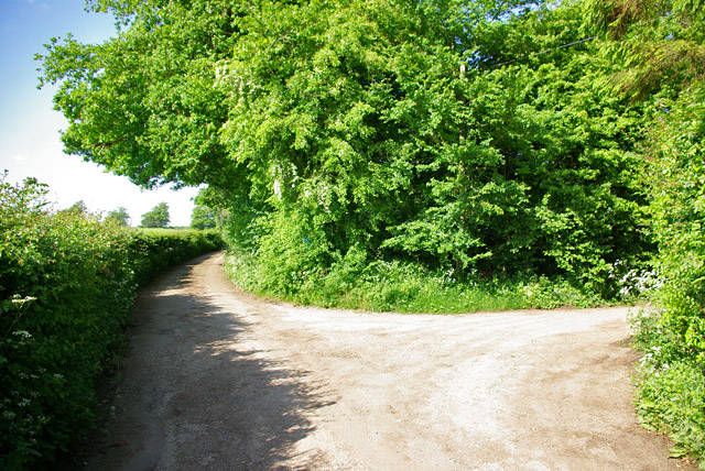
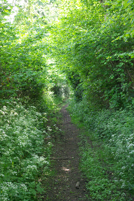
The wood is primarily composed of mixed deciduous trees, including oak, beech, ash, and birch. This blend of tree species creates a vibrant and colorful landscape, especially during the autumn months when the leaves change to stunning shades of red, orange, and gold.
Cox Hill Wood is a popular destination for nature enthusiasts, hikers, and birdwatchers. The diverse habitat provided by the woodland attracts a wide range of bird species, such as woodpeckers, nuthatches, and tawny owls. Additionally, the wood is home to various mammals, including foxes, squirrels, and badgers.
The woodland is crisscrossed by a network of walking trails, allowing visitors to explore its natural wonders at their own pace. These well-maintained paths lead through sun-dappled glades, alongside babbling brooks, and up gentle slopes, offering stunning views of the surrounding countryside.
Cox Hill Wood provides a peaceful and tranquil escape from the bustle of everyday life. Its secluded location and serene atmosphere make it an ideal place for picnics, family outings, or simply immersing oneself in nature.
The wood is managed by a local conservation organization, ensuring its preservation and protection for future generations to enjoy. Cox Hill Wood is a true gem of Kent, offering a haven of tranquility and natural beauty to all who visit.
If you have any feedback on the listing, please let us know in the comments section below.
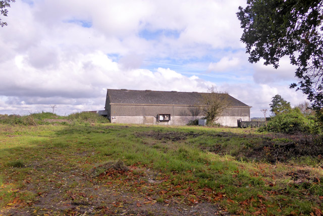
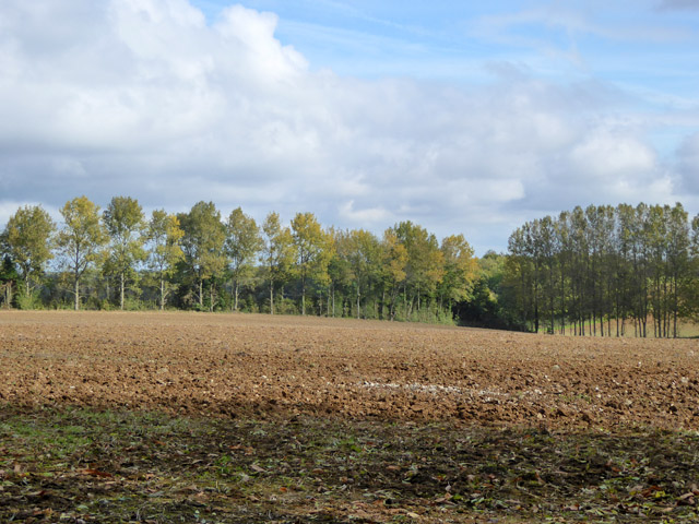
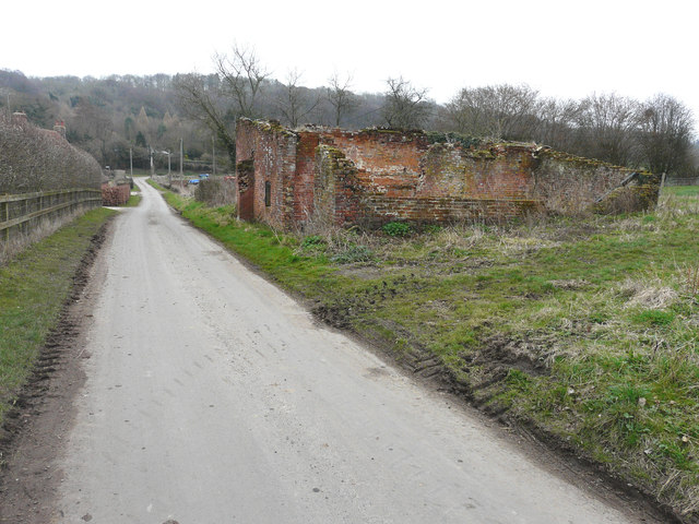
Cox Hill Wood Images
Images are sourced within 2km of 51.187535/1.0244426 or Grid Reference TR1147. Thanks to Geograph Open Source API. All images are credited.


Cox Hill Wood is located at Grid Ref: TR1147 (Lat: 51.187535, Lng: 1.0244426)
Administrative County: Kent
District: Canterbury
Police Authority: Kent
What 3 Words
///gifted.pouting.airliners. Near Wye, Kent
Nearby Locations
Related Wikis

Yockletts Bank
Yockletts Bank is a 25.4-hectare (63-acre) biological Site of Special Scientific Interest west of Stelling Minnis in Kent. It is managed by KWT and is...

Waltham, Kent
Waltham is a village and civil parish 7 miles (11 km) southwest of Canterbury in Kent, England. == History == The village was once associated with the...

Park Gate Down
Park Gate Down or Parkgate Down is a 7-hectare (17-acre) biological Site of Special Scientific Interest south-east of Stelling Minnis in Kent. It is also...

Spong Wood
Spong Wood is a 18-hectare (44-acre) nature reserve west of Stelling Minnis in Kent. It is managed by Kent Wildlife Trust.Common trees in this coppiced...

Shrub's Wood Long Barrow
Shrub's Wood Long Barrow is an unchambered long barrow located near to the village of Elmsted in the south-eastern English county of Kent. It was probably...

Anvil Green
Anvil Green is a small settlement located near Waltham in Kent, England, about nine miles (14.4 km) north east of Ashford. == External links == Media...

Elmsted
Elmsted is a village and civil parish in the Folkestone and Hythe District of Kent, England. It is located west of Stone Street (the B2068), the Roman...

Stelling Minnis
Stelling Minnis is a village and civil parish in the Folkestone and Hythe district in Kent, England. The village lies 13 kilometres (8 mi) to the south...
Nearby Amenities
Located within 500m of 51.187535,1.0244426Have you been to Cox Hill Wood?
Leave your review of Cox Hill Wood below (or comments, questions and feedback).