Hempstead Wood
Wood, Forest in Norfolk North Norfolk
England
Hempstead Wood

Hempstead Wood is a picturesque and serene forest located in Norfolk, England. Spread over an expansive area of lush greenery, this woodland is known for its scenic beauty and diverse flora and fauna. It is nestled within the Norfolk countryside, offering visitors a tranquil escape from the hustle and bustle of city life.
The forest is predominantly composed of a mix of deciduous and coniferous trees, including oak, beech, pine, and birch. These trees create a dense canopy that provides shade and shelter for the numerous wildlife species that call Hempstead Wood their home. Visitors can expect to spot an array of woodland creatures, such as deer, foxes, rabbits, and a wide variety of bird species.
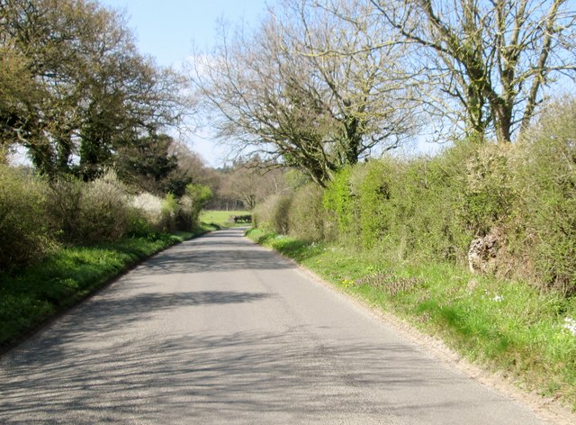
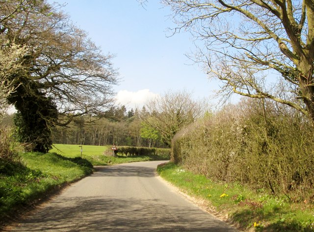
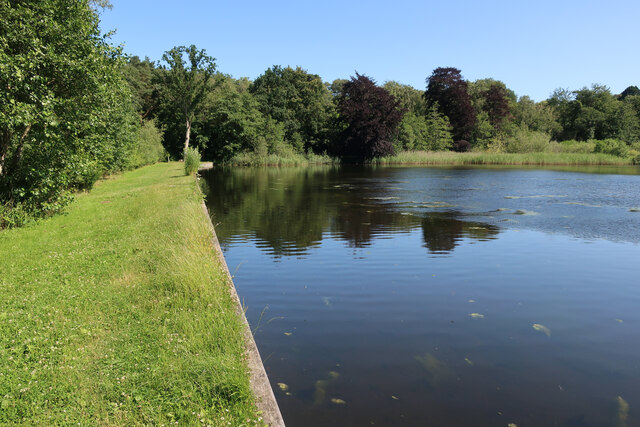
The forest is crisscrossed by several well-maintained walking trails, allowing visitors to explore the wood at their leisure. These paths wind through the enchanting woodland, offering breathtaking views of the surrounding landscapes and a chance to immerse oneself in nature. The forest also boasts a small lake, adding to its charm and providing a habitat for various aquatic plants and animals.
Hempstead Wood is a popular destination for nature lovers, hikers, and birdwatchers. The forest offers ample opportunities for outdoor activities such as picnicking, photography, and nature walks. Whether seeking solitude or a family day out, visitors to Hempstead Wood are sure to be captivated by its natural beauty and the tranquility it offers.
If you have any feedback on the listing, please let us know in the comments section below.
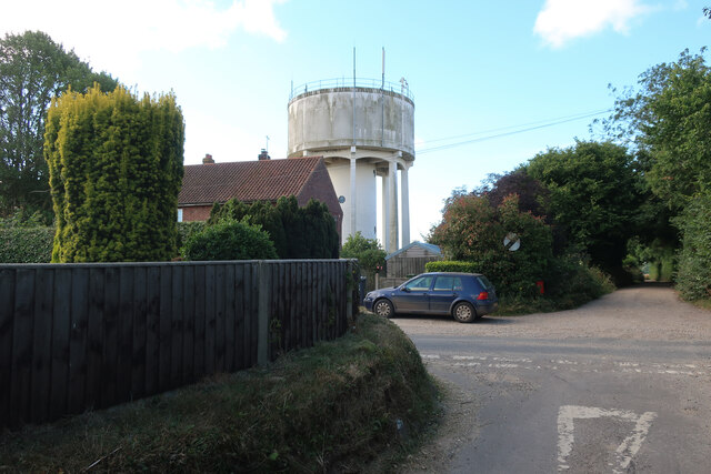
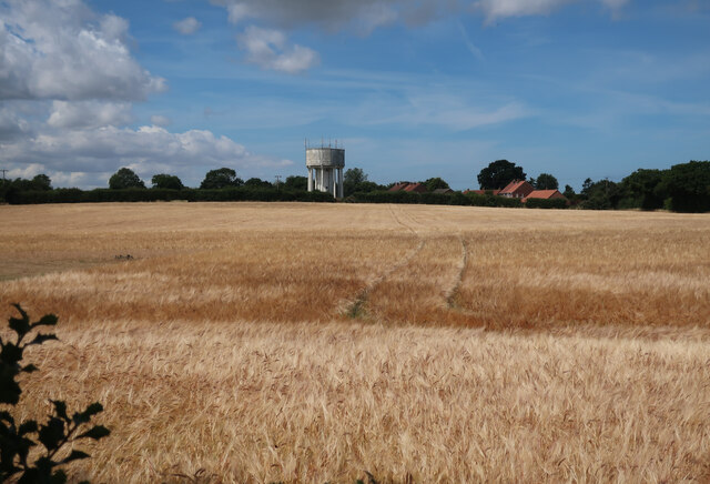
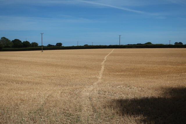
Hempstead Wood Images
Images are sourced within 2km of 52.901435/1.1423818 or Grid Reference TG1138. Thanks to Geograph Open Source API. All images are credited.


Hempstead Wood is located at Grid Ref: TG1138 (Lat: 52.901435, Lng: 1.1423818)
Administrative County: Norfolk
District: North Norfolk
Police Authority: Norfolk
What 3 Words
///soggy.grumble.dent. Near Sheringham, Norfolk
Nearby Locations
Related Wikis
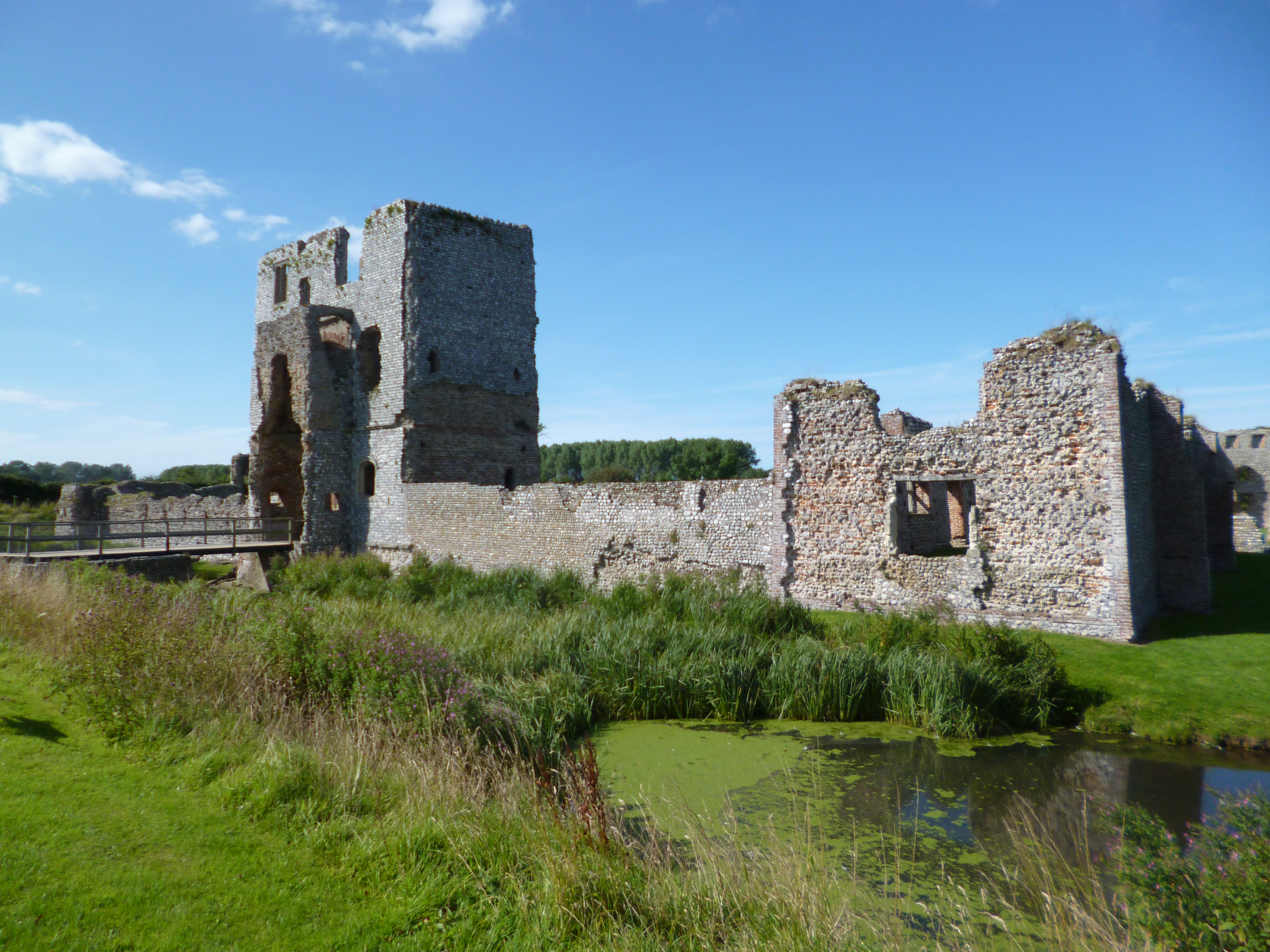
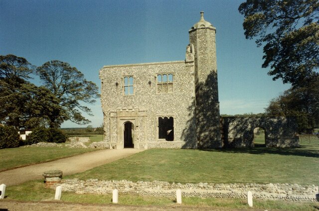
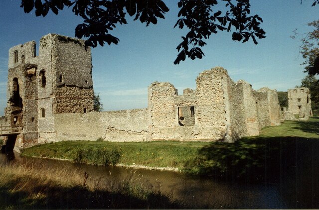
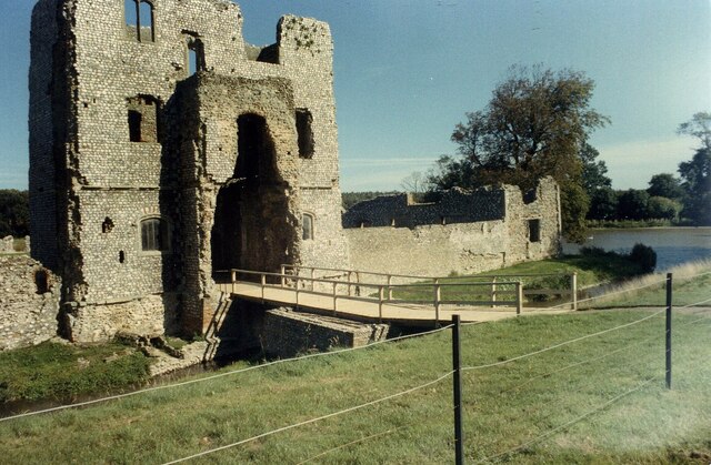
Baconsthorpe Castle
Baconsthorpe Castle, historically known as Baconsthorpe Hall, is a ruined, fortified manor house near the village of Baconsthorpe, Norfolk, England. It...
Baconsthorpe
Baconsthorpe is a village and civil parish in the North Norfolk district of the English county of Norfolk. It is 4 miles (6.4 km) south-east of Holt, 5...

Hempstead, near Holt, Norfolk
There is also a village called Hempstead near Stalham, also in North Norfolk.Hempstead is a village and civil parish in the north of the English county...

High Kelling
High Kelling is a village and civil parish in the north of the English county of Norfolk. The village is located on the A148 road which links Cromer to...
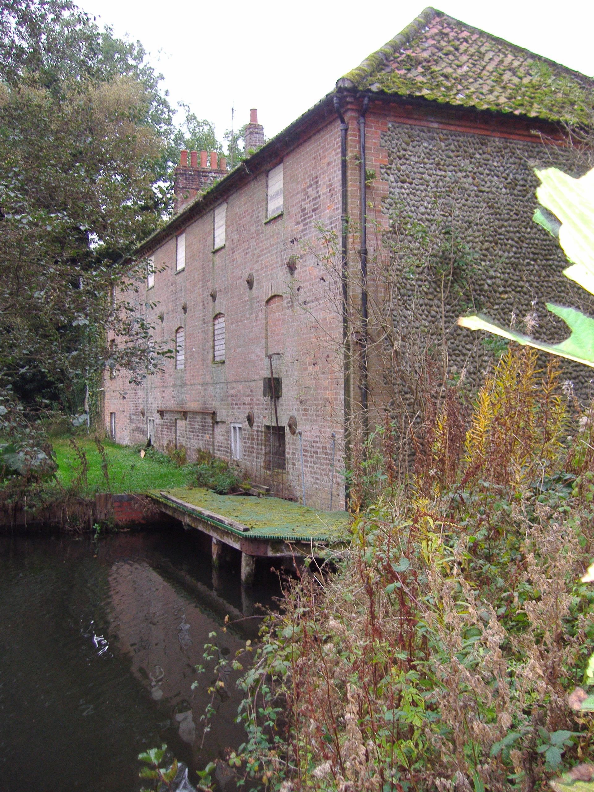
Hempstead Watermill
Hempstead Watermill is a disused watermill 1.7 miles south east of the town of Holt in the English county of Norfolk. The mill stands on the River Glaven...

West Beckham
West Beckham is a village and a civil parish in the English county of Norfolk The village is 6.1 miles (9.8 km) west south west of Cromer, 25.3 miles...

Bodham
Bodham is a civil parish in the English county of Norfolk. The village is 27.2 miles north north west of Norwich, 6.4 miles west of Cromer and 131 miles...

Home Place, Kelling
Home Place, also called Voewood, is an Arts and Crafts style house in High Kelling, near Holt, Norfolk, England, designed (1903–5) by Edward Schroeder...
Nearby Amenities
Located within 500m of 52.901435,1.1423818Have you been to Hempstead Wood?
Leave your review of Hempstead Wood below (or comments, questions and feedback).