Brockley Wood

Wood, Forest in Suffolk Babergh

England

Brockley Wood

Wenham Road & Folly Lane Byway Near Cottage Farm
Wenham Road & Folly Lane Byway Credit: Geographer

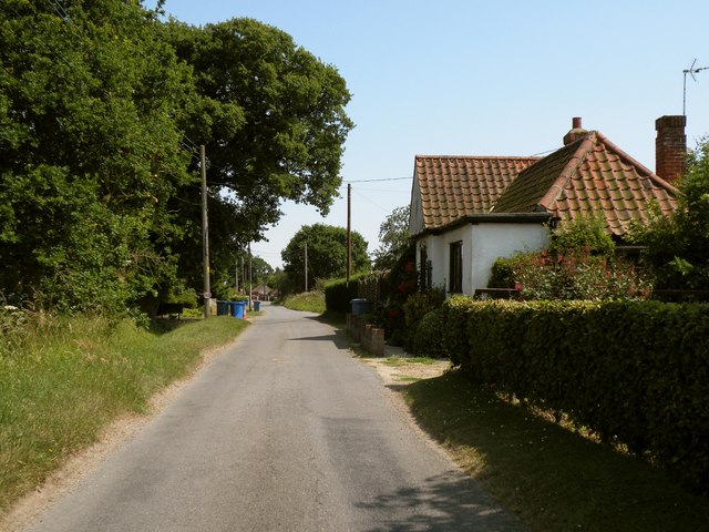
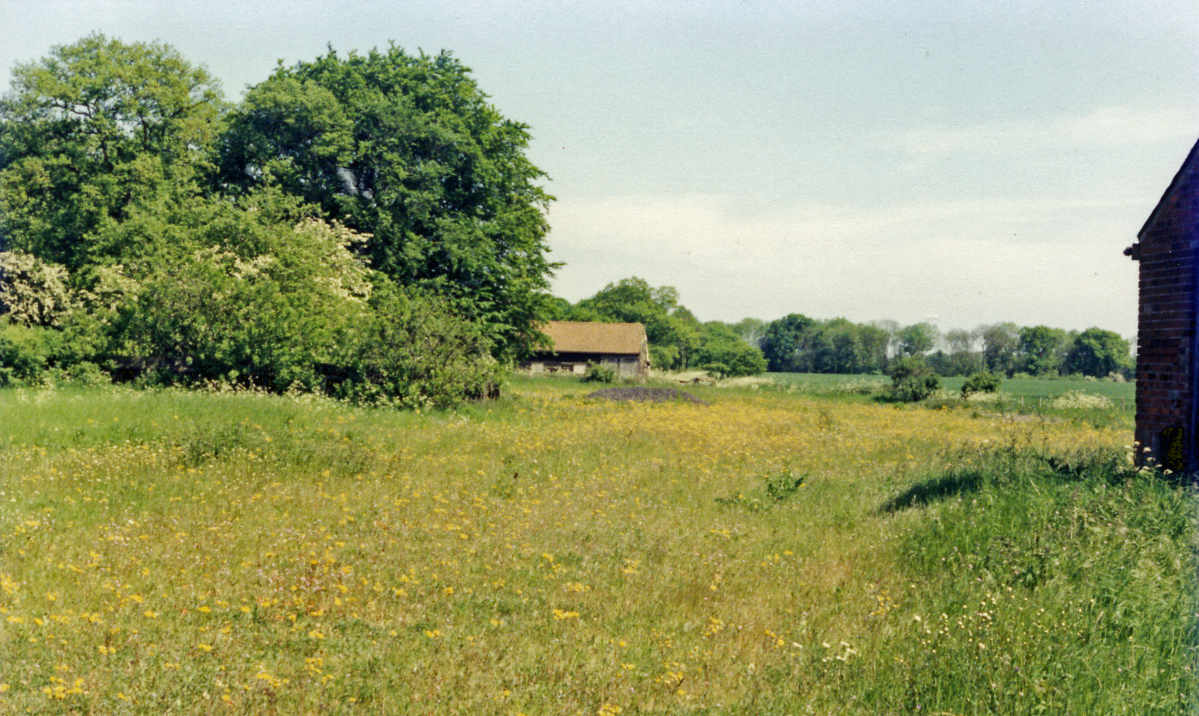
Brockley Wood is a picturesque woodland located in Suffolk, England. Covering an area of approximately 100 acres, this woodland is known for its natural beauty and diverse range of flora and fauna. The woodland is situated in close proximity to the village of Brockley, hence its name.

Brockley Wood is characterized by its dense canopy of mature trees, including oak, beech, and ash. These towering trees provide a cool and peaceful atmosphere, making it an ideal retreat for nature lovers and hikers alike. The forest floor is adorned with a carpet of wildflowers during spring and summer, adding bursts of color to the landscape.

The woodland is home to a variety of wildlife, making it a haven for nature enthusiasts. Visitors may encounter various bird species, such as woodpeckers, thrushes, and finches. Additionally, mammals like foxes, badgers, and deer can also be spotted in Brockley Wood.

The woodland offers a network of well-maintained trails and pathways, allowing visitors to explore its beauty on foot. These trails wind through the forest, providing opportunities for peaceful walks, jogging, and even cycling.

Brockley Wood is managed by the Suffolk Wildlife Trust, ensuring its conservation and protection. The trust organizes various events and guided walks throughout the year, allowing visitors to learn more about the woodland and its inhabitants.

In conclusion, Brockley Wood is a charming woodland in Suffolk, offering a serene and tranquil environment for visitors to enjoy the wonders of nature.

If you have any feedback on the listing, please let us know in the comments section below.

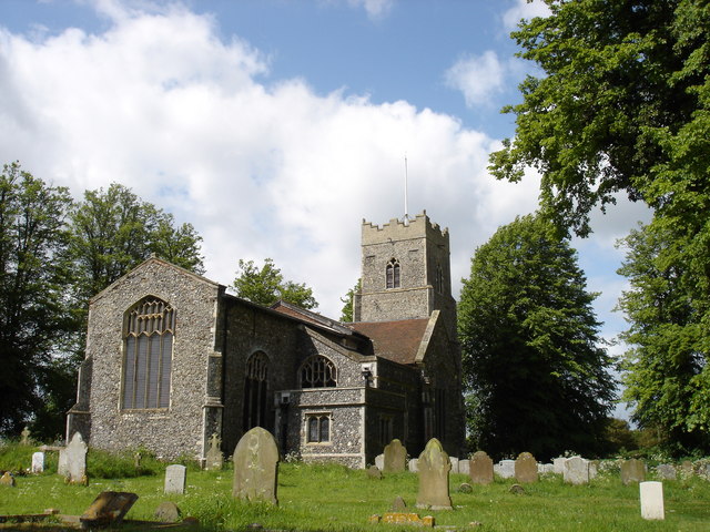
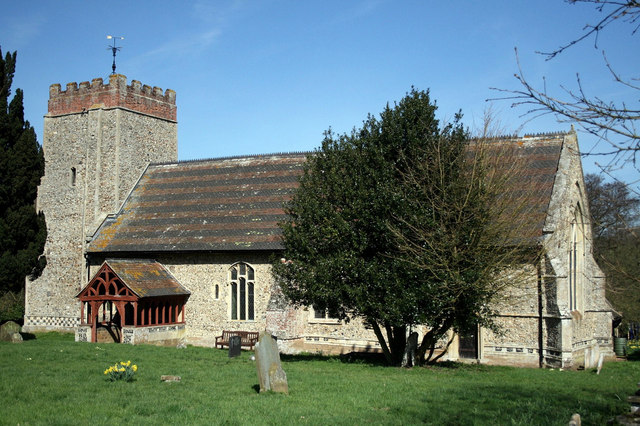
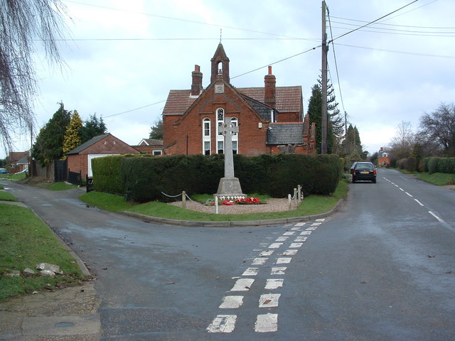
Brockley Wood Images

Images are sourced within 2km of 52.016975/1.0799835 or Grid Reference TM1139. Thanks to Geograph Open Source API. All images are credited.

Wenham Road & Folly Lane Byway Near Cottage Farm
Wenham Road & Folly Lane Byway
Near Cottage Farm
Folly Lane Byway off Wenham Road Near Cottage Farm
Folly Lane Byway off Wenham Road
Near Cottage Farm
Wenham Road & The Barn Veterinary Practice <span class="nowrap"><a title="http://www.barnvets.com/" rel="nofollow ugc noopener" href="http://www.barnvets.com/">Link</a><img style="margin-left:2px;" alt="External link" title="External link - shift click to open in new window" src="https://s1.geograph.org.uk/img/external.png" width="10" height="10"/></span>
Wenham Road & The Barn Veterinary Practice
The Barn Veterinary Practice sign On Wenham Road
<span class="nowrap"><a title="http://www.barnvets.com/" rel="nofollow ugc noopener" href="http://www.barnvets.com/">Link</a><img style="margin-left:2px;" alt="External link" title="External link - shift click to open in new window" src="https://s1.geograph.org.uk/img/external.png" width="10" height="10"/></span>
The Barn Veterinary Practice sign
On Wenham Road LinkExternal link
St. Mary's church, Bentley, Suffolk This church dates back to the Normans but a lot of what we see now is restoration in 1858 and 1884. It stands a long way north of the village.
St. Mary's church, Bentley, Suffolk
This church dates back to the Normans but a lot of what we see now is restoration in 1858 and 1884. It stands a long way north of the village.
Carpet of Bluebells Carpet of Bluebells in wood May 2005.
Carpet of Bluebells
Carpet of Bluebells in wood May 2005.
White House, near Copdock, Suffolk This 19th century house stands alongside the original A.12, which follows the course of a Roman road.
White House, near Copdock, Suffolk
This 19th century house stands alongside the original A.12, which follows the course of a Roman road.
Main Line View of the London to Norwich railway line south of Ipswich Suffolk
Main Line
View of the London to Norwich railway line south of Ipswich Suffolk
Railway Bridge The south side of the railway bridge near to Bentley Park Suffolk spanning the London to Norwich main line.
Railway Bridge
The south side of the railway bridge near to Bentley Park Suffolk spanning the London to Norwich main line.
To Bentley Old Hall This track lead to Bentley Old Hall Suffolk.
To Bentley Old Hall
This track lead to Bentley Old Hall Suffolk.
Bentley Manor Distant view of Bentley Manor Suffolk.
Bentley Manor
Distant view of Bentley Manor Suffolk.
Clay Hall (behind a ripe crop of oil seed rape) The footpath passes close to Clay Hall and through the farmyard which has a pond with ducks
Clay Hall (behind a ripe crop of oil seed rape)
The footpath passes close to Clay Hall and through the farmyard which has a pond with ducks
Interchange Interchange for the A12 south of Copdock, Suffolk.
Interchange
Interchange for the A12 south of Copdock, Suffolk.
Folly Lane, looking southeast
Bentley St Mary's church (Suffolk) The church has been heavily restored over many years and very little of the original Norman workmanship remains today. The tower is 15th c. There is a remade Norman doorway with one original stone worked into it and a Norman slit window in the north wall of the sanctuary. A 15th c. font has replaced the 13th c. original bowl but the purbeck base remains. Another 13th c. purbeck bowl has found its way into the north aisle but it doesn’t match the base, perhaps it was brought in as a replacement and found unsuitable. There are two 15th c. benches with carved ends and buttressed arm rests and grotesques.
Bentley St Mary's church (Suffolk)
The church has been heavily restored over many years and very little of the original Norman workmanship remains today. The tower is 15th c. There is a remade Norman doorway with one original stone worked into it and a Norman slit window in the north wall of the sanctuary. A 15th c. font has replaced the 13th c. original bowl but the purbeck base remains. Another 13th c. purbeck bowl has found its way into the north aisle but it doesn’t match the base, perhaps it was brought in as a replacement and found unsuitable. There are two 15th c. benches with carved ends and buttressed arm rests and grotesques.
Harwich Parkeston Quay to Ipswich train nr Bentley Climbing Belstead bank is the lunch time service from Harwich Parkeston Quay to Peterborough. Next stop is Ipswich.
Harwich Parkeston Quay to Ipswich train nr Bentley
Climbing Belstead bank is the lunch time service from Harwich Parkeston Quay to Peterborough. Next stop is Ipswich.
Cottage Farm The road in the picture is Wenham Road.
Cottage Farm
The road in the picture is Wenham Road.
Bentley railway bridge Road bridge over the Great Eastern Main Line. Similar design to <a href="https://www.geograph.org.uk/photo/2457567">TM1239 : Footpath bridge over railway, near Bentley Manor</a>.
Bentley railway bridge
Road bridge over the Great Eastern Main Line. Similar design to TM1239 : Footpath bridge over railway, near Bentley Manor.
Show me another place!

Brockley Wood is located at Grid Ref: TM1139 (Lat: 52.016975, Lng: 1.0799835)

Administrative County: Suffolk

District: Babergh

Police Authority: Suffolk

What 3 Words

///arrow.sampled.skirting. Near Capel St Mary, Suffolk

Nearby Locations

Brockley Wood

Related Wikis

Old London Road

Old London Road is a cricket ground in Copdock, Suffolk. The first recorded match on the ground was in 1847, when the Gentlemen of Suffolk played the...

Copdock

Copdock is a village and former civil parish, now in the parish of Copdock and Washbrook, in the Babergh district, in the county of Suffolk, England. In...

Copdock and Washbrook

Copdock and Washbrook is a civil parish in the Babergh district in the county of Suffolk, England. It covers the villages of Copdock and Washbrook, as...

Capel railway station

Capel railway station was a station in Capel St Mary, Suffolk, on a short branch line from Bentley Junction to Hadleigh. The station buildings were remarkably...

Bentley Church railway station

Bentley Church railway station was located in Suffolk, the village of Bentley. It was situated between the stations of Hadleigh and Manningtree, 1+1⁄4...
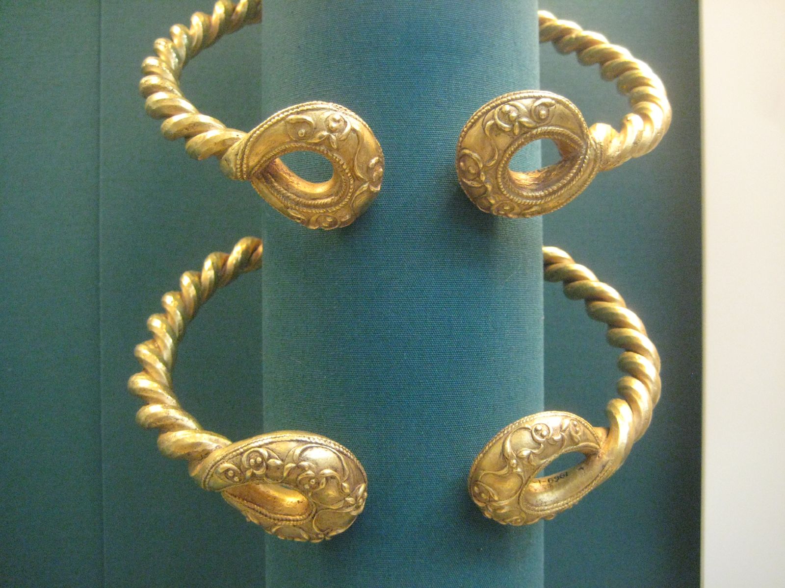
Ipswich Hoard

There are two notable Ipswich Hoards (which is to say, ancient hoards found in Ipswich, the county town of Suffolk, England). The first was a hoard of...

Washbrook

Washbrook is a village and former civil parish 3 miles (4.8 km) south west of Ipswich, now in the parish of Copdock and Washbrook, in the Babergh district...

Belstead

Belstead is a village and civil parish in the Babergh district of the English county of Suffolk. Located on the southern edge of Ipswich, around 3 miles...

Nearby Amenities

Located within 500m of 52.016975,1.0799835
Motorway Junction
Ref: 32B
Lat/Long: 52.0184655/1.0765958
Power: pole
Lat/Long: 52.0130557/1.0772878
Power: pole
Lat/Long: 52.0137655/1.0761077
Power: pole
Lat/Long: 52.0145018/1.0748792
Power: pole
Lat/Long: 52.0151703/1.0738063
Power: pole
Lat/Long: 52.0168096/1.0729105
Power: pole
Lat/Long: 52.0195662/1.0772315
Power: pole
Lat/Long: 52.0188331/1.0748159
Power: pole
Lat/Long: 52.0162665/1.0734147
Power: pole
Lat/Long: 52.0184306/1.0734013
Power: pole
Lat/Long: 52.0151704/1.0744367
Power: pole
Lat/Long: 52.0191552/1.075818
Power: pole
Lat/Long: 52.0156822/1.0739592
Power: pole
Lat/Long: 52.0205995/1.0785324
The data included in this document is from www.openstreetmap.org. The data is made available under ODbL.

Have you been to Brockley Wood?

Leave your review of Brockley Wood below (or comments, questions and feedback).