Whiteacre
Settlement in Kent Canterbury
England
Whiteacre

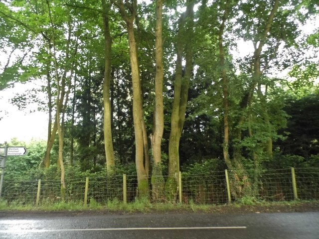
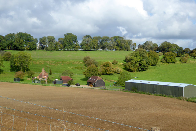
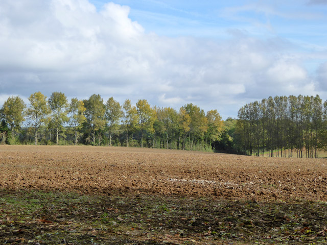
Whiteacre is a small village located in the county of Kent, in southeastern England. Situated approximately 10 miles southwest of the city of Canterbury, Whiteacre is part of the Canterbury district. The village is nestled amidst picturesque countryside, characterized by rolling hills, fertile farmland, and charming rural landscapes.
With a population of around 500 residents, Whiteacre maintains a close-knit community atmosphere. The village is renowned for its tranquil ambience, making it an ideal destination for those seeking a peaceful retreat from the hustle and bustle of city life. The architecture of Whiteacre is predominantly traditional, with a mix of charming cottages and elegant farmhouses that reflect the village's rich heritage.
Despite its small size, Whiteacre offers a range of amenities to its inhabitants. The village features a local primary school, a village hall that serves as a community center, and a quaint parish church that dates back several centuries. Additionally, there are a few small shops and local businesses that cater to the needs of the residents.
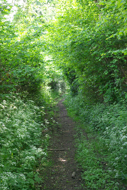
The surrounding countryside around Whiteacre provides ample opportunities for outdoor activities and exploration. The village is located near several nature reserves and walking trails, allowing residents and visitors to immerse themselves in the natural beauty of the area. Furthermore, Whiteacre benefits from its proximity to Canterbury, where a wider range of amenities and cultural attractions can be found.
Overall, Whiteacre offers a peaceful and idyllic rural lifestyle, combined with easy access to nearby amenities and natural beauty, making it an attractive place to reside or visit.
If you have any feedback on the listing, please let us know in the comments section below.
Whiteacre Images
Images are sourced within 2km of 51.191667/1.021193 or Grid Reference TR1147. Thanks to Geograph Open Source API. All images are credited.


Whiteacre is located at Grid Ref: TR1147 (Lat: 51.191667, Lng: 1.021193)
Administrative County: Kent
District: Canterbury
Police Authority: Kent
What 3 Words
///trio.script.importers. Near Wye, Kent
Nearby Locations
Related Wikis

Waltham, Kent
Waltham is a village and civil parish 7 miles (11 km) southwest of Canterbury in Kent, England. == History == The village was once associated with the...

Yockletts Bank
Yockletts Bank is a 25.4-hectare (63-acre) biological Site of Special Scientific Interest west of Stelling Minnis in Kent. It is managed by KWT and is...

Anvil Green
Anvil Green is a small settlement located near Waltham in Kent, England, about nine miles (14.4 km) north east of Ashford. == External links == Media...

Shrub's Wood Long Barrow
Shrub's Wood Long Barrow is an unchambered long barrow located near to the village of Elmsted in the south-eastern English county of Kent. It was probably...

Park Gate Down
Park Gate Down or Parkgate Down is a 7-hectare (17-acre) biological Site of Special Scientific Interest south-east of Stelling Minnis in Kent. It is also...

Spong Wood
Spong Wood is a 18-hectare (44-acre) nature reserve west of Stelling Minnis in Kent. It is managed by Kent Wildlife Trust.Common trees in this coppiced...

Elmsted
Elmsted is a village and civil parish in the Folkestone and Hythe District of Kent, England. It is located west of Stone Street (the B2068), the Roman...

Stelling Minnis
Stelling Minnis is a village and civil parish in the Folkestone and Hythe district in Kent, England. The village lies 13 kilometres (8 mi) to the south...
Nearby Amenities
Located within 500m of 51.191667,1.021193Have you been to Whiteacre?
Leave your review of Whiteacre below (or comments, questions and feedback).