White Waltham

Settlement in Berkshire

England

White Waltham

St Mary, White Waltham: gravestones in the churchyard
St Mary, White Waltham: gravestones in the churchyard Credit: Basher Eyre

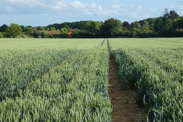
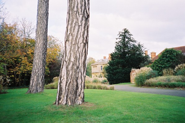
White Waltham is a charming village located in the county of Berkshire, England, approximately 5 miles west of the town of Maidenhead. Nestled amidst the picturesque countryside, it is known for its idyllic setting and rich history.

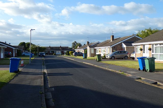
The village is home to a population of around 1,000 residents and offers a peaceful and close-knit community atmosphere. Its origins trace back to the Domesday Book, where it was recorded as "Waltham," highlighting its long-standing heritage. The addition of "White" in the name is derived from the white walls of the local manor house.

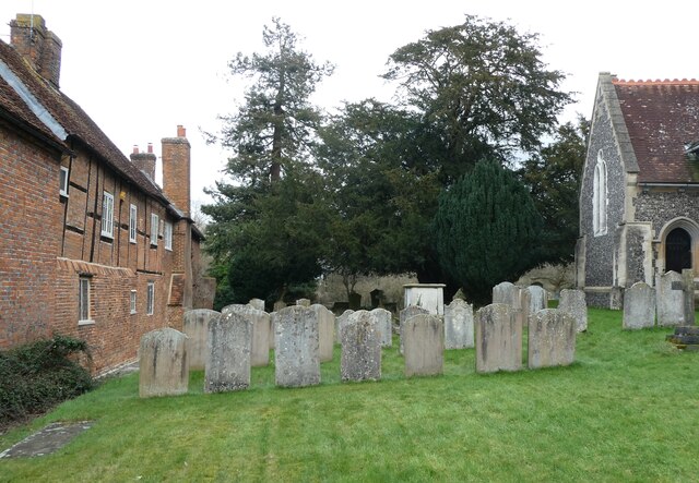
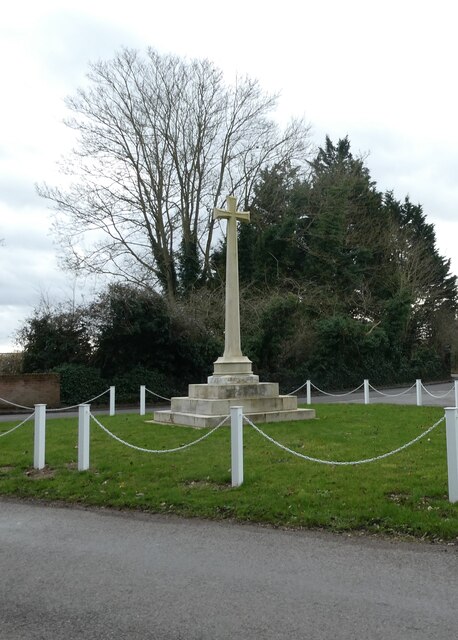
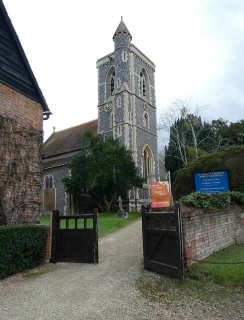
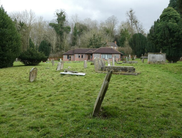
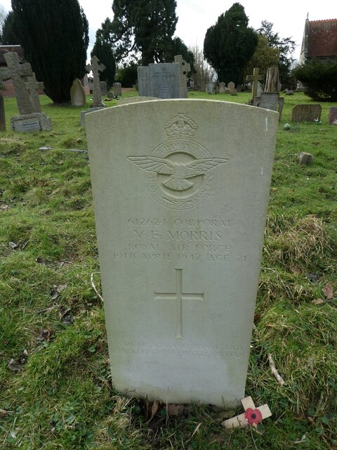
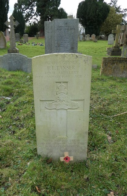
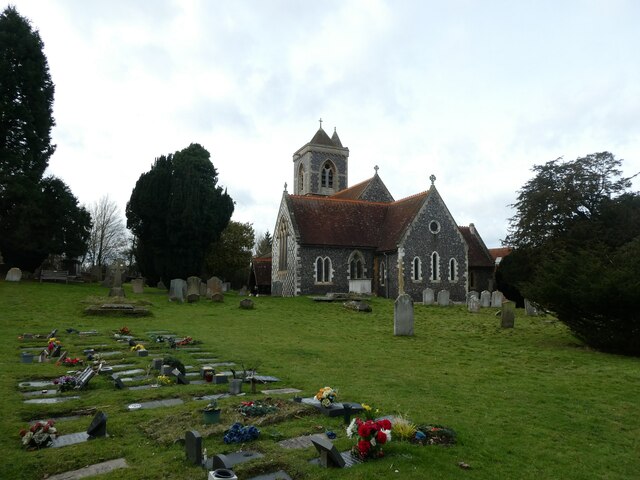
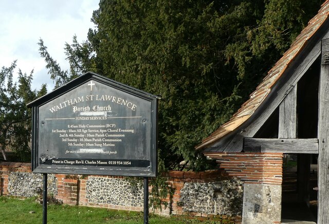
One of the prominent landmarks of White Waltham is the historic St. Mary's Church, dating back to the 12th century. This beautiful structure showcases both Norman and Gothic architectural elements and provides a glimpse into the village's past.

White Waltham is also renowned for its aviation connections. The village is home to the White Waltham Airfield, a former RAF base established during World War II. Today, it is a thriving center for recreational flying and gliding activities, attracting enthusiasts from all over the country.

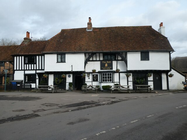
In terms of amenities, the village offers a range of amenities to cater to its residents' needs. These include a village hall, a primary school, a local pub, and a cricket club. The surrounding countryside provides ample opportunities for outdoor activities such as walking, cycling, and horse riding.

Overall, White Waltham is a picturesque village steeped in history and offers a tranquil and close-knit community for its residents. Its combination of natural beauty, historic landmarks, and aviation heritage makes it a unique and appealing place to live or visit.

If you have any feedback on the listing, please let us know in the comments section below.

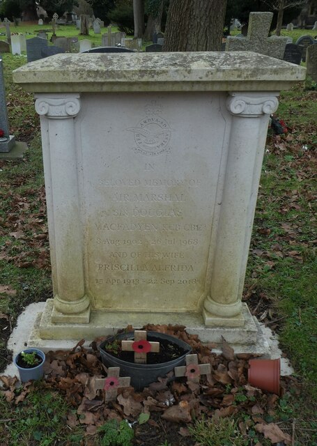
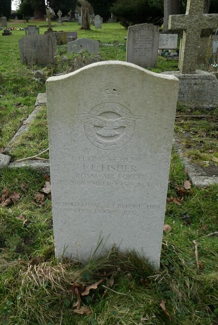
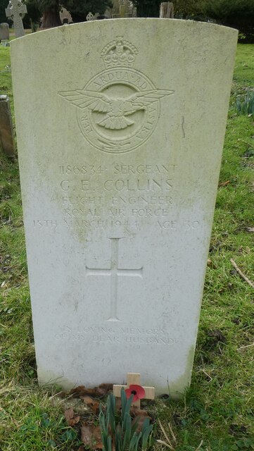
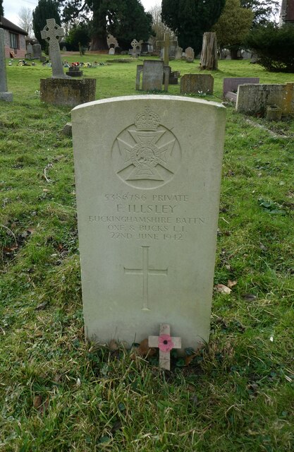
White Waltham Images

Images are sourced within 2km of 51.488232/-0.778465 or Grid Reference SU8477. Thanks to Geograph Open Source API. All images are credited.

St Mary, White Waltham: gravestones in the churchyard
Waltham Cross War Memorial: early February 2022
Junction of Broadmoor Road with the drive to Shottesbrooke Park
St Mary, White Waltham: entrance
St Mary, White Waltham: hall
St Mary, White Waltham: an Air Marshall's grave For more about Sir Douglas Macfadyen see <span class="nowrap"><a title="https://www.rafweb.org/Biographies/Macfadyen_D.htm" rel="nofollow ugc noopener" href="https://www.rafweb.org/Biographies/Macfadyen_D.htm">Link</a><img style="margin-left:2px;" alt="External link" title="External link - shift click to open in new window" src="https://s1.geograph.org.uk/img/external.png" width="10" height="10"/></span>
St Mary, White Waltham: an Air Marshall's grave
For more about Sir Douglas Macfadyen see LinkExternal link
St Mary, White Waltham: CWGC grave (a) Sergeant George Edward Collins of the RAFVR died on  15 March 1944, aged 30. He was the son of George James Collins and Eva Rosina Collins; and the husband of Linda Louisa May Collins, of White Waltham.
St Mary, White Waltham: CWGC grave (a)
Sergeant George Edward Collins of the RAFVR died on 15 March 1944, aged 30. He was the son of George James Collins and Eva Rosina Collins; and the husband of Linda Louisa May Collins, of White Waltham.
St Mary, White Waltham: CWGC grave (b) Sergeant George Edward Collins of the RAFVR died on  15 March 1944, aged 30. He was the son of George James Collins and Eva Rosina Collins; and the husband of Linda Louisa May Collins, of White Waltham.
St Mary, White Waltham: CWGC grave (b)
Sergeant George Edward Collins of the RAFVR died on 15 March 1944, aged 30. He was the son of George James Collins and Eva Rosina Collins; and the husband of Linda Louisa May Collins, of White Waltham.
St Mary, White Waltham: CWGC grave (c) Private Frederick Illesley of the Oxford and Bucks Light Infantry, who died on 22 June 1942
St Mary, White Waltham: CWGC grave (c)
Private Frederick Illesley of the Oxford and Bucks Light Infantry, who died on 22 June 1942
St Mary, White Waltham: CWGC grave (d) Corporal Vincent Francis Morris of the RAF who died on 19 April 1942, aged 21.
St Mary, White Waltham: CWGC grave (d)
Corporal Vincent Francis Morris of the RAF who died on 19 April 1942, aged 21.
St Mary, White Waltham: CWGC grave (e) Gunner Frederick Levi Tanser of the Royal Artillery who died on 19 January 1940, aged 22. He was the son of Frederick and Emily Tanser of White Waltham.
St Mary, White Waltham: CWGC grave (e)
Gunner Frederick Levi Tanser of the Royal Artillery who died on 19 January 1940, aged 22. He was the son of Frederick and Emily Tanser of White Waltham.
St Mary, White Waltham:  early February 2022
St Mary, White Waltham: early February 2022
The Bell, Waltham St Lawrence: early February 2022
Blue plaque on The Bell Also see <span class="nowrap"><a title="http://www.berkshirehistory.com/bios/rnewbery.html" rel="nofollow ugc noopener" href="http://www.berkshirehistory.com/bios/rnewbery.html">Link</a><img style="margin-left:2px;" alt="External link" title="External link - shift click to open in new window" src="https://s1.geograph.org.uk/img/external.png" width="10" height="10"/></span>
Blue plaque on The Bell
Also see LinkExternal link
Waltham St Lawrence: noticeboard
Farmland, Waltham St Lawrence A large field of wheat with the buildings of Halls Farm amongst the trees.
Farmland, Waltham St Lawrence
A large field of wheat with the buildings of Halls Farm amongst the trees.
Willant Close, Woodlands Park, White Waltham The western edge of the built up area with the bungalows on the left backing onto the airfield.
Willant Close, Woodlands Park, White Waltham
The western edge of the built up area with the bungalows on the left backing onto the airfield.
Farmland, Shottesbrooke Spring barley to the west of Smewins Road.
Farmland, Shottesbrooke
Spring barley to the west of Smewins Road.
Show me another place!

White Waltham is located at Grid Ref: SU8477 (Lat: 51.488232, Lng: -0.778465)

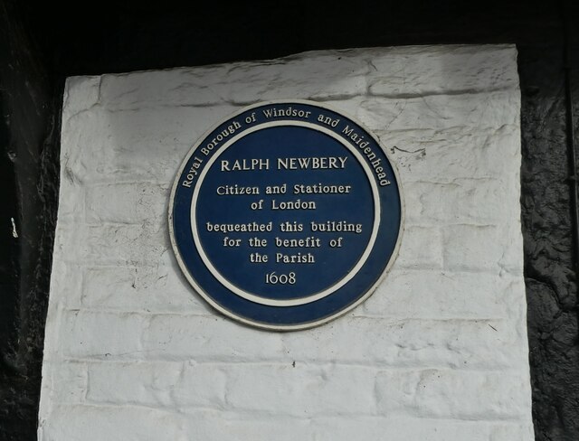
Unitary Authority: Windsor and Maidenhead

Police Authority: Thames Valley

What 3 Words

///exotic.cage.someone. Near White Waltham, Berkshire

Nearby Locations

White Waltham

Related Wikis

White Waltham

White Waltham is a village and civil parish, 3.5 miles (6 km) west of Maidenhead, in the Royal Borough of Windsor and Maidenhead in Berkshire, England...

Shottesbrooke

Shottesbrooke is a hamlet and civil parish administered by the unitary authority of the Royal Borough of Windsor and Maidenhead in the English county...

Shottesbrooke Park

Shottesbrooke Park is a Grade II* listed country house and park in Shottesbrooke, Berkshire, England, southwest of Maidenhead. The house is a Tudor mansion...

Cookham Rural District

Cookham was a rural district in Berkshire, England from 1894 to 1974. The district was formed by the Local Government Act 1894 as a successor to the Cookham...

Nearby Amenities

Located within 500m of 51.488232,-0.778465
Turning Circle
Lat/Long: 51.4906213/-0.7743147
Historic: memorial
Memorial: war_memorial
Lat/Long: 51.4882839/-0.7787006
Shottesbrooke
Place: hamlet
Source: os25k
Lat/Long: 51.485075/-0.7825507
Post Box
Post Box Type: pillar
Ref: SL6 101
Royal Cypher: GVIR
Royal Cypher Wikidata: Q33102169
Lat/Long: 51.4889042/-0.7770803
Turning Circle
Lat/Long: 51.4922933/-0.7755387
Turning Circle
Lat/Long: 51.4919425/-0.7754814
Turning Circle
Lat/Long: 51.4916458/-0.7753094
Turning Circle
Lat/Long: 51.491636/-0.7746075
Turning Circle
Lat/Long: 51.490979/-0.7738905
Turning Circle
Lat/Long: 51.4907574/-0.7737601
Turning Circle
Lat/Long: 51.4906652/-0.7747335
Turning Circle
Lat/Long: 51.4918066/-0.7742684
Direction: 140
Generator Method: photovoltaic
Generator Output Electricity: yes
Generator Solar Modules: 7
Generator Source: solar
Generator Type: solar_photovoltaic_panel
Location: roof
Power: generator
Lat/Long: 51.4885272/-0.7777768
Direction: 110
Generator Method: photovoltaic
Generator Output Electricity: yes
Generator Solar Modules: 7
Generator Source: solar
Generator Type: solar_photovoltaic_panel
Location: roof
Power: generator
Lat/Long: 51.4861991/-0.7788065
Direction: 200
Generator Method: photovoltaic
Generator Output Electricity: yes
Generator Solar Modules: 6
Generator Source: solar
Generator Type: solar_photovoltaic_panel
Location: roof
Power: generator
Lat/Long: 51.486216/-0.7787509
The data included in this document is from www.openstreetmap.org. The data is made available under ODbL.

Have you been to White Waltham?

Leave your review of White Waltham below (or comments, questions and feedback).