Tong Wood

Wood, Forest in Kent Canterbury

England

Tong Wood

Fox's Cross Bottom A sign on the gate indicates this is part of Wraik Hill Nature Reserve "A place for people and wildlife. The fields and hedgerows at Wraik Hill are a haven for wildlife. In winter, woodcock feed on the wet grassland and fieldfares feast on thorn berries. In summer, nightingales nest in the dense scrub and on sunny days the air is full of the songs of crickets and grass-hoppers, including the scarce Roesel's bush cricket... Look out for plants like pepper saxifrage, grass vetchling and spiny restharrow which grow only on grassland that has not been 'improved' with chemicals". 
The gate was firmly padlocked.
Fox's Cross Bottom Credit: Penny Mayes

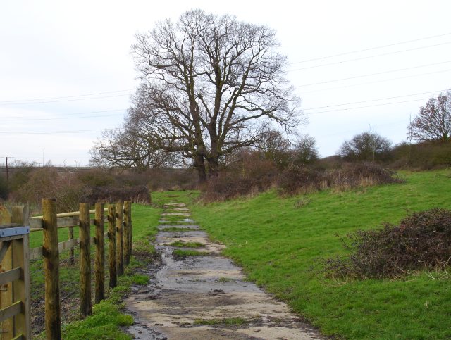
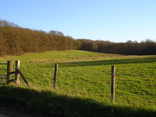
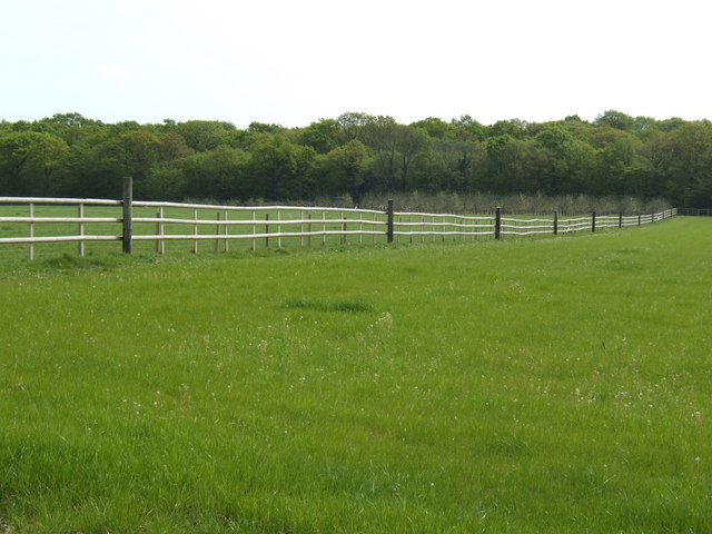
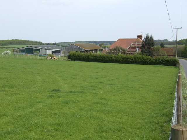
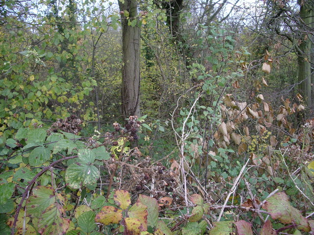
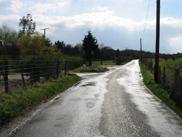
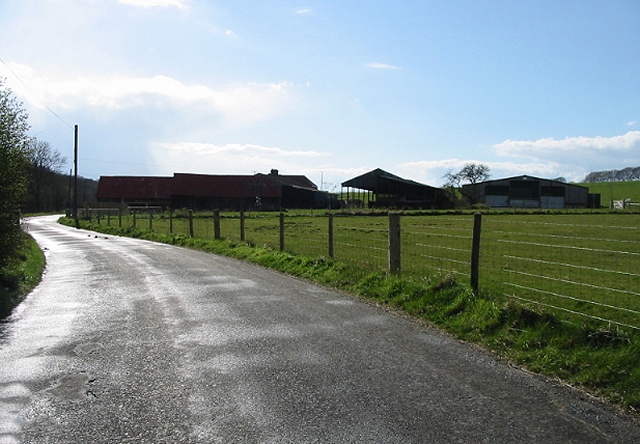
Tong Wood, located in Kent, England, is a beautiful forest area that spans approximately 500 acres. Nestled in the countryside, Tong Wood is known for its lush greenery, diverse wildlife, and tranquil atmosphere, making it a popular destination for nature enthusiasts and hikers.

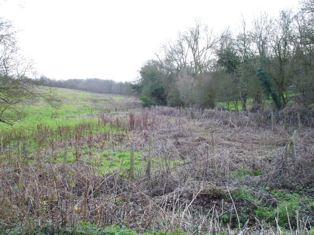
The wood is predominantly composed of broadleaf trees, including oak, beech, and ash, which create a dense canopy overhead. This provides a cool shade during the summer months and a vibrant display of colors during the autumn season.

Tong Wood is home to a variety of wildlife, including deer, foxes, badgers, and numerous bird species. The forest's diverse ecosystem makes it an ideal habitat for these animals, and visitors often have the opportunity to spot them while exploring the woodland trails.

The wood offers a network of well-maintained footpaths and trails, allowing visitors to explore its natural beauty at their own pace. With its gentle slopes and rolling hills, Tong Wood provides a peaceful and picturesque setting for walking, jogging, or simply enjoying a picnic amidst nature.

For those interested in the historical aspect of the wood, there are remnants of ancient settlements and archaeological sites scattered throughout the area. These traces offer a glimpse into the rich history of the region.

Overall, Tong Wood in Kent offers visitors a chance to escape the hustle and bustle of everyday life and immerse themselves in the tranquility of nature. Whether it's a leisurely stroll, a wildlife encounter, or a historical exploration, this forest provides a serene and captivating experience for all who visit.

If you have any feedback on the listing, please let us know in the comments section below.

Tong Wood Images

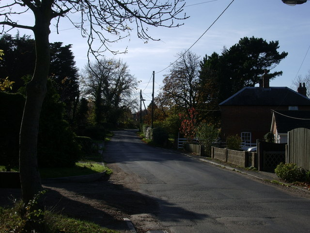
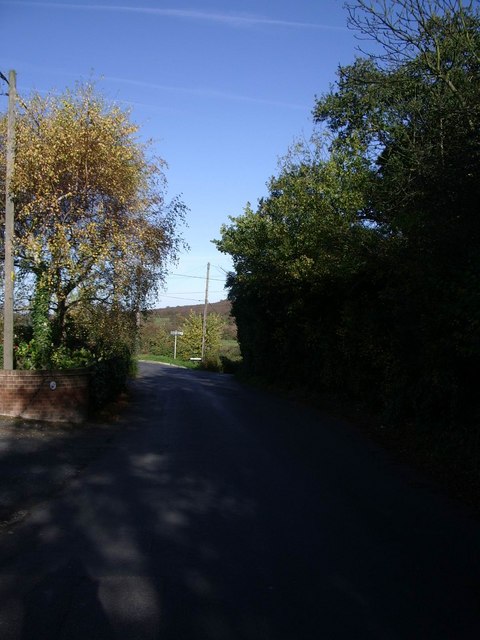
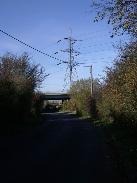
Images are sourced within 2km of 51.319613/1.0201659 or Grid Reference TR1062. Thanks to Geograph Open Source API. All images are credited.

Fox's Cross Bottom A sign on the gate indicates this is part of Wraik Hill Nature Reserve "A place for people and wildlife. The fields and hedgerows at Wraik Hill are a haven for wildlife. In winter, woodcock feed on the wet grassland and fieldfares feast on thorn berries. In summer, nightingales nest in the dense scrub and on sunny days the air is full of the songs of crickets and grass-hoppers, including the scarce Roesel's bush cricket... Look out for plants like pepper saxifrage, grass vetchling and spiny restharrow which grow only on grassland that has not been 'improved' with chemicals". 
The gate was firmly padlocked.
Fox's Cross Bottom
A sign on the gate indicates this is part of Wraik Hill Nature Reserve "A place for people and wildlife. The fields and hedgerows at Wraik Hill are a haven for wildlife. In winter, woodcock feed on the wet grassland and fieldfares feast on thorn berries. In summer, nightingales nest in the dense scrub and on sunny days the air is full of the songs of crickets and grass-hoppers, including the scarce Roesel's bush cricket... Look out for plants like pepper saxifrage, grass vetchling and spiny restharrow which grow only on grassland that has not been 'improved' with chemicals". The gate was firmly padlocked.
Fox's Cross Bottom Rough pasture south of Fox's Cross Hill.
Fox's Cross Bottom
Rough pasture south of Fox's Cross Hill.
Elysian Fields On Wraik Hill
Elysian Fields
On Wraik Hill
Windy Ridge This guest house on Wraik Hill has an extraordinary stone wall on its road frontage, incorporating several arches. The house also has stone cornices. Their website says "...originally a pair of farm cottages, the house was rebuilt and extended using reclaimed timber and stone to create an unusual building of unique character."
Windy Ridge
This guest house on Wraik Hill has an extraordinary stone wall on its road frontage, incorporating several arches. The house also has stone cornices. Their website says "...originally a pair of farm cottages, the house was rebuilt and extended using reclaimed timber and stone to create an unusual building of unique character."
Eastern end of the Blean This squared off clearing on the edge of the wood was plainly cleared many years ago as it shows on the 1940s OS map. It is east of the hamlet of Dargate and seen from the Dargate Road.
Eastern end of the Blean
This squared off clearing on the edge of the wood was plainly cleared many years ago as it shows on the 1940s OS map. It is east of the hamlet of Dargate and seen from the Dargate Road.
Pasture and woodland The northern edge of North Bishopden Wood. More ex-orchard land, see <a href="https://www.geograph.org.uk/photo/413307">TR0657 : Paddocks where there used to be orchards</a>.
Pasture and woodland
The northern edge of North Bishopden Wood. More ex-orchard land, see TR0657 : Paddocks where there used to be orchards.
Denstroude Farm In the part of Kent known as The Blean; an area of pasture and woodland between Canterbury and the north coast.
Denstroude Farm
In the part of Kent known as The Blean; an area of pasture and woodland between Canterbury and the north coast.
Yorkletts, looking across to Seasalter This is the view seen by the residents of the bungalows that line the lane at Yorkletts.
Yorkletts, looking across to Seasalter
This is the view seen by the residents of the bungalows that line the lane at Yorkletts.
Dargate Road, Yorkletts Looking towards Highstreet.
Dargate Road, Yorkletts
Looking towards Highstreet.
Dargate Road looking towards Fox's Cross Hill
Approaching the Thanet Way underpass at Yorkletts
Coombe Wood, Yorkletts There are lots of new houses being built along this track and there doesn't seem to be a lot of woodland left.
Coombe Wood, Yorkletts
There are lots of new houses being built along this track and there doesn't seem to be a lot of woodland left.
View along Denstroude Lane to junction with road to Parsonage farm
Meeting of the ways! Denstroude Lane, footpath and road to Parsonage Farm
Meeting of the ways!
Denstroude Lane, footpath and road to Parsonage Farm
Road to Brook Farm from Denstroude Lane
Footpaths and road to Parsonage Farm off Denstroude Lane
Looking NE along Denstroude Lane
Denstroude Farm on Denstroude Lane
Show me another place!

Tong Wood is located at Grid Ref: TR1062 (Lat: 51.319613, Lng: 1.0201659)

Administrative County: Kent

District: Canterbury

Police Authority: Kent

What 3 Words

///conquests.lottery.unloaded. Near Blean, Kent

Related Wikis

Denstroude

Denstroude is a dispersed hamlet located to the west of the A290 road north of Canterbury in Kent, England. It is a collection of houses and farms, one...

Ellenden Wood

Ellenden Wood is a 90.6-hectare (224-acre) biological Site of Special Scientific Interest south of Whitstable in Kent. It is a Nature Conservation Review...

Duncan Down

Duncan Down is an open, public, area to the south west of Whitstable and is the largest village green in the United Kingdom. It is a 21 hectare (52 acre...

Honey Hill, Kent

Honey Hill is a hamlet on the A290 road, near the village of Blean, in the Canterbury district, in the English county of Kent.

Nearby Amenities

Located within 500m of 51.319613,1.0201659
Power: pole
Lat/Long: 51.3153202/1.0212744
Barrier: horse_stile
Lat/Long: 51.3169127/1.0147623
The data included in this document is from www.openstreetmap.org. The data is made available under ODbL.

Have you been to Tong Wood?

Leave your review of Tong Wood below (or comments, questions and feedback).