Pean Hill

Settlement in Kent Canterbury

England

Pean Hill

Services on the Thanet Way The A299 Thanet Way has been greatly improved in recent years and in this area has been transformed from a suicidal three-lane road to dual-carriageway. This has reduced accidents and traffic hold-ups on sunny summer weekends. Whitstable is visible on the left.
Services on the Thanet Way Credit: Penny Mayes

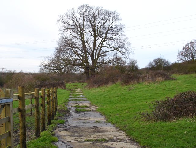
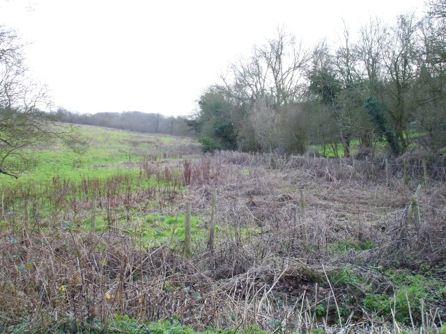
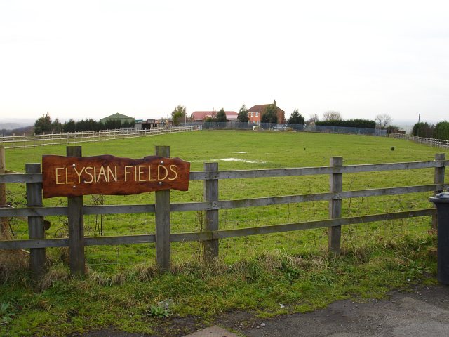
Pean Hill is a small rural settlement located in the county of Kent, England. Situated approximately 8 miles south of Maidstone, it is nestled amidst the picturesque countryside of the Kent Downs Area of Outstanding Natural Beauty. The village is part of the civil parish of Harrietsham and is surrounded by rolling hills, lush green fields, and charming woodland areas.

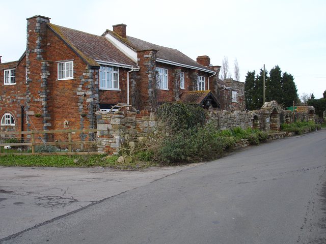
Pean Hill is known for its tranquil and idyllic setting, making it a popular destination for those seeking a peaceful retreat away from the hustle and bustle of city life. The village retains its rural character with a scattering of traditional cottages and farmhouses, some of which date back several centuries.

One of the notable landmarks in Pean Hill is the historic St. John the Baptist Church, a Grade II listed building that stands proudly at the heart of the village. Built in the 12th century, the church features stunning architectural details and is a testament to the area's rich heritage.

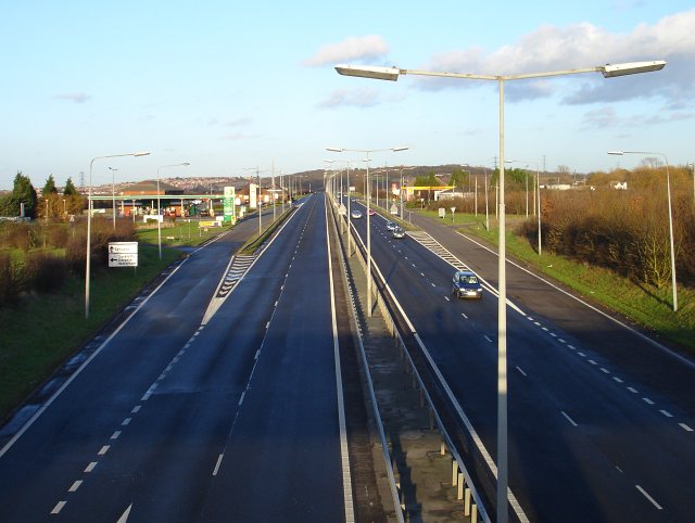
While Pean Hill is predominantly a residential area, it benefits from its proximity to nearby towns and amenities. The village is well-connected to the surrounding areas via a network of country lanes, making it easily accessible for both residents and visitors. The nearby town of Maidstone offers a range of amenities including shops, schools, and recreational facilities.

Overall, Pean Hill offers a charming and peaceful countryside setting, making it an ideal place for those seeking a rural retreat while still having access to nearby amenities and attractions.

If you have any feedback on the listing, please let us know in the comments section below.
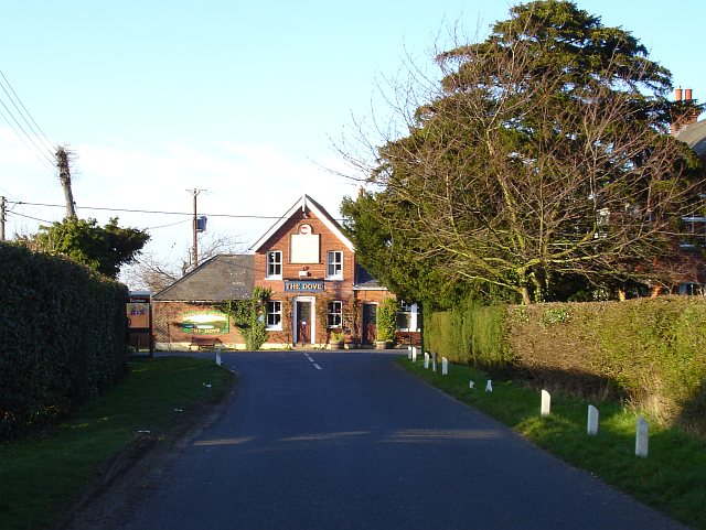
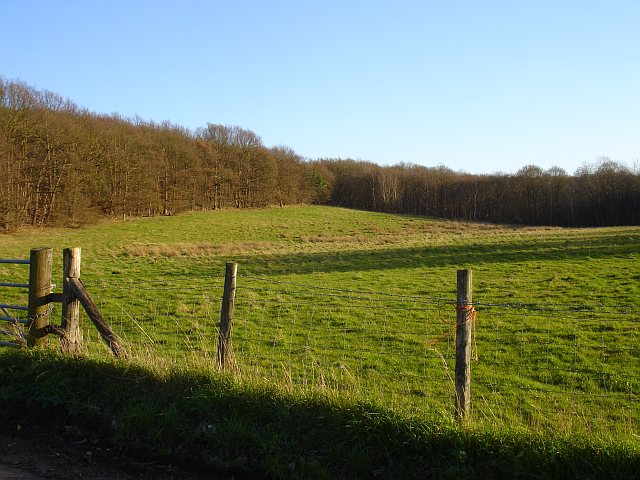
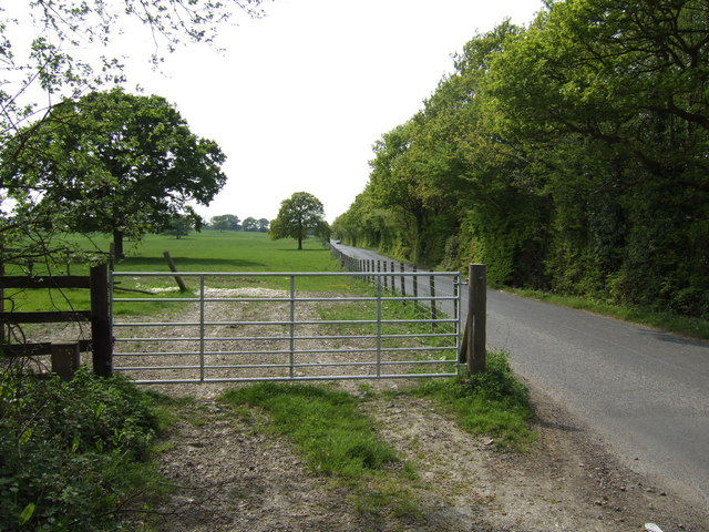
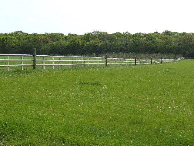
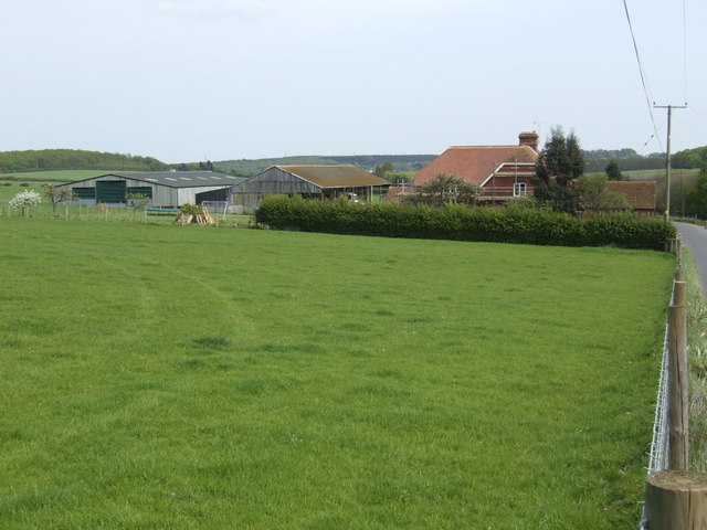
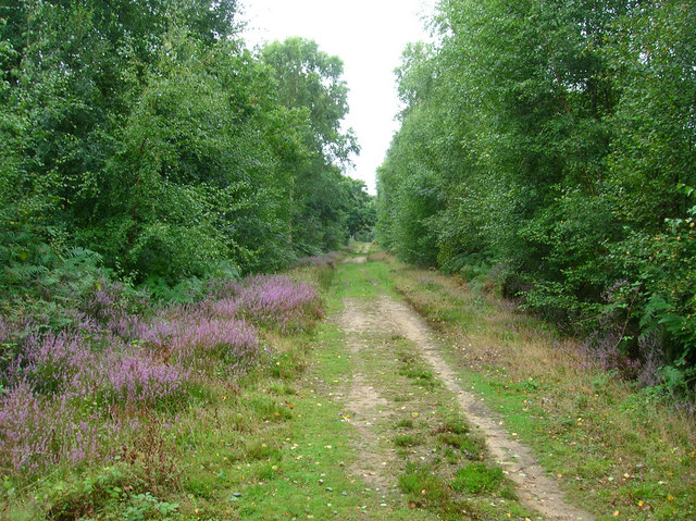
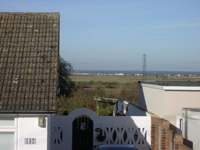
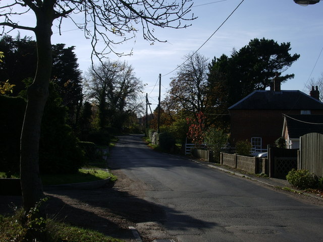
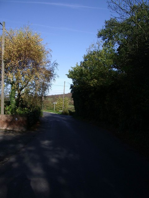
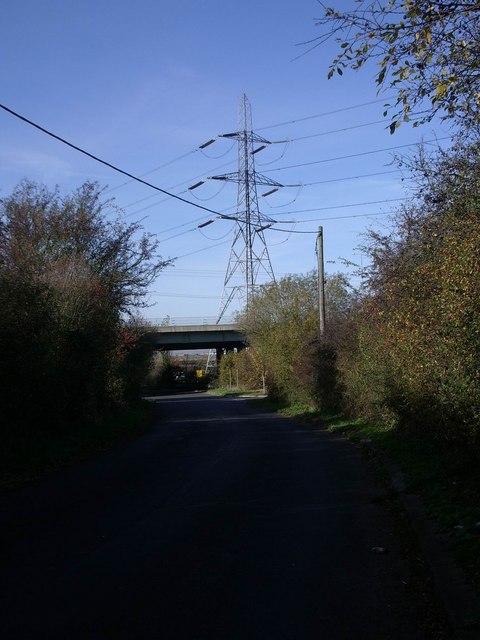
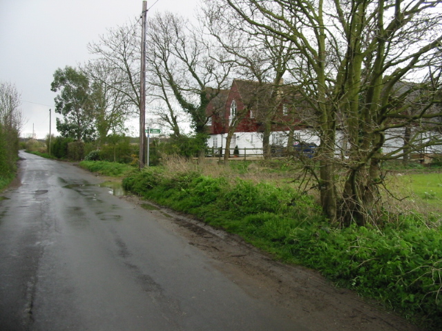
Pean Hill Images

Images are sourced within 2km of 51.318333/1.0122447 or Grid Reference TR1062. Thanks to Geograph Open Source API. All images are credited.

Services on the Thanet Way The A299 Thanet Way has been greatly improved in recent years and in this area has been transformed from a suicidal three-lane road to dual-carriageway. This has reduced accidents and traffic hold-ups on sunny summer weekends. Whitstable is visible on the left.
Services on the Thanet Way
The A299 Thanet Way has been greatly improved in recent years and in this area has been transformed from a suicidal three-lane road to dual-carriageway. This has reduced accidents and traffic hold-ups on sunny summer weekends. Whitstable is visible on the left.
New road from Plumpudding Lane Local lanes which used to make dangerous junctions with the A299 Thanet Way now cross it via bridges with a complex network of slip roads. Plumpudding Lane, just visible, runs from the hamlet of Highstreet to Dargate but if you want to get to either place from Waterham you must use this road. Clay Hill in the background.
New road from Plumpudding Lane
Local lanes which used to make dangerous junctions with the A299 Thanet Way now cross it via bridges with a complex network of slip roads. Plumpudding Lane, just visible, runs from the hamlet of Highstreet to Dargate but if you want to get to either place from Waterham you must use this road. Clay Hill in the background.
Thanet Way viaduct The A299 Thanet Way crosses the edge of Seasalter Levels near Yorkletts.
Thanet Way viaduct
The A299 Thanet Way crosses the edge of Seasalter Levels near Yorkletts.
Drain by Seasalter Lane
Fox's Cross Bottom A sign on the gate indicates this is part of Wraik Hill Nature Reserve "A place for people and wildlife. The fields and hedgerows at Wraik Hill are a haven for wildlife. In winter, woodcock feed on the wet grassland and fieldfares feast on thorn berries. In summer, nightingales nest in the dense scrub and on sunny days the air is full of the songs of crickets and grass-hoppers, including the scarce Roesel's bush cricket... Look out for plants like pepper saxifrage, grass vetchling and spiny restharrow which grow only on grassland that has not been 'improved' with chemicals". 
The gate was firmly padlocked.
Fox's Cross Bottom
A sign on the gate indicates this is part of Wraik Hill Nature Reserve "A place for people and wildlife. The fields and hedgerows at Wraik Hill are a haven for wildlife. In winter, woodcock feed on the wet grassland and fieldfares feast on thorn berries. In summer, nightingales nest in the dense scrub and on sunny days the air is full of the songs of crickets and grass-hoppers, including the scarce Roesel's bush cricket... Look out for plants like pepper saxifrage, grass vetchling and spiny restharrow which grow only on grassland that has not been 'improved' with chemicals". The gate was firmly padlocked.
Fox's Cross Bottom Rough pasture south of Fox's Cross Hill.
Fox's Cross Bottom
Rough pasture south of Fox's Cross Hill.
Elysian Fields On Wraik Hill
Elysian Fields
On Wraik Hill
Windy Ridge This guest house on Wraik Hill has an extraordinary stone wall on its road frontage, incorporating several arches. The house also has stone cornices. Their website says "...originally a pair of farm cottages, the house was rebuilt and extended using reclaimed timber and stone to create an unusual building of unique character."
Windy Ridge
This guest house on Wraik Hill has an extraordinary stone wall on its road frontage, incorporating several arches. The house also has stone cornices. Their website says "...originally a pair of farm cottages, the house was rebuilt and extended using reclaimed timber and stone to create an unusual building of unique character."
The Dove at Dargate Sited at the junction of Butler's Hill with Dargate Road and Plum Pudding Lane this popular eating place was catching the low spring sunshine. I'm surprised the inscription cut into the stone above the door has not come out in the photograph as it was very clear to the eye. It reads "The Dove . Shepherd . Neame & Co . Fine ales"
The Dove at Dargate
Sited at the junction of Butler's Hill with Dargate Road and Plum Pudding Lane this popular eating place was catching the low spring sunshine. I'm surprised the inscription cut into the stone above the door has not come out in the photograph as it was very clear to the eye. It reads "The Dove . Shepherd . Neame & Co . Fine ales"
Eastern end of the Blean This squared off clearing on the edge of the wood was plainly cleared many years ago as it shows on the 1940s OS map. It is east of the hamlet of Dargate and seen from the Dargate Road.
Eastern end of the Blean
This squared off clearing on the edge of the wood was plainly cleared many years ago as it shows on the 1940s OS map. It is east of the hamlet of Dargate and seen from the Dargate Road.
Courtenay Road The view south-west towards Dunkirk.
Courtenay Road
The view south-west towards Dunkirk.
Pasture and woodland The northern edge of North Bishopden Wood. More ex-orchard land, see <a href="https://www.geograph.org.uk/photo/413307">TR0657 : Paddocks where there used to be orchards</a>.
Pasture and woodland
The northern edge of North Bishopden Wood. More ex-orchard land, see TR0657 : Paddocks where there used to be orchards.
Denstroude Farm In the part of Kent known as The Blean; an area of pasture and woodland between Canterbury and the north coast.
Denstroude Farm
In the part of Kent known as The Blean; an area of pasture and woodland between Canterbury and the north coast.
North Bishopden Wood Permissive footpath heading to Crooked Oak from the edge of Blean Wood open access area.
North Bishopden Wood
Permissive footpath heading to Crooked Oak from the edge of Blean Wood open access area.
Yorkletts, looking across to Seasalter This is the view seen by the residents of the bungalows that line the lane at Yorkletts.
Yorkletts, looking across to Seasalter
This is the view seen by the residents of the bungalows that line the lane at Yorkletts.
Dargate Road, Yorkletts Looking towards Highstreet.
Dargate Road, Yorkletts
Looking towards Highstreet.
Dargate Road looking towards Fox's Cross Hill
Approaching the Thanet Way underpass at Yorkletts
Show me another place!

Pean Hill is located at Grid Ref: TR1062 (Lat: 51.318333, Lng: 1.0122447)

Administrative County: Kent

District: Canterbury

Police Authority: Kent

What 3 Words

///veto.koala.hothouse. Near Blean, Kent

Related Wikis

Ellenden Wood

Ellenden Wood is a 90.6-hectare (224-acre) biological Site of Special Scientific Interest south of Whitstable in Kent. It is a Nature Conservation Review...

Denstroude

Denstroude is a dispersed hamlet located to the west of the A290 road north of Canterbury in Kent, England. It is a collection of houses and farms, one...

Duncan Down

Duncan Down is an open, public, area to the south west of Whitstable and is the largest village green in the United Kingdom. It is a 21 hectare (52 acre...

Yorkletts

Yorkletts is a settlement two miles south of Whitstable in Kent in South East England. At the 2011 Census the settlement was included in the Seasalter...

Nearby Amenities

Located within 500m of 51.318333,1.0122447
Denstroude
Is In: Kent, England, UK
Place: hamlet
Source: NPE maps
Wikidata: Q5259358
Lat/Long: 51.3156839/1.0156061
Barrier: horse_stile
Lat/Long: 51.3169127/1.0147623
Bench
Backrest: yes
Lat/Long: 51.3190463/1.0095076
Information: board
Inscription: Cold War Nuclear Bunker
Tourism: information
Lat/Long: 51.3156994/1.0070786
Bench
Backrest: yes
Material: wood
Lat/Long: 51.3157914/1.0066207
Bench
Backrest: yes
Material: wood
Lat/Long: 51.3154331/1.0073004
HMS Victory Grove
Information: route_marker
Material: wood
Tourism: information
Lat/Long: 51.3156047/1.0079539
HMS Oberon Grove
Information: route_marker
Material: wood
Tourism: information
Lat/Long: 51.3147506/1.0079351
Achille Grove
Information: route_marker
Material: wood
Tourism: information
Lat/Long: 51.3151755/1.0085786
Michael Marks Grove
Marker: yes
Lat/Long: 51.3192556/1.0066137
The data included in this document is from www.openstreetmap.org. The data is made available under ODbL.

Have you been to Pean Hill?

Leave your review of Pean Hill below (or comments, questions and feedback).