Ellenden Wood

Wood, Forest in Kent Canterbury

England

Ellenden Wood

New road from Plumpudding Lane Local lanes which used to make dangerous junctions with the A299 Thanet Way now cross it via bridges with a complex network of slip roads. Plumpudding Lane, just visible, runs from the hamlet of Highstreet to Dargate but if you want to get to either place from Waterham you must use this road. Clay Hill in the background.
New road from Plumpudding Lane Credit: Penny Mayes

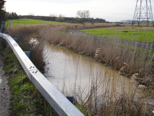
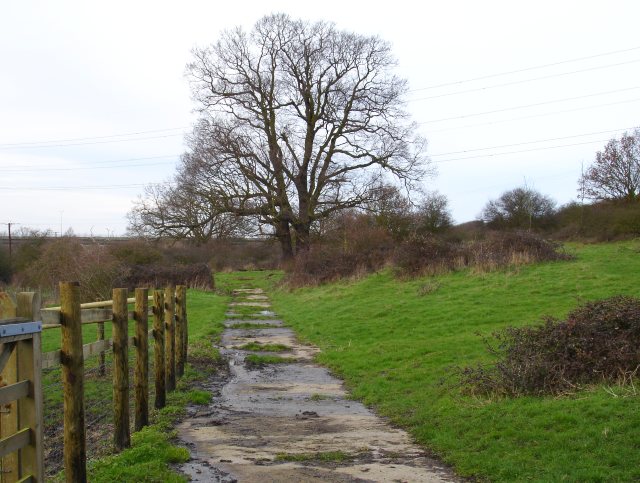
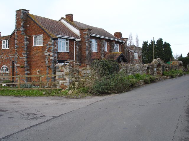
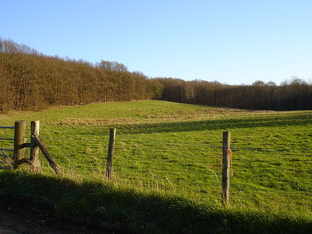
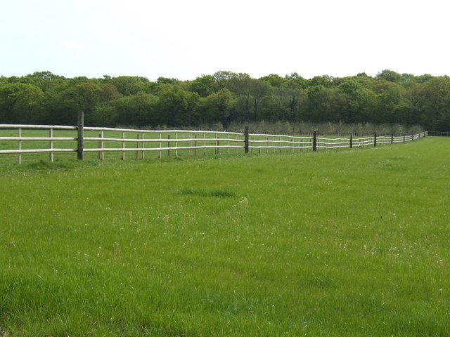
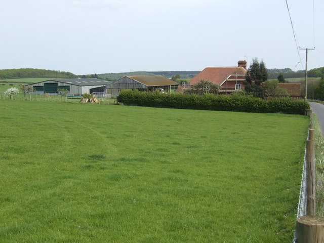
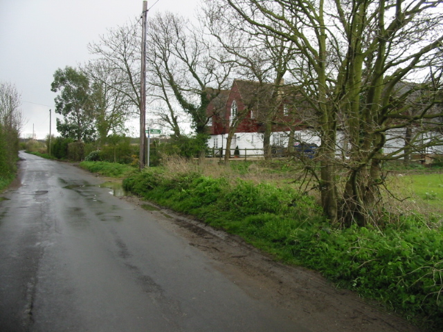
Ellenden Wood is a picturesque woodland located in the county of Kent, England. Covering an area of approximately 360 acres, it is a popular destination for nature lovers, hikers, and wildlife enthusiasts.

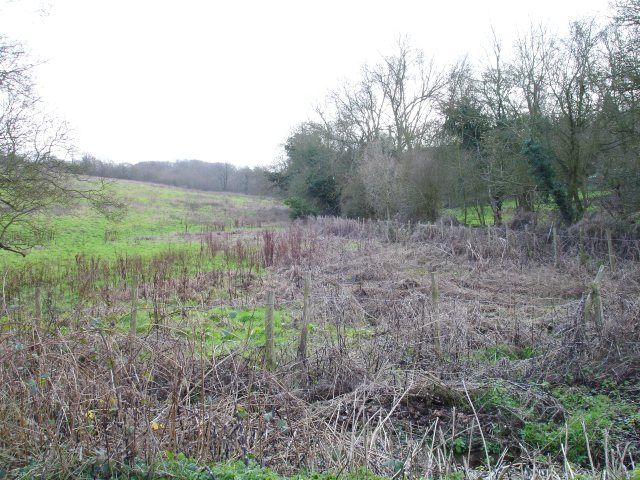
The woodland is characterized by its dense canopy of trees, predominantly consisting of oak, beech, and sweet chestnut. These towering trees provide a haven for a wide variety of flora and fauna, making Ellenden Wood a biodiversity hotspot. Bluebells carpet the forest floor in spring, creating a stunning display of color and fragrance.

Tranquil walking trails meander through the wood, allowing visitors to explore its beauty at their own pace. These well-maintained paths offer opportunities to spot wildlife such as deer, foxes, badgers, and a plethora of bird species. Nature enthusiasts can also observe a diverse range of insects, including butterflies and dragonflies.

Ellenden Wood has a rich history, dating back to medieval times when it was part of the Ashdown Forest. The woodland has been managed by the Forestry Commission since the early 20th century, ensuring its preservation and conservation for future generations to enjoy.

Visitors to Ellenden Wood can take advantage of the picnic areas and benches scattered throughout the forest, providing the perfect spot to relax and soak in the tranquil surroundings. The wood is also a popular location for photography, with its enchanting scenery offering countless opportunities for capturing stunning images.

Overall, Ellenden Wood in Kent is a haven of natural beauty, offering visitors a peaceful escape from the hustle and bustle of everyday life. Its diverse ecosystem, scenic trails, and rich history make it an ideal destination for nature lovers and outdoor enthusiasts.

If you have any feedback on the listing, please let us know in the comments section below.

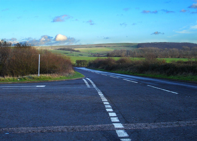
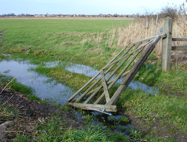
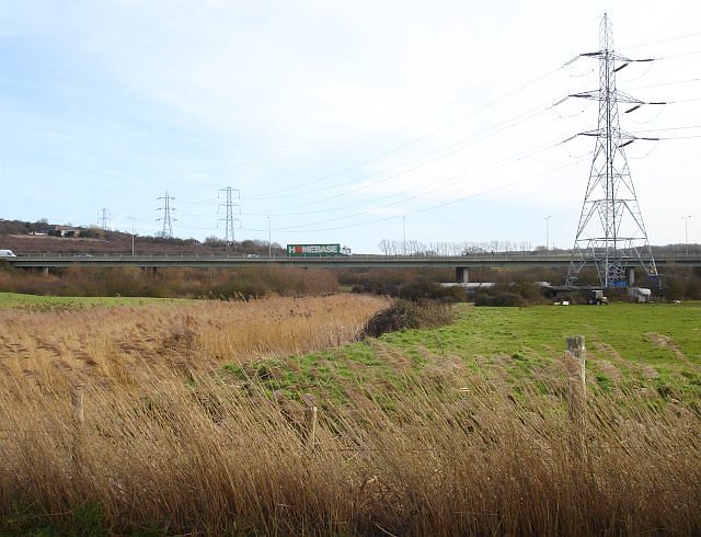
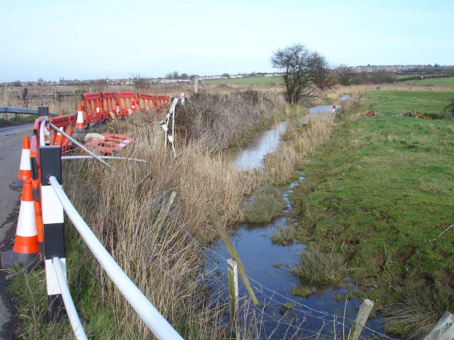
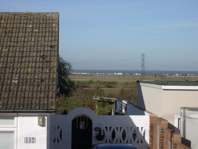
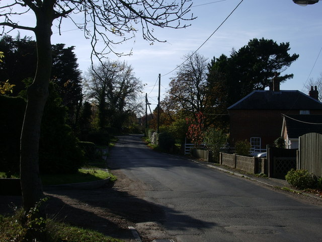
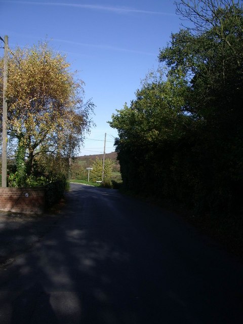
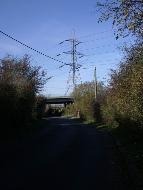
Ellenden Wood Images

Images are sourced within 2km of 51.322075/1.0153753 or Grid Reference TR1062. Thanks to Geograph Open Source API. All images are credited.

New road from Plumpudding Lane Local lanes which used to make dangerous junctions with the A299 Thanet Way now cross it via bridges with a complex network of slip roads. Plumpudding Lane, just visible, runs from the hamlet of Highstreet to Dargate but if you want to get to either place from Waterham you must use this road. Clay Hill in the background.
New road from Plumpudding Lane
Local lanes which used to make dangerous junctions with the A299 Thanet Way now cross it via bridges with a complex network of slip roads. Plumpudding Lane, just visible, runs from the hamlet of Highstreet to Dargate but if you want to get to either place from Waterham you must use this road. Clay Hill in the background.
Broken gate Beside Seasalter Lane
Broken gate
Beside Seasalter Lane
Thanet Way viaduct The A299 Thanet Way crosses the edge of Seasalter Levels near Yorkletts.
Thanet Way viaduct
The A299 Thanet Way crosses the edge of Seasalter Levels near Yorkletts.
Sharp bend on Seasalter Lane Seasalter Lane makes a tight loop to the west after running virtually due south from <a href="https://www.geograph.org.uk/photo/145412">TR0964 : Seasalter Cross</a>. At this point it crosses a culverted drain and, unusually, a vehicle seems to have left the road on the inside of the bend, taking much of the old concrete post and steel pipe 'crash barrier' with it.
Sharp bend on Seasalter Lane
Seasalter Lane makes a tight loop to the west after running virtually due south from TR0964 : Seasalter Cross. At this point it crosses a culverted drain and, unusually, a vehicle seems to have left the road on the inside of the bend, taking much of the old concrete post and steel pipe 'crash barrier' with it.
Drain by Seasalter Lane
Fox's Cross Bottom A sign on the gate indicates this is part of Wraik Hill Nature Reserve "A place for people and wildlife. The fields and hedgerows at Wraik Hill are a haven for wildlife. In winter, woodcock feed on the wet grassland and fieldfares feast on thorn berries. In summer, nightingales nest in the dense scrub and on sunny days the air is full of the songs of crickets and grass-hoppers, including the scarce Roesel's bush cricket... Look out for plants like pepper saxifrage, grass vetchling and spiny restharrow which grow only on grassland that has not been 'improved' with chemicals". 
The gate was firmly padlocked.
Fox's Cross Bottom
A sign on the gate indicates this is part of Wraik Hill Nature Reserve "A place for people and wildlife. The fields and hedgerows at Wraik Hill are a haven for wildlife. In winter, woodcock feed on the wet grassland and fieldfares feast on thorn berries. In summer, nightingales nest in the dense scrub and on sunny days the air is full of the songs of crickets and grass-hoppers, including the scarce Roesel's bush cricket... Look out for plants like pepper saxifrage, grass vetchling and spiny restharrow which grow only on grassland that has not been 'improved' with chemicals". The gate was firmly padlocked.
Fox's Cross Bottom Rough pasture south of Fox's Cross Hill.
Fox's Cross Bottom
Rough pasture south of Fox's Cross Hill.
Elysian Fields On Wraik Hill
Elysian Fields
On Wraik Hill
Windy Ridge This guest house on Wraik Hill has an extraordinary stone wall on its road frontage, incorporating several arches. The house also has stone cornices. Their website says "...originally a pair of farm cottages, the house was rebuilt and extended using reclaimed timber and stone to create an unusual building of unique character."
Windy Ridge
This guest house on Wraik Hill has an extraordinary stone wall on its road frontage, incorporating several arches. The house also has stone cornices. Their website says "...originally a pair of farm cottages, the house was rebuilt and extended using reclaimed timber and stone to create an unusual building of unique character."
Eastern end of the Blean This squared off clearing on the edge of the wood was plainly cleared many years ago as it shows on the 1940s OS map. It is east of the hamlet of Dargate and seen from the Dargate Road.
Eastern end of the Blean
This squared off clearing on the edge of the wood was plainly cleared many years ago as it shows on the 1940s OS map. It is east of the hamlet of Dargate and seen from the Dargate Road.
Pasture and woodland The northern edge of North Bishopden Wood. More ex-orchard land, see <a href="https://www.geograph.org.uk/photo/413307">TR0657 : Paddocks where there used to be orchards</a>.
Pasture and woodland
The northern edge of North Bishopden Wood. More ex-orchard land, see TR0657 : Paddocks where there used to be orchards.
Denstroude Farm In the part of Kent known as The Blean; an area of pasture and woodland between Canterbury and the north coast.
Denstroude Farm
In the part of Kent known as The Blean; an area of pasture and woodland between Canterbury and the north coast.
Yorkletts, looking across to Seasalter This is the view seen by the residents of the bungalows that line the lane at Yorkletts.
Yorkletts, looking across to Seasalter
This is the view seen by the residents of the bungalows that line the lane at Yorkletts.
Dargate Road, Yorkletts Looking towards Highstreet.
Dargate Road, Yorkletts
Looking towards Highstreet.
Dargate Road looking towards Fox's Cross Hill
Approaching the Thanet Way underpass at Yorkletts
Dargate Road under the Thanet Way The A299 is otherwise known as The Thanet Way.
Dargate Road under the Thanet Way
The A299 is otherwise known as The Thanet Way.
Pylons off Seasalter Lane
Show me another place!

Ellenden Wood is located at Grid Ref: TR1062 (Lat: 51.322075, Lng: 1.0153753)

Administrative County: Kent

District: Canterbury

Police Authority: Kent

What 3 Words

///calls.scoping.abruptly. Near Blean, Kent

Related Wikis

Ellenden Wood

Ellenden Wood is a 90.6-hectare (224-acre) biological Site of Special Scientific Interest south of Whitstable in Kent. It is a Nature Conservation Review...

Denstroude

Denstroude is a dispersed hamlet located to the west of the A290 road north of Canterbury in Kent, England. It is a collection of houses and farms, one...

Duncan Down

Duncan Down is an open, public, area to the south west of Whitstable and is the largest village green in the United Kingdom. It is a 21 hectare (52 acre...

Yorkletts

Yorkletts is a settlement two miles south of Whitstable in Kent in South East England. At the 2011 Census the settlement was included in the Seasalter...

Foxes Cross Bottom

Foxes Cross Bottom is a 4-hectare (9.9-acre) Local Nature Reserve north-west of Whitstable in Kent. It is owned and managed by Canterbury City Council...

Honey Hill, Kent

Honey Hill is a hamlet on the A290 road, near the village of Blean, in the Canterbury district, in the English county of Kent.

Church Woods, Blean

Church Woods, Blean is a 526.7-hectare (1,302-acre) biological Site of Special Scientific Interest north-west of Canterbury in Kent. It is a Nature Conservation...

Seasalter Levels

Seasalter Levels is a 71.4-hectare (176-acre) Local Nature Reserve in Seasalter, on the western outskirts of Whitstable in Kent. It is owned and managed...

Nearby Amenities

Located within 500m of 51.322075,1.0153753
The data included in this document is from www.openstreetmap.org. The data is made available under ODbL.

Have you been to Ellenden Wood?

Leave your review of Ellenden Wood below (or comments, questions and feedback).