Great Plantation
Wood, Forest in Suffolk Mid Suffolk
England
Great Plantation
Great Plantation, Suffolk (Wood, Forest) is a stunning natural reserve located in Suffolk, England. Spanning an expansive area, it is renowned for its diverse flora and fauna, making it a popular destination for nature enthusiasts and researchers alike.
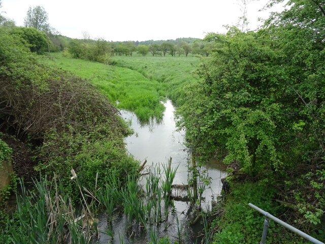
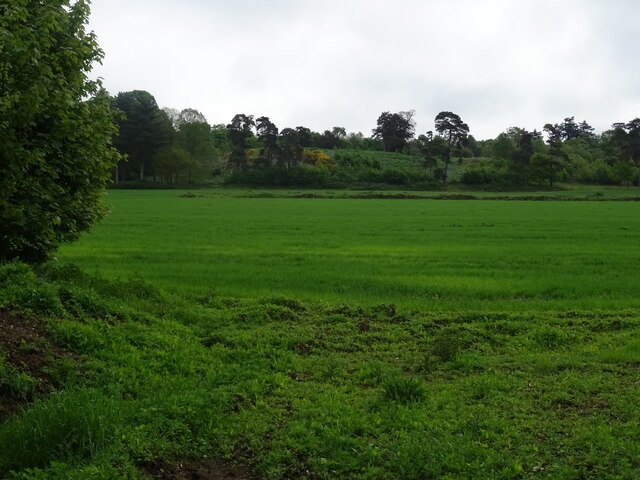
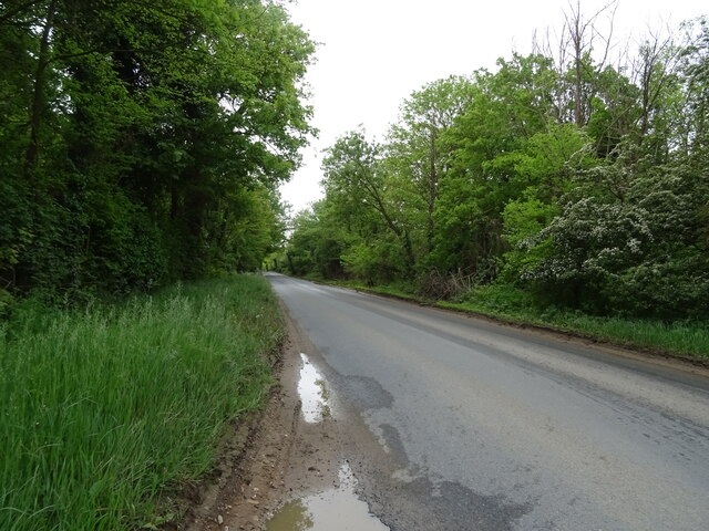
The plantation is characterized by its dense woodland, consisting primarily of deciduous trees such as oak, beech, and birch. These majestic trees create a serene and picturesque atmosphere, providing a peaceful retreat for visitors. The forest floor is adorned with a rich carpet of ferns, mosses, and wildflowers, adding to its enchanting beauty.
Wildlife thrives within the Great Plantation, with various species calling it home. Birdwatchers flock to this area to catch glimpses of rare and migratory birds, including woodpeckers, nightingales, and owls. Additionally, the plantation is home to small mammals like deer, foxes, squirrels, and hedgehogs, which can often be spotted during a leisurely walk through the forest trails.
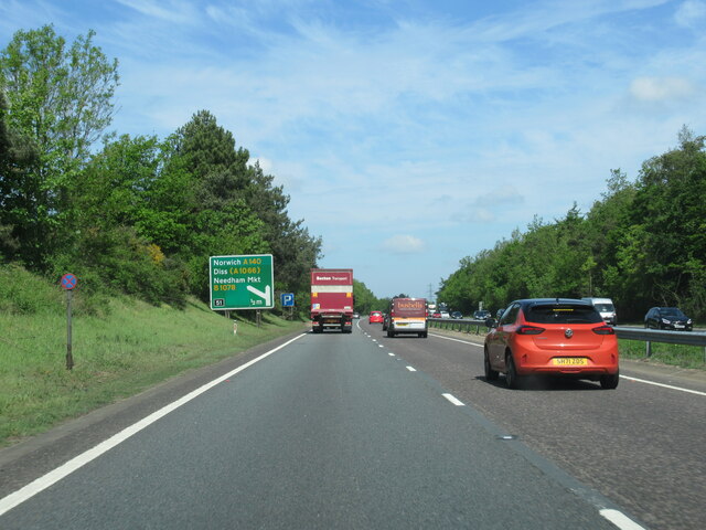
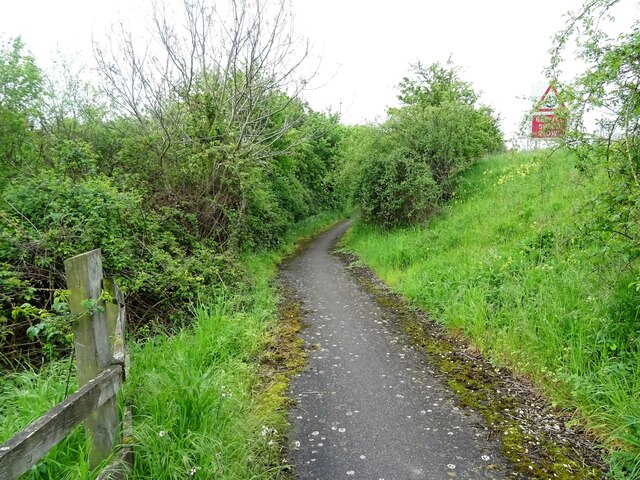
Visitors can explore the plantation's numerous walking paths and trails, allowing them to immerse themselves in the natural wonders around them. The woodland trails meander through the forest, providing opportunities to discover hidden ponds, babbling brooks, and ancient trees. These paths are well-maintained, making them accessible to people of all ages and fitness levels.
Great Plantation, Suffolk (Wood, Forest) offers a tranquil and captivating experience for anyone seeking solace in nature. Its breathtaking scenery, diverse ecosystem, and abundance of wildlife make it a must-visit destination for those looking to reconnect with the natural world.
If you have any feedback on the listing, please let us know in the comments section below.
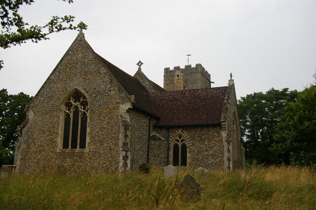
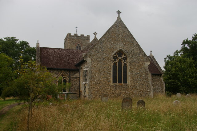
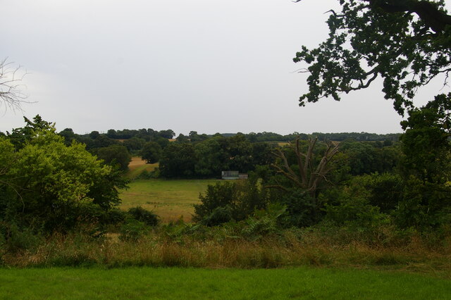
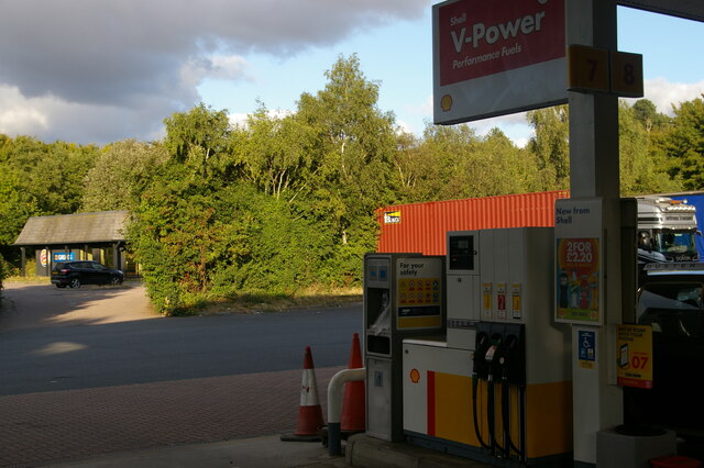
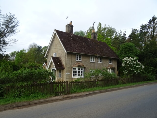
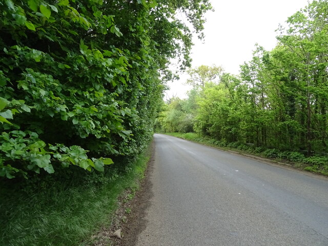
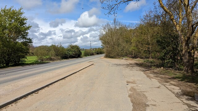
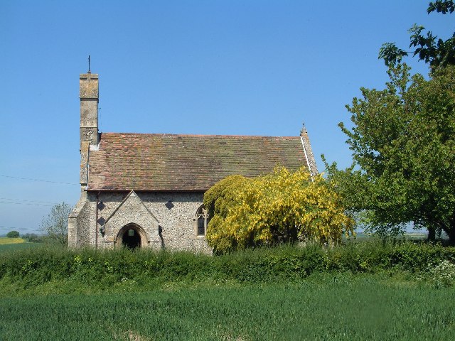
Great Plantation Images
Images are sourced within 2km of 52.13831/1.0703307 or Grid Reference TM1053. Thanks to Geograph Open Source API. All images are credited.


Great Plantation is located at Grid Ref: TM1053 (Lat: 52.13831, Lng: 1.0703307)
Administrative County: Suffolk
District: Mid Suffolk
Police Authority: Suffolk
What 3 Words
///narrowest.keyboards.wiser. Near Needham Market, Suffolk
Nearby Locations
Related Wikis
Darmsden
Darmsden is a hamlet and civil parish in the Mid Suffolk district of Suffolk, England. Located near the A14 road around 2 kilometres (1 mi) south of the...

Baylham
Baylham is a village and civil parish, 1,349 acres size, in the Mid Suffolk district of Suffolk, England, about 7 miles (11 km) northwest of Ipswich and...

Needham Lake
Needham Lake is a 9.9 hectare Local Nature Reserve in Needham Market in Suffolk. It is owned and managed by Mid Suffolk District Council. It is a Regionally...

Needham Market railway station
Needham Market railway station is on the Great Eastern Main Line (GEML) in the East of England, serving the town of Needham Market, Suffolk. It is 77 miles...

Needham Market
Needham Market is a town in the Mid Suffolk district of Suffolk, England. Nearby villages include Barking, Darmsden, Badley and Creeting St Mary. The town...
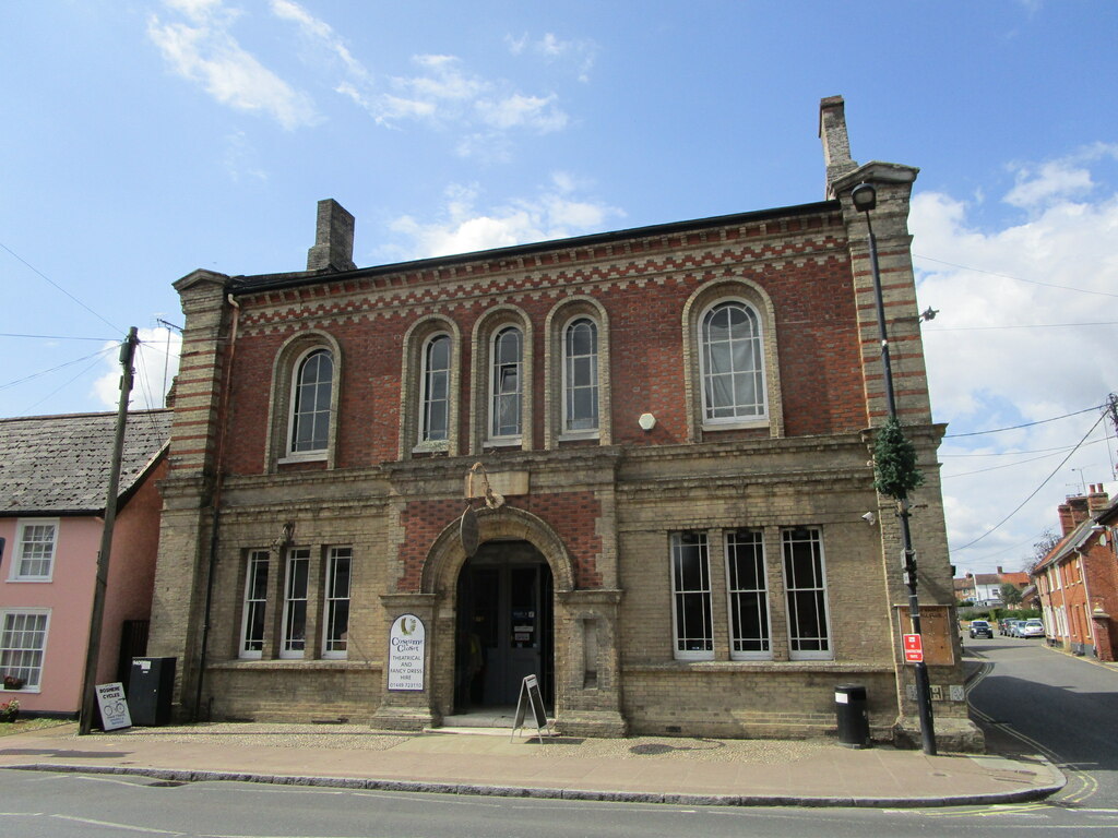
Old Town Hall, Needham Market
The Old Town Hall is a municipal building in the High Street in Needham Market, Suffolk, England. The building, which now accommodates an antiques centre...
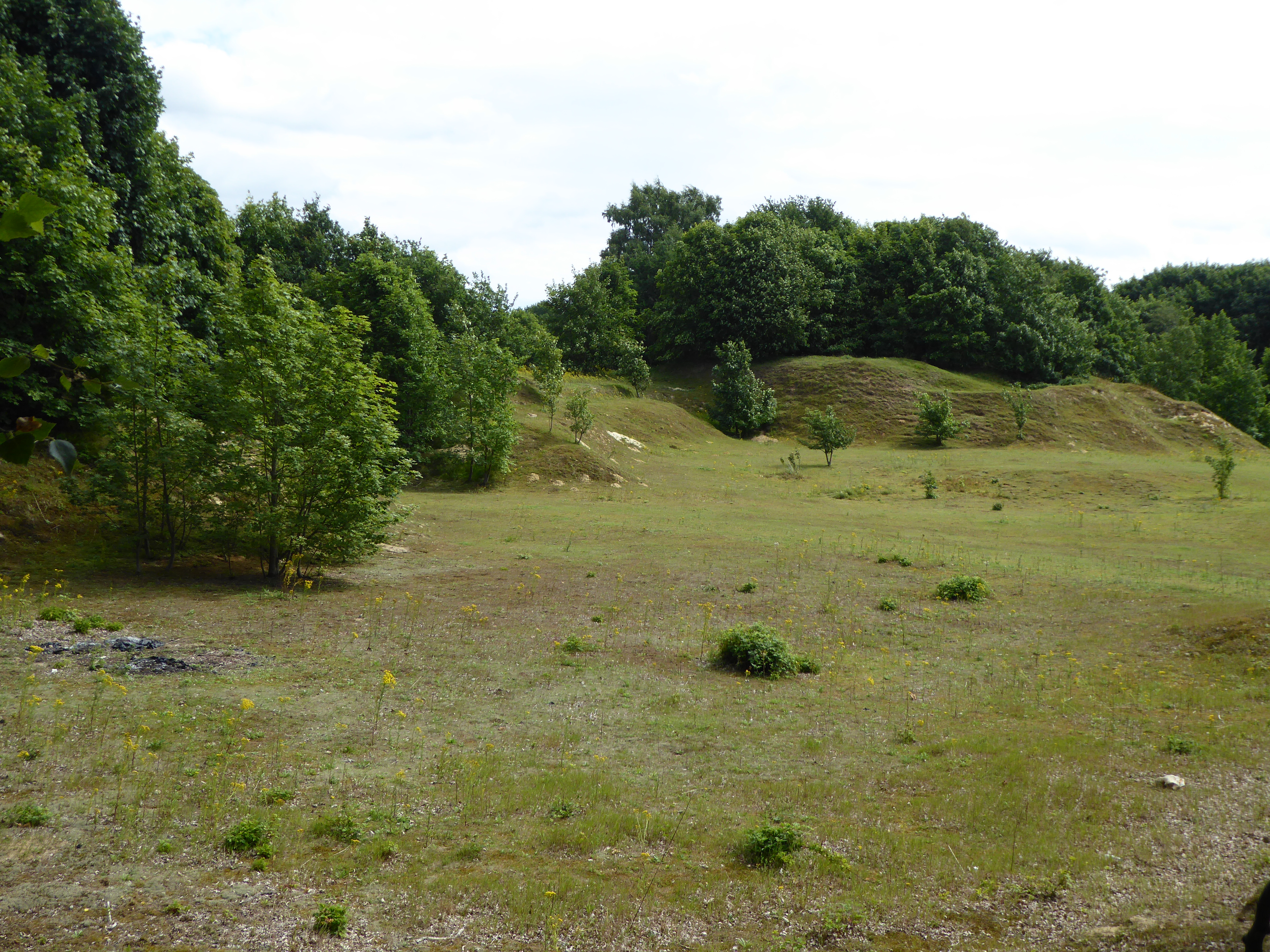
Creeting St Mary Pits
Creeting St Mary Pits is a 5.4-hectare (13-acre) geological Site of Special Scientific Interest south Creeting St Mary in Suffolk, England. It is a Geological...

Creeting St Mary Windmill
Creeting St Mary Windmill is a Grade II listed dovecote at Creeting St Mary, Suffolk, England which has been restored. It was originally the body of a...
Nearby Amenities
Located within 500m of 52.13831,1.0703307Have you been to Great Plantation?
Leave your review of Great Plantation below (or comments, questions and feedback).