Holly Wood

Wood, Forest in Suffolk Babergh

England

Holly Wood

Esso Service Station on A12 north near Capel St Mary
Esso Service Station on A12 north near Capel St Mary Credit: Roy Hughes

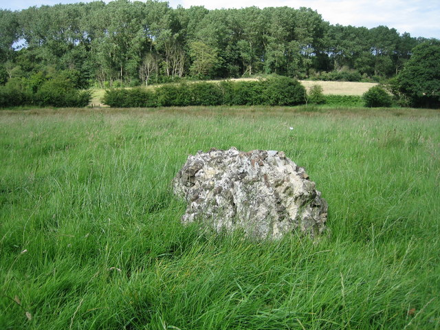
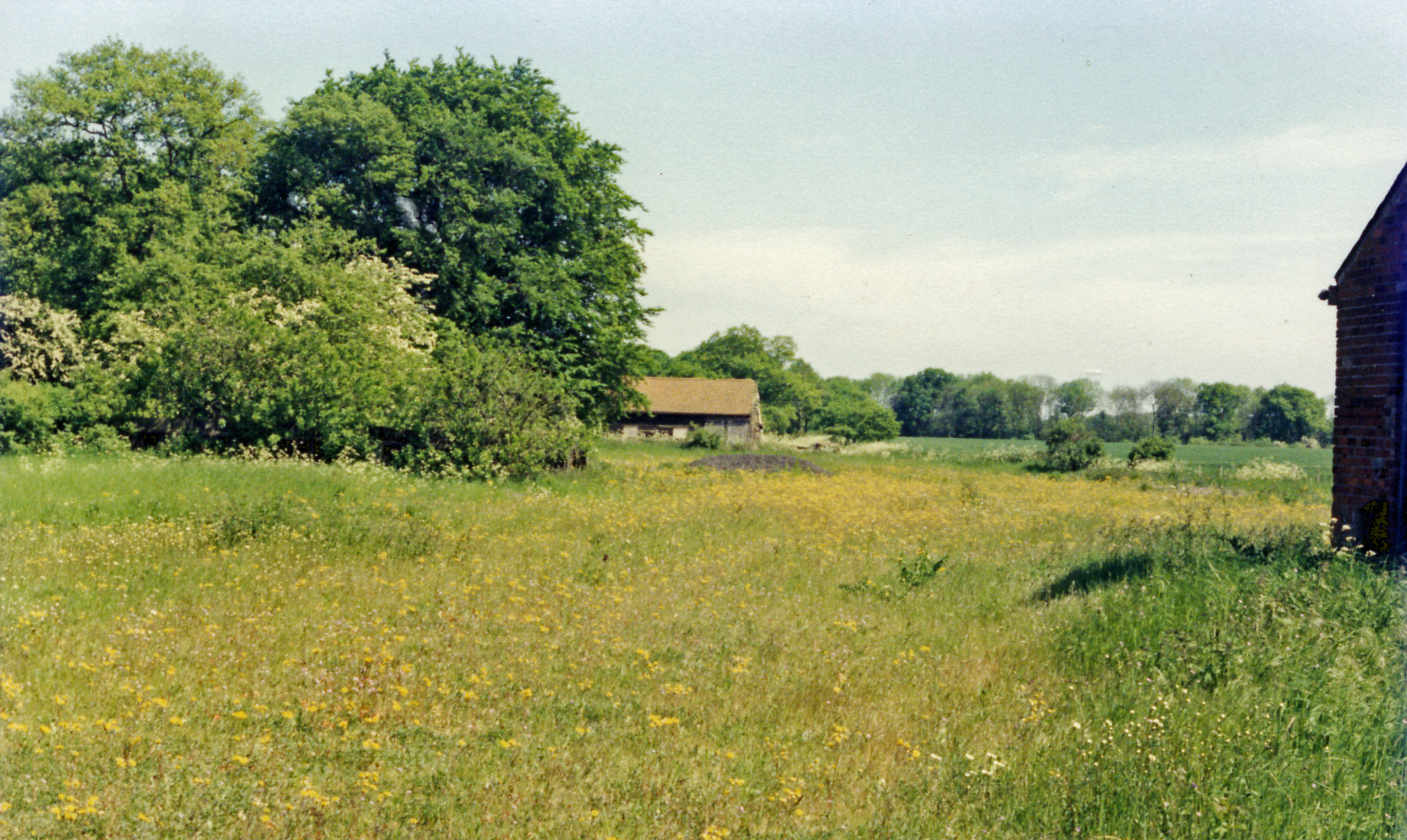
Holly Wood is a small woodland area located in Suffolk, England. Situated near the village of Woodbridge, it covers an area of approximately 10 acres. The woodland is primarily composed of holly trees, hence its name, and is known for its picturesque beauty and serene atmosphere.

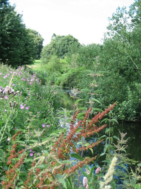
The forest floor is covered in a thick layer of leaf litter, creating a soft and cushioned ground. The holly trees, with their glossy dark green leaves and vibrant red berries, provide a stunning backdrop throughout the year. In the spring, the woodland comes alive with a burst of color as wildflowers bloom, adding to its charm.

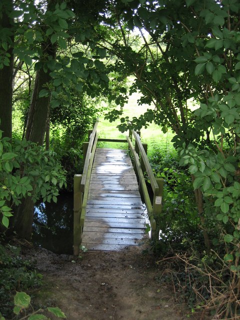
Holly Wood is a popular spot for nature enthusiasts and walkers, who enjoy exploring its winding trails and discovering the diverse range of flora and fauna that call the woodland home. The area is home to a variety of bird species, including woodpeckers and owls, making it a haven for birdwatchers.

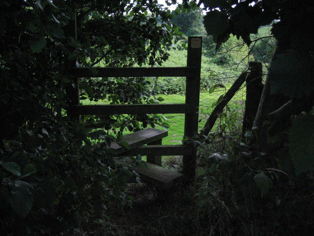
The woodland is well-maintained, with clearly marked paths and occasional benches for visitors to rest and soak in the peaceful surroundings. The management of Holly Wood ensures the preservation of its natural beauty while allowing visitors to enjoy its tranquility.

Overall, Holly Wood is a hidden gem in Suffolk, offering a peaceful retreat from the hustle and bustle of everyday life. Its enchanting holly trees, vibrant wildflowers, and abundant wildlife make it a delightful destination for nature lovers and those seeking solace in the heart of the Suffolk countryside.

If you have any feedback on the listing, please let us know in the comments section below.

Holly Wood Images

Images are sourced within 2km of 51.989329/1.0595985 or Grid Reference TM1036. Thanks to Geograph Open Source API. All images are credited.

Esso Service Station on A12 north near Capel St Mary
Jet garage on A12 north at Capel St Mary
The A12, Capel St Mary I've been here before. <a title="https://www.geograph.org.uk/photo/5377066" href="https://www.geograph.org.uk/photo/5377066">Link</a>
The A12, Capel St Mary
I've been here before. Link
The A12, Capel St Mary
The Case is Altered, Public House, Bentley,  Suffolk When the post office in Bentley closed, a Post Office was opened here.
The Case is Altered, Public House, Bentley, Suffolk
When the post office in Bentley closed, a Post Office was opened here.
War Memorial at Bentley Suffolk Recently attended by pupils of the local Primary School Bentley.
War Memorial at Bentley Suffolk
Recently attended by pupils of the local Primary School Bentley.
Primary School Bentley Suffolk.
Windows of the Past. This work can be seen on the North Facing Wall of Bentley Primary School Suffolk.
Windows of the Past.
This work can be seen on the North Facing Wall of Bentley Primary School Suffolk.
Little Chef at Capel St Mary, Suffolk This is by a major junction on the A.12
Little Chef at Capel St Mary, Suffolk
This is by a major junction on the A.12
Bentley Road, Bentley, Suffolk This is the view driving away from Bentley towards Capel St Mary.
Bentley Road, Bentley, Suffolk
This is the view driving away from Bentley towards Capel St Mary.
Last Remains of Dodnash C12th Priory by footpath Beside the footpath from East End, East Bergholt to Dodnash Wood (seen in background), you pass the last remaining lump of stones from the twelfth century Augustinian Priory that existed on this spot.  Continue up the hill and through the wood for a rewarding ramble
Last Remains of Dodnash C12th Priory by footpath
Beside the footpath from East End, East Bergholt to Dodnash Wood (seen in background), you pass the last remaining lump of stones from the twelfth century Augustinian Priory that existed on this spot. Continue up the hill and through the wood for a rewarding ramble
Pond beside footpath from Bentley to Brantham Nettles, dock and thistles are among the wild plants surrounding this pond in a boggy area of the footpath south of Dodnash Priory Farm. Press on and the walk is rewarding!
Pond beside footpath from Bentley to Brantham
Nettles, dock and thistles are among the wild plants surrounding this pond in a boggy area of the footpath south of Dodnash Priory Farm. Press on and the walk is rewarding!
Half-hidden stile near Dodnash Priory Farm Heading south from Bentley to Brantham (Gravel Pit Lane) you might miss this stile (as I did) as it is deep in a thriving alder hedge. After passing Dodnash Priory Farm on your right keep an eye on the hedge. The stile leads to a path down a steepish slope into a small valley and later a bridge over Dodnash Brook
Half-hidden stile near Dodnash Priory Farm
Heading south from Bentley to Brantham (Gravel Pit Lane) you might miss this stile (as I did) as it is deep in a thriving alder hedge. After passing Dodnash Priory Farm on your right keep an eye on the hedge. The stile leads to a path down a steepish slope into a small valley and later a bridge over Dodnash Brook
Footbridge over Dodnash Brook towards East End Coming south from Bentley and passing across the marsh where there are remains of Dodnash Priory, you cross this bridge before going up the footpath to the top of the next field
Footbridge over Dodnash Brook towards East End
Coming south from Bentley and passing across the marsh where there are remains of Dodnash Priory, you cross this bridge before going up the footpath to the top of the next field
Weight limit on weak bridge between East End & Bentley Even rural road signs are not safe from graffiti!  This sign warns drivers going north towards Bentley from East End, East Bergholt that they had better weigh no more than 8 tonnes.  The road is narrow too! Downstream from this bridge are two footbridges (at least) over Dodnash Brook - one in this square and one in TM1135, to the east.
Weight limit on weak bridge between East End & Bentley
Even rural road signs are not safe from graffiti! This sign warns drivers going north towards Bentley from East End, East Bergholt that they had better weigh no more than 8 tonnes. The road is narrow too! Downstream from this bridge are two footbridges (at least) over Dodnash Brook - one in this square and one in TM1135, to the east.
Footbridge and stile over Dodnash Brook near Brantham Going south from Bentley to Brantham, the footpath passes through a boggy and overgrown section south of Dodnash Priory Farm until it reaches this bridge and stile.  Beyond there is an open meadow before the path climbs up again past woodland
Footbridge and stile over Dodnash Brook near Brantham
Going south from Bentley to Brantham, the footpath passes through a boggy and overgrown section south of Dodnash Priory Farm until it reaches this bridge and stile. Beyond there is an open meadow before the path climbs up again past woodland
Footpath fork: left to Dodnash Wood, right to East End Coming from Bentley on the road towards East End, East Bergholt, you cross Dodnash Brook and climb the hill to a sharp right turn. At that point you can take a footpath right to East End or turn back left and go to the south side of Dodnash Wood
Footpath fork: left to Dodnash Wood, right to East End
Coming from Bentley on the road towards East End, East Bergholt, you cross Dodnash Brook and climb the hill to a sharp right turn. At that point you can take a footpath right to East End or turn back left and go to the south side of Dodnash Wood
Bentley (Suffolk) Station View northward, towards Ipswich etc., also Hadleigh; London - Colchester - Ipswich - Norwich etc. main line, junction for Hadleigh.  Station closed 7/11/66; Hadleigh branch closed to passengers 29/2/32, goods 19/4/65. (Up express for London (Liverpool St.) passing, headed by a Class 37 Diesel.)
Bentley (Suffolk) Station
View northward, towards Ipswich etc., also Hadleigh; London - Colchester - Ipswich - Norwich etc. main line, junction for Hadleigh. Station closed 7/11/66; Hadleigh branch closed to passengers 29/2/32, goods 19/4/65. (Up express for London (Liverpool St.) passing, headed by a Class 37 Diesel.)
Show me another place!

Holly Wood is located at Grid Ref: TM1036 (Lat: 51.989329, Lng: 1.0595985)

Administrative County: Suffolk

District: Babergh

Police Authority: Suffolk

What 3 Words

///career.paddlers.embellish. Near Capel St Mary, Suffolk

Related Wikis

Samford Rural District

Samford Rural District was a rural district within the administrative county of East Suffolk between 1894 and 1974. It was created out of the earlier Samford...

Bentley, Suffolk

Bentley is a village and civil parish in the Babergh district of Suffolk, England, about 6 miles (10 km) southwest of Ipswich. The 2011 Census recorded...

Dodnash Priory

Dodnash Priory was a small Augustinian priory located in Bentley, Suffolk, England, near the village's boundary with East Bergholt. It was situated close...

Capel St. Mary

Capel St. Mary – commonly known as Capel – is a village in Suffolk, England. It is about 6 miles (10 km) south-west of Ipswich and 2 miles (3 km) from...

Bentley railway station (Suffolk)

Bentley railway station, also known as Bentley Junction between 1849 and 1878, was located in Bentley, Suffolk on the Great Eastern Main Line. It opened...

Capel railway station

Capel railway station was a station in Capel St Mary, Suffolk, on a short branch line from Bentley Junction to Hadleigh. The station buildings were remarkably...

Brantham

Brantham is a village and civil parish in the Babergh district of Suffolk, England. It is located close to the River Stour and the border with Essex, around...

East Bergholt High School

East Bergholt High School is a secondary school in East Bergholt, Suffolk, 11 miles (18 km) north of Colchester, Essex, and nine miles (14 km) south of...

Nearby Amenities

Located within 500m of 51.989329,1.0595985
Power: pole
Lat/Long: 51.9856235/1.0607011
Power: pole
Lat/Long: 51.9856582/1.0619617
Power: pole
Lat/Long: 51.9860761/1.0644803
Chimney stack
Access: no
Historic: ruins
Historic Civilization: modern
Ruins: house
Lat/Long: 51.9866128/1.0586564
Natural: spring
Lat/Long: 51.9909387/1.0602676
The data included in this document is from www.openstreetmap.org. The data is made available under ODbL.

Have you been to Holly Wood?

Leave your review of Holly Wood below (or comments, questions and feedback).