Edinburgh Belt

Wood, Forest in Suffolk Mid Suffolk

England

Edinburgh Belt

Church of St Andrew, Wickham Skeith <span class="nowrap"><a title="https://historicengland.org.uk/listing/the-list/list-entry/1352521?section=official-list-entry" rel="nofollow ugc noopener" href="https://historicengland.org.uk/listing/the-list/list-entry/1352521?section=official-list-entry">Link</a><img style="margin-left:2px;" alt="External link" title="External link - shift click to open in new window" src="https://s1.geograph.org.uk/img/external.png" width="10" height="10"/></span>
Church of St Andrew, Wickham Skeith Credit: Sandy Gerrard

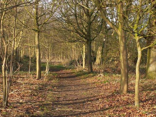
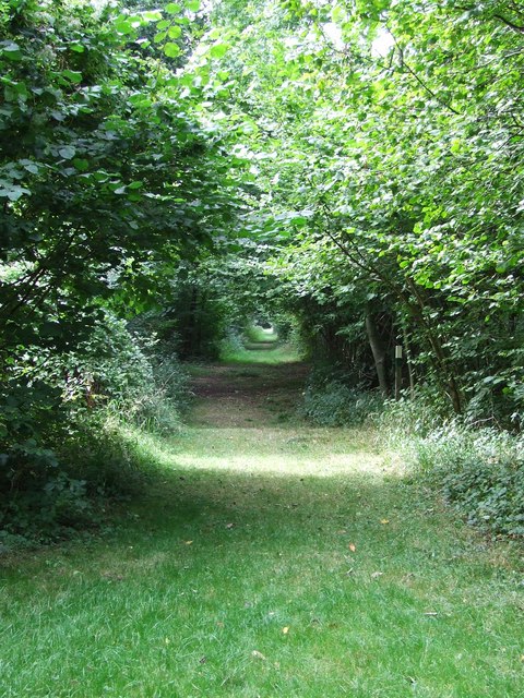
The Edinburgh Belt, located in Suffolk, England, is a picturesque woodland area known for its captivating beauty and serene atmosphere. Stretching across a vast expanse, this forest is a haven for nature enthusiasts and those seeking tranquility amidst the hustle and bustle of everyday life.

The woodland is composed of a diverse range of trees, including towering oaks, majestic beeches, and slender birches, creating a rich tapestry of colors throughout the seasons. The forest floor is adorned with an array of wildflowers and ferns, adding to its enchanting charm.

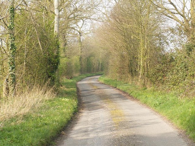
Within the Edinburgh Belt, there are several walking trails that wind their way through the woods, providing ample opportunities for exploration and discovery. As visitors meander along these paths, they may encounter various species of wildlife, such as deer, squirrels, and a myriad of bird species. The air is filled with the melodious songs of birds, creating a symphony of natural sounds.

The forest is also home to a diverse range of plant life, including rare and protected species. It serves as an important habitat for many animals and insects, contributing to the overall biodiversity of the region.

Moreover, the Edinburgh Belt offers a peaceful retreat for those seeking solitude or a place to unwind. The tranquil environment invites visitors to engage in activities such as birdwatching, photography, or simply finding solace in nature's embrace.

Overall, the Edinburgh Belt in Suffolk is a captivating woodland expanse that showcases the beauty of nature. It offers a sanctuary for both wildlife and humans alike, providing a much-needed escape from the pressures of modern life.

If you have any feedback on the listing, please let us know in the comments section below.

Edinburgh Belt Images

Images are sourced within 2km of 52.297464/1.0688218 or Grid Reference TM0971. Thanks to Geograph Open Source API. All images are credited.

Church of St Andrew, Wickham Skeith <span class="nowrap"><a title="https://historicengland.org.uk/listing/the-list/list-entry/1352521?section=official-list-entry" rel="nofollow ugc noopener" href="https://historicengland.org.uk/listing/the-list/list-entry/1352521?section=official-list-entry">Link</a><img style="margin-left:2px;" alt="External link" title="External link - shift click to open in new window" src="https://s1.geograph.org.uk/img/external.png" width="10" height="10"/></span>
Church of St Andrew, Wickham Skeith
Rood Loft Stair at Church of St Andrew, Wickham Skeith <span class="nowrap"><a title="https://historicengland.org.uk/listing/the-list/list-entry/1352521?section=official-list-entry" rel="nofollow ugc noopener" href="https://historicengland.org.uk/listing/the-list/list-entry/1352521?section=official-list-entry">Link</a><img style="margin-left:2px;" alt="External link" title="External link - shift click to open in new window" src="https://s1.geograph.org.uk/img/external.png" width="10" height="10"/></span>
Rood Loft Stair at Church of St Andrew, Wickham Skeith
Font at Church of St Andrew, Wickham Skeith <span class="nowrap"><a title="https://historicengland.org.uk/listing/the-list/list-entry/1352521?section=official-list-entry" rel="nofollow ugc noopener" href="https://historicengland.org.uk/listing/the-list/list-entry/1352521?section=official-list-entry">Link</a><img style="margin-left:2px;" alt="External link" title="External link - shift click to open in new window" src="https://s1.geograph.org.uk/img/external.png" width="10" height="10"/></span>
Font at Church of St Andrew, Wickham Skeith
Doorway at Church of St Andrew, Wickham Skeith <span class="nowrap"><a title="https://historicengland.org.uk/listing/the-list/list-entry/1352521?section=official-list-entry" rel="nofollow ugc noopener" href="https://historicengland.org.uk/listing/the-list/list-entry/1352521?section=official-list-entry">Link</a><img style="margin-left:2px;" alt="External link" title="External link - shift click to open in new window" src="https://s1.geograph.org.uk/img/external.png" width="10" height="10"/></span>
Doorway at Church of St Andrew, Wickham Skeith
Footpath from Thornham Magna to Wickham Skeith
Blue Skies And Green Grass Country view photo taken east of Wickham Skeith Suffolk.
Blue Skies And Green Grass
Country view photo taken east of Wickham Skeith Suffolk.
Footpath to Wickham Skeith This public footpath follows a track and links Colsey Wood with Wickham Skeith. The trees seen in the background surround St Andrew's church, a dry ford can be seen in the foreground.
Footpath to Wickham Skeith
This public footpath follows a track and links Colsey Wood with Wickham Skeith. The trees seen in the background surround St Andrew's church, a dry ford can be seen in the foreground.
Wickham Skeith church
Railway Bridge This brick railway bridge carries the Norwich to London main line and it blends well into the surrounding wooded countryside between Gislinham and Thornham Magna.
Railway Bridge
This brick railway bridge carries the Norwich to London main line and it blends well into the surrounding wooded countryside between Gislinham and Thornham Magna.
St Mary's Church, Gislingham St Mary's Church Gislingham showing the distinctive red brick tower added in 1639. This replaced the original tower which collapsed in 1598.
St Mary's Church, Gislingham
St Mary's Church Gislingham showing the distinctive red brick tower added in 1639. This replaced the original tower which collapsed in 1598.
Path on the Thornham Estate Thornham Estate is a beautiful place to walk and is open to the public each day. There are 12 miles of footpaths through ancient parkland, woodland, farmland and water meadows.
Path on the Thornham Estate
Thornham Estate is a beautiful place to walk and is open to the public each day. There are 12 miles of footpaths through ancient parkland, woodland, farmland and water meadows.
Redhouse Farm, Gislingham Bales of hay stacked high outside the farm buildings, viewed from the minor road between Finningham and Gislingham.
Redhouse Farm, Gislingham
Bales of hay stacked high outside the farm buildings, viewed from the minor road between Finningham and Gislingham.
St Mary's Church, Gislingham The distinctive red tower, viewed in evening light.
St Mary's Church, Gislingham
The distinctive red tower, viewed in evening light.
Footpath to Wickham Green This path leads south-east from the minor road between Finningham and Wickham Skeith.
Footpath to Wickham Green
This path leads south-east from the minor road between Finningham and Wickham Skeith.
Harry Potter's Wife's Grave The grave of Emma Potter the late wife of Harry Potter in the churchyard at Wickham Skeith, Suffolk.
Harry Potter's Wife's Grave
The grave of Emma Potter the late wife of Harry Potter in the churchyard at Wickham Skeith, Suffolk.
Star House Lane
Star House Lane
To Dormans Wood Footpath to Dormans Wood from Clay Street near to Wickham Street Suffolk.
To Dormans Wood
Footpath to Dormans Wood from Clay Street near to Wickham Street Suffolk.
Through the trees A view along the many miles of walks at Thornham walks Thornham Parva Suffolk.
Through the trees
A view along the many miles of walks at Thornham walks Thornham Parva Suffolk.
Show me another place!

Edinburgh Belt is located at Grid Ref: TM0971 (Lat: 52.297464, Lng: 1.0688218)

Administrative County: Suffolk

District: Mid Suffolk

Police Authority: Suffolk

What 3 Words

///hospitals.asserts.pits. Near Bacton, Suffolk

Related Wikis

Hartismere Hundred

Hartismere was a hundred of Suffolk, that later gave its name to a poor law union, a rural sanitary district, and the Hartismere Rural District. Listed...

Thornham Magna

Thornham Magna is the larger sister village of Thornham Parva on the former estate of Thornham Hall, the Henniker family seat, in Suffolk. It is about...

Gislingham

Gislingham is a village and civil parish in the Mid Suffolk district of Suffolk in eastern England. == History == Gislingham is situated around the area...

Wickham Skeith

Wickham Skeith is a village and civil parish in Suffolk, England, about 5 miles to the west of Eye and about 3 miles east of Finningham. == History... ==

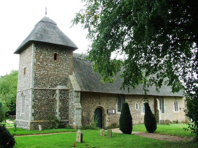
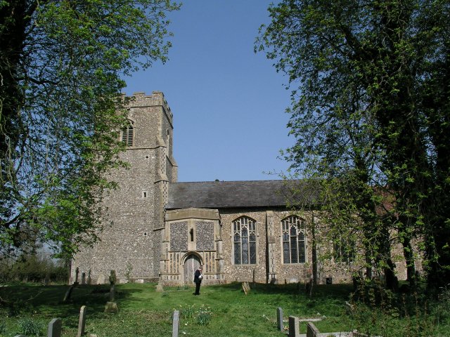
St Mary's Church, Thornham Parva

St Mary's Church is a medieval church in Thornham Parva, Suffolk, England. Much of the fabric dates from the 12th century, and it is a Grade I listed building...

Thornham Parva

Thornham Parva is a village and civil parish in the Mid Suffolk district of Suffolk in eastern England. Located to the north of sister village Thornham...

Stoke Ash

Stoke Ash is a village and civil parish in the Mid Suffolk district of Suffolk in eastern England. Located around six miles south of Diss, in 2011 its...

Pye Road

Pye Road is a Roman road running from the capital of the Iceni at Venta Icenorum (Caistor St Edmund near Norwich) to the original Roman provincial capital...

Have you been to Edinburgh Belt?

Leave your review of Edinburgh Belt below (or comments, questions and feedback).