Billingford Wood

Wood, Forest in Suffolk Mid Suffolk

England

Billingford Wood

Church of St Andrew, Wickham Skeith <span class="nowrap"><a title="https://historicengland.org.uk/listing/the-list/list-entry/1352521?section=official-list-entry" rel="nofollow ugc noopener" href="https://historicengland.org.uk/listing/the-list/list-entry/1352521?section=official-list-entry">Link</a><img style="margin-left:2px;" alt="External link" title="External link - shift click to open in new window" src="https://s1.geograph.org.uk/img/external.png" width="10" height="10"/></span>
Church of St Andrew, Wickham Skeith Credit: Sandy Gerrard

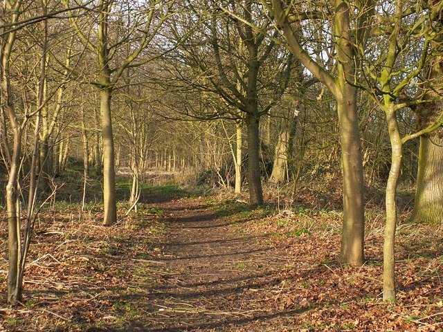
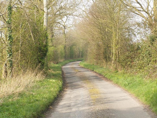
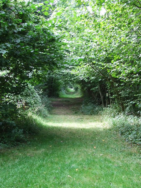
Billingford Wood is a picturesque woodland located in Suffolk, England. Situated near the village of Billingford, the wood covers an area of approximately 50 hectares (124 acres). This ancient woodland is a significant natural habitat and a popular destination for nature enthusiasts and walkers alike.

Comprising a mixture of broadleaf and coniferous trees, Billingford Wood provides a diverse ecosystem that supports a wide range of plant and animal species. The wood is home to various native trees such as oak, ash, beech, and birch, as well as conifers like Scots pine and Douglas fir. The forest floor is covered with a carpet of ferns, mosses, and wildflowers, adding to its natural beauty.

The wood offers a tranquil environment for visitors to enjoy nature and escape the hustle and bustle of daily life. A network of well-maintained trails and footpaths wind through the woodland, allowing visitors to explore its various sections. The paths offer opportunities for birdwatching, with species such as woodpeckers, owls, and songbirds making their homes within the wood. Small mammals like squirrels, rabbits, and badgers can also be spotted here.

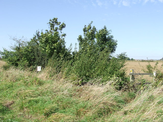
Billingford Wood is managed by local conservation organizations to preserve its natural heritage. Efforts are made to maintain the delicate balance of the ecosystem and protect the woodland from encroachment and disturbances. The wood is open to the public year-round, and visitors are encouraged to respect the natural environment by sticking to designated paths and avoiding any damage to the flora and fauna.

Overall, Billingford Wood is a delightful destination for nature lovers, offering a chance to immerse oneself in the serenity of a woodland setting while appreciating the beauty of Suffolk's natural landscape.

If you have any feedback on the listing, please let us know in the comments section below.

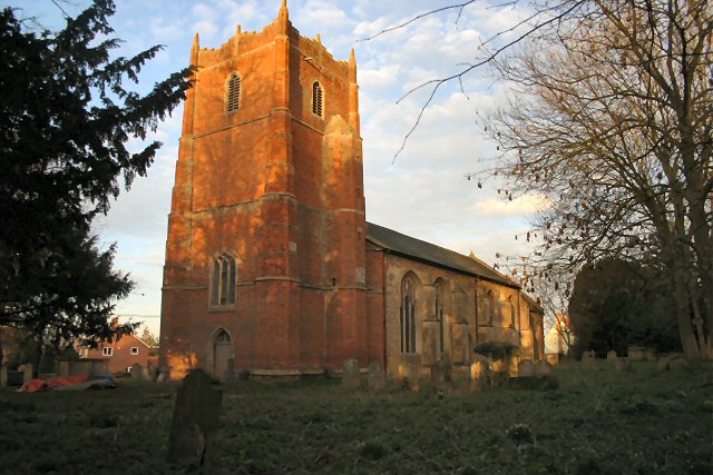
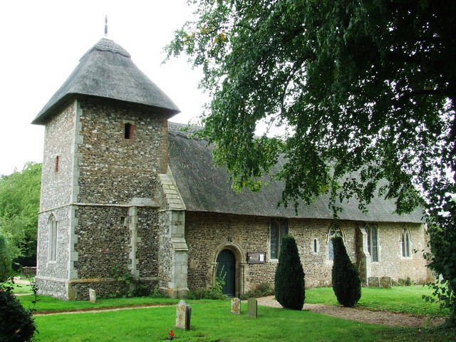
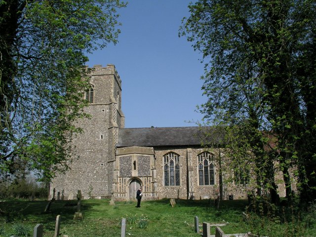
Billingford Wood Images

Images are sourced within 2km of 52.298226/1.0726885 or Grid Reference TM0971. Thanks to Geograph Open Source API. All images are credited.

Church of St Andrew, Wickham Skeith <span class="nowrap"><a title="https://historicengland.org.uk/listing/the-list/list-entry/1352521?section=official-list-entry" rel="nofollow ugc noopener" href="https://historicengland.org.uk/listing/the-list/list-entry/1352521?section=official-list-entry">Link</a><img style="margin-left:2px;" alt="External link" title="External link - shift click to open in new window" src="https://s1.geograph.org.uk/img/external.png" width="10" height="10"/></span>
Church of St Andrew, Wickham Skeith
Rood Loft Stair at Church of St Andrew, Wickham Skeith <span class="nowrap"><a title="https://historicengland.org.uk/listing/the-list/list-entry/1352521?section=official-list-entry" rel="nofollow ugc noopener" href="https://historicengland.org.uk/listing/the-list/list-entry/1352521?section=official-list-entry">Link</a><img style="margin-left:2px;" alt="External link" title="External link - shift click to open in new window" src="https://s1.geograph.org.uk/img/external.png" width="10" height="10"/></span>
Rood Loft Stair at Church of St Andrew, Wickham Skeith
Font at Church of St Andrew, Wickham Skeith <span class="nowrap"><a title="https://historicengland.org.uk/listing/the-list/list-entry/1352521?section=official-list-entry" rel="nofollow ugc noopener" href="https://historicengland.org.uk/listing/the-list/list-entry/1352521?section=official-list-entry">Link</a><img style="margin-left:2px;" alt="External link" title="External link - shift click to open in new window" src="https://s1.geograph.org.uk/img/external.png" width="10" height="10"/></span>
Font at Church of St Andrew, Wickham Skeith
Doorway at Church of St Andrew, Wickham Skeith <span class="nowrap"><a title="https://historicengland.org.uk/listing/the-list/list-entry/1352521?section=official-list-entry" rel="nofollow ugc noopener" href="https://historicengland.org.uk/listing/the-list/list-entry/1352521?section=official-list-entry">Link</a><img style="margin-left:2px;" alt="External link" title="External link - shift click to open in new window" src="https://s1.geograph.org.uk/img/external.png" width="10" height="10"/></span>
Doorway at Church of St Andrew, Wickham Skeith
Footpath from Thornham Magna to Wickham Skeith
Blue Skies And Green Grass Country view photo taken east of Wickham Skeith Suffolk.
Blue Skies And Green Grass
Country view photo taken east of Wickham Skeith Suffolk.
Footpath to Wickham Skeith This public footpath follows a track and links Colsey Wood with Wickham Skeith. The trees seen in the background surround St Andrew's church, a dry ford can be seen in the foreground.
Footpath to Wickham Skeith
This public footpath follows a track and links Colsey Wood with Wickham Skeith. The trees seen in the background surround St Andrew's church, a dry ford can be seen in the foreground.
Wickham Skeith church
Railway Bridge This brick railway bridge carries the Norwich to London main line and it blends well into the surrounding wooded countryside between Gislinham and Thornham Magna.
Railway Bridge
This brick railway bridge carries the Norwich to London main line and it blends well into the surrounding wooded countryside between Gislinham and Thornham Magna.
Path on the Thornham Estate Thornham Estate is a beautiful place to walk and is open to the public each day. There are 12 miles of footpaths through ancient parkland, woodland, farmland and water meadows.
Path on the Thornham Estate
Thornham Estate is a beautiful place to walk and is open to the public each day. There are 12 miles of footpaths through ancient parkland, woodland, farmland and water meadows.
Harry Potter's Wife's Grave The grave of Emma Potter the late wife of Harry Potter in the churchyard at Wickham Skeith, Suffolk.
Harry Potter's Wife's Grave
The grave of Emma Potter the late wife of Harry Potter in the churchyard at Wickham Skeith, Suffolk.
Star House Lane
Star House Lane
To Dormans Wood Footpath to Dormans Wood from Clay Street near to Wickham Street Suffolk.
To Dormans Wood
Footpath to Dormans Wood from Clay Street near to Wickham Street Suffolk.
Through the trees A view along the many miles of walks at Thornham walks Thornham Parva Suffolk.
Through the trees
A view along the many miles of walks at Thornham walks Thornham Parva Suffolk.
Looking northeast Looking northeast along the London to Norwich line from a footpath crossing point near Gislingham Suffolk.
Looking northeast
Looking northeast along the London to Norwich line from a footpath crossing point near Gislingham Suffolk.
Danger sign Danger sign at footpath crossing point near Gislingham Suffolk.
Danger sign
Danger sign at footpath crossing point near Gislingham Suffolk.
F.W.A.G.  area A F.W.A.G. area for info on F.W.A.G. see <a title="https://www.geograph.org.uk/photo/557913" href="https://www.geograph.org.uk/photo/557913">Link</a> near to Gislingham Suffolk.
F.W.A.G. area
A F.W.A.G. area for info on F.W.A.G. see Link near to Gislingham Suffolk.
F.W.A.G.  sign A F.W.A.G. sign for photo of the area near to Gislingham Suffolk see <a title="https://www.geograph.org.uk/photo/557906" href="https://www.geograph.org.uk/photo/557906">Link</a>
F.W.A.G. sign
A F.W.A.G. sign for photo of the area near to Gislingham Suffolk see Link
Show me another place!

Billingford Wood is located at Grid Ref: TM0971 (Lat: 52.298226, Lng: 1.0726885)

Administrative County: Suffolk

District: Mid Suffolk

Police Authority: Suffolk

What 3 Words

///coffee.character.twinkling. Near Bacton, Suffolk

Related Wikis

Hartismere Hundred

Hartismere was a hundred of Suffolk, that later gave its name to a poor law union, a rural sanitary district, and the Hartismere Rural District. Listed...

Thornham Magna

Thornham Magna is the larger sister village of Thornham Parva on the former estate of Thornham Hall, the Henniker family seat, in Suffolk. It is about...

Gislingham

Gislingham is a village and civil parish in the Mid Suffolk district of Suffolk in eastern England. == History == Gislingham is situated around the area...

St Mary's Church, Thornham Parva

St Mary's Church is a medieval church in Thornham Parva, Suffolk, England. Much of the fabric dates from the 12th century, and it is a Grade I listed building...

Thornham Parva

Thornham Parva is a village and civil parish in the Mid Suffolk district of Suffolk in eastern England. Located to the north of sister village Thornham...

Wickham Skeith

Wickham Skeith is a village and civil parish in Suffolk, England, about 5 miles to the west of Eye and about 3 miles east of Finningham. == History... ==

Stoke Ash

Stoke Ash is a village and civil parish in the Mid Suffolk district of Suffolk in eastern England. Located around six miles south of Diss, in 2011 its...

Pye Road

Pye Road is a Roman road running from the capital of the Iceni at Venta Icenorum (Caistor St Edmund near Norwich) to the original Roman provincial capital...

Nearby Amenities

Located within 500m of 52.298226,1.0726885
Cafe
The Forge Cafe
Addr City: Eye
Addr Hamlet: Thornham Magna
Addr Housenumber: 3
Addr Postcode: IP23 8HH
Addr Street: Red House Yard
Fhrs Id: 874847
Opening Hours: We-Fr 10:30-15:30; Sa,Su 10:00-16:00; PH 10:00-16:00
Source Addr: fhrs_database
Lat/Long: 52.3013991/1.0778029
Post Box
Collection Times: Mo-Fr 16:00, Sa 07:45
Operator: Royal Mail
Post Box Type: lamp
Ref: IP23 7173
Royal Cypher: EIIR
Royal Cypher Wikidata: Q33102113
Lat/Long: 52.3010321/1.0775953
Thronham Estate Office
Office: estate
Lat/Long: 52.3017446/1.0762914
JPR
Addr Unit: 15
Office: yes
Lat/Long: 52.3019004/1.0767058
Art at 15a
Addr Unit: 15a
Shop: art
Lat/Long: 52.3018889/1.0768157
Bagel or Beigel and More
Addr Unit: 14
Shop: bakery
Lat/Long: 52.301875/1.076915
Addr Unit: 10
Disused Shop: yes
Lat/Long: 52.3018438/1.0769954
Beyond the Image
Shop: art
Tourism: gallery
Lat/Long: 52.3017585/1.0769458
Addr Unit: 12a
Lat/Long: 52.3016265/1.0769968
The data included in this document is from www.openstreetmap.org. The data is made available under ODbL.

Have you been to Billingford Wood?

Leave your review of Billingford Wood below (or comments, questions and feedback).