Coconut Grove
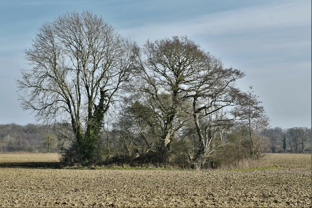
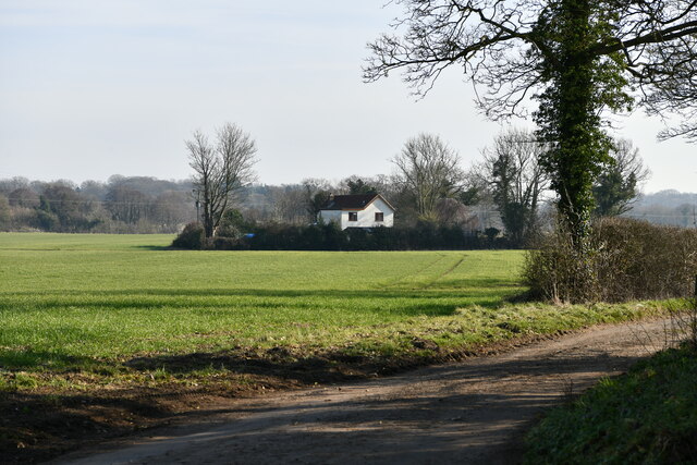
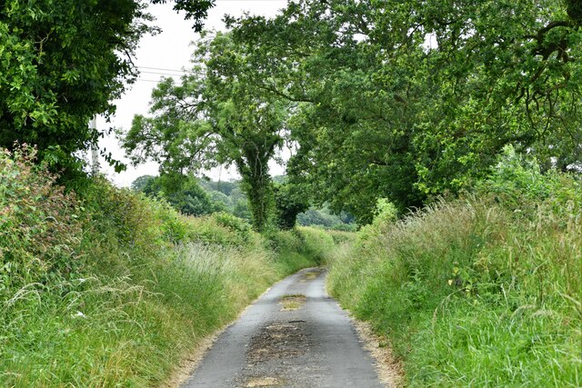
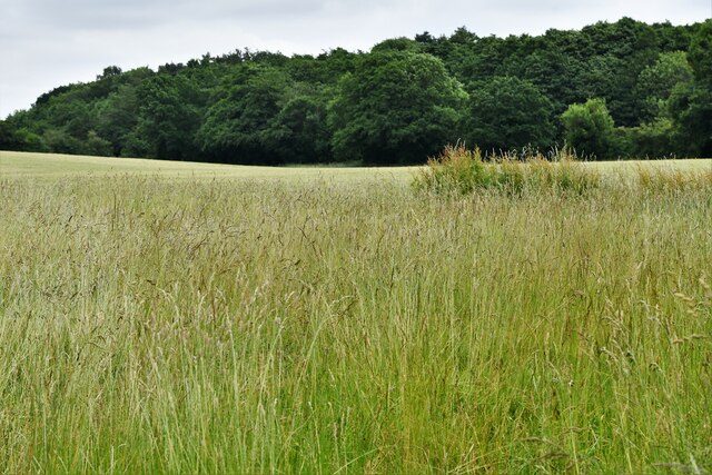
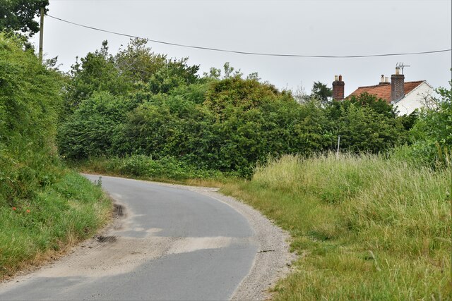
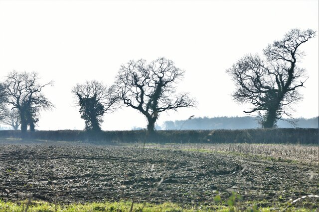
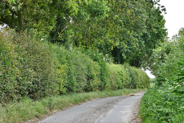
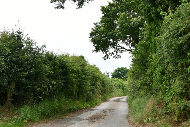
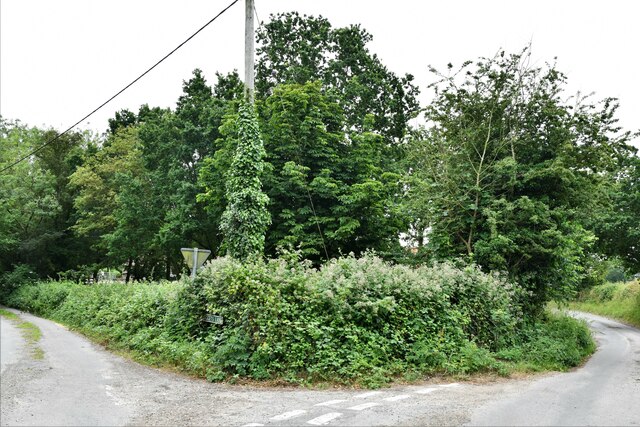
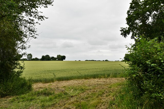
Wood, Forest in Norfolk Broadland
England
Coconut Grove
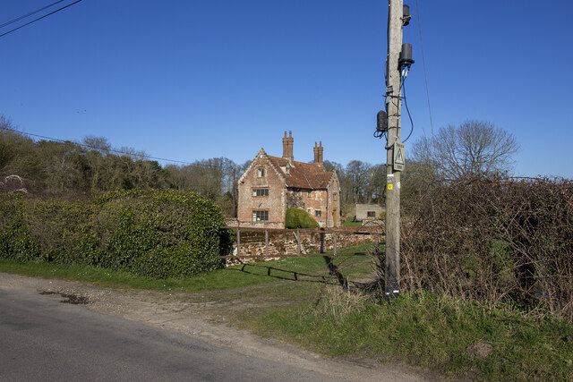
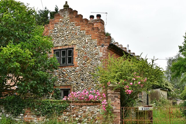
Coconut Grove is a picturesque neighborhood located in Norfolk, Virginia. Nestled in the Wood, Forest area, the community offers a serene and lush environment for its residents. The neighborhood gets its name from the abundance of coconut trees that line its streets, creating a tropical ambiance.
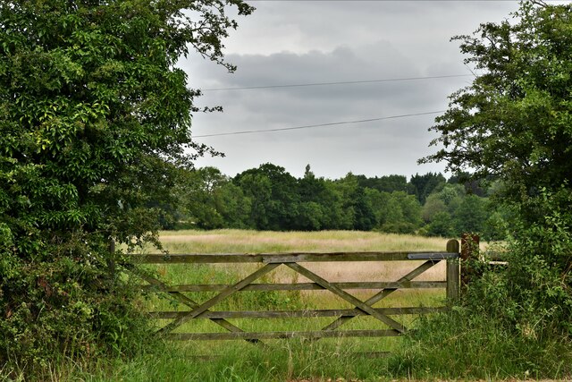
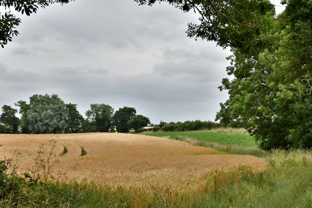
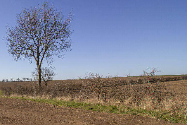
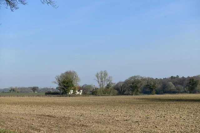
One of the defining features of Coconut Grove is its natural beauty. The area is surrounded by dense forests and green spaces, providing a tranquil setting for outdoor enthusiasts. The neighborhood's streets are lined with well-maintained sidewalks, perfect for leisurely strolls or jogging. Residents often take advantage of the numerous parks and recreational areas nearby, such as Wood Park and Forest Reserve, which offer opportunities for hiking, biking, and picnicking.
Coconut Grove is known for its close-knit community and friendly atmosphere. The neighborhood is home to a diverse mix of residents, including families, young professionals, and retirees. The strong sense of community is fostered through regular neighborhood events and gatherings, where residents can connect and get to know one another.
In terms of amenities, Coconut Grove offers easy access to a range of necessities. The neighborhood is located within proximity to shopping centers, grocery stores, and schools. Additionally, residents benefit from convenient access to major transportation routes, making it easy to commute to other parts of Norfolk or neighboring cities.
Overall, Coconut Grove in Wood, Forest is an idyllic neighborhood that offers a peaceful and natural environment, while still providing the convenience of nearby amenities. It is a community that appeals to those seeking a balance between tranquility and accessibility.
If you have any feedback on the listing, please let us know in the comments section below.
Coconut Grove Images
Images are sourced within 2km of 52.82517/1.1056646 or Grid Reference TG0929. Thanks to Geograph Open Source API. All images are credited.
Coconut Grove is located at Grid Ref: TG0929 (Lat: 52.82517, Lng: 1.1056646)
Administrative County: Norfolk
District: Broadland
Police Authority: Norfolk
What 3 Words
///window.yell.husky. Near Briston, Norfolk
Nearby Locations
Related Wikis

Thurning, Norfolk
Thurning is a small dispersed village and civil parish in the English county of Norfolk and district of North Norfolk, near the border with Broadland....

Corpusty and Saxthorpe railway station
Corpusty and Saxthorpe railway station was a railway station in the North Norfolk village of Corpusty. It was opened by the Eastern & Midlands Railway...

Saxthorpe
Saxthorpe is a village in Norfolk, England. The village is 12 miles (19 km) west south west of Cromer and 16.3 miles (26.2 km) north north west of Norwich...

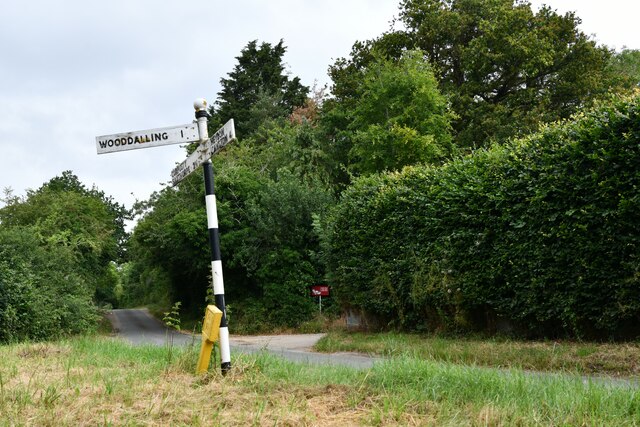
Wood Dalling
Wood Dalling is a village and civil parish in Norfolk, England. It is located 8 miles (13 km) south of Holt and 3 miles (4.8 km) north of Reepham, the...

Heydon, Norfolk
Heydon is a village and civil parish in Norfolk, England. It is located 3 miles (4.8 km) north of the market town of Reepham. The village can be accessed...

Barningham Green
Barningham Green is a village in Norfolk, England. The villages name means 'Homestead/village of Beorn's people'. == References == http://kepn.nottingham...

Nethergate, Norfolk
Nethergate is a hamlet within the civil parish of Hindolveston in the English county of Norfolk. The hamlet is 15.9 miles (25.6 km) west-south-west of...

Guestwick
Guestwick is a village and a civil parish in the English county of Norfolk. The village is 19.6 miles (31.5 km) south-west of Cromer, 18.7 miles (30.1...
Nearby Amenities
Located within 500m of 52.82517,1.1056646Have you been to Coconut Grove?
Leave your review of Coconut Grove below (or comments, questions and feedback).