Moorlands Wood

Wood, Forest in Kent Ashford

England

Moorlands Wood

Hastingleigh church St. Mary's is a grade I listed building, oldest parts 11th century.
Hastingleigh church Credit: Robin Webster

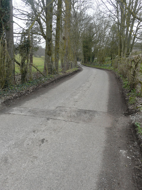
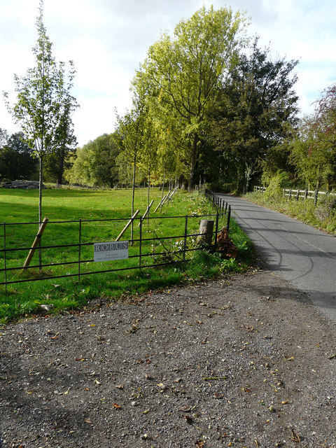
Moorlands Wood is a picturesque woodland located in Kent, England. Covering an area of approximately 50 hectares, it is considered one of the most beautiful and diverse woodlands in the region. The wood is situated near the village of Kent and is easily accessible by road.

Moorlands Wood offers a tranquil and serene environment for visitors to enjoy the beauty of nature. It is known for its rich biodiversity, with a wide variety of plant and animal species calling it home. The wood is primarily composed of broad-leaved trees, including oak, beech, and birch, which create a lush and vibrant canopy throughout the year.

Walking trails wind through Moorlands Wood, allowing visitors to explore and immerse themselves in the natural surroundings. These paths are well-maintained and provide opportunities for both leisurely strolls and more adventurous hikes. Along the way, visitors may encounter wildlife such as deer, foxes, and a diverse array of bird species.

Throughout the seasons, Moorlands Wood displays an ever-changing landscape, with vibrant displays of bluebells in the spring and colorful foliage in the autumn. The wood also features a small pond, providing a habitat for aquatic plants and creatures.

The management of Moorlands Wood is overseen by local authorities, who ensure the conservation and protection of its natural resources. As such, visitors are encouraged to respect the environment and adhere to any guidelines or regulations that may be in place.

Overall, Moorlands Wood offers a serene and enchanting experience for nature lovers, providing a true escape from the hustle and bustle of everyday life.

If you have any feedback on the listing, please let us know in the comments section below.

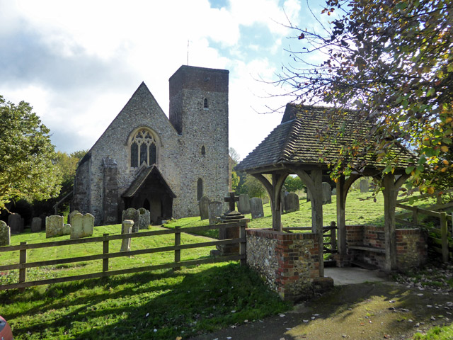
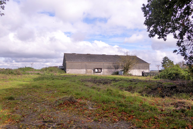
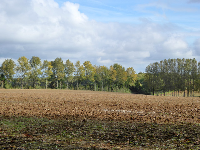
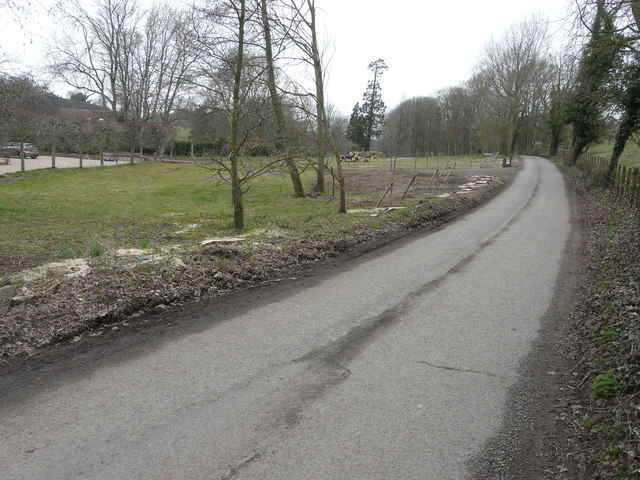
Moorlands Wood Images

Images are sourced within 2km of 51.171279/0.99344658 or Grid Reference TR0945. Thanks to Geograph Open Source API. All images are credited.

Hastingleigh church St. Mary's is a grade I listed building, oldest parts 11th century.
Hastingleigh church
St. Mary's is a grade I listed building, oldest parts 11th century.
Barn, Bodsham Apparently on its own plot.
Barn, Bodsham
Apparently on its own plot.
Farmland east of Shrubs Wood Hedgerow wind break trees suggest there were once orchards or hops here.
Farmland east of Shrubs Wood
Hedgerow wind break trees suggest there were once orchards or hops here.
Newly planted trees beside a lane A row of crack willows (salix fragilis), which were planted immediately beside the lane, has been cut down and their trunks and branches stacked further back from the lane. A row of young trees has been planted behind the stumps.
Newly planted trees beside a lane
A row of crack willows (salix fragilis), which were planted immediately beside the lane, has been cut down and their trunks and branches stacked further back from the lane. A row of young trees has been planted behind the stumps.
Trees along a lane The trees, on the left, are crack willows (salix fragilis) and are located just round the bend in the image showing <a href="https://www.geograph.org.uk/photo/5730050">TR1045 : Newly planted trees beside a lane</a>. It is possible that the other trees were cut down, so that a new fence might be installed further back from the lane’s edge, as this one is a continuation of the old fence.
Trees along a lane
The trees, on the left, are crack willows (salix fragilis) and are located just round the bend in the image showing TR1045 : Newly planted trees beside a lane. It is possible that the other trees were cut down, so that a new fence might be installed further back from the lane’s edge, as this one is a continuation of the old fence.
Row of trees beside a lane Seven months ago, they were <a href="https://www.geograph.org.uk/photo/5730050">TR1045 : Newly planted trees beside a lane</a> but now they are in leaf and a new fence has been installed.
Row of trees beside a lane
Seven months ago, they were TR1045 : Newly planted trees beside a lane but now they are in leaf and a new fence has been installed.
Hastingleigh, St. Mary's Church
Hastingleigh, St. Mary's Church: South east aspect
Hastingleigh, St. Mary's Church: Area set aside for nature, Peacock butterfly 1
Hastingleigh, St. Mary's Church: Area set aside for nature, Peacock butterfly 2
Hastingleigh, St. Mary's Church: Area set aside for nature, Small skipper butterfly
Hastingleigh, St. Mary's Church: The Early English chancel
Hastingleigh, St. Mary's Church: The north wall of the Early English chancel
Hastingleigh, St. Mary's Church: The chancel roof
Hastingleigh, St. Mary's Church: c13th lancet window filled with 'grisaille' glass
Hastingleigh, St. Mary's Church: c16th glass in the south chancel window
Hastingleigh, St. Mary's Church: c13th or c14th wall painting in Norman round-arched recess 1
Show me another place!

Moorlands Wood is located at Grid Ref: TR0945 (Lat: 51.171279, Lng: 0.99344658)

Administrative County: Kent

District: Ashford

Police Authority: Kent

What 3 Words

///rural.diggers.pizzas. Near Wye, Kent

Related Wikis

Shrub's Wood Long Barrow

Shrub's Wood Long Barrow is an unchambered long barrow located near to the village of Elmsted in the south-eastern English county of Kent. It was probably...

Hastingleigh

Hastingleigh is a small civil parish centred on an escarpment of the Kent Downs. The parish is three miles east of Wye and ten miles south of Canterbury...

Park Gate Down

Park Gate Down or Parkgate Down is a 7-hectare (17-acre) biological Site of Special Scientific Interest south-east of Stelling Minnis in Kent. It is also...

Wye and Crundale Downs

Wye and Crundale Downs is a 358.3-hectare (885-acre) biological and geological Site of Special Scientific Interest in a number of separate areas east of...

Elmsted

Elmsted is a village and civil parish in the Folkestone and Hythe District of Kent, England. It is located west of Stone Street (the B2068), the Roman...

Spong Wood

Spong Wood is a 18-hectare (44-acre) nature reserve west of Stelling Minnis in Kent. It is managed by Kent Wildlife Trust.Common trees in this coppiced...
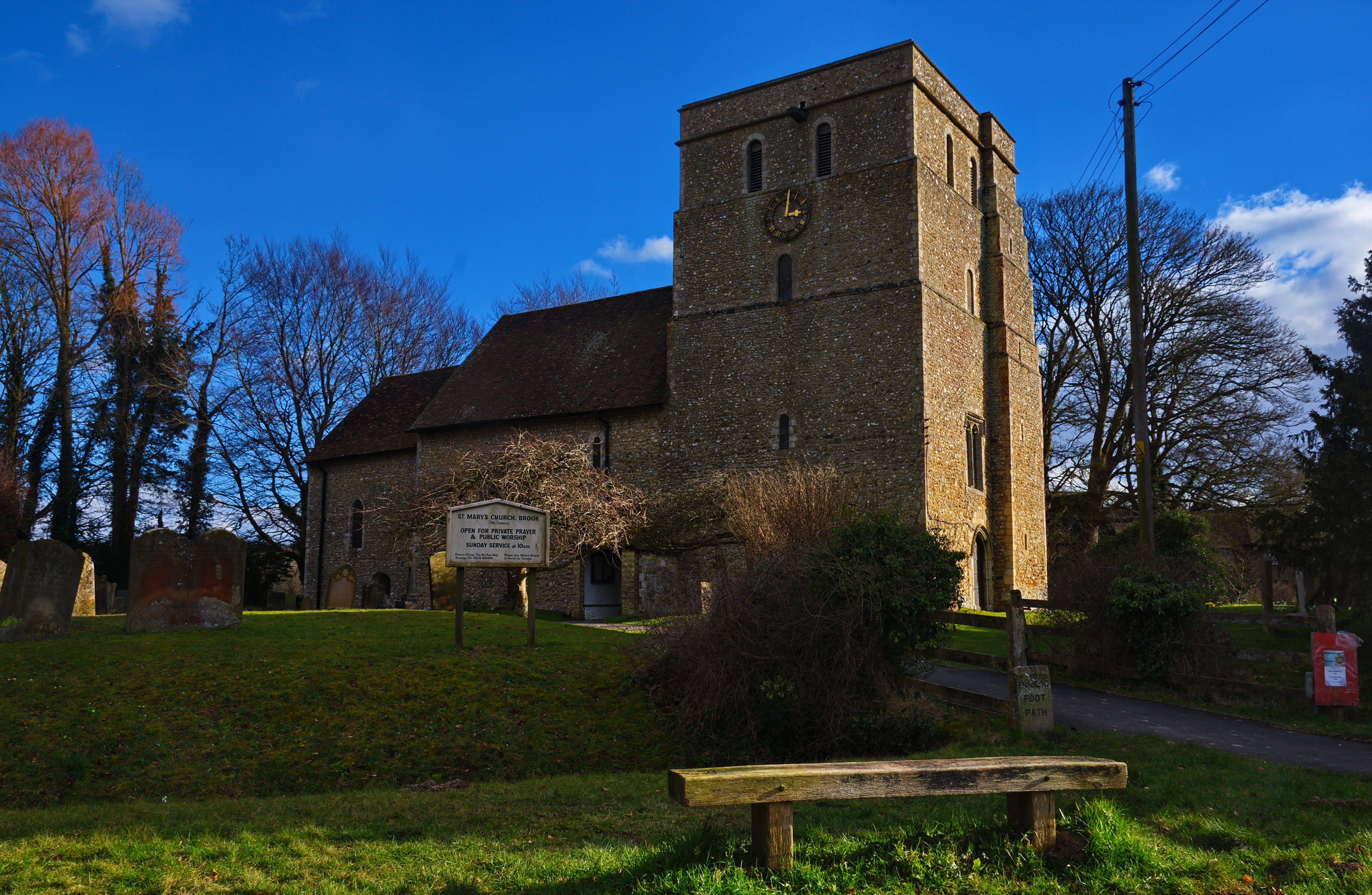
Brook, Kent

Brook is a small village and civil parish in the borough of Ashford in Kent, England, centred 4.5 miles (7.2 km) east-northeast of the town of Ashford...

Waltham, Kent

Waltham is a village and civil parish 7 miles (11 km) southwest of Canterbury in Kent, England. == History == The village was once associated with the...

Nearby Amenities

Located within 500m of 51.171279,0.99344658
Bus Stop
Witherdane
Flag: no
Local Ref: S-bound
Naptan AtcoCode: 2400A073380A
Naptan Bearing: S
Naptan BusStopType: CUS
Naptan CommonName: Witherdane
Naptan Indicator: S-bound
Naptan Landmark: Witherdane
Naptan NaptanCode: kntgjapm
Naptan RevisionNumber: 3
Naptan Status: act
Naptan Street: Witherdane
Naptan Verified: no
Public Transport: platform
Ref: kntgjapm
Source: naptan_import
Source Date: 2013-11-04
Lat/Long: 51.1706473/0.9917531
Barrier: stile
Lat/Long: 51.1742187/0.9881331
Barrier: stile
Lat/Long: 51.1738826/0.9969601
Barrier: stile
Lat/Long: 51.1743539/0.995454
Barrier: stile
Lat/Long: 51.1751046/0.9940097
The data included in this document is from www.openstreetmap.org. The data is made available under ODbL.

Have you been to Moorlands Wood?

Leave your review of Moorlands Wood below (or comments, questions and feedback).