Coombe Wood

Wood, Forest in Kent Canterbury

England

Coombe Wood

Seasalter Levels Marked on the map as a nature reserve and bordered by caravan parks the marsh (along with Graveney, Cleve and Nagden Marshes to the west) covers an area of about eleven square kilometres between here and Faversham Creek. It has been drained since the sea wall was built in the 14th century and is grazed by sheep and cattle. The feathery tops of the reeds show the positions of the drainage dykes. Looking south from Faversham Road, the pylons are in TR0863.
Seasalter Levels Credit: Penny Mayes

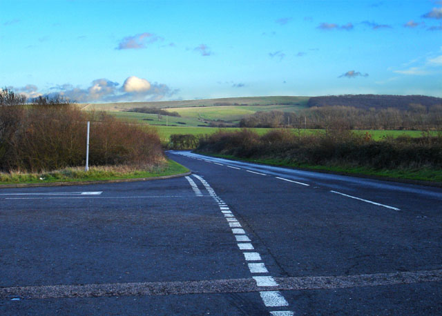
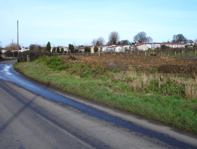
Coombe Wood, located in Kent, is a picturesque woodland area that spans over 200 acres. Situated near the town of Croydon, it is easily accessible and attracts visitors from both the local community and beyond. The wood is known for its diverse range of plant and animal species, making it a popular spot for nature enthusiasts and walkers.

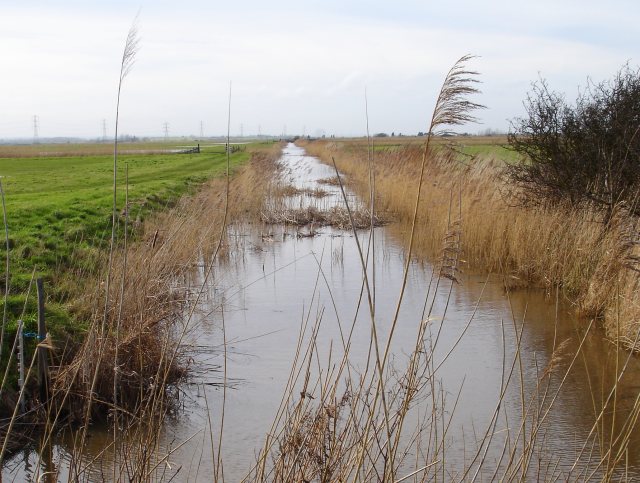
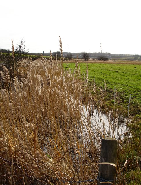
The woodland is characterized by its mix of deciduous and evergreen trees, including oak, beech, and conifers. These trees provide a stunning display of colors throughout the year, with vibrant greens in the spring and summer and warm tones of red and gold in the autumn. Bluebells carpet the forest floor in the spring, creating a breathtaking sight.

Several walking trails wind their way through Coombe Wood, offering visitors the chance to explore its natural beauty. The paths are well-maintained and clearly marked, making it easy for visitors to navigate. Along the way, visitors may encounter a variety of wildlife, including squirrels, woodpeckers, and deer.

Coombe Wood also features a charming café where visitors can relax and enjoy refreshments amidst the serene surroundings. Additionally, there are picnic areas and benches scattered throughout the wood, providing opportunities for visitors to enjoy a peaceful moment in nature.

Overall, Coombe Wood is a tranquil and enchanting destination for those seeking a peaceful retreat in the heart of Kent. Its natural beauty, diverse flora and fauna, and well-maintained trails make it a must-visit location for nature lovers and outdoor enthusiasts alike.

If you have any feedback on the listing, please let us know in the comments section below.
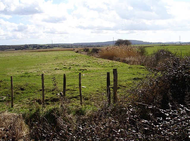
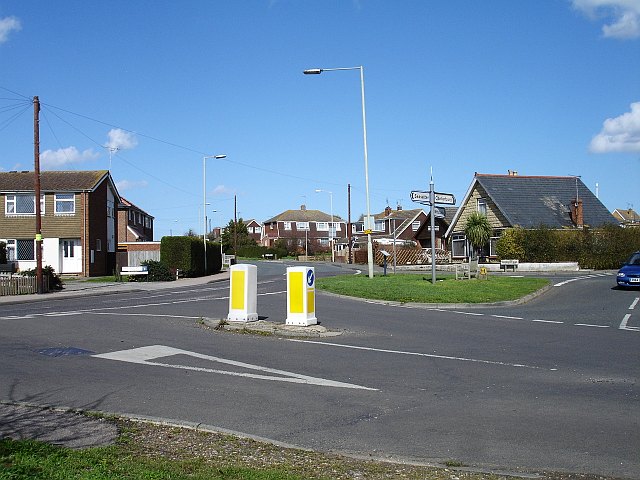
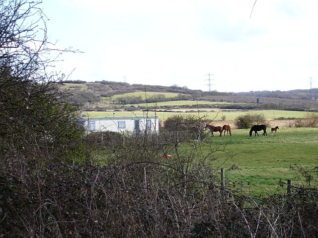
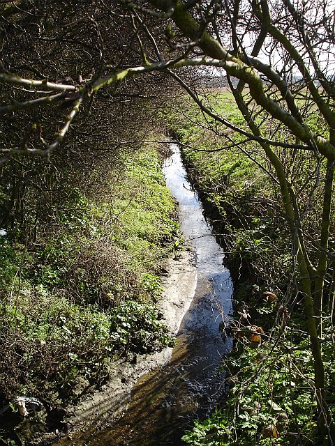
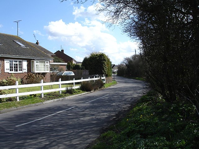
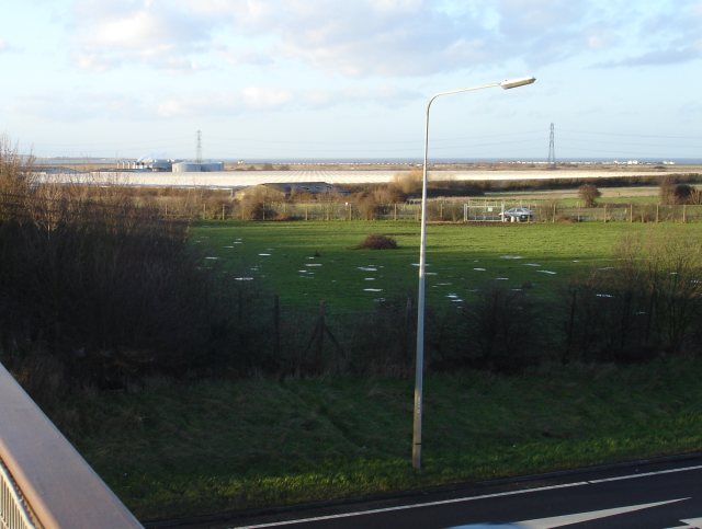
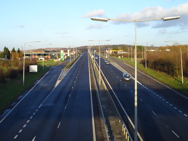
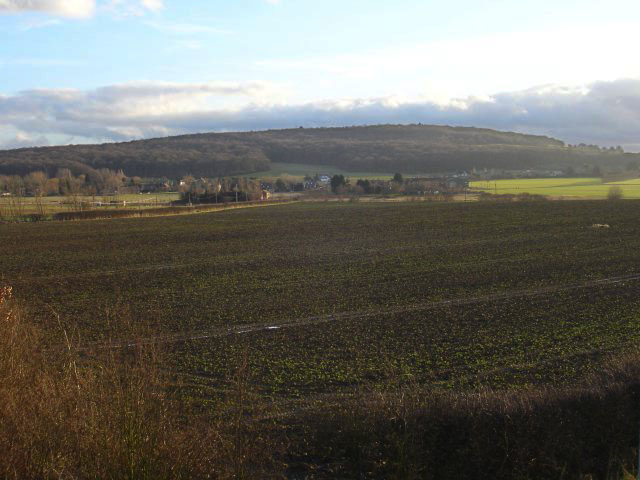
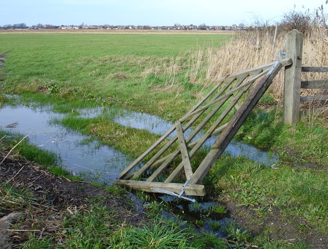
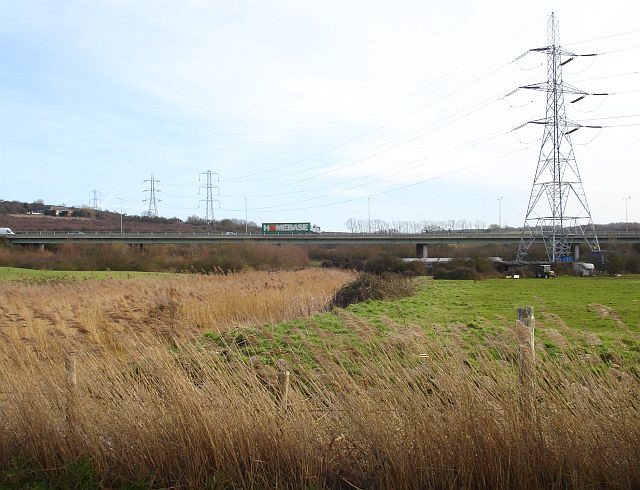
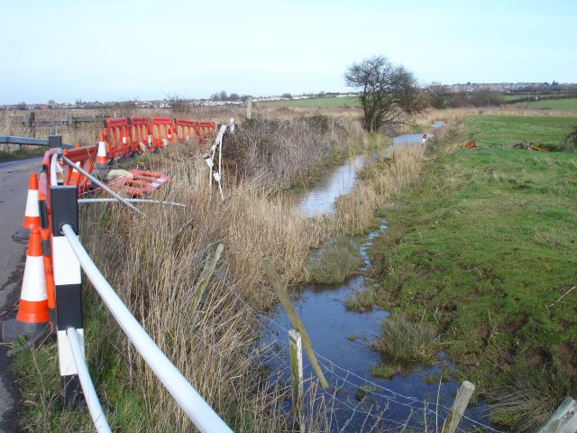
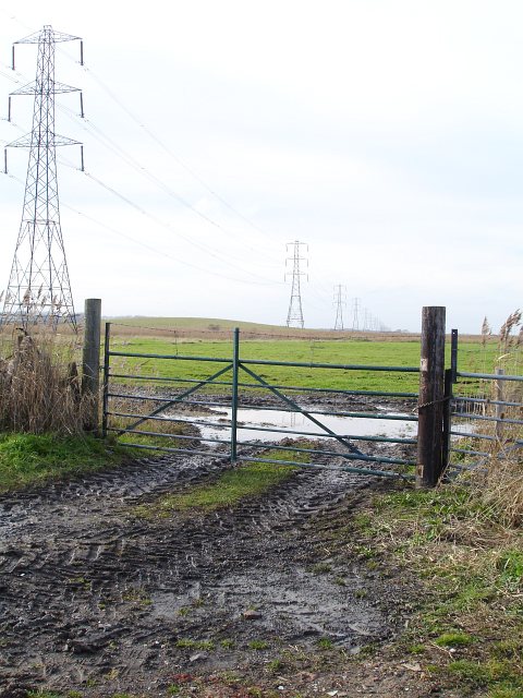
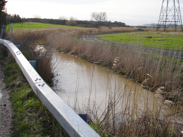
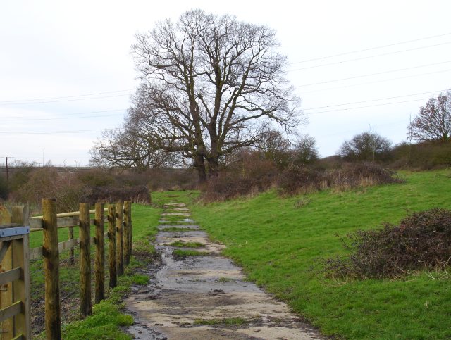
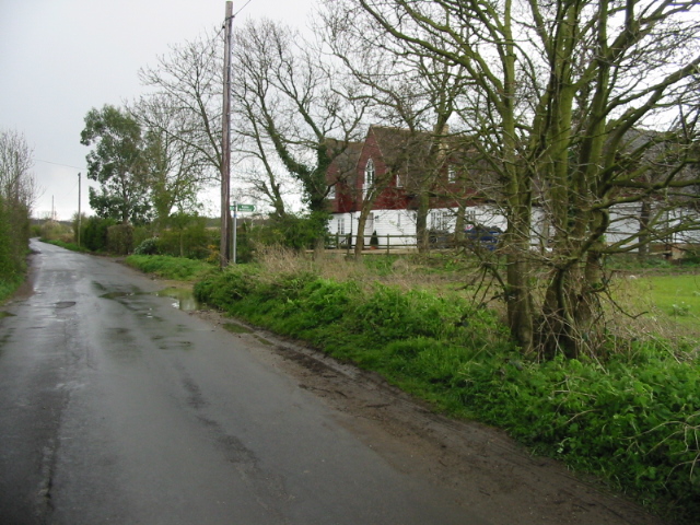
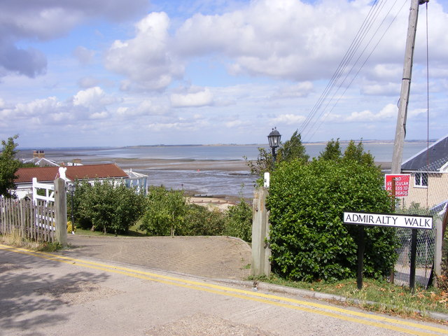
Coombe Wood Images

Images are sourced within 2km of 51.326265/1.0035482 or Grid Reference TR0962. Thanks to Geograph Open Source API. All images are credited.

Seasalter Levels Marked on the map as a nature reserve and bordered by caravan parks the marsh (along with Graveney, Cleve and Nagden Marshes to the west) covers an area of about eleven square kilometres between here and Faversham Creek. It has been drained since the sea wall was built in the 14th century and is grazed by sheep and cattle. The feathery tops of the reeds show the positions of the drainage dykes. Looking south from Faversham Road, the pylons are in TR0863.
Seasalter Levels
Marked on the map as a nature reserve and bordered by caravan parks the marsh (along with Graveney, Cleve and Nagden Marshes to the west) covers an area of about eleven square kilometres between here and Faversham Creek. It has been drained since the sea wall was built in the 14th century and is grazed by sheep and cattle. The feathery tops of the reeds show the positions of the drainage dykes. Looking south from Faversham Road, the pylons are in TR0863.
Seasalter Cross Not a stone cross but a cross roads on the south western edge of this ancient borough, first recorded in an Anglo Saxon charter of 785 CE. Faversham Road is now the 'through' road, left for the Blue Anchor pub and the road along the sea wall  to Faversham, straight on for Joy Lane and eventually Whitstable. Church Lane runs right and was the road to Canterbury in Roman times but now runs up to the slip road from the east-bound Thanet Way. The fourth road, beside which I stood, is Seasalter Lane which runs south and under the Thanet Way to Yorkletts.
Seasalter Cross
Not a stone cross but a cross roads on the south western edge of this ancient borough, first recorded in an Anglo Saxon charter of 785 CE. Faversham Road is now the 'through' road, left for the Blue Anchor pub and the road along the sea wall to Faversham, straight on for Joy Lane and eventually Whitstable. Church Lane runs right and was the road to Canterbury in Roman times but now runs up to the slip road from the east-bound Thanet Way. The fourth road, beside which I stood, is Seasalter Lane which runs south and under the Thanet Way to Yorkletts.
The edge of the marsh, Seasalter A small caravan park and some horses on the north eastern edge of Seasalter Levels. The rising ground in the background is Wralk Hill in TR0963.
The edge of the marsh, Seasalter
A small caravan park and some horses on the north eastern edge of Seasalter Levels. The rising ground in the background is Wralk Hill in TR0963.
Ditch by Seasalter Lane Looking south down the eastern edge of Seasalter Levels.
Ditch by Seasalter Lane
Looking south down the eastern edge of Seasalter Levels.
Seasalter Lane Running south from <a href="https://www.geograph.org.uk/photo/145412">TR0964 : Seasalter Cross</a> towards Yorkletts.
Seasalter Lane
Running south from TR0964 : Seasalter Cross towards Yorkletts.
Nursery at Waterham The greenhouses of this huge plant nursery straddle the northern grid line of this square - the cylindrical structures are in <a href="https://www.geograph.org.uk/gridref/TR0763">TR0763</a>. Viewed from the bridge which crosses the Thanet Way which gives one of the few high vantage points in the area. Land to the left on the horizon is the Isle of Sheppey.
Nursery at Waterham
The greenhouses of this huge plant nursery straddle the northern grid line of this square - the cylindrical structures are in TR0763. Viewed from the bridge which crosses the Thanet Way which gives one of the few high vantage points in the area. Land to the left on the horizon is the Isle of Sheppey.
Services on the Thanet Way The A299 Thanet Way has been greatly improved in recent years and in this area has been transformed from a suicidal three-lane road to dual-carriageway. This has reduced accidents and traffic hold-ups on sunny summer weekends. Whitstable is visible on the left.
Services on the Thanet Way
The A299 Thanet Way has been greatly improved in recent years and in this area has been transformed from a suicidal three-lane road to dual-carriageway. This has reduced accidents and traffic hold-ups on sunny summer weekends. Whitstable is visible on the left.
Looking towards Dargate With Holly Hill (at 108 metres, a prominent feature hereabouts) in the background.
Looking towards Dargate
With Holly Hill (at 108 metres, a prominent feature hereabouts) in the background.
New road from Plumpudding Lane Local lanes which used to make dangerous junctions with the A299 Thanet Way now cross it via bridges with a complex network of slip roads. Plumpudding Lane, just visible, runs from the hamlet of Highstreet to Dargate but if you want to get to either place from Waterham you must use this road. Clay Hill in the background.
New road from Plumpudding Lane
Local lanes which used to make dangerous junctions with the A299 Thanet Way now cross it via bridges with a complex network of slip roads. Plumpudding Lane, just visible, runs from the hamlet of Highstreet to Dargate but if you want to get to either place from Waterham you must use this road. Clay Hill in the background.
Caravan Park on Seasalter Lane
Drain on Seasalter Level
Drain beside Seasalter Lane
Broken gate Beside Seasalter Lane
Broken gate
Beside Seasalter Lane
Thanet Way viaduct The A299 Thanet Way crosses the edge of Seasalter Levels near Yorkletts.
Thanet Way viaduct
The A299 Thanet Way crosses the edge of Seasalter Levels near Yorkletts.
Sharp bend on Seasalter Lane Seasalter Lane makes a tight loop to the west after running virtually due south from <a href="https://www.geograph.org.uk/photo/145412">TR0964 : Seasalter Cross</a>. At this point it crosses a culverted drain and, unusually, a vehicle seems to have left the road on the inside of the bend, taking much of the old concrete post and steel pipe 'crash barrier' with it.
Sharp bend on Seasalter Lane
Seasalter Lane makes a tight loop to the west after running virtually due south from TR0964 : Seasalter Cross. At this point it crosses a culverted drain and, unusually, a vehicle seems to have left the road on the inside of the bend, taking much of the old concrete post and steel pipe 'crash barrier' with it.
West across Seasalter Levels The hill seen between the nearer two pylons has a spot height of 12 metres.
West across Seasalter Levels
The hill seen between the nearer two pylons has a spot height of 12 metres.
Drain by Seasalter Lane
Fox's Cross Bottom A sign on the gate indicates this is part of Wraik Hill Nature Reserve "A place for people and wildlife. The fields and hedgerows at Wraik Hill are a haven for wildlife. In winter, woodcock feed on the wet grassland and fieldfares feast on thorn berries. In summer, nightingales nest in the dense scrub and on sunny days the air is full of the songs of crickets and grass-hoppers, including the scarce Roesel's bush cricket... Look out for plants like pepper saxifrage, grass vetchling and spiny restharrow which grow only on grassland that has not been 'improved' with chemicals". 
The gate was firmly padlocked.
Fox's Cross Bottom
A sign on the gate indicates this is part of Wraik Hill Nature Reserve "A place for people and wildlife. The fields and hedgerows at Wraik Hill are a haven for wildlife. In winter, woodcock feed on the wet grassland and fieldfares feast on thorn berries. In summer, nightingales nest in the dense scrub and on sunny days the air is full of the songs of crickets and grass-hoppers, including the scarce Roesel's bush cricket... Look out for plants like pepper saxifrage, grass vetchling and spiny restharrow which grow only on grassland that has not been 'improved' with chemicals". The gate was firmly padlocked.
Show me another place!

Coombe Wood is located at Grid Ref: TR0962 (Lat: 51.326265, Lng: 1.0035482)

Administrative County: Kent

District: Canterbury

Police Authority: Kent

What 3 Words

///prosper.chucks.presides. Near Blean, Kent

Nearby Locations

Coombe Wood

Related Wikis

Yorkletts

Yorkletts is a settlement two miles south of Whitstable in Kent in South East England. At the 2011 Census the settlement was included in the Seasalter...

Foxes Cross Bottom

Foxes Cross Bottom is a 4-hectare (9.9-acre) Local Nature Reserve north-west of Whitstable in Kent. It is owned and managed by Canterbury City Council...

Ellenden Wood

Ellenden Wood is a 90.6-hectare (224-acre) biological Site of Special Scientific Interest south of Whitstable in Kent. It is a Nature Conservation Review...

Duncan Down

Duncan Down is an open, public, area to the south west of Whitstable and is the largest village green in the United Kingdom. It is a 21 hectare (52 acre...

Seasalter Levels

Seasalter Levels is a 71.4-hectare (176-acre) Local Nature Reserve in Seasalter, on the western outskirts of Whitstable in Kent. It is owned and managed...

Denstroude

Denstroude is a dispersed hamlet located to the west of the A290 road north of Canterbury in Kent, England. It is a collection of houses and farms, one...

Seasalter

Seasalter is a village (and district council ward) in the Canterbury District of Kent, England. Seasalter is on the north coast of Kent, between the towns...

Black Mill, Whitstable

Black Mill, or Borstal Hill Mill is a smock mill in Whitstable, Kent, England that was built in 1815. It is now a part of a private residence at the end...

Nearby Amenities

Located within 500m of 51.326265,1.0035482
Post Box
Brand: Royal Mail
Brand Wikidata: Q638098
Collection Times: Mo-Fr 09:00; Sa 07:00
Operator: Royal Mail
Operator Wikidata: Q638098
Post Box Mounting: metal_post
Post Box Type: lamp
Postal Code: CT5
Ref: CT5 298
Royal Cypher: EIIR
Royal Cypher Wikidata: Q33102113
Source: survey
Lat/Long: 51.3281613/0.9995053
Bus Stop
Barn Close
Flag: no
Naptan AtcoCode: 2400A038590A
Naptan Bearing: SW
Naptan BusStopType: CUS
Naptan CommonName: Barn Close
Naptan Indicator: opp
Naptan Landmark: Barn Close
Naptan NaptanCode: kntdpgpw
Naptan Street: Dargate Road
Naptan Verified: no
Public Transport: platform
Source: naptan_import
Lat/Long: 51.3282337/0.9996921
Bus Stop
Barn Close
Flag: no
Naptan AtcoCode: 2400A038600A
Naptan Bearing: NE
Naptan BusStopType: CUS
Naptan CommonName: Barn Close
Naptan Indicator: adj
Naptan Landmark: Barn Close
Naptan NaptanCode: kntdpgta
Naptan Street: Dargate Road
Naptan Verified: no
Public Transport: platform
Source: naptan_import
Lat/Long: 51.3283118/0.9994531
The data included in this document is from www.openstreetmap.org. The data is made available under ODbL.

Have you been to Coombe Wood?

Leave your review of Coombe Wood below (or comments, questions and feedback).