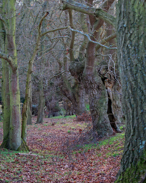
Dogkennel Wood

Wood, Forest in Suffolk Babergh

England

Dogkennel Wood

The River Brett at Shelley Bridge Looking downstream.
The River Brett at Shelley Bridge Credit: Jonathan Thacker

The requested URL returned error: 429 Too Many Requests

If you have any feedback on the listing, please let us know in the comments section below.

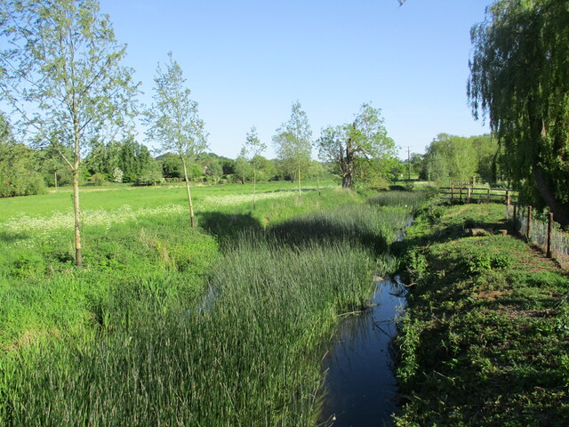
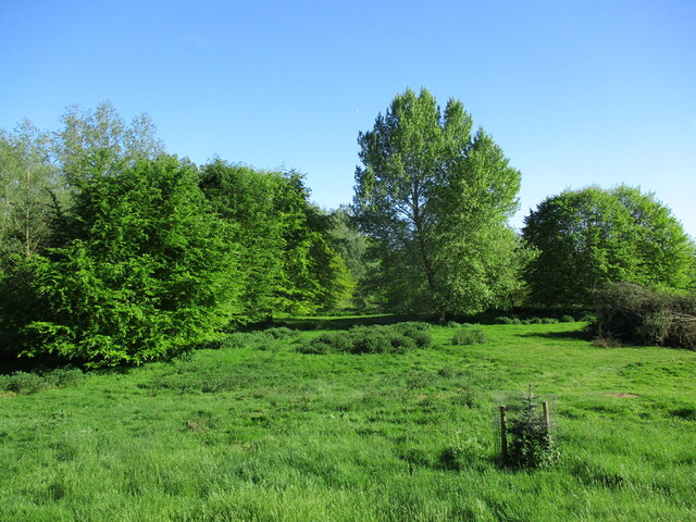
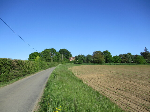
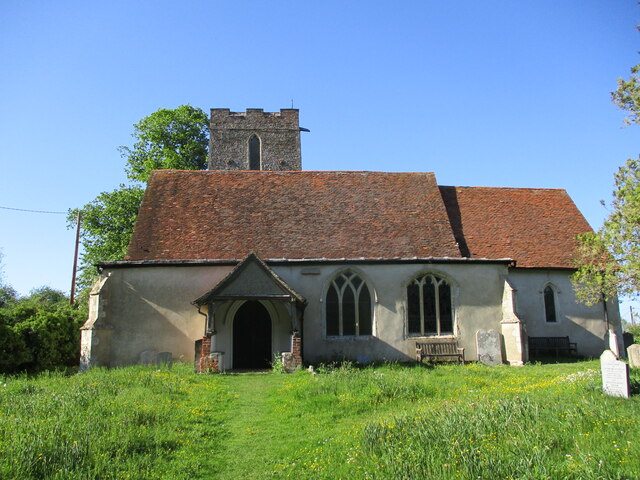
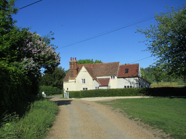
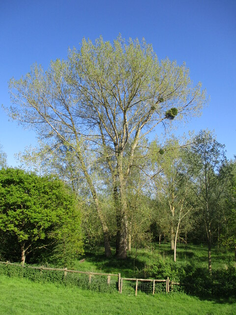
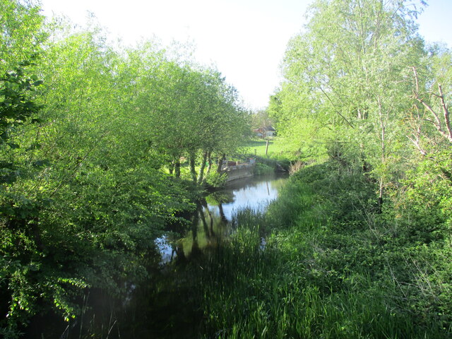
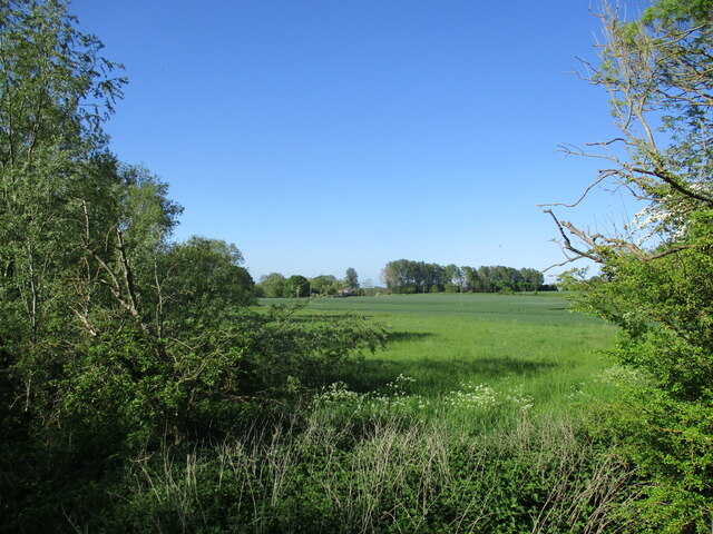
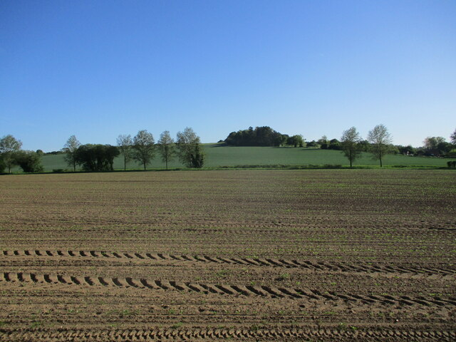
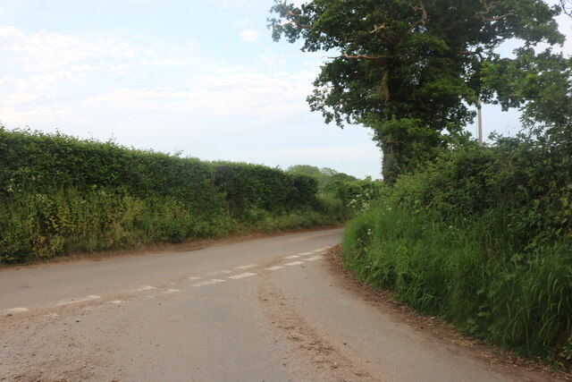
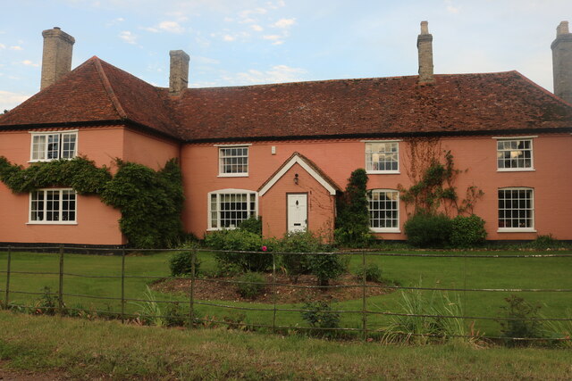
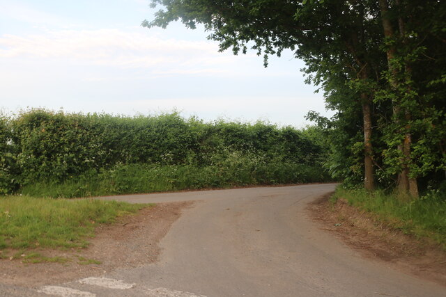
Dogkennel Wood Images

Images are sourced within 2km of 52.001693/0.9400672 or Grid Reference TM0137. Thanks to Geograph Open Source API. All images are credited.

The River Brett at Shelley Bridge Looking downstream.
The River Brett at Shelley Bridge
Looking downstream.
Parkland near Shelley Hall The trees hide a moated site.
Parkland near Shelley Hall
The trees hide a moated site.
Sutton Hill
Sutton Hill
All Saints' church, Shelley Largely of the fourteenth century <span class="nowrap"><a title="https://historicengland.org.uk/listing/the-list/list-entry/1351959?section=official-list-entry" rel="nofollow ugc noopener" href="https://historicengland.org.uk/listing/the-list/list-entry/1351959?section=official-list-entry">Link</a><img style="margin-left:2px;" alt="External link" title="External link - shift click to open in new window" src="https://s1.geograph.org.uk/img/external.png" width="10" height="10"/></span>
All Saints' church, Shelley
Largely of the fourteenth century LinkExternal link
Shelley Lodge Fifteenth century cottage with later extensions <span class="nowrap"><a title="https://historicengland.org.uk/listing/the-list/list-entry/1033382?section=official-list-entry" rel="nofollow ugc noopener" href="https://historicengland.org.uk/listing/the-list/list-entry/1033382?section=official-list-entry">Link</a><img style="margin-left:2px;" alt="External link" title="External link - shift click to open in new window" src="https://s1.geograph.org.uk/img/external.png" width="10" height="10"/></span>
Shelley Lodge
Fifteenth century cottage with later extensions LinkExternal link
Tree with mistletoe, Shelley Mistletoe is uncommon in Eastern England. My casual observation suggests that most occurrences are in the grounds of country estates, which suggests it may have been deliberately introduced.
Tree with mistletoe, Shelley
Mistletoe is uncommon in Eastern England. My casual observation suggests that most occurrences are in the grounds of country estates, which suggests it may have been deliberately introduced.
The River Brett at Shelley Bridge Looking upstream.
The River Brett at Shelley Bridge
Looking upstream.
Fields close to Shelley Bridge Most of the parish of Shelley lies to the west of the River Brett. This small area is the only part that lies to the east.
Fields close to Shelley Bridge
Most of the parish of Shelley lies to the west of the River Brett. This small area is the only part that lies to the east.
Prepared field and Higham Hill
Junction on Rockalls Road, Polstead
Large cottage on Stoke Road between Polstead and Layham
Becketts Lane near Layham
Terrace of houses on Stoke Road, Layham
Avenue of Trees, Polstead
All Saints' church, Shelley
Sand Box on Higham Hill This hill clearly needs gritting in the winter as the road salt is ready and waiting.
Sand Box on Higham Hill
This hill clearly needs gritting in the winter as the road salt is ready and waiting.
The Road to Raydon Mill Entrance to a private road to the mill. Located on the minor road between Shelley and the B1070
The Road to Raydon Mill
Entrance to a private road to the mill. Located on the minor road between Shelley and the B1070
All Saints' church, Shelley, Suffolk Most of this church is 14th century and it is unusual in having a north tower set in line with the south porch as seen in the picture.
All Saints' church, Shelley, Suffolk
Most of this church is 14th century and it is unusual in having a north tower set in line with the south porch as seen in the picture.
Show me another place!

Dogkennel Wood is located at Grid Ref: TM0137 (Lat: 52.001693, Lng: 0.9400672)

Administrative County: Suffolk

District: Babergh

Police Authority: Suffolk

What 3 Words

///yarn.innovator.balloons. Near Hadleigh, Suffolk

Related Wikis

Giffords Hall, Stoke-by-Nayland

Giffords Hall (also called Gifford's Hall) is a Tudor manor house near Stoke-by-Nayland in Suffolk, England. It was described by Nikolaus Pevsner as “one...

Shelley, Suffolk

Shelley is a small village and civil parish in Suffolk, England. Located on the west bank of the River Brett around three miles south of Hadleigh, it is...

Withermarsh Green

Withermarsh Green is a village in the civil parish of Stoke-by-Nayland, in the Babergh district, in the county of Suffolk, England. It is located near...

Higham, Babergh

Higham is a village and civil parish in Suffolk, England. Located on the eastern bank of the River Brett (which defines the parish's western boundary)...

Related Videos

#77 The Real Life Hay Wain Location in Flatford & Constable Country [Cinematic Hiking Vlog]

The Hay Wain is John Constable's most famous painting, featuring Willy Lott's Cottage and the River Stour dividing the counties of ...

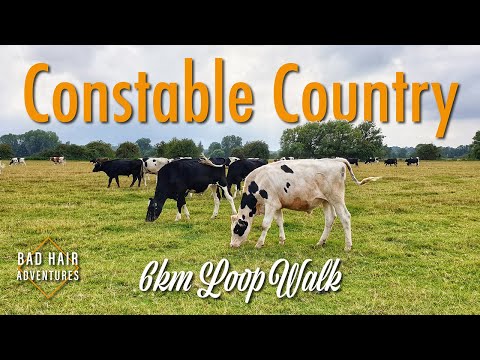
Constable Country 6km Loop Walk

Welcome to the Dedham Vale, where you can track the influences, vistas, and inspirations that gave us John Constable, widely ...

Wild Camping - 60km 2 day Thru-hike, Sudbury to Weeley, May 2021 - Day 2 - Andake Ultralight

Spring has finally sprung so it was time to get back out. A beautiful walk through the heart of Constable country. Their will be more ...

Dedham 'Snow & Surf' Feb 2021

Took a trip to Dedham to catch the view with a white coat on...

Nearby Amenities

Located within 500m of 52.001693,0.9400672
The data included in this document is from www.openstreetmap.org. The data is made available under ODbL.

Have you been to Dogkennel Wood?

Leave your review of Dogkennel Wood below (or comments, questions and feedback).