Withermarsh Green

Settlement in Suffolk Babergh

England

Withermarsh Green

Bluebells in the Grove In a few years you will not be able to see the bluebells from Park Road. This is because there is a newly planted hedge that will obscure the view. However, it won't block the heady scent.
Bluebells in the Grove Credit: Glyn Baker

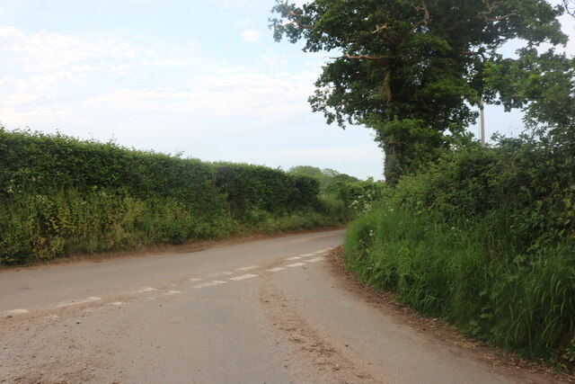
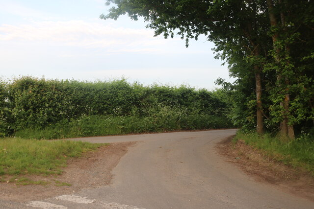
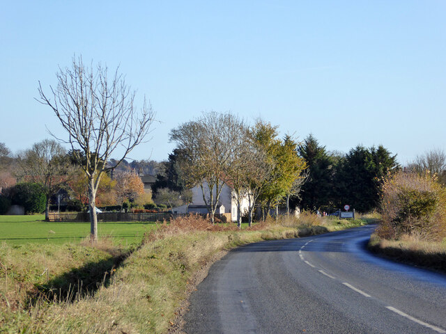
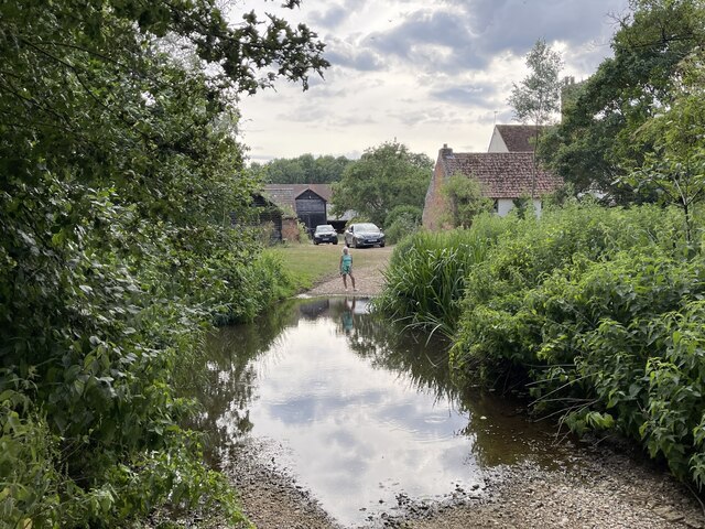
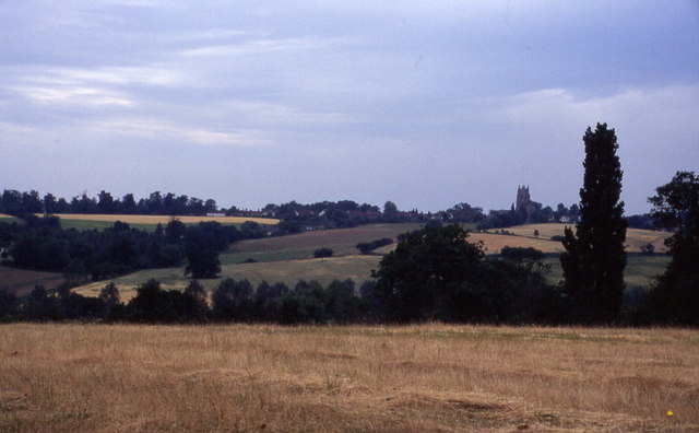
Withermarsh Green is a small village located in the county of Suffolk, England. Situated in the East Anglian region, it is part of the Babergh district and lies approximately 8 miles southwest of the town of Ipswich. The village is surrounded by picturesque countryside, offering residents and visitors a tranquil and scenic environment.

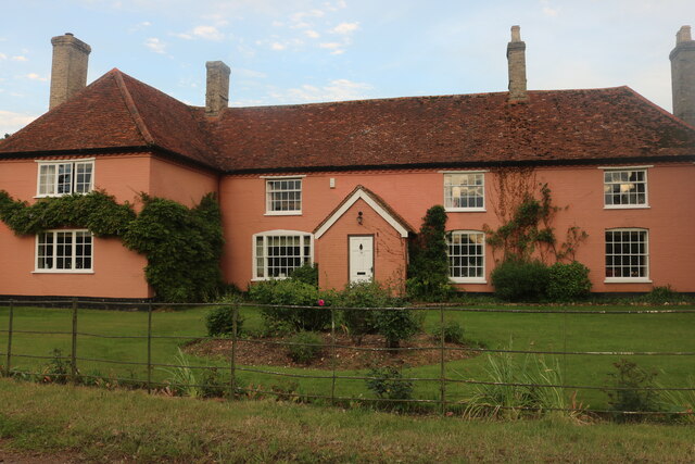
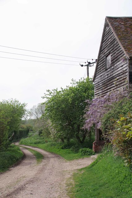
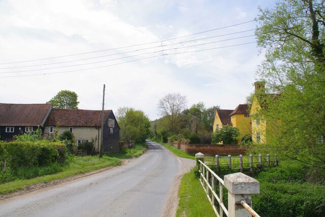
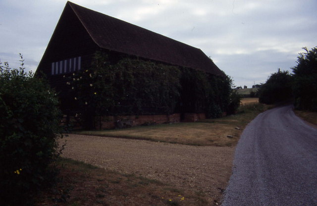
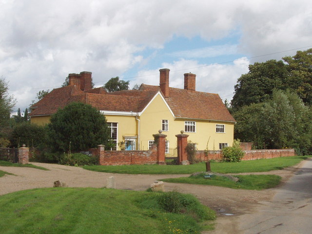
Withermarsh Green is known for its charming and traditional architecture, with many of the buildings dating back several centuries. The village boasts a close-knit community and a strong sense of local pride. The residents take great care in maintaining the village's appearance, resulting in well-manicured gardens and tidy streets.

Despite its small size, Withermarsh Green offers a range of amenities to its residents. The village has a local pub, The Green Dragon, where locals and visitors alike can enjoy a traditional pub atmosphere and enjoy a pint of locally brewed ale. Additionally, there is a village hall that serves as a venue for community events and gatherings.

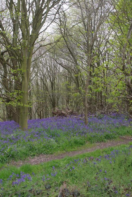
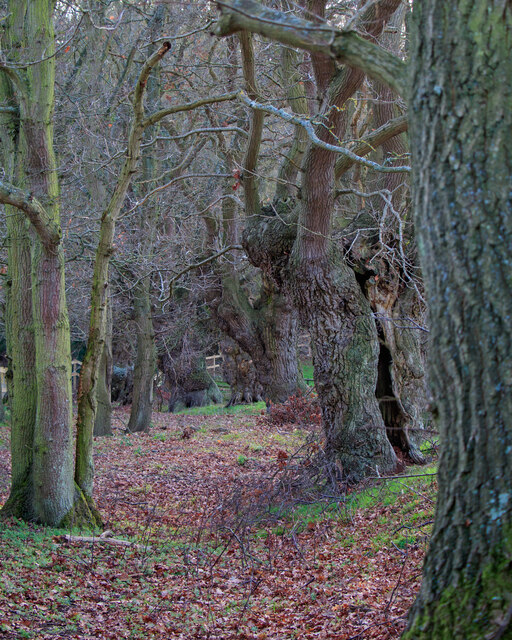
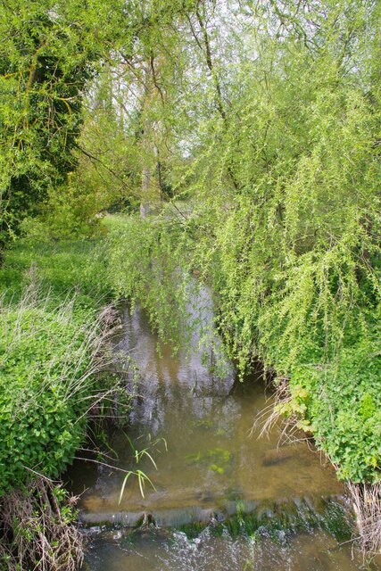
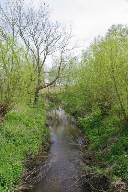
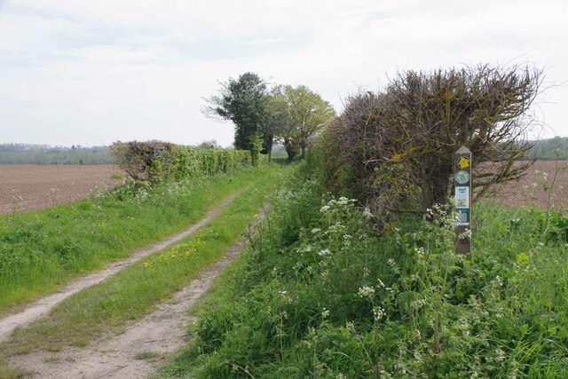
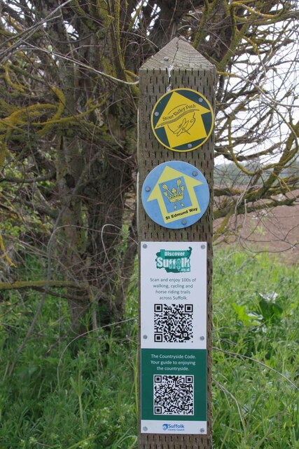
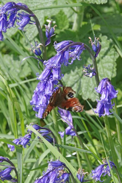
The surrounding countryside provides ample opportunities for outdoor activities and exploration. There are several walking and cycling paths that crisscross the area, allowing visitors to appreciate the natural beauty of the Suffolk countryside. The nearby River Orwell also offers opportunities for boating and fishing.

Overall, Withermarsh Green is a picturesque and idyllic village in Suffolk, offering a peaceful and friendly community, beautiful architecture, and access to the stunning countryside.

If you have any feedback on the listing, please let us know in the comments section below.

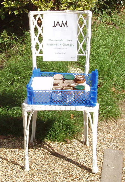
Withermarsh Green Images

Images are sourced within 2km of 51.995002/0.926694 or Grid Reference TM0137. Thanks to Geograph Open Source API. All images are credited.

Bluebells in the Grove In a few years you will not be able to see the bluebells from Park Road. This is because there is a newly planted hedge that will obscure the view. However, it won't block the heady scent.
Bluebells in the Grove
In a few years you will not be able to see the bluebells from Park Road. This is because there is a newly planted hedge that will obscure the view. However, it won't block the heady scent.
Junction on Rockalls Road, Polstead
Large cottage on Stoke Road between Polstead and Layham
Becketts Lane near Layham
Avenue of Trees, Polstead
B1068 towards Thorington Street
Old Barn at Grove Farm An ancient barn at the other end of the <a href="https://www.geograph.org.uk/photo/7476656">TL9835 : Footpath to Tendring Hall Farm</a>
Old Barn at Grove Farm
An ancient barn at the other end of the TL9835 : Footpath to Tendring Hall Farm
The Studio and Thorington Hall Should you wish you can stay at the National Trust property on the right see <span class="nowrap"><a title="https://www.nationaltrust.org.uk/holidays/suffolk/thorington-hall" rel="nofollow ugc noopener" href="https://www.nationaltrust.org.uk/holidays/suffolk/thorington-hall">Link</a><img style="margin-left:2px;" alt="External link" title="External link - shift click to open in new window" src="https://s1.geograph.org.uk/img/external.png" width="10" height="10"/></span>.
The Studio and Thorington Hall
Should you wish you can stay at the National Trust property on the right see LinkExternal link.
River Box in Thorington Street Looking upstream on this tributary to the River Stour.
River Box in Thorington Street
Looking upstream on this tributary to the River Stour.
Downstream on the River Box You can also see upstream at <a href="https://www.geograph.org.uk/photo/7476854">TM0135 : River Box in Thorington Street</a>.
Downstream on the River Box
You can also see upstream at TM0135 : River Box in Thorington Street.
Langham Mill Lane This is a route with unspecified public access. It is part of the St Edmund Way and Stour Valley Path see <a href="https://www.geograph.org.uk/photo/7476871">TM0135 : St Edmund & Stour Valley Waymarks</a>.
Langham Mill Lane
This is a route with unspecified public access. It is part of the St Edmund Way and Stour Valley Path see TM0135 : St Edmund & Stour Valley Waymarks.
St Edmund & Stour Valley Waymarks Showing the way on the long distance paths. The QR codes still work on geograph!
St Edmund & Stour Valley Waymarks
Showing the way on the long distance paths. The QR codes still work on geograph!
Peacock on Bluebells A rather aged looking Peacock on <a href="https://www.geograph.org.uk/photo/7476911">TM0235 : Langham Mill Lane</a> I am sure the bluebells were native <a href="https://www.geograph.org.uk/photo/422951">TM0722 : Hyacinthoides non-scripta</a>
Peacock on Bluebells
A rather aged looking Peacock on TM0235 : Langham Mill Lane I am sure the bluebells were native TM0722 : Hyacinthoides non-scripta
River Box Ford  This ford on the River Box is found beside Valley Farm. We were fortunate to come across a young badger as we ascended the bridleway beyond the pig farm at Rams Farm.
River Box Ford
This ford on the River Box is found beside Valley Farm. We were fortunate to come across a young badger as we ascended the bridleway beyond the pig farm at Rams Farm.
Southern aspect from Bell's Corner Looks over a field towards some woods. These fall down into the Box Valley, with the distinctive landmark of Stoke-by-Nayland church in the distance on the opposite side
Southern aspect from Bell's Corner
Looks over a field towards some woods. These fall down into the Box Valley, with the distinctive landmark of Stoke-by-Nayland church in the distance on the opposite side
Converted barn, Scotland Street This is one of those Suffolk Black Barns - this one converted into a home.
Converted barn, Scotland Street
This is one of those Suffolk Black Barns - this one converted into a home.
Roadside unattended jam stall, Stoke by Nayland Do retail outlets get any smaller? Outside a house in the narrow lane of Scotland Street, Stoke by Nayland, were two chairs holding homemade jam and chutney. We put our £2 in the honesty box for a jar of chutney, and found it excellent. The labels from "Jam Today!" gave us an email address and phone number for ordering more.
Roadside unattended jam stall, Stoke by Nayland
Do retail outlets get any smaller? Outside a house in the narrow lane of Scotland Street, Stoke by Nayland, were two chairs holding homemade jam and chutney. We put our £2 in the honesty box for a jar of chutney, and found it excellent. The labels from "Jam Today!" gave us an email address and phone number for ordering more.
Scotland Place, Stoke by Nayland View from Scotland Street
Scotland Place, Stoke by Nayland
View from Scotland Street
Show me another place!

Withermarsh Green is located at Grid Ref: TM0137 (Lat: 51.995002, Lng: 0.926694)

Administrative County: Suffolk

District: Babergh

Police Authority: Suffolk

What 3 Words

///shutting.glitz.recapture. Near Boxted, Essex

Related Wikis

Withermarsh Green

Withermarsh Green is a village in the civil parish of Stoke-by-Nayland, in the Babergh district, in the county of Suffolk, England. It is located near...

Giffords Hall, Stoke-by-Nayland

Giffords Hall (also called Gifford's Hall) is a Tudor manor house near Stoke-by-Nayland in Suffolk, England. It was described by Nikolaus Pevsner as “one...

Shelley, Suffolk

Shelley is a small village and civil parish in Suffolk, England. Located on the west bank of the River Brett around three miles south of Hadleigh, it is...

Thorington Street

Thorington Street is a large hamlet on the B1068 road, in the Babergh district, in the English county of Suffolk. The hamlet is part of the civil parish...

Nearby Amenities

Located within 500m of 51.995002,0.926694
The data included in this document is from www.openstreetmap.org. The data is made available under ODbL.

Have you been to Withermarsh Green?

Leave your review of Withermarsh Green below (or comments, questions and feedback).