Gifford's Hall

Heritage Site in Suffolk Babergh

England

Gifford's Hall

The River Brett at Shelley Bridge Looking downstream.
The River Brett at Shelley Bridge Credit: Jonathan Thacker

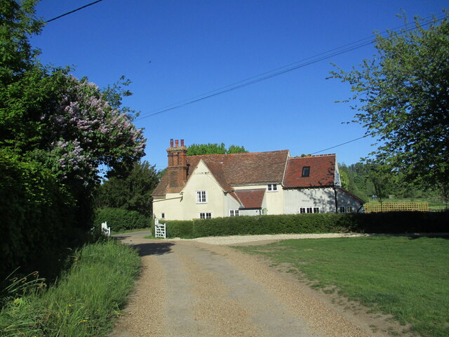
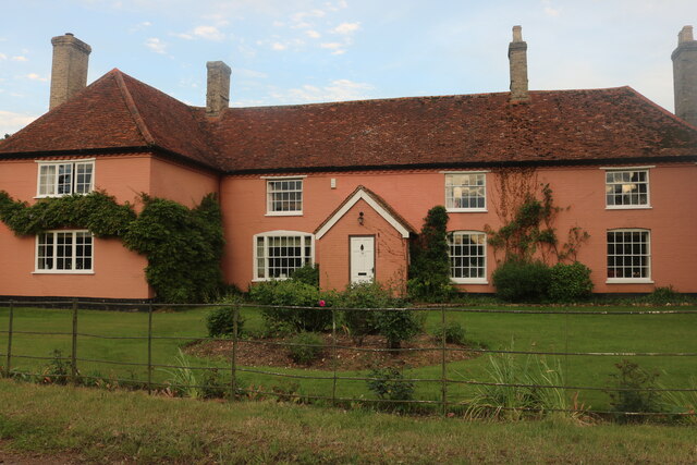
Gifford's Hall is a historic manor house located in the village of Wickhambrook, Suffolk, England. This Grade I listed building dates back to the 16th century and is known for its architectural beauty and historical significance.

The manor house was originally built in the mid-1500s by the Gifford family, who were prominent landowners in the area. The house is a classic example of Tudor architecture, with its timber-framed structure and distinctive thatched roof. It has undergone several alterations over the years, but still retains much of its original character and charm.

The interior of Gifford's Hall is equally impressive, with its grand oak-paneled rooms, ornate fireplaces, and intricate plasterwork ceilings. The house is filled with period furniture, artwork, and historical artifacts that provide a glimpse into the lives of its former inhabitants.

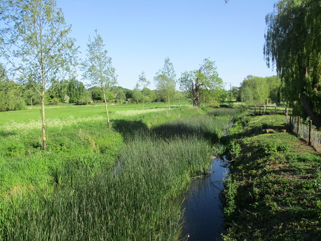
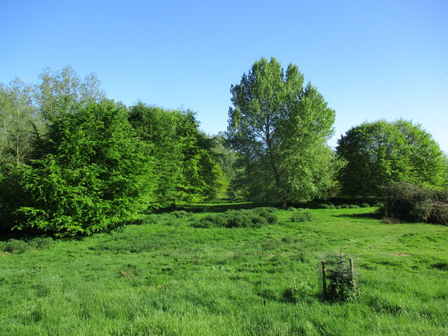
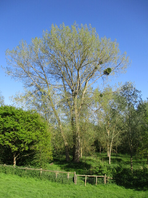
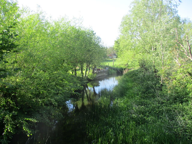
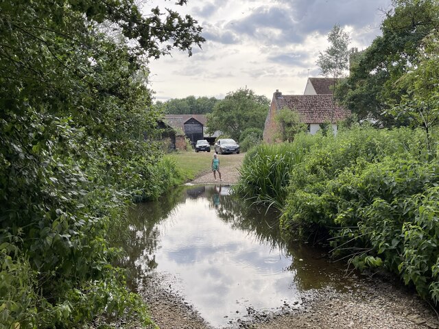
Surrounding the manor house is a picturesque landscape of gardens and parkland. The gardens feature well-manicured lawns, colorful flower beds, and a variety of trees and shrubs. There is also a beautiful moat that adds to the overall allure of the property.

Today, Gifford's Hall is open to the public as a heritage site and offers guided tours, allowing visitors to explore its rich history and experience the grandeur of a bygone era. The house is also available for private events and weddings, providing a unique and memorable setting for special occasions.

Gifford's Hall stands as a testament to the rich architectural heritage of Suffolk and serves as a reminder of the area's historical significance.

If you have any feedback on the listing, please let us know in the comments section below.

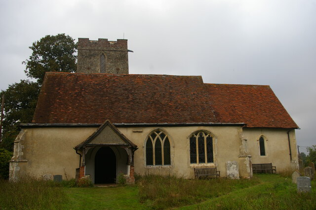
Gifford's Hall Images

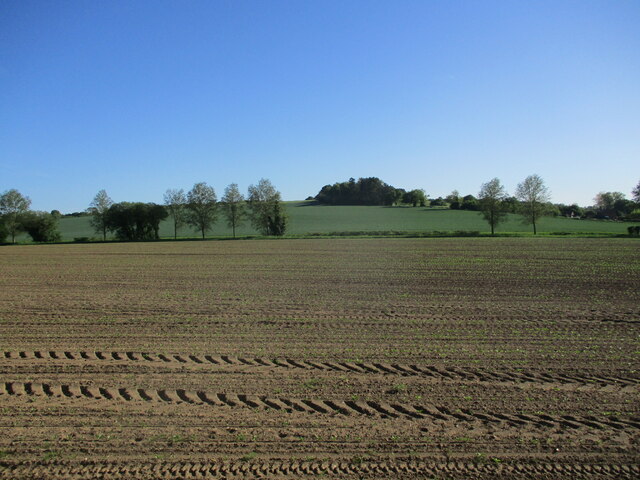
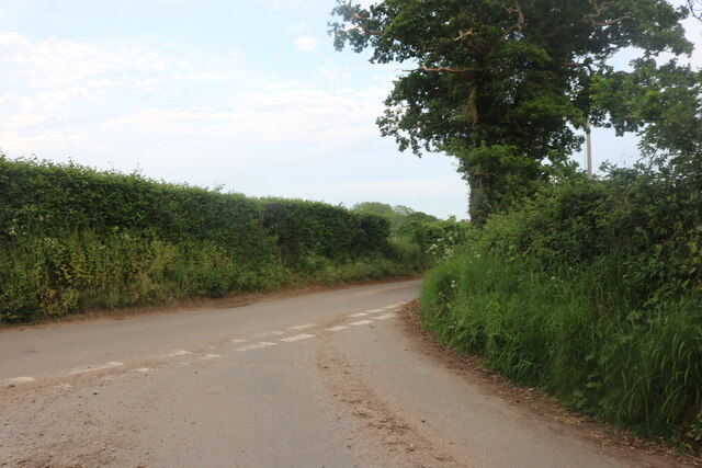
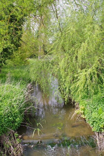
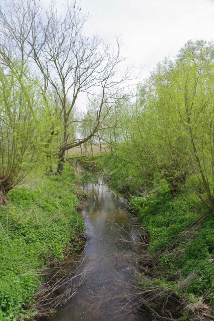
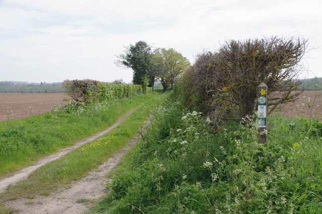
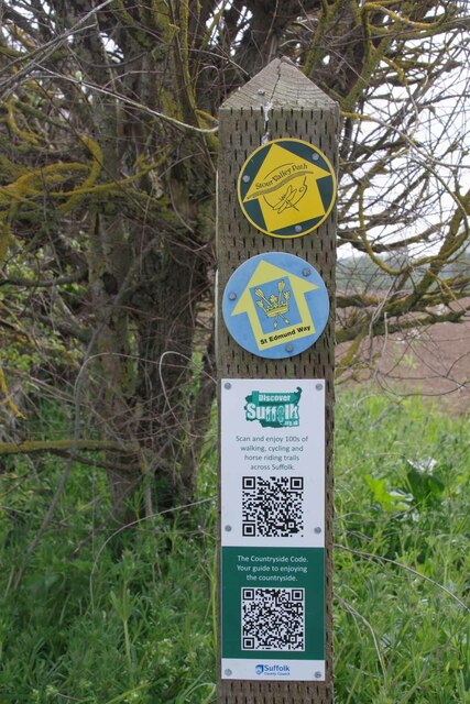
Images are sourced within 2km of 51.998/0.935 or Grid Reference TM0137. Thanks to Geograph Open Source API. All images are credited.

The River Brett at Shelley Bridge Looking downstream.
The River Brett at Shelley Bridge
Looking downstream.
Parkland near Shelley Hall The trees hide a moated site.
Parkland near Shelley Hall
The trees hide a moated site.
All Saints' church, Shelley Largely of the fourteenth century <span class="nowrap"><a title="https://historicengland.org.uk/listing/the-list/list-entry/1351959?section=official-list-entry" rel="nofollow ugc noopener" href="https://historicengland.org.uk/listing/the-list/list-entry/1351959?section=official-list-entry">Link</a><img style="margin-left:2px;" alt="External link" title="External link - shift click to open in new window" src="https://s1.geograph.org.uk/img/external.png" width="10" height="10"/></span>
All Saints' church, Shelley
Largely of the fourteenth century LinkExternal link
Shelley Lodge Fifteenth century cottage with later extensions <span class="nowrap"><a title="https://historicengland.org.uk/listing/the-list/list-entry/1033382?section=official-list-entry" rel="nofollow ugc noopener" href="https://historicengland.org.uk/listing/the-list/list-entry/1033382?section=official-list-entry">Link</a><img style="margin-left:2px;" alt="External link" title="External link - shift click to open in new window" src="https://s1.geograph.org.uk/img/external.png" width="10" height="10"/></span>
Shelley Lodge
Fifteenth century cottage with later extensions LinkExternal link
Tree with mistletoe, Shelley Mistletoe is uncommon in Eastern England. My casual observation suggests that most occurrences are in the grounds of country estates, which suggests it may have been deliberately introduced.
Tree with mistletoe, Shelley
Mistletoe is uncommon in Eastern England. My casual observation suggests that most occurrences are in the grounds of country estates, which suggests it may have been deliberately introduced.
The River Brett at Shelley Bridge Looking upstream.
The River Brett at Shelley Bridge
Looking upstream.
Prepared field and Higham Hill
Junction on Rockalls Road, Polstead
Large cottage on Stoke Road between Polstead and Layham
Becketts Lane near Layham
Avenue of Trees, Polstead
The Studio and Thorington Hall Should you wish you can stay at the National Trust property on the right see <span class="nowrap"><a title="https://www.nationaltrust.org.uk/holidays/suffolk/thorington-hall" rel="nofollow ugc noopener" href="https://www.nationaltrust.org.uk/holidays/suffolk/thorington-hall">Link</a><img style="margin-left:2px;" alt="External link" title="External link - shift click to open in new window" src="https://s1.geograph.org.uk/img/external.png" width="10" height="10"/></span>.
The Studio and Thorington Hall
Should you wish you can stay at the National Trust property on the right see LinkExternal link.
River Box in Thorington Street Looking upstream on this tributary to the River Stour.
River Box in Thorington Street
Looking upstream on this tributary to the River Stour.
Downstream on the River Box You can also see upstream at <a href="https://www.geograph.org.uk/photo/7476854">TM0135 : River Box in Thorington Street</a>.
Downstream on the River Box
You can also see upstream at TM0135 : River Box in Thorington Street.
Langham Mill Lane This is a route with unspecified public access. It is part of the St Edmund Way and Stour Valley Path see <a href="https://www.geograph.org.uk/photo/7476871">TM0135 : St Edmund & Stour Valley Waymarks</a>.
Langham Mill Lane
This is a route with unspecified public access. It is part of the St Edmund Way and Stour Valley Path see TM0135 : St Edmund & Stour Valley Waymarks.
St Edmund & Stour Valley Waymarks Showing the way on the long distance paths. The QR codes still work on geograph!
St Edmund & Stour Valley Waymarks
Showing the way on the long distance paths. The QR codes still work on geograph!
River Box Ford  This ford on the River Box is found beside Valley Farm. We were fortunate to come across a young badger as we ascended the bridleway beyond the pig farm at Rams Farm.
River Box Ford
This ford on the River Box is found beside Valley Farm. We were fortunate to come across a young badger as we ascended the bridleway beyond the pig farm at Rams Farm.
All Saints' church, Shelley
Show me another place!

Gifford's Hall is located at Grid Ref: TM0137 (Lat: 51.998, Lng: 0.935)

Administrative County: Suffolk

District: Babergh

Police Authority: Suffolk

What 3 Words

///direct.mealtime.brimmed. Near Hadleigh, Suffolk

Related Wikis

Giffords Hall, Stoke-by-Nayland

Giffords Hall (also called Gifford's Hall) is a Tudor manor house near Stoke-by-Nayland in Suffolk, England. It was described by Nikolaus Pevsner as “one...

Withermarsh Green

Withermarsh Green is a village in the civil parish of Stoke-by-Nayland, in the Babergh district, in the county of Suffolk, England. It is located near...

Shelley, Suffolk

Shelley is a small village and civil parish in Suffolk, England. Located on the west bank of the River Brett around three miles south of Hadleigh, it is...

Thorington Street

Thorington Street is a large hamlet on the B1068 road, in the Babergh district, in the English county of Suffolk. The hamlet is part of the civil parish...

Have you been to Gifford's Hall?

Leave your review of Gifford's Hall below (or comments, questions and feedback).