Chapel Wood
Wood, Forest in Suffolk Babergh
England
Chapel Wood
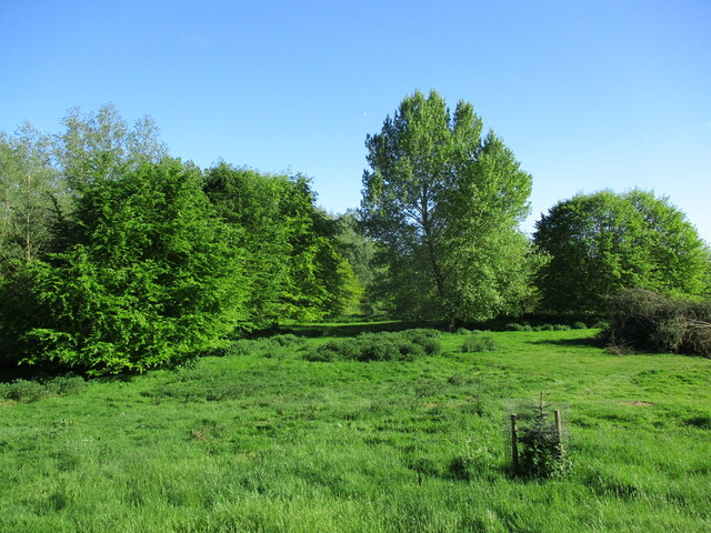
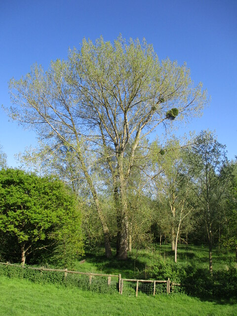
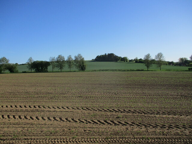
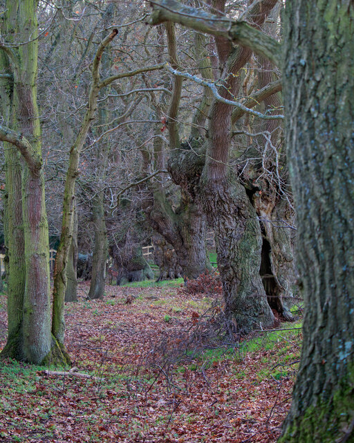
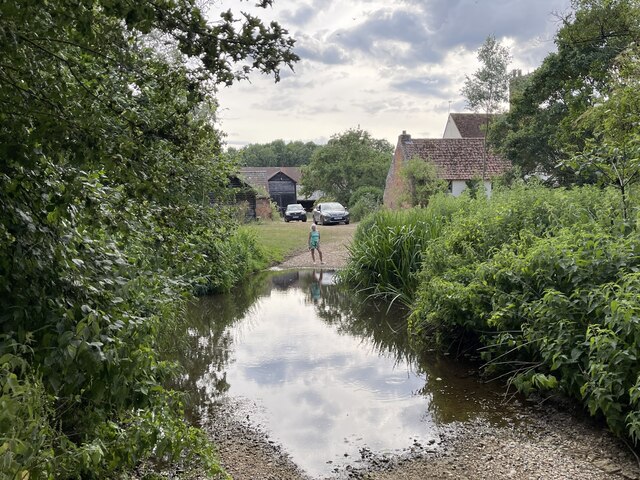
Chapel Wood is a picturesque woodland located in Suffolk, England. Situated near the village of Chapel, the wood covers an area of approximately 50 acres and is known for its serene beauty and rich biodiversity.
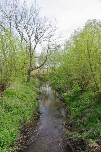
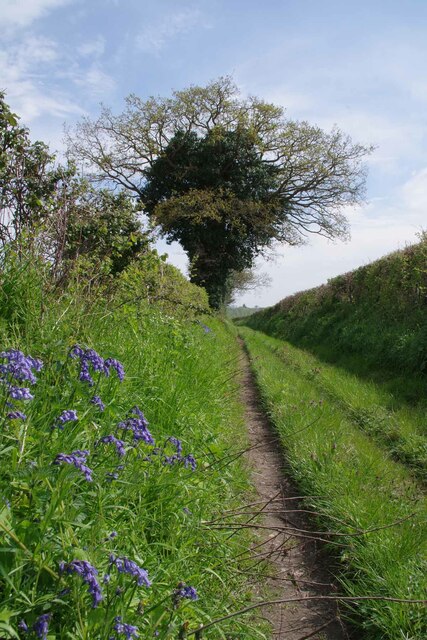
The woodland is primarily composed of a mix of deciduous and coniferous trees, including oak, beech, and pine. The dense foliage creates a peaceful and secluded atmosphere, making it a popular spot for nature lovers and hikers seeking tranquility.
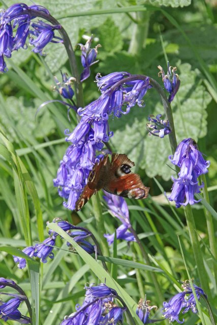
Chapel Wood is home to a diverse range of wildlife. Visitors may spot various bird species, such as woodpeckers, owls, and thrushes, as well as small mammals like squirrels and rabbits. The wood also supports a variety of plant life, including bluebells, primroses, and wild garlic, which add bursts of color to the woodland floor during springtime.
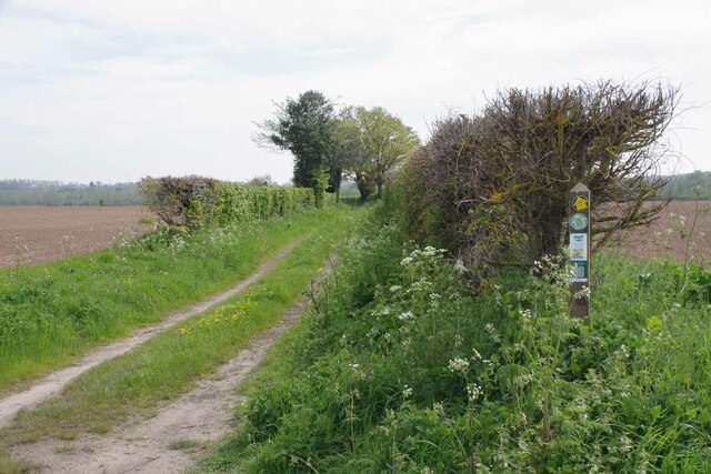
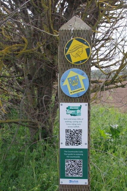
The wood has a network of well-maintained footpaths and trails, allowing visitors to explore its natural wonders. These paths wind through the trees, offering glimpses of sunlight filtering through the canopy and creating a magical atmosphere.
Chapel Wood is managed by a local conservation organization, which ensures its preservation and protection. The wood is open to the public year-round and provides a peaceful retreat for those seeking a respite from the hustle and bustle of daily life. Whether it's a leisurely stroll, a picnic, or birdwatching, Chapel Wood offers a delightful natural escape for visitors of all ages.
If you have any feedback on the listing, please let us know in the comments section below.
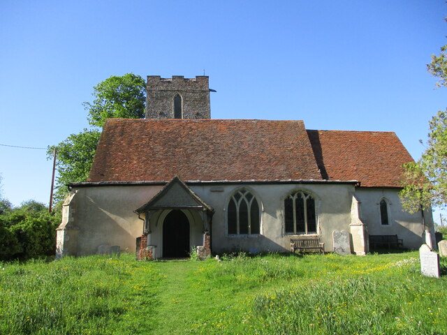
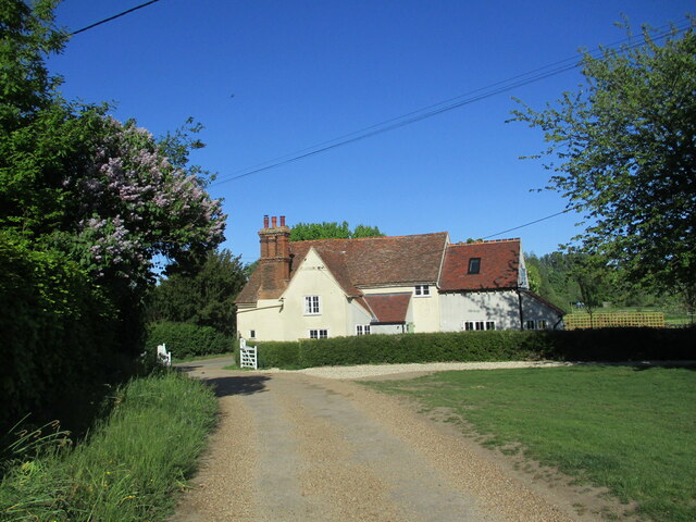
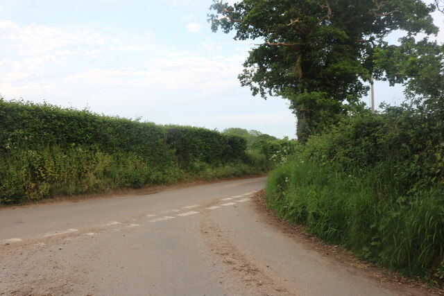
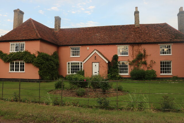
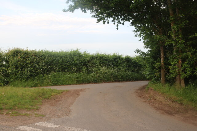
Chapel Wood Images
Images are sourced within 2km of 51.995958/0.93564092 or Grid Reference TM0137. Thanks to Geograph Open Source API. All images are credited.
Chapel Wood is located at Grid Ref: TM0137 (Lat: 51.995958, Lng: 0.93564092)
Administrative County: Suffolk
District: Babergh
Police Authority: Suffolk
What 3 Words
///aquatics.congas.bidder. Near Dedham, Essex
Nearby Locations
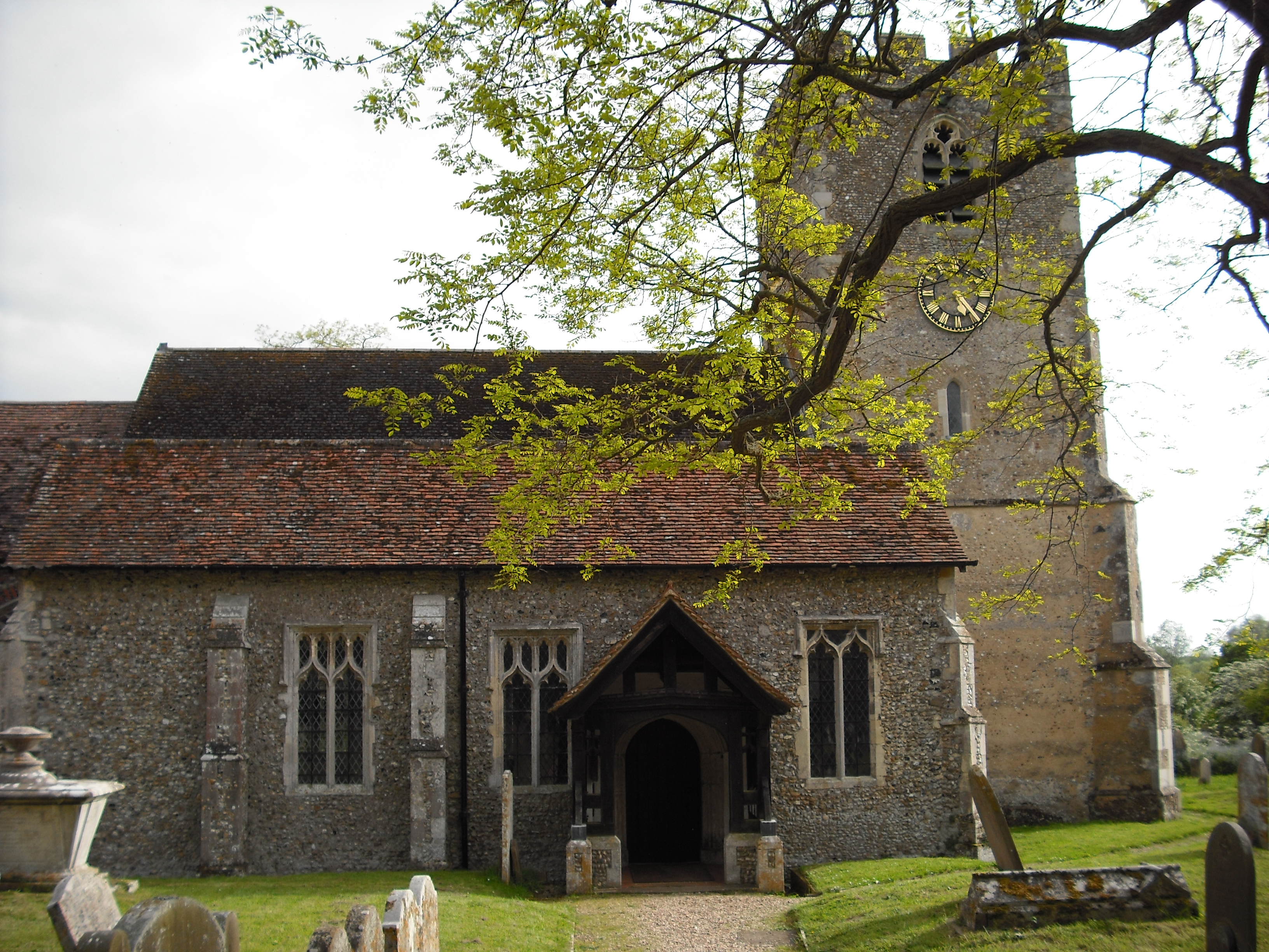
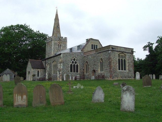
Related Wikis

Giffords Hall, Stoke-by-Nayland
Giffords Hall (also called Gifford's Hall) is a Tudor manor house near Stoke-by-Nayland in Suffolk, England. It was described by Nikolaus Pevsner as “one...

Withermarsh Green
Withermarsh Green is a village in the civil parish of Stoke-by-Nayland, in the Babergh district, in the county of Suffolk, England. It is located near...

Shelley, Suffolk
Shelley is a small village and civil parish in Suffolk, England. Located on the west bank of the River Brett around three miles south of Hadleigh, it is...

Thorington Street
Thorington Street is a large hamlet on the B1068 road, in the Babergh district, in the English county of Suffolk. The hamlet is part of the civil parish...
Higham, Babergh
Higham is a village and civil parish in Suffolk, England. Located on the eastern bank of the River Brett (which defines the parish's western boundary)...

South Suffolk (UK Parliament constituency)
South Suffolk is a constituency represented in the House of Commons of the UK Parliament since 2015 by James Cartlidge, a Conservative. == History == South...
Polstead
Polstead is a village and civil parish in the Babergh district of Suffolk, England. The village lies 3 miles (4.8 km) northeast of Nayland, 5 miles (8...

River Box
The River Box is a small river, 14 miles (23 km) in length, that flows through Suffolk, England. It is a tributary of the River Stour. == Toponymy == The...
Nearby Amenities
Located within 500m of 51.995958,0.93564092Have you been to Chapel Wood?
Leave your review of Chapel Wood below (or comments, questions and feedback).