Brickyard Plantation

Wood, Forest in Norfolk North Norfolk

England

Brickyard Plantation

Sugar beet near Raw Hall A late-afternoon view of a good-looking crop.
Sugar beet near Raw Hall Credit: Mary and Angus Hogg

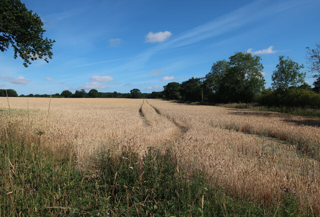
Brickyard Plantation in Norfolk is a wooded area located in the southeastern part of the city. This forested area covers approximately 100 acres and is home to a variety of native trees and wildlife. The plantation is known for its dense canopy of trees, including oak, pine, and hickory, which provide a habitat for birds, squirrels, and other small animals.

Visitors to Brickyard Plantation can enjoy hiking and exploring the numerous trails that wind through the woods. The peaceful atmosphere and natural beauty of the area make it a popular destination for nature lovers and outdoor enthusiasts.

In addition to its recreational opportunities, Brickyard Plantation also serves as an important green space in the city, providing a valuable habitat for wildlife and helping to improve air quality in the surrounding area. The plantation is actively managed to preserve its natural ecosystem and ensure the health and sustainability of the forest for future generations to enjoy.

If you have any feedback on the listing, please let us know in the comments section below.

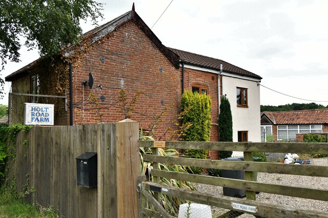
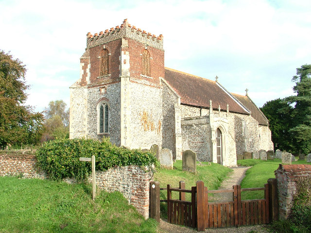
Brickyard Plantation Images

Images are sourced within 2km of 52.827244/0.99563392 or Grid Reference TG0129. Thanks to Geograph Open Source API. All images are credited.

Sugar beet near Raw Hall A late-afternoon view of a good-looking crop.
Sugar beet near Raw Hall
A late-afternoon view of a good-looking crop.
Fulmodeston Road
Fulmodeston Road
Field by Fulmodeston Road
Wood Norton: Village Sign
Wood Norton: 'Severals Grange' and 'The Small Barn'
Wood Norton: Holt Road Farm
Wood Norton: Sugar beet crop
Wood Norton: Paddock
Old Milestone Old milestone on the B1110 near to Swanton Movers, Norfolk. For overall view see <a title="https://www.geograph.org.uk/photo/3793113" href="https://www.geograph.org.uk/photo/3793113">Link</a>
Old Milestone
Old milestone on the B1110 near to Swanton Movers, Norfolk. For overall view see Link
To Dereham 12 Old milestone on the B1110 near to Swanton Novers, Norfolk. For close up view see <a title="https://www.geograph.org.uk/photo/3793110" href="https://www.geograph.org.uk/photo/3793110">Link</a>
To Dereham 12
Old milestone on the B1110 near to Swanton Novers, Norfolk. For close up view see Link
Old Milestone Old milestone on the B1110 near to Swanton Novers, Norfolk. For overall view see <a title="https://www.geograph.org.uk/photo/3793123" href="https://www.geograph.org.uk/photo/3793123">Link</a>
Old Milestone
Old milestone on the B1110 near to Swanton Novers, Norfolk. For overall view see Link
To Dereham 11 Old milestone on the B1110 near to Swanton Novers, Norfolk. For close up view see <a title="https://www.geograph.org.uk/photo/3793121" href="https://www.geograph.org.uk/photo/3793121">Link</a>
To Dereham 11
Old milestone on the B1110 near to Swanton Novers, Norfolk. For close up view see Link
Farm track by Gill's Covert The woodland can be seen in the background.
Farm track by Gill's Covert
The woodland can be seen in the background.
Trees growing on field boundary
WW2 Drem Q Station The Fulmodeston Drem Q shelter with its blast wall seen at left.
WW2 Drem Q Station
The Fulmodeston Drem Q shelter with its blast wall seen at left.
WW2 Drem Q Station View towards the entrance and shelter for the lamp operator.
WW2 Drem Q Station
View towards the entrance and shelter for the lamp operator.
WW2 Drem Q Station Entrance and shelter with the motor headlamp platform above.
WW2 Drem Q Station
Entrance and shelter with the motor headlamp platform above.
Show me another place!

Brickyard Plantation is located at Grid Ref: TG0129 (Lat: 52.827244, Lng: 0.99563392)

Administrative County: Norfolk

District: North Norfolk

Police Authority: Norfolk

What 3 Words

///signified.learns.highways. Near Foulsham, Norfolk

Nearby Locations

Brickyard Plantation

Related Wikis

Hindolveston

Hindolveston is a village and civil parish in the English county of Norfolk. The village is 17.5 miles (28.2 km) west-south-west of Cromer, 20.8 miles...

Corpusty

Corpusty is a village and former civil parish, now in the parish of Corpusty and Saxthorpe, in the North Norfolk district, in the county of Norfolk, England...

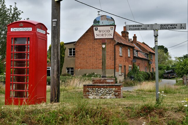
Wood Norton, Norfolk

Wood Norton is a village and civil parish in the English county of Norfolk. It is located 10 km (6.2 mi) east of Fakenham and 30 km (19 mi) north-west...

Swanton Novers Woods

Swanton Novers Woods is an 83-hectare (210-acre) biological Site of Special Scientific Interest east of Fakenham in Norfolk. The site is composed of Swanton...

Nearby Amenities

Located within 500m of 52.827244,0.99563392
Source: Bing
Lat/Long: 52.8312398/0.9947346
The data included in this document is from www.openstreetmap.org. The data is made available under ODbL.

Have you been to Brickyard Plantation?

Leave your review of Brickyard Plantation below (or comments, questions and feedback).