Eleven Acre Wood

Wood, Forest in Kent Ashford

England

Eleven Acre Wood

Junction of Malthouse Lane and B2067 near Hamstreet
Junction of Malthouse Lane and B2067 near Hamstreet Credit: Ron Lee

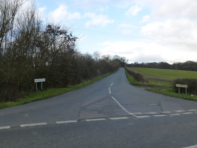
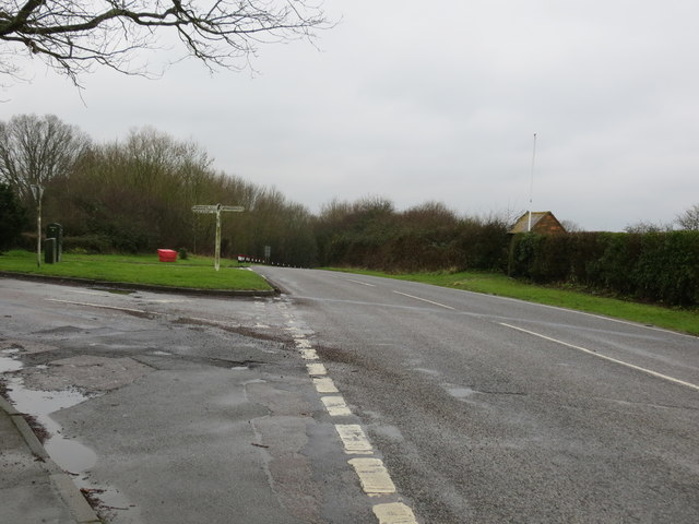
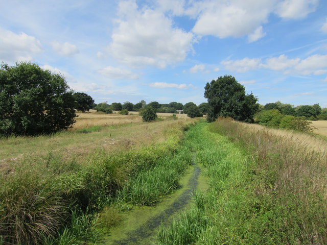
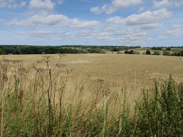
Eleven Acre Wood is a beautiful forest located in the county of Kent, England. Spanning an area of approximately 11 acres, this woodland is a cherished natural gem in the region. The wood is situated in a rural setting, surrounded by picturesque countryside, and offers a tranquil escape to visitors.

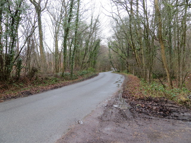
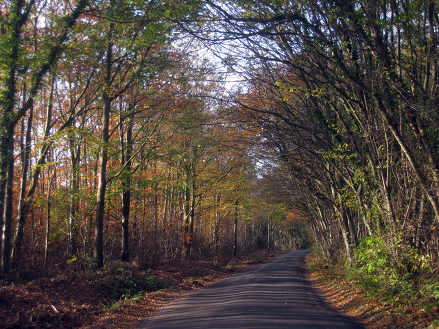
The forest is characterized by its dense canopy of trees, creating a shady and serene environment. The wood is predominantly composed of native tree species such as oak, beech, and birch, which provide a rich habitat for various wildlife and bird species.

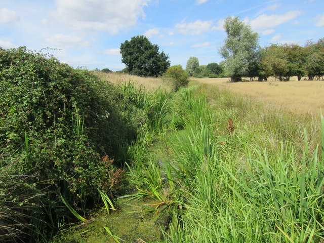
Eleven Acre Wood boasts a network of well-maintained walking trails that wind through the forest, allowing visitors to explore its natural wonders at their own pace. These paths offer a chance to observe the diverse flora and fauna that call the wood home, including bluebells, wild garlic, and woodpeckers.

The wood is a popular destination for nature enthusiasts, hikers, and families seeking outdoor activities. It provides ample opportunities for picnicking, birdwatching, and photography. The tranquility of the surroundings makes it an ideal spot for relaxation and meditation.

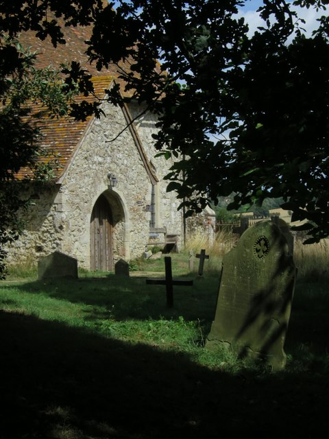
Eleven Acre Wood is also a site of historical significance, with remnants of ancient settlements and archaeological features scattered throughout the area. The wood's rich history adds an extra layer of intrigue to its already captivating natural beauty.

Overall, Eleven Acre Wood is a remarkable woodland that offers a peaceful retreat and a chance to connect with nature. Its idyllic setting, diverse wildlife, and convenient trails make it a must-visit destination for those seeking a respite from the hustle and bustle of everyday life.

If you have any feedback on the listing, please let us know in the comments section below.

Eleven Acre Wood Images

Images are sourced within 2km of 51.0701/0.81909384 or Grid Reference TQ9733. Thanks to Geograph Open Source API. All images are credited.

Junction of Malthouse Lane and B2067 near Hamstreet
Malthouse Lane Looking southward through Faggs and Apsley Woods.
Malthouse Lane
Looking southward through Faggs and Apsley Woods.
Ordnance Survey Flush Bracket G1866 This can be found on the wall of a former chapel - now a private dwelling - beside the B2067 near Warehorn.
For more detail see : <span class="nowrap"><a title="http://www.bench-marks.org.uk/bm14987" rel="nofollow ugc noopener" href="http://www.bench-marks.org.uk/bm14987">Link</a><img style="margin-left:2px;" alt="External link" title="External link - shift click to open in new window" src="https://s1.geograph.org.uk/img/external.png" width="10" height="10"/></span>
Ordnance Survey Flush Bracket G1866
This can be found on the wall of a former chapel - now a private dwelling - beside the B2067 near Warehorn. For more detail see : LinkExternal link
Road (B2067) at its junction with the lane to Warhorne Looking south-westward.
Road (B2067) at its junction with the lane to Warhorne
Looking south-westward.
Ordnance Survey Flush Bracket 2846 This can be found on the roadside wall of a house at Manor Farm.
For more detail see : <span class="nowrap"><a title="http://www.bench-marks.org.uk/bm11994" rel="nofollow ugc noopener" href="http://www.bench-marks.org.uk/bm11994">Link</a><img style="margin-left:2px;" alt="External link" title="External link - shift click to open in new window" src="https://s1.geograph.org.uk/img/external.png" width="10" height="10"/></span>
Ordnance Survey Flush Bracket 2846
This can be found on the roadside wall of a house at Manor Farm. For more detail see : LinkExternal link
Road at Manor Farm Looking south-westward in the direction of Sly Corner.
Road at Manor Farm
Looking south-westward in the direction of Sly Corner.
Warehorne Grade I listed.
The oldest part of the church is circa 1200, although the Domesday Book states there was a previous church here.
The aisles and chancel are 14th C. There is no chancel arch. An original western stone tower was completed mid 15th C. 
The tower was struck by lightning in 1770 and was rebuilt in brick, the original tower arch surviving.
Both aisles are 3 bay arcades with round piers of Bethersden marble with coloured stratification.
The north aisle was probably originally a lady chapel with the glass at the top of the north east window original 14th C. Remains of openings to the rood loft can be seen. Original king posts in the roof.
The south aisle had a chapel to St Catherine, patron saint of wool. Indeed the pub opposite the church is "The Woolpack".
There was originally a musicians gallery, removed in 1889.
There are box pews and text and commandment boards throughout this light and airy church, partially due to lack of stained glass.
Warehorne
Grade I listed. The oldest part of the church is circa 1200, although the Domesday Book states there was a previous church here. The aisles and chancel are 14th C. There is no chancel arch. An original western stone tower was completed mid 15th C. The tower was struck by lightning in 1770 and was rebuilt in brick, the original tower arch surviving. Both aisles are 3 bay arcades with round piers of Bethersden marble with coloured stratification. The north aisle was probably originally a lady chapel with the glass at the top of the north east window original 14th C. Remains of openings to the rood loft can be seen. Original king posts in the roof. The south aisle had a chapel to St Catherine, patron saint of wool. Indeed the pub opposite the church is "The Woolpack". There was originally a musicians gallery, removed in 1889. There are box pews and text and commandment boards throughout this light and airy church, partially due to lack of stained glass.
Tinton Manor Farm
Tinton Manor Farm
Woolpack Inn, Warehorne
The Woolpack Inn, Warehorne
The Woolpack Inn sign Sign for [[[5876075]]
The Woolpack Inn sign
Sign for [[[5876075]]
Footbridges towards Kenardington churchyard
Horsemarsh Sewer
Horsemarsh Sewer
Horsemarsh Sewer
Horsemarsh Sewer
St Mary's Church, Kenardington
Wheat field by St Mary's Church, Kenardington
Tractor off Church Lane
St Marys Church Kenardington The 204 parishes of the Diocese of Canterbury are divided among the following 15 Deaneries:
Ashford
Bridge (East)
Bridge (West)
Canterbury
Dover
Elham
Maidstone
North Downs
Ospringe
Reculver
Romney & Tenterden
Sandwich
Sittingbourne
Thanet
Weald
<span class="nowrap"><a title="https://www.canterburydiocese.org/acny" rel="nofollow ugc noopener" href="https://www.canterburydiocese.org/acny">Link</a><img style="margin-left:2px;" alt="External link" title="External link - shift click to open in new window" src="https://s1.geograph.org.uk/img/external.png" width="10" height="10"/></span> to map
St Marys Church Kenardington
The 204 parishes of the Diocese of Canterbury are divided among the following 15 Deaneries: Ashford Bridge (East) Bridge (West) Canterbury Dover Elham Maidstone North Downs Ospringe Reculver Romney & Tenterden Sandwich Sittingbourne Thanet Weald LinkExternal link to map
Show me another place!

Eleven Acre Wood is located at Grid Ref: TQ9733 (Lat: 51.0701, Lng: 0.81909384)

Administrative County: Kent

District: Ashford

Police Authority: Kent

What 3 Words

///quintet.grins.strut. Near Woodchurch, Kent

Related Wikis

Kenardington

Kenardington is a small clustered village and the centre of a relatively small rural civil parish of the same name, in the Ashford District of Kent, England...

Leacon Hall

Leacon Hall, Warehorne, Kent, England, is a grade II* listed building constructed for Thomas Hodges in 1708. == Description == The house remains on a low...

Orlestone Forest

Orlestone Forest is a 347.6-hectare (859-acre) biological Site of Special Scientific Interest south of Ashford in Kent. It is a Nature Conservation Review...

Warehorne

Warehorne is a village and civil parish in the south of the Ashford Borough of Kent, England. It is a scattered community centred on the Hamstreet to Tenterden...

Canterbury Oast Trust

Canterbury Oast Trust (COT) is a registered charity in England which sets up, manages and supports businesses providing work and training for people with...

Royal Military Canal Path

The Royal Military Canal Path is a long-distance path in England, mainly following the Royal Military Canal. Its end points are Seabrook, Kent (51.0720...

Ham Street railway station

Ham Street railway station is a Grade II listed stop on the Marshlink line in the village of Hamstreet, Kent, between Ashford International and Hastings...

Woodchurch, Kent

There is another Woodchurch in Kent, a hamlet in the Manston civil parish within the Thanet district.Woodchurch is a Kent village, the largest civil parish...

Nearby Amenities

Located within 500m of 51.0701,0.81909384
Barrier: stile
Lat/Long: 51.0732253/0.8150302
Adams Wood
Place: locality
Lat/Long: 51.0716447/0.8216578
Birch Wood
Place: locality
Lat/Long: 51.0674169/0.8170051
Yalden Wood
Place: locality
Lat/Long: 51.0692972/0.8155004
The data included in this document is from www.openstreetmap.org. The data is made available under ODbL.

Have you been to Eleven Acre Wood?

Leave your review of Eleven Acre Wood below (or comments, questions and feedback).