Penfold Wood

Wood, Forest in Kent Ashford

England

Penfold Wood

Junction of Malthouse Lane and B2067 near Hamstreet
Junction of Malthouse Lane and B2067 near Hamstreet Credit: Ron Lee

Penfold Wood, located in Kent, England, is a picturesque forest spanning an area of approximately 100 acres. This woodland is part of the larger Blean Woods complex, which covers around 11 square kilometers. Penfold Wood boasts a diverse range of flora and fauna, making it a haven for nature enthusiasts and wildlife lovers.

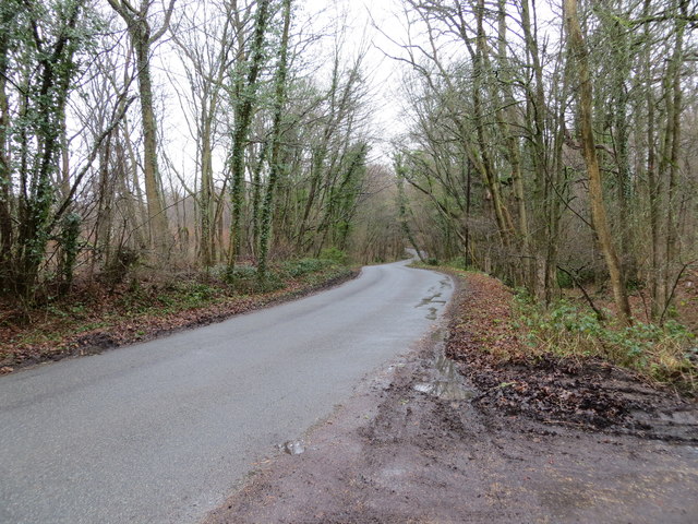
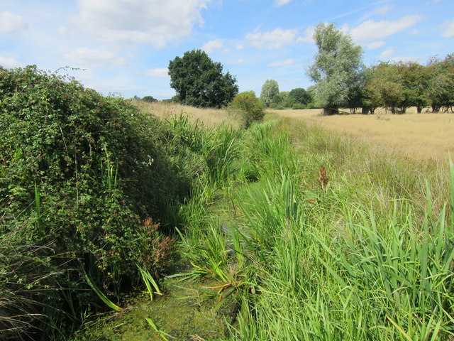
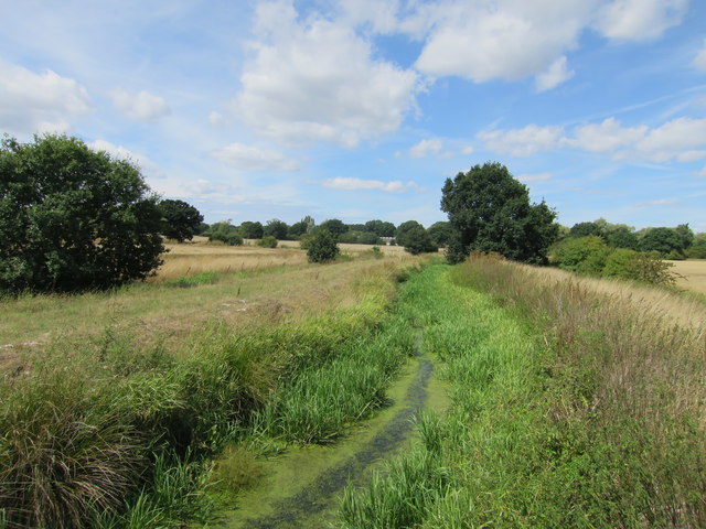
The woodland is predominantly composed of oak and birch trees, interspersed with patches of hazel and holly. These trees provide a dense canopy, creating a shaded and tranquil atmosphere within the forest. The forest floor is covered with an array of wildflowers, including bluebells, primroses, and wood anemones, which bloom in vibrant colors during the spring months.

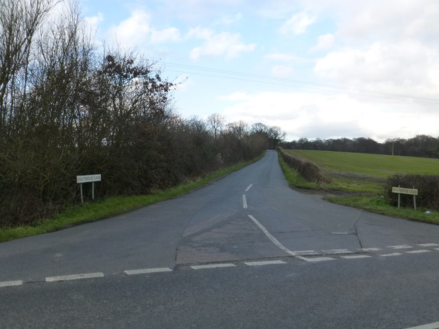
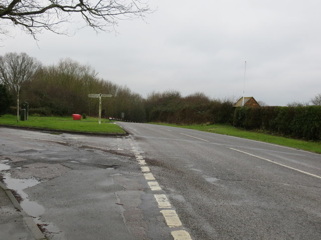
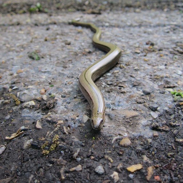
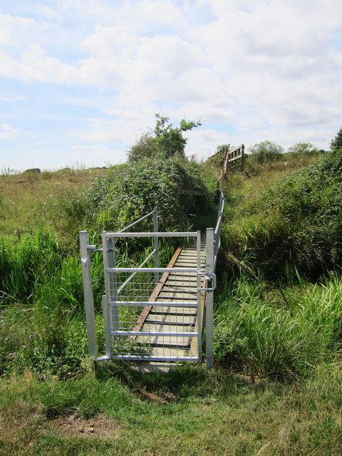
The forest is crisscrossed by a network of walking trails, making it an ideal location for hikers and walkers. These paths wind through the woods, offering visitors the opportunity to explore the diverse habitats and encounter the rich wildlife that inhabits the area. Birdwatchers can spot a variety of species, such as woodpeckers, nuthatches, and tawny owls, while small mammals like foxes, badgers, and squirrels are also commonly sighted.

Penfold Wood is managed by a local conservation organization, which ensures that the woodland remains protected and preserved for future generations to enjoy. The forest is accessed through designated entrances, where visitors can find information boards detailing the site's history, ecology, and any notable features or events.

Whether it is a leisurely walk, a birdwatching expedition, or simply a peaceful escape into nature, Penfold Wood offers a serene and captivating experience for all who venture into its enchanting depths.

If you have any feedback on the listing, please let us know in the comments section below.
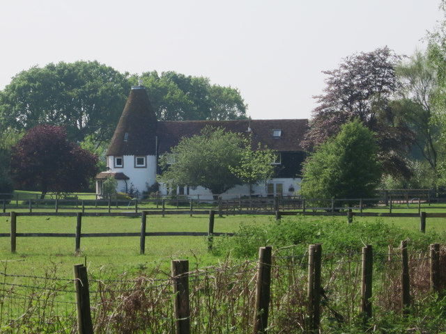
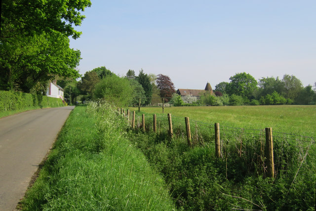
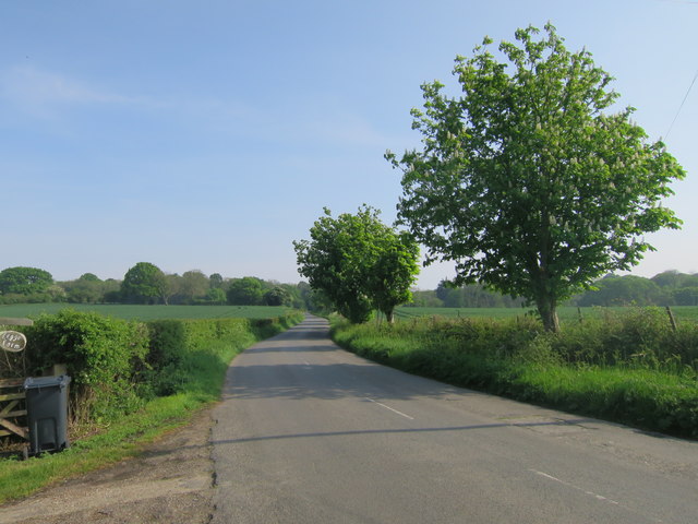
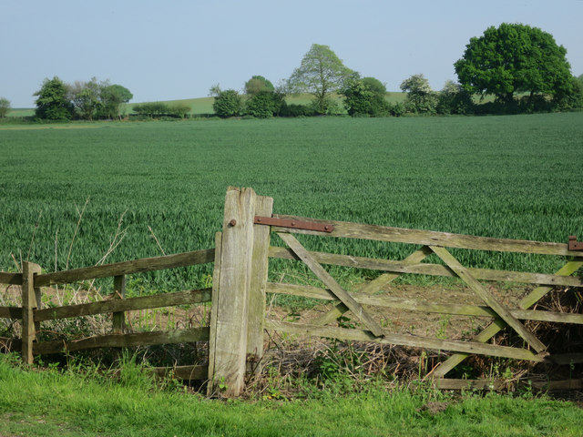
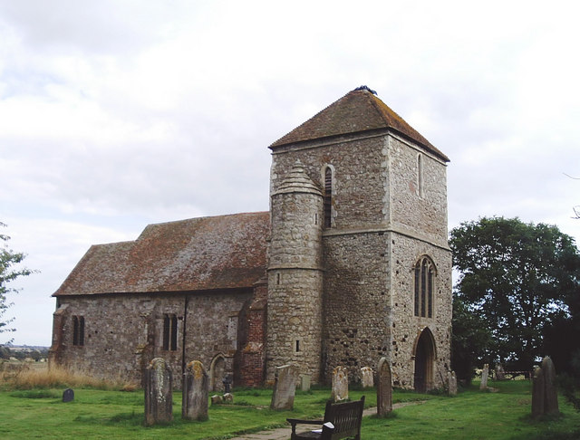
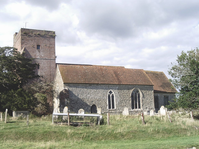
Penfold Wood Images

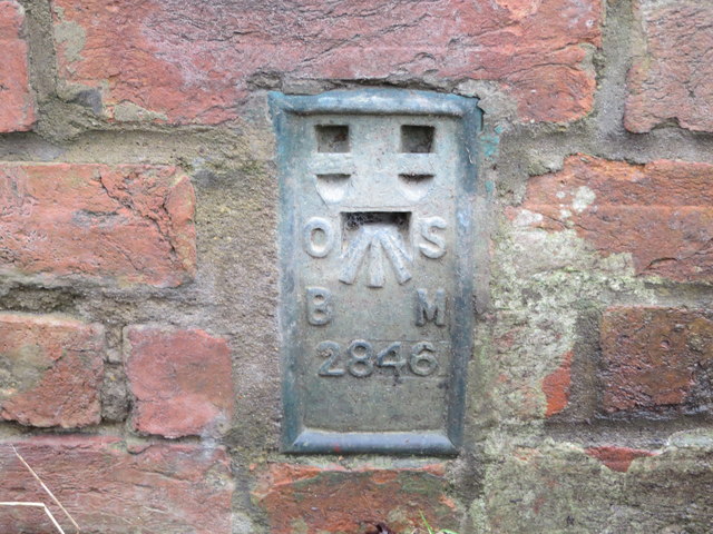
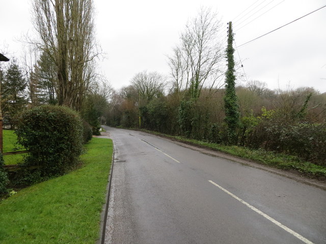
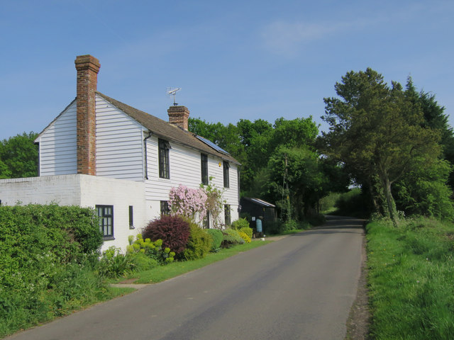
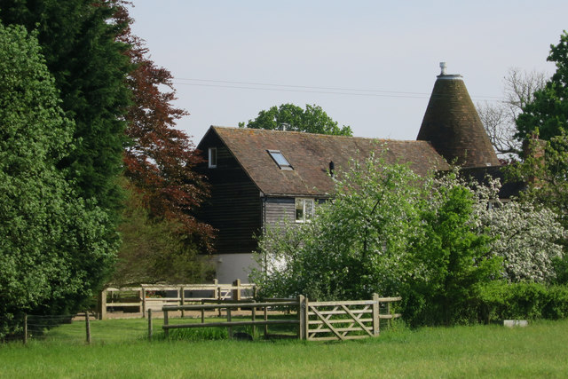
Images are sourced within 2km of 51.068034/0.81265855 or Grid Reference TQ9733. Thanks to Geograph Open Source API. All images are credited.

Junction of Malthouse Lane and B2067 near Hamstreet
Malthouse Lane Looking southward through Faggs and Apsley Woods.
Malthouse Lane
Looking southward through Faggs and Apsley Woods.
Ordnance Survey Flush Bracket G1866 This can be found on the wall of a former chapel - now a private dwelling - beside the B2067 near Warehorn.
For more detail see : <span class="nowrap"><a title="http://www.bench-marks.org.uk/bm14987" rel="nofollow ugc noopener" href="http://www.bench-marks.org.uk/bm14987">Link</a><img style="margin-left:2px;" alt="External link" title="External link - shift click to open in new window" src="https://s1.geograph.org.uk/img/external.png" width="10" height="10"/></span>
Ordnance Survey Flush Bracket G1866
This can be found on the wall of a former chapel - now a private dwelling - beside the B2067 near Warehorn. For more detail see : LinkExternal link
Road (B2067) at its junction with the lane to Warhorne Looking south-westward.
Road (B2067) at its junction with the lane to Warhorne
Looking south-westward.
Ordnance Survey Flush Bracket 2846 This can be found on the roadside wall of a house at Manor Farm.
For more detail see : <span class="nowrap"><a title="http://www.bench-marks.org.uk/bm11994" rel="nofollow ugc noopener" href="http://www.bench-marks.org.uk/bm11994">Link</a><img style="margin-left:2px;" alt="External link" title="External link - shift click to open in new window" src="https://s1.geograph.org.uk/img/external.png" width="10" height="10"/></span>
Ordnance Survey Flush Bracket 2846
This can be found on the roadside wall of a house at Manor Farm. For more detail see : LinkExternal link
Road at Manor Farm Looking south-westward in the direction of Sly Corner.
Road at Manor Farm
Looking south-westward in the direction of Sly Corner.
Hornbrook Cottage
Hornbrook Cottage
Hornbrook Oast, Appledore Road, Woodchurch Single round kiln oast house, missing cowl. Black weatherboard stowage.
Hornbrook Oast, Appledore Road, Woodchurch
Single round kiln oast house, missing cowl. Black weatherboard stowage.
Hornbrook Oast, Appledore Road, Woodchurch Single round kiln oast house, missing cowl. Black weatherboard stowage.
Hornbrook Oast, Appledore Road, Woodchurch
Single round kiln oast house, missing cowl. Black weatherboard stowage.
Hornbrook Oast & Appledore Road
Appledore Road Towards Appledore.
Appledore Road
Towards Appledore.
Crop field by Appledore Road
Slow worm crossing
Slow worm crossing
Sly Corner Grade II listed <span class="nowrap"><a title="https://www.historicengland.org.uk/listing/the-list/list-entry/1116474" rel="nofollow ugc noopener" href="https://www.historicengland.org.uk/listing/the-list/list-entry/1116474">Link</a><img style="margin-left:2px;" alt="External link" title="External link - shift click to open in new window" src="https://s1.geograph.org.uk/img/external.png" width="10" height="10"/></span>
Sly Corner
Grade II listed LinkExternal link
Footbridges towards Kenardington churchyard
Horsemarsh Sewer
Horsemarsh Sewer
Horsemarsh Sewer
Horsemarsh Sewer
Show me another place!

Penfold Wood is located at Grid Ref: TQ9733 (Lat: 51.068034, Lng: 0.81265855)

Administrative County: Kent

District: Ashford

Police Authority: Kent

What 3 Words

///horseshoe.blissful.kilowatt. Near Woodchurch, Kent

Related Wikis

Kenardington

Kenardington is a small clustered village and the centre of a relatively small rural civil parish of the same name, in the Ashford District of Kent, England...

Canterbury Oast Trust

Canterbury Oast Trust (COT) is a registered charity in England providing accommodation, care and training for people with learning disabilities in Kent...

Leacon Hall

Leacon Hall, Warehorne, Kent, England, is a grade II* listed building constructed for Thomas Hodges in 1708. == Description == The house remains on a low...

Warehorne

Warehorne is a village and civil parish in the south of the Ashford Borough of Kent, England. It is a scattered community centred on the Hamstreet to Tenterden...

Nearby Amenities

Located within 500m of 51.068034,0.81265855
Birch Wood
Place: locality
Lat/Long: 51.0674169/0.8170051
Penfold Wood
Place: locality
Lat/Long: 51.0680038/0.8120585
Taylor Wood
Place: locality
Lat/Long: 51.0693624/0.8095851
Wadland Wood
Place: locality
Lat/Long: 51.0713186/0.8121277
Yalden Wood
Place: locality
Lat/Long: 51.0692972/0.8155004
The data included in this document is from www.openstreetmap.org. The data is made available under ODbL.

Have you been to Penfold Wood?

Leave your review of Penfold Wood below (or comments, questions and feedback).