Wadland Wood
Wood, Forest in Kent Ashford
England
Wadland Wood
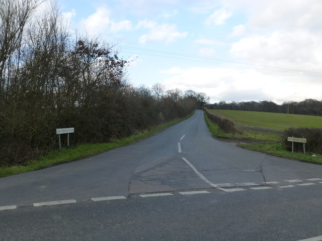
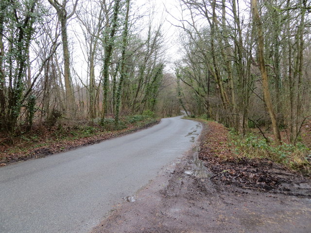
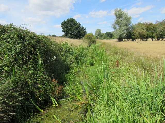
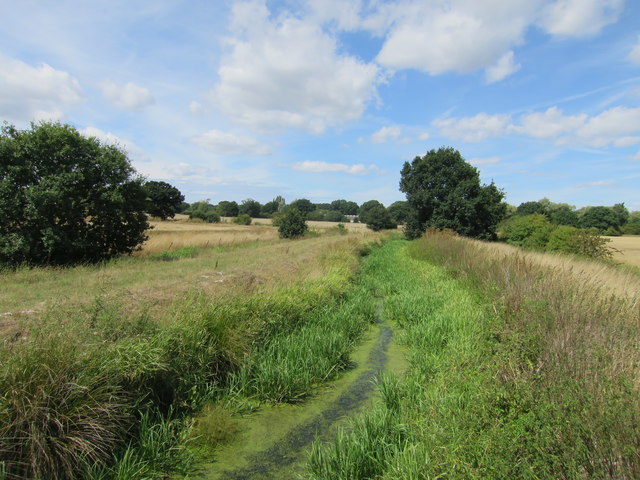
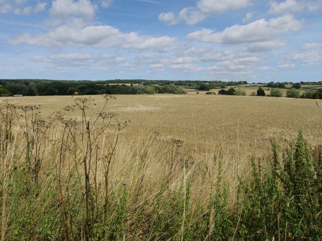
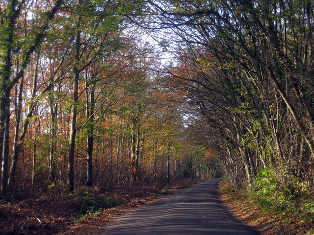
Wadland Wood is a picturesque forest located in Kent, England. Covering an area of approximately 200 acres, it is situated near the village of Wootton. The wood is predominantly made up of a mix of broadleaf and coniferous trees, creating a diverse and vibrant ecosystem.
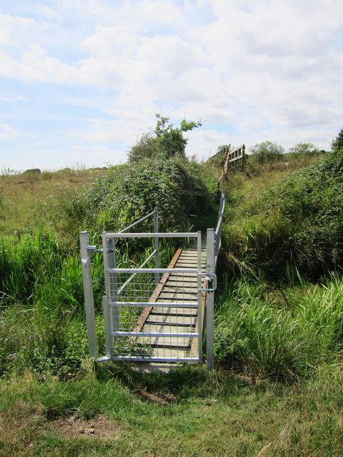
As visitors enter Wadland Wood, they are greeted by a well-maintained network of walking trails that wind through the forest. These trails offer a variety of experiences, from gentle strolls to more challenging hikes, catering to all levels of fitness. Along the way, visitors can enjoy the tranquil surroundings and immerse themselves in the natural beauty that the wood has to offer.
The forest is home to a wide range of flora and fauna, providing habitats for various species of birds, mammals, and insects. Nature enthusiasts can expect to spot woodland birds such as woodpeckers, nuthatches, and treecreepers, as well as mammals like deer and squirrels. The forest floor is also adorned with a carpet of wildflowers during the spring and summer months, adding a burst of color to the woodland landscape.
Wadland Wood is a popular destination for outdoor activities such as nature walks, birdwatching, and photography. It offers a peaceful retreat from the hustle and bustle of everyday life, allowing visitors to reconnect with nature and enjoy the serenity of the forest. Whether it's a leisurely stroll or a day spent exploring the trails, Wadland Wood offers a truly enchanting experience for all who venture into its depths.
If you have any feedback on the listing, please let us know in the comments section below.
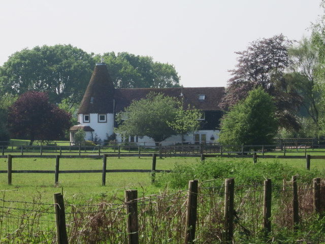
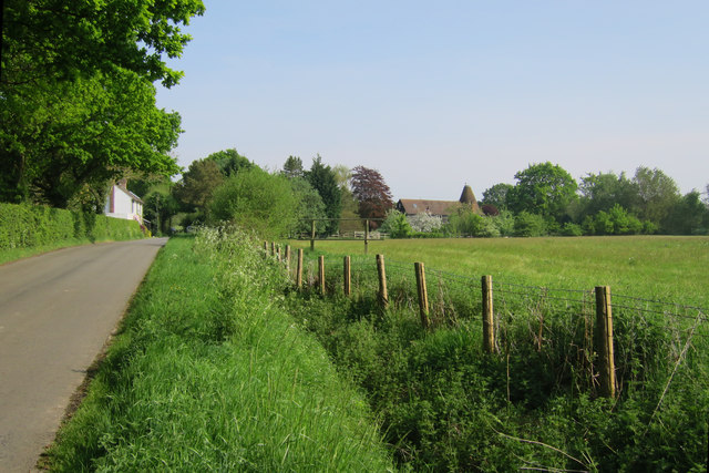
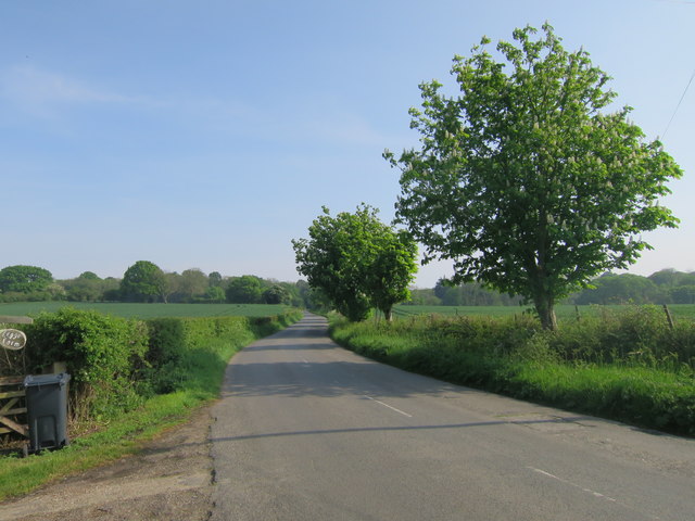
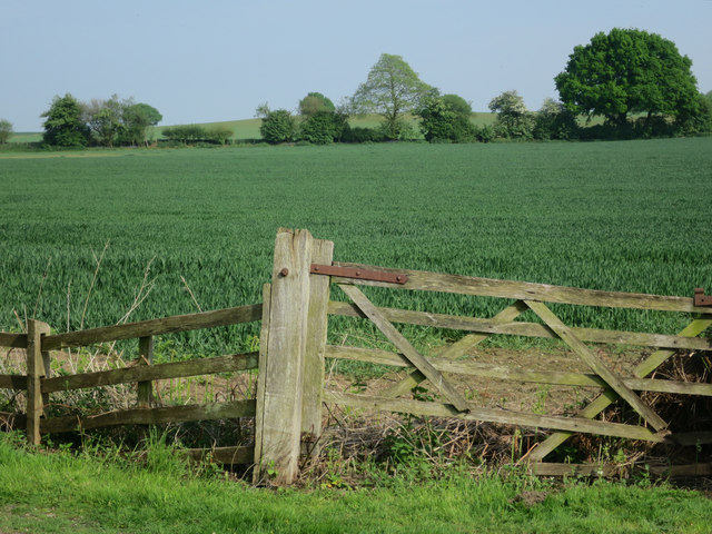
Wadland Wood Images
Images are sourced within 2km of 51.071253/0.81119777 or Grid Reference TQ9733. Thanks to Geograph Open Source API. All images are credited.

Wadland Wood is located at Grid Ref: TQ9733 (Lat: 51.071253, Lng: 0.81119777)
Administrative County: Kent
District: Ashford
Police Authority: Kent
What 3 Words
///rental.dockers.convey. Near Woodchurch, Kent
Nearby Locations
Related Wikis

Kenardington
Kenardington is a small clustered village and the centre of a relatively small rural civil parish of the same name, in the Ashford District of Kent, England...
Canterbury Oast Trust
Canterbury Oast Trust (COT) is a registered charity in England which sets up, manages and supports businesses providing work and training for people with...
Orlestone Forest
Orlestone Forest is a 347.6-hectare (859-acre) biological Site of Special Scientific Interest south of Ashford in Kent. It is a Nature Conservation Review...

Leacon Hall
Leacon Hall, Warehorne, Kent, England, is a grade II* listed building constructed for Thomas Hodges in 1708. == Description == The house remains on a low...
Warehorne
Warehorne is a village and civil parish in the south of the Ashford Borough of Kent, England. It is a scattered community centred on the Hamstreet to Tenterden...

Woodchurch, Kent
There is another Woodchurch in Kent, a hamlet in the Manston civil parish within the Thanet district.Woodchurch is a Kent village, the largest civil parish...
Brattle
Brattle is one of the settlements making up the dispersed village of Woodchurch in Kent, England. It is at the southern apex of the triangle of roads which...

Royal Military Canal Path
The Royal Military Canal Path is a long-distance path in England, mainly following the Royal Military Canal. Its end points are Seabrook, Kent (51.0720...
Nearby Amenities
Located within 500m of 51.071253,0.81119777Have you been to Wadland Wood?
Leave your review of Wadland Wood below (or comments, questions and feedback).