Ampton Wood

Wood, Forest in Suffolk West Suffolk

England

Ampton Wood

New Road at Ampton This wooded area is known as The Plains and is part of Ampton Wood.
New Road at Ampton Credit: Robert Edwards

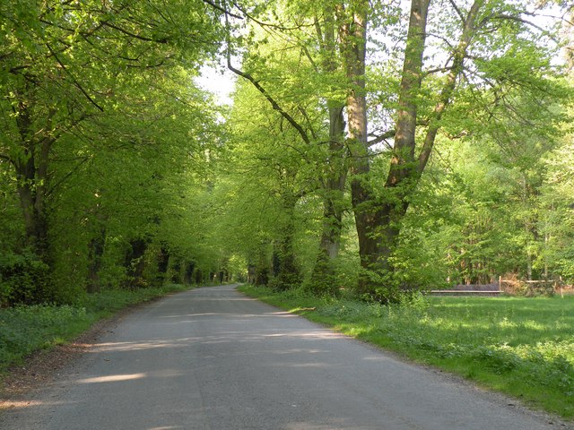
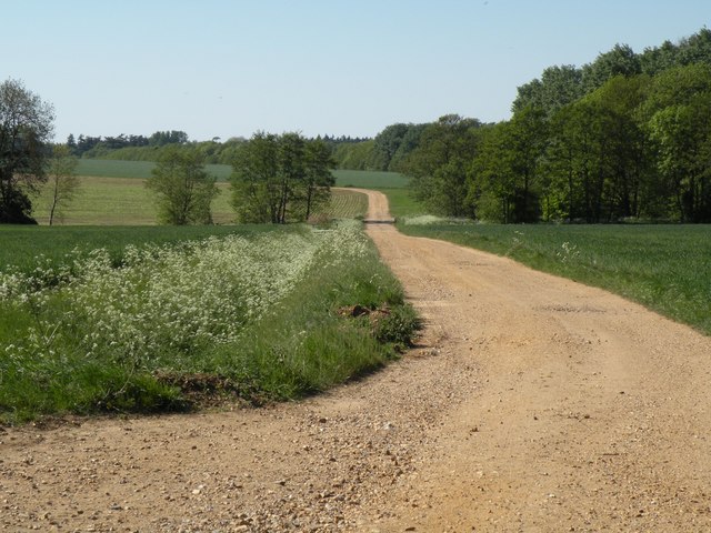
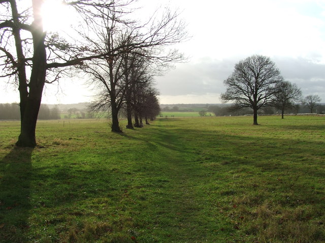
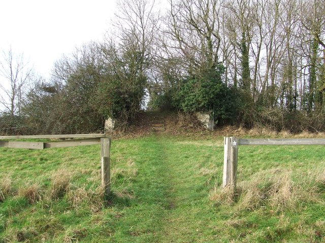
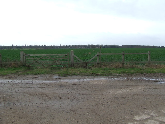
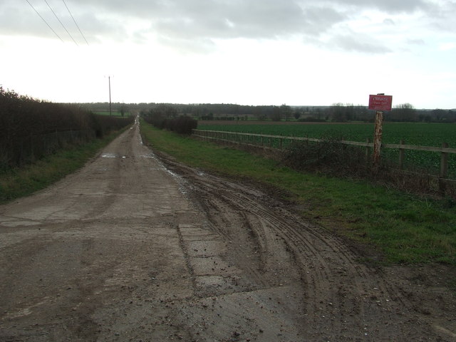
Ampton Wood is a picturesque woodland located in Suffolk, England. Covering an area of approximately 70 acres, it is a designated Site of Special Scientific Interest (SSSI) due to its outstanding natural beauty and rich biodiversity. The wood is situated just south of the village of Ampton and is easily accessible from the nearby town of Bury St Edmunds.

As one enters Ampton Wood, they are immediately greeted by a dense canopy of deciduous trees, predominantly oak and ash, which provide a cool and serene environment. The wood is a haven for wildlife, with numerous bird species such as woodpeckers, tits, and warblers making it their home. Additionally, it is home to a variety of mammals including deer, foxes, and rabbits, which can often be spotted roaming through the undergrowth.

The forest floor is covered with a thick carpet of wildflowers, ferns, and mosses, creating a vibrant and diverse ecosystem. In spring, the woodland comes alive with colorful displays of bluebells, primroses, and wood anemones, adding to its natural charm. The wood also boasts a small stream that meanders through the trees, providing a tranquil setting for visitors.

Ampton Wood is a popular destination for nature enthusiasts, walkers, and photographers who come to enjoy its peaceful ambiance and capture its natural beauty. The wood offers several well-maintained footpaths and trails, allowing visitors to explore its hidden corners and discover the abundance of flora and fauna it has to offer.

In summary, Ampton Wood is a captivating woodland in Suffolk, England, known for its breathtaking scenery, diverse wildlife, and tranquil atmosphere. It is a must-visit destination for anyone seeking to immerse themselves in nature and experience the true beauty of the English countryside.

If you have any feedback on the listing, please let us know in the comments section below.
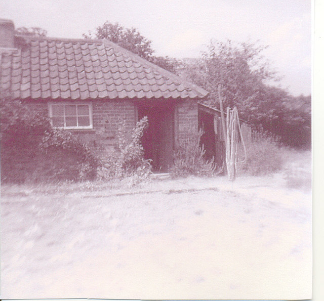
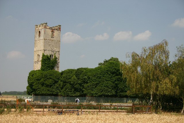
Ampton Wood Images

Images are sourced within 2km of 52.303717/0.73007736 or Grid Reference TL8670. Thanks to Geograph Open Source API. All images are credited.

New Road at Ampton This wooded area is known as The Plains and is part of Ampton Wood.
New Road at Ampton
This wooded area is known as The Plains and is part of Ampton Wood.
A track that leads to Ampton Water The track also continues on to Ampton Field.
A track that leads to Ampton Water
The track also continues on to Ampton Field.
Construction equipment hire premises Looking rather empty at the moment, this compound is normally full of excavators and the like. The village is rather odd in that the road is lined with pleasant houses to the south but as it heads north it turns to industrial use on both sides, ending with a refuse dump.

There is an interesting cloud formation here with flat bottoms.
Construction equipment hire premises
Looking rather empty at the moment, this compound is normally full of excavators and the like. The village is rather odd in that the road is lined with pleasant houses to the south but as it heads north it turns to industrial use on both sides, ending with a refuse dump. There is an interesting cloud formation here with flat bottoms.
Frontage of construction hire company For more details see <a href="https://www.geograph.org.uk/photo/2693453">TL8570 : Construction equipment hire premises</a>.

The next site down the road displays the classic roof of a petrol station, but that no longer operates and the site is just a used car lot.

Just visible in the photo the road near the garage has a serious bit of 'traffic calming' (IE intentional extra road hazard) in the former of some very high concrete kerbs forming a chicane, though if you line it up correctly you can get through straight and at speed (not that I've checked of course ...)
Frontage of construction hire company
For more details see TL8570 : Construction equipment hire premises. The next site down the road displays the classic roof of a petrol station, but that no longer operates and the site is just a used car lot. Just visible in the photo the road near the garage has a serious bit of 'traffic calming' (IE intentional extra road hazard) in the former of some very high concrete kerbs forming a chicane, though if you line it up correctly you can get through straight and at speed (not that I've checked of course ...)
Footpath Footpath across Ampton Field near to Ingham, Suffolk.
Footpath
Footpath across Ampton Field near to Ingham, Suffolk.
Old Bridge Old bridge across the disused Bury to Thetford railway line, now only used as a footbridge near to Ingham, Suffolk.
Old Bridge
Old bridge across the disused Bury to Thetford railway line, now only used as a footbridge near to Ingham, Suffolk.
Gate And Stile Gate stile and footpath with the path leading to Culford as seen from near to Ingham, Suffolk.
Gate And Stile
Gate stile and footpath with the path leading to Culford as seen from near to Ingham, Suffolk.
Farm Track Farm track looking south near to Ingham, Suffolk.
Farm Track
Farm track looking south near to Ingham, Suffolk.
Bodney Farm Old farm buildings at Bodney Farm near to Ampton, Suffolk.
Bodney Farm
Old farm buildings at Bodney Farm near to Ampton, Suffolk.
Entering Ingham Entering Ingham, Suffolk on the A.134.
Entering Ingham
Entering Ingham, Suffolk on the A.134.
Car Sales Car sales at Ingham, Suffolk.
Car Sales
Car sales at Ingham, Suffolk.
Ampton Farm Yard circa 1970, view from the steps of the Post Office
Ampton Farm Yard
circa 1970, view from the steps of the Post Office
Ampton Post Office Post Office at the Farm Yard
Ampton Post Office
Post Office at the Farm Yard
Post Office, cottage garden Garden view of post office cottage
Post Office, cottage garden
Garden view of post office cottage
Post Office Cottage garden and rear of farm shed for Ampton Estate
Post Office
Cottage garden and rear of farm shed for Ampton Estate
Post Office Front garden to cottage and adj cottage, Ampton farm yard
Post Office
Front garden to cottage and adj cottage, Ampton farm yard
Post Office Looking south towards pair of cottages, post office door to left.
Post Office
Looking south towards pair of cottages, post office door to left.
Cottage garden with laundry house and dry toilet Brick outhouse with wood fired copper and dry toilet
Cottage garden with laundry house and dry toilet
Brick outhouse with wood fired copper and dry toilet
Show me another place!

Ampton Wood is located at Grid Ref: TL8670 (Lat: 52.303717, Lng: 0.73007736)

Administrative County: Suffolk

District: West Suffolk

Police Authority: Suffolk

What 3 Words

///economics.annual.doing. Near Great Barton, Suffolk

Related Wikis

Ingham railway station

Ingham railway station was a railway station in Ingham, Suffolk which was located was on the route between Thetford and Bury St Edmunds. == History... ==

Ampton

Ampton is a village and civil parish in the West Suffolk District of Suffolk, England, about five miles north of Bury St Edmunds. According to Eilert Ekwall...
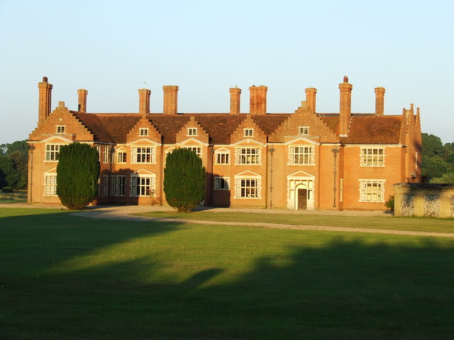
Ampton Hall

Ampton Hall is a Grade II-listed Jacobean style manor house in Ampton, Suffolk, England. Ampton Hall was the birthplace in 1805 of Robert FitzRoy, who...
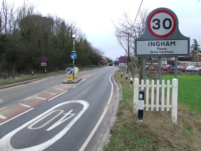
Ingham, Suffolk

Ingham is a village and civil parish in the West Suffolk district of Suffolk in eastern England, located about six miles north of Bury St Edmunds on the...

Little Livermere

Little Livermere is a village and civil parish in England situated about 5 miles (8 km) north of Bury St Edmunds, in an area of Suffolk known as the Breckland...

Timworth

Timworth is a village and civil parish 65 mi (105 km) north east of London and 26 mi (42 km) east of Cambridge in the West Suffolk district of Suffolk...

Great Livermere

Great Livermere is a village and civil parish in the West Suffolk district of Suffolk in eastern England. It is located around four miles north-east of...

Culford

Culford is a village and civil parish about 4 miles (6 km) north of Bury St Edmunds and 62 miles (100 km) north east of London in the West Suffolk district...

Nearby Amenities

Located within 500m of 52.303717,0.73007736
Wood
Naptan AtcoCode: 390050583
Naptan Bearing: S
Naptan BusStopType: CUS
Naptan CommonName: Wood
Naptan Indicator: opp
Naptan Landmark: Ingham Turning
Naptan NaptanCode: sufgjdag
Naptan Street: New Road
Naptan Verified: no
Source: naptan_import
Lat/Long: 52.3038862/0.7344187
Wood
Naptan AtcoCode: 390050584
Naptan Bearing: N
Naptan BusStopType: CUS
Naptan CommonName: Wood
Naptan Indicator: adj
Naptan Landmark: Ingham Turning
Naptan NaptanCode: sufgjdaj
Naptan Street: New Road
Naptan Verified: no
Source: naptan_import
Lat/Long: 52.3038032/0.7341201
Fixme: incomplete
Lat/Long: 52.3064201/0.7356286
The data included in this document is from www.openstreetmap.org. The data is made available under ODbL.

Have you been to Ampton Wood?

Leave your review of Ampton Wood below (or comments, questions and feedback).