Jack's Grove

Wood, Forest in Suffolk West Suffolk

England

Jack's Grove

Barley field off Brand's Lane
Barley field off Brand's Lane Credit: Jonathan Thacker

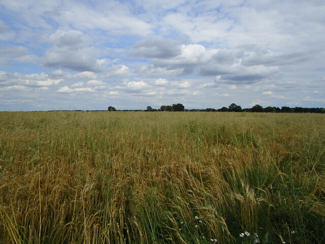
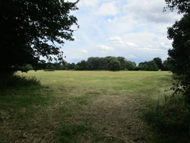
Jack's Grove is a picturesque woodland located in Suffolk, England. Spanning over 50 acres, this ancient forest is a haven for nature enthusiasts and offers a peaceful retreat for visitors seeking tranquility amidst nature's beauty.

The grove is characterized by its dense canopy of towering trees, predominantly oak and beech, which provide shelter and shade throughout the year. The forest floor is covered in a lush carpet of ferns, mosses, and wildflowers, creating a vibrant and diverse ecosystem. The woodland is also home to a variety of wildlife, including deer, foxes, badgers, and a plethora of bird species.

The ancient history of Jack's Grove is evident through its impressive trees, some of which are estimated to be over 200 years old. Many of these majestic giants bear the scars of time, with gnarled trunks and sprawling branches that create a mystical atmosphere. The grove also features a small stream that meanders through the forest, adding to its charm and providing a soothing soundtrack to the natural symphony.

Visitors to Jack's Grove can explore the numerous walking trails that wind through the woodland, offering glimpses of its enchanting beauty at every turn. The forest is a popular destination for hikers, photographers, and nature lovers, who can immerse themselves in its serene ambiance and capture stunning photographs of the flora and fauna.

Overall, Jack's Grove is a treasured gem in Suffolk, offering a captivating and serene escape from the hustle and bustle of modern life. Whether one seeks solitude or an opportunity to reconnect with nature, this ancient woodland provides an idyllic setting that will leave visitors with lasting memories.

If you have any feedback on the listing, please let us know in the comments section below.
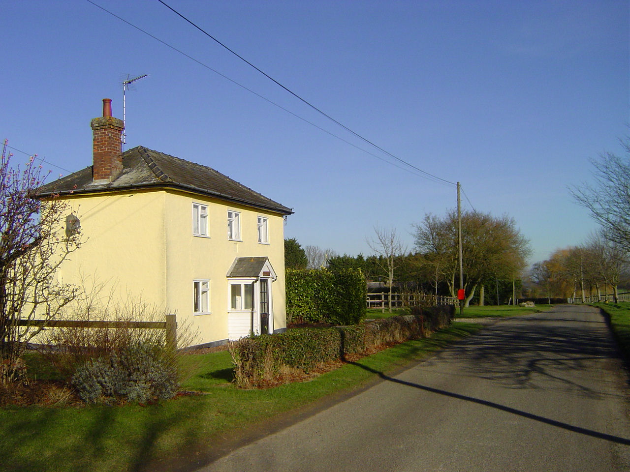
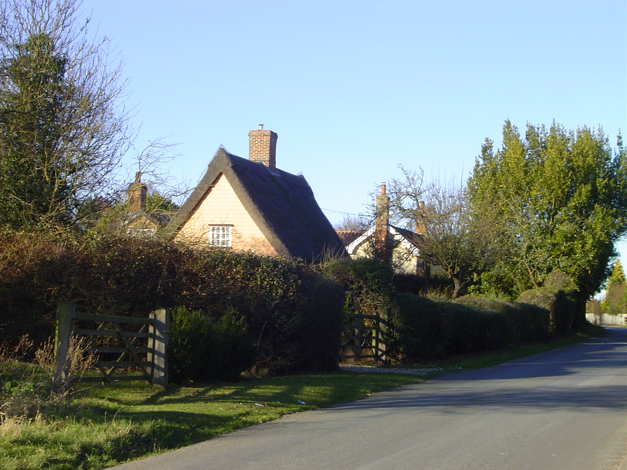
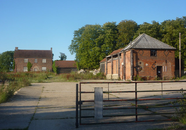
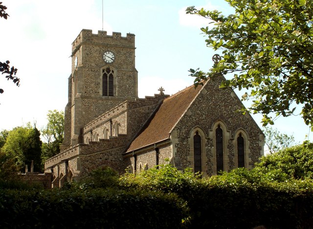
Jack's Grove Images

Images are sourced within 2km of 52.168213/0.72188797 or Grid Reference TL8655. Thanks to Geograph Open Source API. All images are credited.

Barley field off Brand's Lane
Church of All Saints, Lawshall A largely fifteenth century church <span class="nowrap"><a title="https://historicengland.org.uk/listing/the-list/list-entry/1036594" rel="nofollow ugc noopener" href="https://historicengland.org.uk/listing/the-list/list-entry/1036594">Link</a><img style="margin-left:2px;" alt="External link" title="External link - shift click to open in new window" src="https://s1.geograph.org.uk/img/external.png" width="10" height="10"/></span>
Church of All Saints, Lawshall
A largely fifteenth century church LinkExternal link
Grass field near Lawshall
Isolated tree near Makin's Farm
Church Farmhouse, Stanningfield Seventeenth century house <span class="nowrap"><a title="https://historicengland.org.uk/listing/the-list/list-entry/1278921" rel="nofollow ugc noopener" href="https://historicengland.org.uk/listing/the-list/list-entry/1278921">Link</a><img style="margin-left:2px;" alt="External link" title="External link - shift click to open in new window" src="https://s1.geograph.org.uk/img/external.png" width="10" height="10"/></span>
Church Farmhouse, Stanningfield
Seventeenth century house LinkExternal link
Field of sugar beet by Brands Lane
Field by Brands Lane Looking towards Rowney Farm
Field by Brands Lane
Looking towards Rowney Farm
Field of sugar beet by Brands Lane
The approach to Hanningfields Farm
The village sign at Lawshall
Road junction in Lawshall This junction is actually a crossroads.  The road to the right is Melford Road with Bury Road off to the left.  Straight ahead is Lambs Lane and opposite is Golden Lane.
Road junction in Lawshall
This junction is actually a crossroads. The road to the right is Melford Road with Bury Road off to the left. Straight ahead is Lambs Lane and opposite is Golden Lane.
Donkey Lane, between Lawshall and Stanningfield
St. Nicholas: the parish church of Stanningfield This church once had a much taller 14th century tower but the top was removed as it was classed as dangerous. Inside the church is an early 19th century photograph that shows the original tower.
St. Nicholas: the parish church of Stanningfield
This church once had a much taller 14th century tower but the top was removed as it was classed as dangerous. Inside the church is an early 19th century photograph that shows the original tower.
Memorial To Johannes Bartholomeus Jat Van Mesdag WWII memorial to crashed Mustang pilot Johannes Bartholomeus Jat Van Mesdag at side of a country road near to Lawshall, Suffolk. For more info on this young airman see <span class="nowrap"><a title="http://www.aircrewremembered.com/van-mesdag-johannes.html" rel="nofollow ugc noopener" href="http://www.aircrewremembered.com/van-mesdag-johannes.html">Link</a><img style="margin-left:2px;" alt="External link" title="External link - shift click to open in new window" src="https://s1.geograph.org.uk/img/external.png" width="10" height="10"/></span> and for overall view see <a title="https://www.geograph.org.uk/photo/2595650" href="https://www.geograph.org.uk/photo/2595650">Link</a>
Memorial To Johannes Bartholomeus Jat Van Mesdag
WWII memorial to crashed Mustang pilot Johannes Bartholomeus Jat Van Mesdag at side of a country road near to Lawshall, Suffolk. For more info on this young airman see LinkExternal link and for overall view see Link
Airman's Memorial WWII memorial to crashed Mustang pilot Johannes Bartholomeus Jat Van Mesdag at side of a country road near to Lawshall, Suffolk. For more info on this young airman see <span class="nowrap"><a title="http://www.aircrewremembered.com/van-mesdag-johannes.html" rel="nofollow ugc noopener" href="http://www.aircrewremembered.com/van-mesdag-johannes.html">Link</a><img style="margin-left:2px;" alt="External link" title="External link - shift click to open in new window" src="https://s1.geograph.org.uk/img/external.png" width="10" height="10"/></span> and for close up view see <a title="https://www.geograph.org.uk/photo/2595635" href="https://www.geograph.org.uk/photo/2595635">Link</a>
Airman's Memorial
WWII memorial to crashed Mustang pilot Johannes Bartholomeus Jat Van Mesdag at side of a country road near to Lawshall, Suffolk. For more info on this young airman see LinkExternal link and for close up view see Link
Dead End Dead end road near to Stanningfield, Suffolk.
Dead End
Dead end road near to Stanningfield, Suffolk.
St.Edmunds Way Looking south along part of the long distance walk St.Edmunds Way near to Stanningfield, Suffolk.
St.Edmunds Way
Looking south along part of the long distance walk St.Edmunds Way near to Stanningfield, Suffolk.
Hanningfield Green Hanningfield Green, Suffolk.
Hanningfield Green
Hanningfield Green, Suffolk.
Show me another place!

Jack's Grove is located at Grid Ref: TL8655 (Lat: 52.168213, Lng: 0.72188797)

Administrative County: Suffolk

District: West Suffolk

Police Authority: Suffolk

What 3 Words

///discrepancy.lunging.microchip. Near Glemsford, Suffolk

Related Wikis

Coldham Hall

Coldham Hall is a Grade I listed building, built in 1574, that is located in the parish of Bradfield Combust with Stanningfield in Suffolk. The Hall is...

Coldham Cottage

The Church of Our Lady Immaculate and St Joseph, otherwise known as Coldham Cottage is the oldest continuing Roman Catholic church in Suffolk. It is in...

Hart's Green

Hart's Green is a hamlet in the civil parish of Lawshall in the Babergh District in the county of Suffolk, England. It is located between Stanningfield...

Harrow Green

Harrow Green is a hamlet in the civil parish of Lawshall in the Babergh district in the county of Suffolk, England. It is located between Lambs Lane and...

Lambs Lane, Lawshall

Lambs Lane is a nuclear settlement in the civil parish of Lawshall in the Babergh district in the county of Suffolk, England. In addition to Lambs Lane...

Lawshall Hall

Lawshall Hall is a Grade II* listed building, re-built in 1557, that is located in the parish of Lawshall in Suffolk. The Hall is adjacent to All Saints...

Lawshall

Lawshall is a village and civil parish in Suffolk, England. Located around a mile off the A134 between Bury St Edmunds and Sudbury, it is part of Babergh...

All Saints' Church, Lawshall

The Parish Church of All Saints' Lawshall, is an Anglican church in the village of Lawshall, Suffolk, England. It has been designated by English Heritage...

Nearby Amenities

Located within 500m of 52.168213,0.72188797
Barrier: yes
Lat/Long: 52.169663/0.7257186
Coldham Hall helipad
Aeroway: helipad
Surface: concrete
Lat/Long: 52.1685436/0.726762
The data included in this document is from www.openstreetmap.org. The data is made available under ODbL.

Have you been to Jack's Grove?

Leave your review of Jack's Grove below (or comments, questions and feedback).