Sevenhills Wood
Wood, Forest in Suffolk West Suffolk
England
Sevenhills Wood
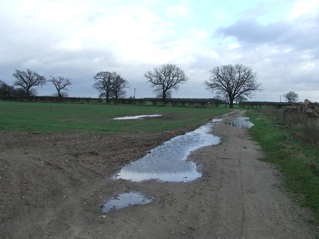
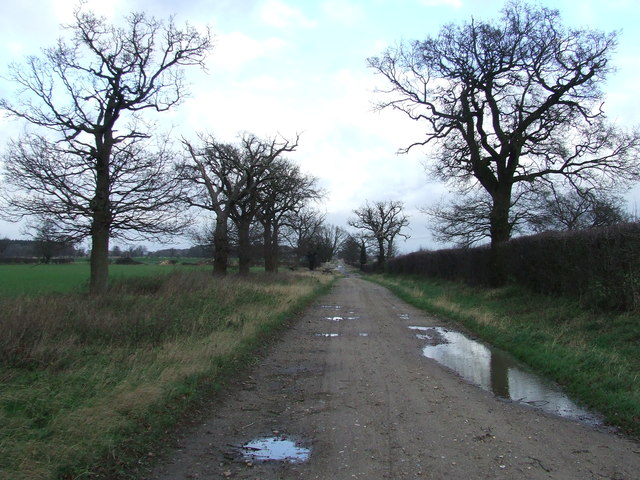
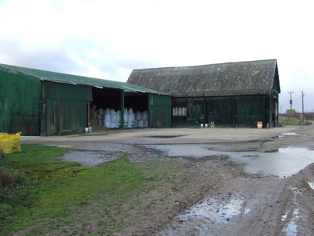
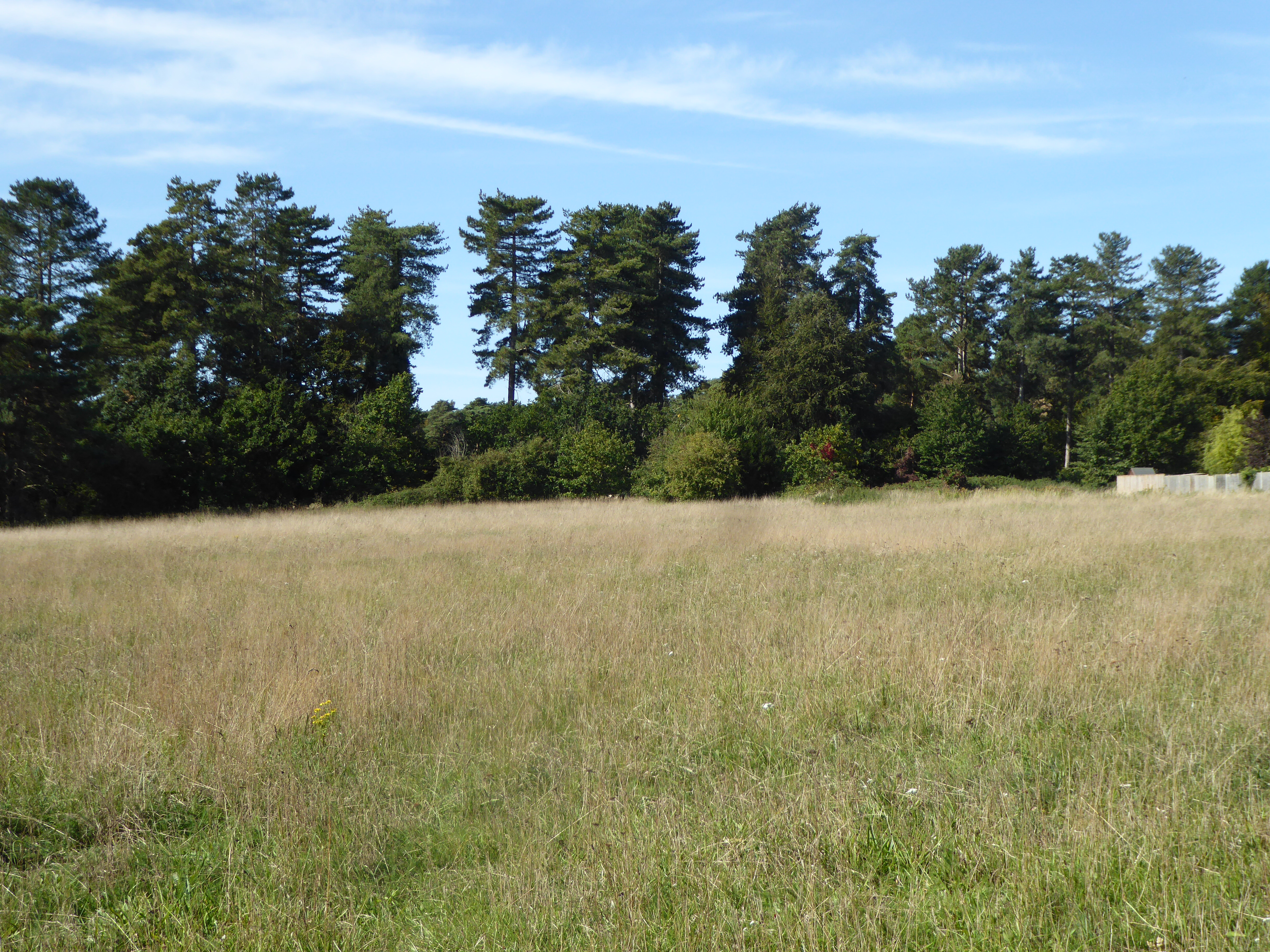
Sevenhills Wood is a picturesque woodland located in the county of Suffolk, England. Covering an area of approximately 50 hectares, this ancient forest is renowned for its diverse flora and fauna, making it a popular destination for nature enthusiasts and hikers alike.
The wood is predominantly composed of mixed deciduous trees, including oak, beech, and birch, which create a stunning canopy of vibrant colors during the autumn months. The forest floor is adorned with a rich carpet of bluebells in the spring, adding to the area's natural beauty.
Sevenhills Wood is also home to a variety of wildlife, making it an important conservation site. Visitors may catch a glimpse of deer, foxes, and rabbits, as well as a range of bird species, including woodpeckers, owls, and thrushes. The tranquil atmosphere of the wood provides a perfect habitat for these creatures to thrive.
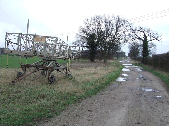
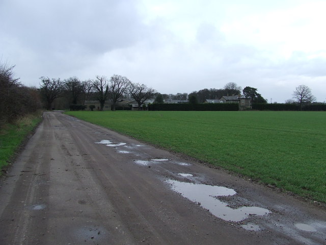
Several well-maintained walking trails meander through the forest, offering visitors the opportunity to explore its hidden gems. The paths lead to a small lake, where visitors can spot ducks and other waterfowl. Additionally, there are several picnic areas scattered throughout the wood, providing a peaceful spot to relax and enjoy the surroundings.
Sevenhills Wood is easily accessible, with a nearby car park and clear signposting. It offers a serene escape from the hustle and bustle of everyday life, allowing visitors to immerse themselves in the beauty of nature. Whether it is for a leisurely stroll, birdwatching, or simply to enjoy the tranquility, Sevenhills Wood is a must-visit destination for any nature lover in Suffolk.
If you have any feedback on the listing, please let us know in the comments section below.
Sevenhills Wood Images
Images are sourced within 2km of 52.322432/0.73120044 or Grid Reference TL8672. Thanks to Geograph Open Source API. All images are credited.


Sevenhills Wood is located at Grid Ref: TL8672 (Lat: 52.322432, Lng: 0.73120044)
Administrative County: Suffolk
District: West Suffolk
Police Authority: Suffolk
What 3 Words
///oiled.backfired.woke. Near Great Barton, Suffolk
Nearby Locations
Related Wikis

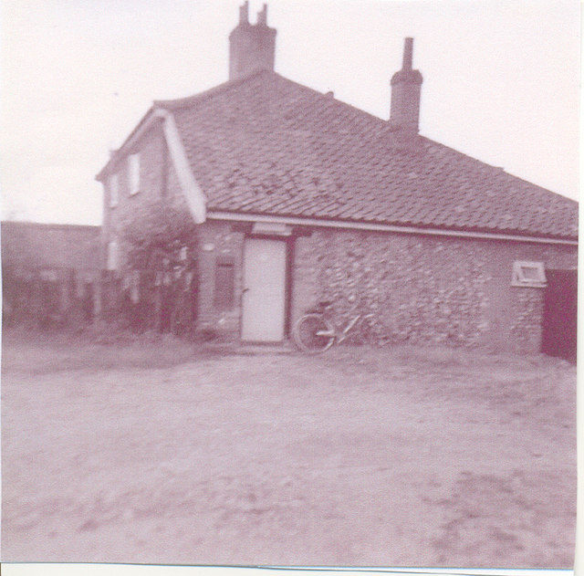
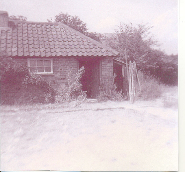
Seven Hills Halt railway station
Seven Hills Halt railway station was a railway station in Suffolk, England on the branch line between Thetford and Bury St Edmunds. It was closed in 1953...
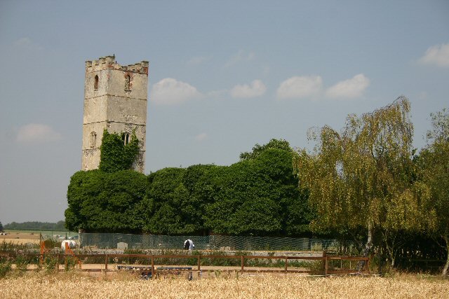
Little Livermere
Little Livermere is a village and civil parish in England situated about 5 miles (8 km) north of Bury St Edmunds, in an area of Suffolk known as the Breckland...

Ampton
Ampton is a village and civil parish in the West Suffolk District of Suffolk, England, about five miles north of Bury St Edmunds. According to Eilert Ekwall...
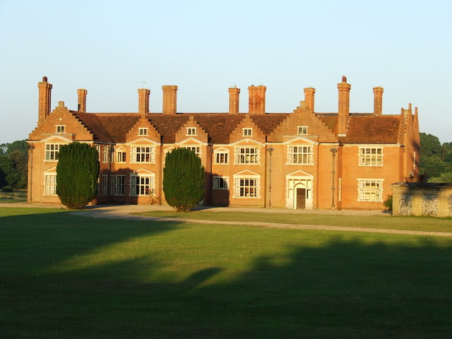
Ampton Hall
Ampton Hall is a Grade II-listed Jacobean style manor house in Ampton, Suffolk, England. Ampton Hall was the birthplace in 1805 of Robert FitzRoy, who...
Elm Road Field, Thetford
Elm Road Field, Thetford is a 5-hectare (12-acre) biological Site of Special Scientific Interest on the southern outskirts of Thetford in Norfolk.This...
Ingham railway station
Ingham railway station was a railway station in Ingham, Suffolk which was located was on the route between Thetford and Bury St Edmunds. == History... ==
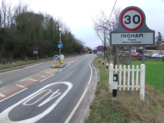
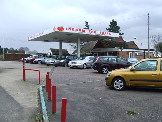
Ingham, Suffolk
Ingham is a village and civil parish in the West Suffolk district of Suffolk in eastern England, located about six miles north of Bury St Edmunds on the...
Great Livermere
Great Livermere is a village and civil parish in the West Suffolk district of Suffolk in eastern England. It is located around four miles north-east of...
Nearby Amenities
Located within 500m of 52.322432,0.73120044Have you been to Sevenhills Wood?
Leave your review of Sevenhills Wood below (or comments, questions and feedback).