Ampton

Civil Parish in Suffolk St Edmundsbury

England

Ampton

New Road at Ampton This wooded area is known as The Plains and is part of Ampton Wood.
New Road at Ampton Credit: Robert Edwards

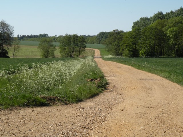
Ampton is a civil parish located in the county of Suffolk, England. It is situated approximately 5 miles northeast of Bury St Edmunds and covers an area of around 1.3 square miles. The parish is predominantly rural, characterized by rolling countryside and farmland.

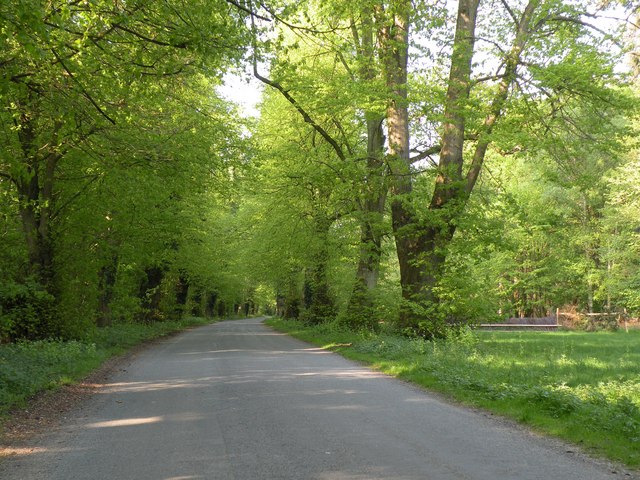
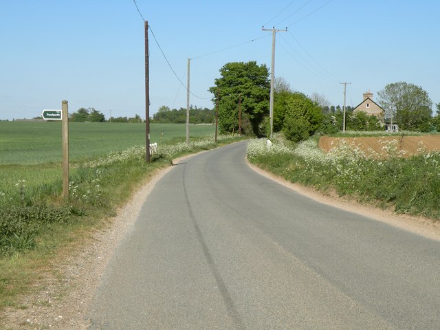
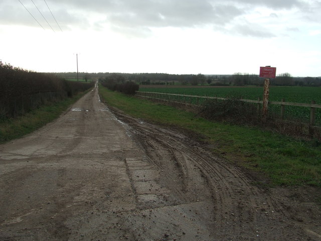
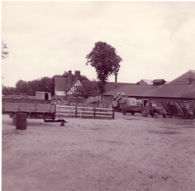
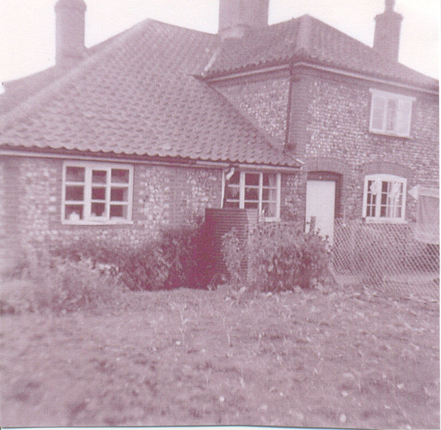
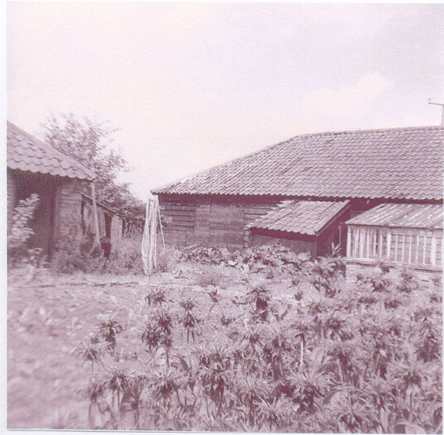
The village of Ampton itself is small and compact, consisting of a handful of houses and a few farm buildings. The village is surrounded by picturesque landscapes and offers a peaceful and tranquil environment for its residents. The parish is well connected to neighboring towns and villages, with good road links to Bury St Edmunds and other nearby settlements.

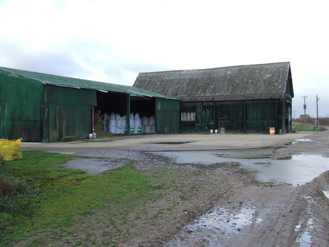
Ampton is known for its rich agricultural heritage, with farming being the primary economic activity in the area. The fertile land supports a variety of crops, including cereals, vegetables, and fruits. The parish is also home to several livestock farms, primarily focused on cattle and sheep rearing.

In terms of amenities, Ampton has limited facilities within the village itself. However, nearby Bury St Edmunds offers a range of services, including shops, schools, healthcare facilities, and recreational amenities. The parish benefits from its proximity to the larger town, allowing residents to access a wider range of services and employment opportunities.

Overall, Ampton is a small and peaceful rural parish in Suffolk, with a strong agricultural presence and a close-knit community. It offers residents a picturesque countryside setting while still being within reach of larger urban centers.

If you have any feedback on the listing, please let us know in the comments section below.
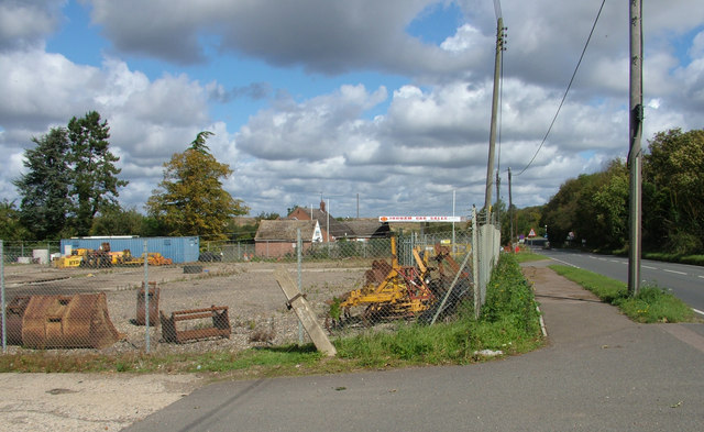
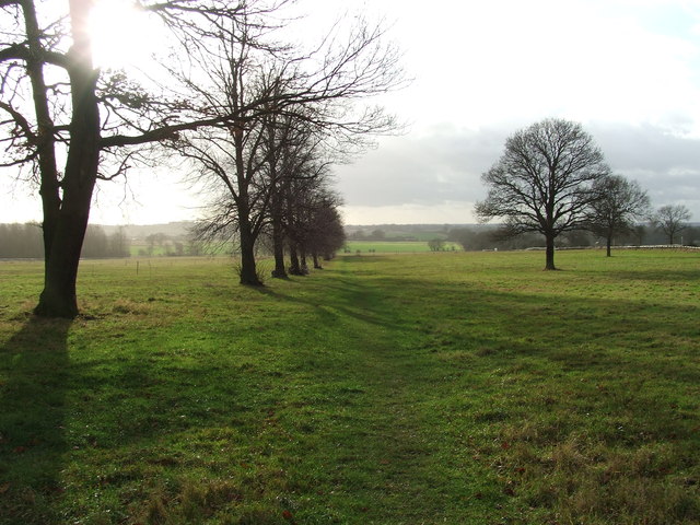
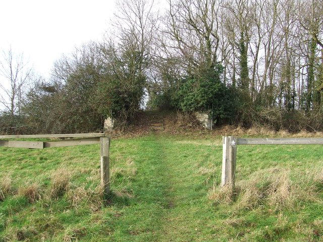
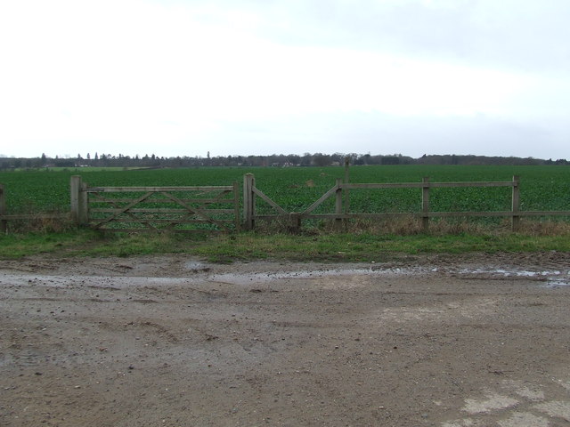
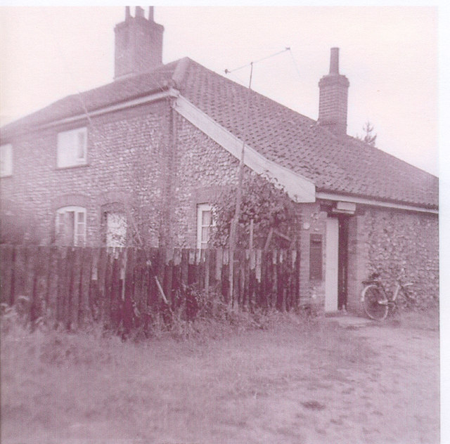
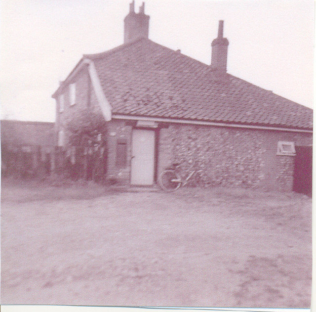
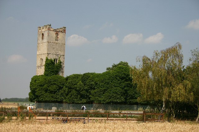
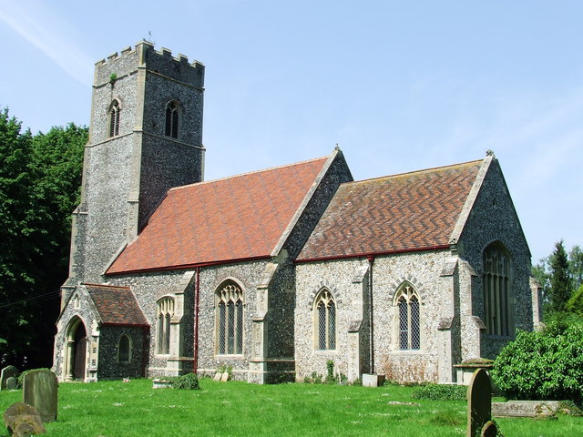
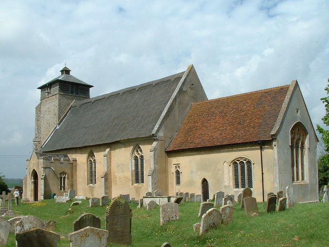
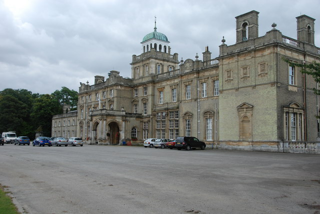
Ampton Images

Images are sourced within 2km of 52.304895/0.734214 or Grid Reference TL8670. Thanks to Geograph Open Source API. All images are credited.

New Road at Ampton This wooded area is known as The Plains and is part of Ampton Wood.
New Road at Ampton
This wooded area is known as The Plains and is part of Ampton Wood.
A track that leads to Ampton Water The track also continues on to Ampton Field.
A track that leads to Ampton Water
The track also continues on to Ampton Field.
Bury Road, approaching Great Livermere
Construction equipment hire premises Looking rather empty at the moment, this compound is normally full of excavators and the like. The village is rather odd in that the road is lined with pleasant houses to the south but as it heads north it turns to industrial use on both sides, ending with a refuse dump.

There is an interesting cloud formation here with flat bottoms.
Construction equipment hire premises
Looking rather empty at the moment, this compound is normally full of excavators and the like. The village is rather odd in that the road is lined with pleasant houses to the south but as it heads north it turns to industrial use on both sides, ending with a refuse dump. There is an interesting cloud formation here with flat bottoms.
Frontage of construction hire company For more details see <a href="https://www.geograph.org.uk/photo/2693453">TL8570 : Construction equipment hire premises</a>.

The next site down the road displays the classic roof of a petrol station, but that no longer operates and the site is just a used car lot.

Just visible in the photo the road near the garage has a serious bit of 'traffic calming' (IE intentional extra road hazard) in the former of some very high concrete kerbs forming a chicane, though if you line it up correctly you can get through straight and at speed (not that I've checked of course ...)
Frontage of construction hire company
For more details see TL8570 : Construction equipment hire premises. The next site down the road displays the classic roof of a petrol station, but that no longer operates and the site is just a used car lot. Just visible in the photo the road near the garage has a serious bit of 'traffic calming' (IE intentional extra road hazard) in the former of some very high concrete kerbs forming a chicane, though if you line it up correctly you can get through straight and at speed (not that I've checked of course ...)
Footpath Footpath across Ampton Field near to Ingham, Suffolk.
Footpath
Footpath across Ampton Field near to Ingham, Suffolk.
Old Bridge Old bridge across the disused Bury to Thetford railway line, now only used as a footbridge near to Ingham, Suffolk.
Old Bridge
Old bridge across the disused Bury to Thetford railway line, now only used as a footbridge near to Ingham, Suffolk.
Gate And Stile Gate stile and footpath with the path leading to Culford as seen from near to Ingham, Suffolk.
Gate And Stile
Gate stile and footpath with the path leading to Culford as seen from near to Ingham, Suffolk.
Farm Track Farm track looking south near to Ingham, Suffolk.
Farm Track
Farm track looking south near to Ingham, Suffolk.
Bodney Farm Old farm buildings at Bodney Farm near to Ampton, Suffolk.
Bodney Farm
Old farm buildings at Bodney Farm near to Ampton, Suffolk.
Entering Ingham Entering Ingham, Suffolk on the A.134.
Entering Ingham
Entering Ingham, Suffolk on the A.134.
Car Sales Car sales at Ingham, Suffolk.
Car Sales
Car sales at Ingham, Suffolk.
Ampton Farm Yard circa 1970, view from the steps of the Post Office
Ampton Farm Yard
circa 1970, view from the steps of the Post Office
Ampton Post Office Post Office at the Farm Yard
Ampton Post Office
Post Office at the Farm Yard
Post Office, cottage garden Garden view of post office cottage
Post Office, cottage garden
Garden view of post office cottage
Post Office Cottage garden and rear of farm shed for Ampton Estate
Post Office
Cottage garden and rear of farm shed for Ampton Estate
Post Office Front garden to cottage and adj cottage, Ampton farm yard
Post Office
Front garden to cottage and adj cottage, Ampton farm yard
Post Office Looking south towards pair of cottages, post office door to left.
Post Office
Looking south towards pair of cottages, post office door to left.
Show me another place!

Ampton is located at Grid Ref: TL8670 (Lat: 52.304895, Lng: 0.734214)

Administrative County: Suffolk

District: St Edmundsbury

Police Authority: Suffolk

What 3 Words

///glades.else.barrel. Near Great Barton, Suffolk

Related Wikis

Ampton

Ampton is a village and civil parish in the West Suffolk District of Suffolk, England, about five miles north of Bury St Edmunds. According to Eilert Ekwall...
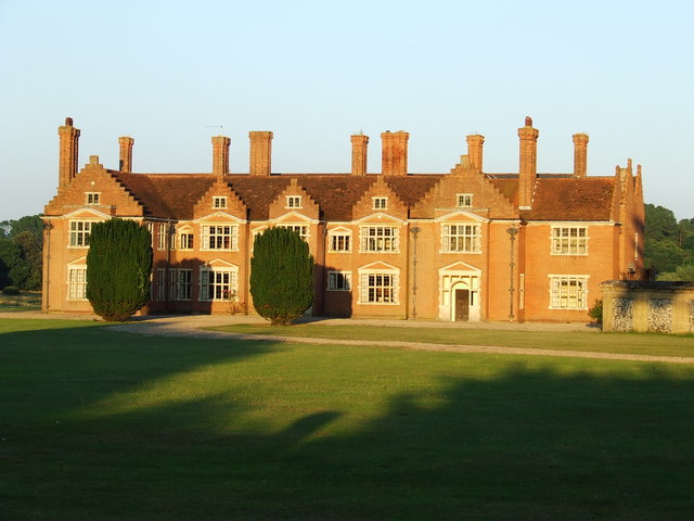
Ampton Hall

Ampton Hall is a Grade II-listed Jacobean style manor house in Ampton, Suffolk, England. Ampton Hall was the birthplace in 1805 of Robert FitzRoy, who...

Little Livermere

Little Livermere is a village and civil parish in England situated about 5 miles (8 km) north of Bury St Edmunds, in an area of Suffolk known as the Breckland...

Ingham railway station

Ingham railway station was a railway station in Ingham, Suffolk which was located was on the route between Thetford and Bury St Edmunds. == History... ==

Ingham, Suffolk

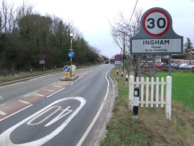
Ingham is a village and civil parish in the West Suffolk district of Suffolk in eastern England, located about six miles north of Bury St Edmunds on the...

Timworth

Timworth is a village and civil parish 65 mi (105 km) north east of London and 26 mi (42 km) east of Cambridge in the West Suffolk district of Suffolk...

Great Livermere

Great Livermere is a village and civil parish in the West Suffolk district of Suffolk in eastern England. It is located around four miles north-east of...

Culford

Culford is a village and civil parish about 4 miles (6 km) north of Bury St Edmunds and 62 miles (100 km) north east of London in the West Suffolk district...

Related Videos

Review of the Dream Lodge Group at Fornham Park (Suffolk)

They liked my first video so much that they let us stay again. So lets try this platinum Dream Lodge out in Bury St Edmunds, Suffolk ...

Nearby Amenities

Located within 500m of 52.304895,0.734214
Wood
Naptan AtcoCode: 390050583
Naptan Bearing: S
Naptan BusStopType: CUS
Naptan CommonName: Wood
Naptan Indicator: opp
Naptan Landmark: Ingham Turning
Naptan NaptanCode: sufgjdag
Naptan Street: New Road
Naptan Verified: no
Source: naptan_import
Lat/Long: 52.3038862/0.7344187
Wood
Naptan AtcoCode: 390050584
Naptan Bearing: N
Naptan BusStopType: CUS
Naptan CommonName: Wood
Naptan Indicator: adj
Naptan Landmark: Ingham Turning
Naptan NaptanCode: sufgjdaj
Naptan Street: New Road
Naptan Verified: no
Source: naptan_import
Lat/Long: 52.3038032/0.7341201
Bus Stop
Park Gates
Naptan AtcoCode: 390050585
Naptan Bearing: S
Naptan BusStopType: CUS
Naptan CommonName: Park Gates
Naptan Indicator: adj
Naptan Landmark: Park Gates
Naptan NaptanCode: sufgjdam
Naptan Street: New Road
Naptan Verified: no
Source: naptan_import
Lat/Long: 52.30644/0.7359845
Park Gates
Naptan AtcoCode: 390050586
Naptan Bearing: N
Naptan BusStopType: CUS
Naptan CommonName: Park Gates
Naptan Indicator: opp
Naptan Landmark: Park Gates
Naptan NaptanCode: sufgjdap
Naptan Street: New Road
Naptan Verified: no
Source: naptan_import
Lat/Long: 52.3064596/0.7359124
Telephone
Booth: K6
Covered: booth
Listed Status: Grade II
Payment Coins: no
Phone: +44 1284 728376
Lat/Long: 52.3086695/0.7367876
Ampton
Place: hamlet
Source: NPE
Wikidata: Q2609468
Lat/Long: 52.3078809/0.7357204
Fixme: incomplete
Lat/Long: 52.3064201/0.7356286
Post Box
Operator: Royal Mail
Post Box Mounting: building
Post Box Type: wall
Ref: IP31 2190
Lat/Long: 52.308225/0.7352775
The data included in this document is from www.openstreetmap.org. The data is made available under ODbL.

Have you been to Ampton?

Leave your review of Ampton below (or comments, questions and feedback).