Ancaster
Civil Parish in Lincolnshire South Kesteven
England
Ancaster

Ancaster is a civil parish located in the district of South Kesteven, Lincolnshire, England. It lies approximately 12 miles southwest of the city of Lincoln and is situated on the western edge of the Lincolnshire Wolds, an Area of Outstanding Natural Beauty.
The village of Ancaster has a rich history, with evidence of settlement dating back to the Roman period. The remains of a Roman town, known as Ancaster Roman Town, can still be seen today, including sections of the Roman walls and a Roman villa. These historical sites attract archaeologists and history enthusiasts from around the country.
The village itself is relatively small, with a population of around 2,000 people. It has a close-knit community and offers a range of amenities for residents, including a primary school, a village hall, a post office, and a few local shops. The village also has a number of pubs and restaurants, providing options for dining and socializing.
Ancaster is surrounded by picturesque countryside, making it an ideal location for outdoor activities such as hiking and cycling. The nearby Woodland Waters offers fishing and camping facilities, while the nearby market town of Grantham provides additional amenities and services.
Overall, Ancaster is a charming village with a rich history and a strong sense of community. Its location in the Lincolnshire Wolds provides residents with access to beautiful countryside, while its historical sites offer a glimpse into the area's past.
If you have any feedback on the listing, please let us know in the comments section below.
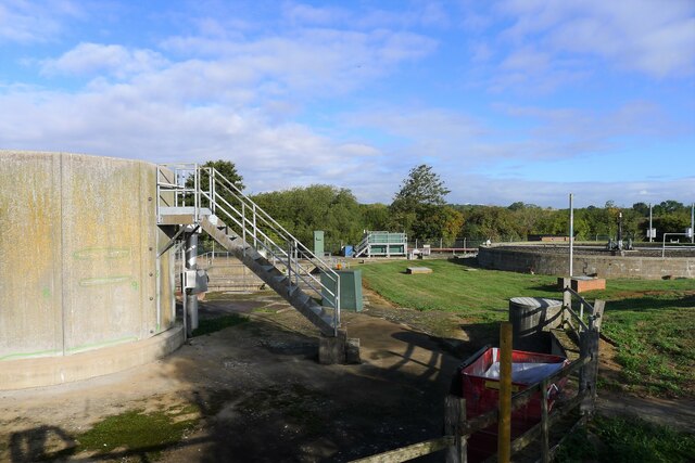
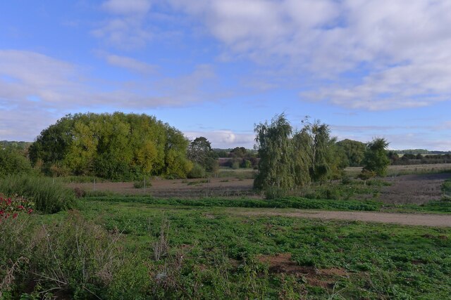
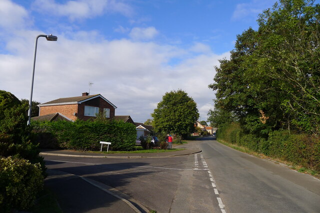
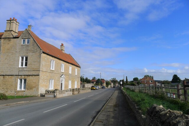
Ancaster Images
Images are sourced within 2km of 52.985756/-0.550117 or Grid Reference SK9744. Thanks to Geograph Open Source API. All images are credited.


Ancaster is located at Grid Ref: SK9744 (Lat: 52.985756, Lng: -0.550117)
Administrative County: Lincolnshire
District: South Kesteven
Police Authority: Lincolnshire
What 3 Words
///legroom.livid.thumps. Near Ancaster, Lincolnshire
Nearby Locations
Related Wikis

Sudbrook, Lincolnshire
Sudbrook is a hamlet in the South Kesteven district of Lincolnshire, England. It is situated 12 miles (19 km) south-east of Newark-on-Trent, 6 miles (10...

Ancaster railway station
Ancaster railway station serves the village of Ancaster in Lincolnshire, England. The station is 11.5 miles (19 km) north of Grantham on the Nottingham...

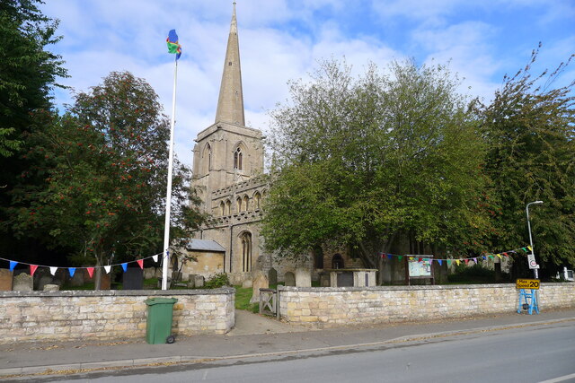
St Martin's Church, Ancaster
St Martin's Church is a Grade I listed Anglican church, dedicated to Martin of Tours, in Ancaster, Lincolnshire, England. The church is 6 miles (10 km...

Ancaster (Roman town)
Ancaster was a small town in the Roman province of Britannia. It is sited on the Roman road known as the Ermine Street and is situated in the county of...
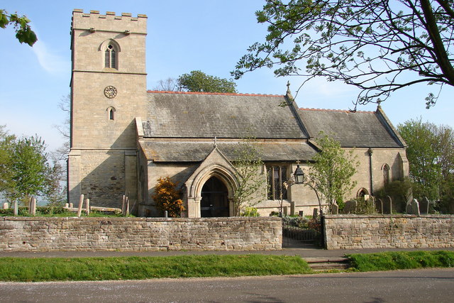
Ancaster, Lincolnshire
Ancaster is a village and civil parish in the South Kesteven district of Lincolnshire, England, on the site of a Roman town. The population of the civil...

RAF Barkston Heath
Royal Air Force Barkston Heath or RAF Barkston Heath (ICAO: EGYE) is a Royal Air Force Relief Landing Ground under the command of RAF Cranwell near Grantham...
Carlton Scroop
Carlton Scroop is a small village and civil parish in the South Kesteven district of Lincolnshire, England. The population of the civil parish (including...

Honington, Lincolnshire
Honington is an English village and civil parish in the South Kesteven district of Lincolnshire. It lies just north of the junction between the A153 and...
Nearby Amenities
Located within 500m of 52.985756,-0.550117Have you been to Ancaster?
Leave your review of Ancaster below (or comments, questions and feedback).