Sudbrook
Settlement in Lincolnshire South Kesteven
England
Sudbrook

Sudbrook is a small village located in the county of Lincolnshire, England. Situated approximately 8 miles northwest of the city of Lincoln, it falls within the district of North Kesteven. The village is nestled in a rural setting, surrounded by picturesque countryside and farmland.
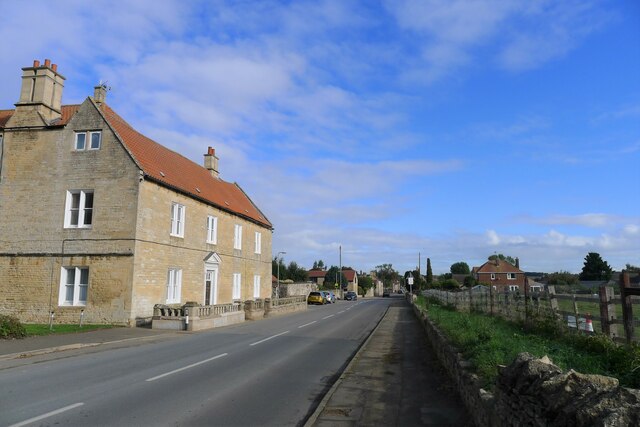
With a population of around 400 residents, Sudbrook maintains its quaint and close-knit community atmosphere. The village is characterized by its traditional brick and stone houses, many of which date back to the 18th and 19th centuries. These buildings contribute to the village's charm and historical significance.
Sudbrook is home to a few amenities that cater to the local community's needs. These include a village hall, a primary school, a church, and a pub. The village hall is a hub for various social events and activities, providing a space for gatherings and community meetings. The primary school serves as an educational institution for children within the village and surrounding areas.
The surrounding countryside offers ample opportunities for outdoor activities such as walking, cycling, and exploring nature. Sudbrook is located near the Lincolnshire Wolds, an Area of Outstanding Natural Beauty, which attracts visitors from far and wide.
Transport links in Sudbrook are relatively limited, with few public transportation options available. However, the village does have good road access, with the A57 passing nearby, connecting Sudbrook to Lincoln and other neighboring towns.
In summary, Sudbrook is a charming and idyllic village in Lincolnshire, known for its rural beauty, historical architecture, and strong sense of community.
If you have any feedback on the listing, please let us know in the comments section below.
Sudbrook Images
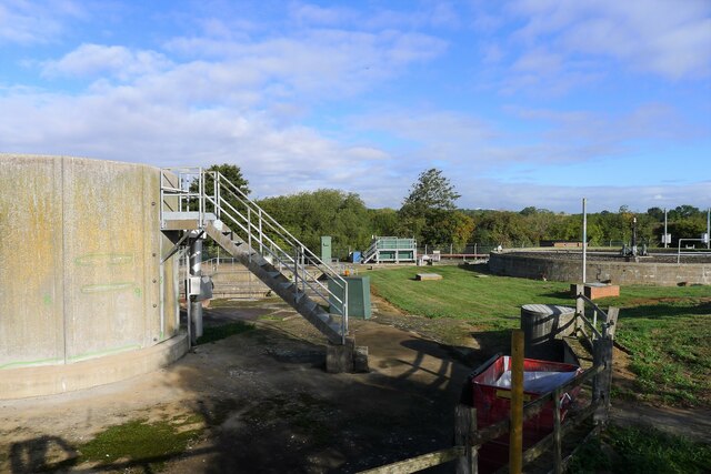
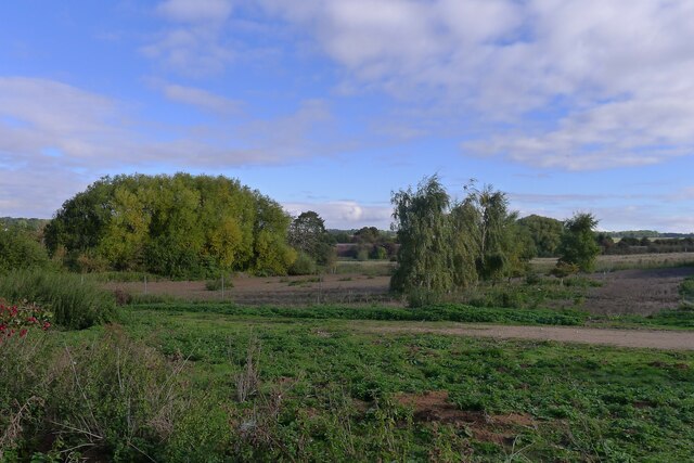
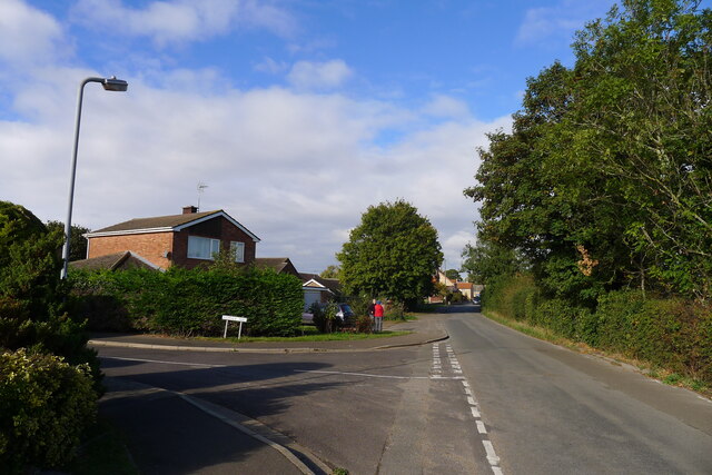
Images are sourced within 2km of 52.989015/-0.55418 or Grid Reference SK9744. Thanks to Geograph Open Source API. All images are credited.


Sudbrook is located at Grid Ref: SK9744 (Lat: 52.989015, Lng: -0.55418)
Division: Parts of Kesteven
Administrative County: Lincolnshire
District: South Kesteven
Police Authority: Lincolnshire
What 3 Words
///cleans.eliminate.weekends. Near Ancaster, Lincolnshire
Nearby Locations
Related Wikis

Sudbrook, Lincolnshire
Sudbrook is a hamlet in the South Kesteven district of Lincolnshire, England. It is situated 12 miles (19 km) south-east of Newark-on-Trent, 6 miles (10...
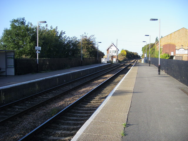
Ancaster railway station
Ancaster railway station serves the village of Ancaster in Lincolnshire, England. The station is 11.5 miles (19 km) north of Grantham on the Nottingham...
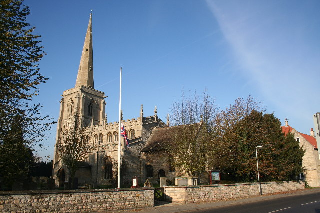
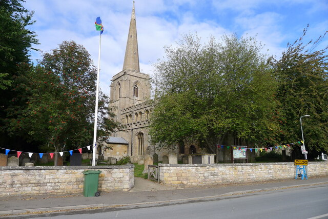
St Martin's Church, Ancaster
St Martin's Church is a Grade I listed Anglican church, dedicated to Martin of Tours, in Ancaster, Lincolnshire, England. The church is 6 miles (10 km...

Ancaster (Roman town)
Ancaster was a small town in the Roman province of Britannia. It is sited on the Roman road known as the Ermine Street and is situated in the county of...
Nearby Amenities
Located within 500m of 52.989015,-0.55418Have you been to Sudbrook?
Leave your review of Sudbrook below (or comments, questions and feedback).