Lordsacre Belt
Wood, Forest in Suffolk West Suffolk
England
Lordsacre Belt
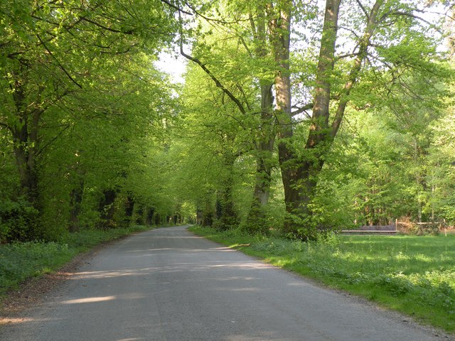
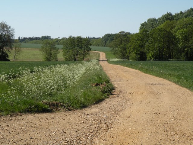
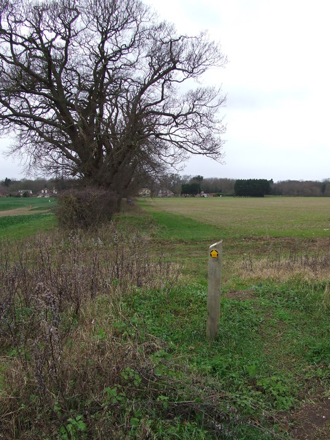
Lordsacre Belt, located in Suffolk, England, is a picturesque woodland area renowned for its natural beauty and rich history. Covering an expansive area, this forested belt is a popular destination for nature enthusiasts and history buffs alike.
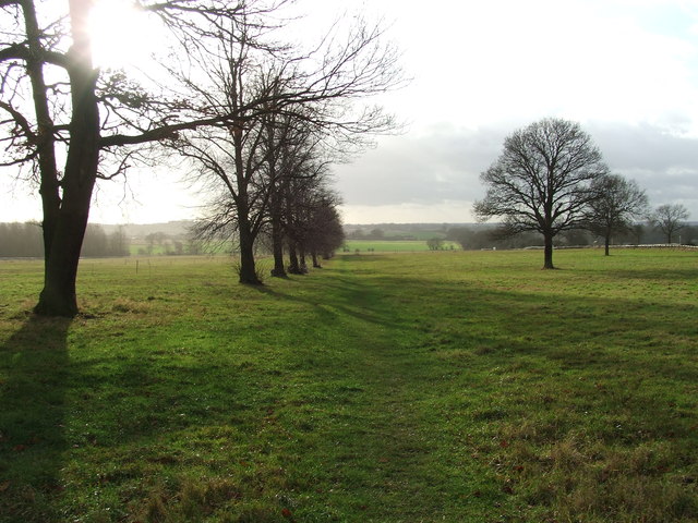
The woodland is characterized by its dense and diverse vegetation, including a variety of tree species such as oak, beech, and birch. The forest floor is adorned with a lush carpet of ferns, wildflowers, and mosses, creating a vibrant and enchanting atmosphere. The trees provide a haven for numerous bird species, making it a haven for birdwatchers and nature photographers.
Lordsacre Belt also holds historical significance, with traces of human habitation dating back centuries. The remnants of ancient trackways and earthworks can be found within the forest, offering a glimpse into the past. These historical features provide a fascinating insight into the lives of the people who once lived and worked in the area.
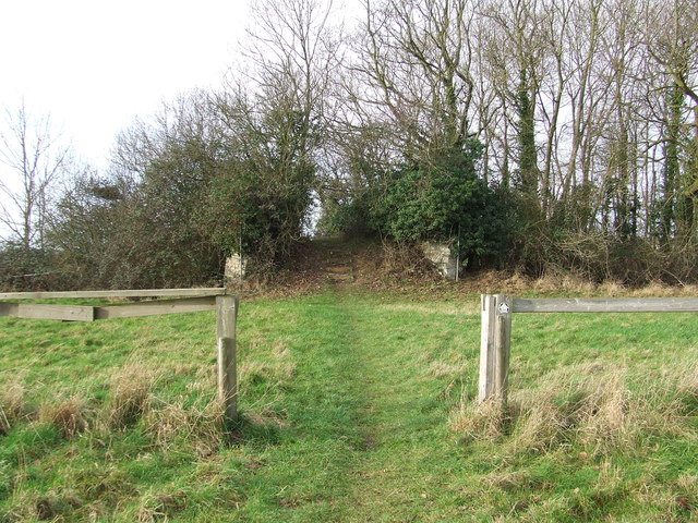
Visitors to Lordsacre Belt can explore its network of well-maintained trails, allowing them to immerse themselves in the tranquility of the woodland. The forest offers opportunities for walking, hiking, and horseback riding, catering to a range of outdoor activities.
The forest is easily accessible, with designated parking areas and well-marked entrances. Visitors are advised to adhere to any signage and guidelines to preserve the natural habitat and ensure the safety of all visitors.
Overall, Lordsacre Belt in Suffolk is a captivating woodland destination, offering a harmonious blend of natural beauty and historical significance. It provides a tranquil escape for those seeking solace in nature and an opportunity to connect with the area's rich cultural heritage.
If you have any feedback on the listing, please let us know in the comments section below.
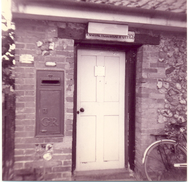
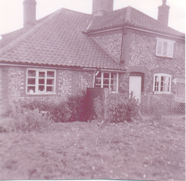
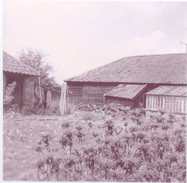
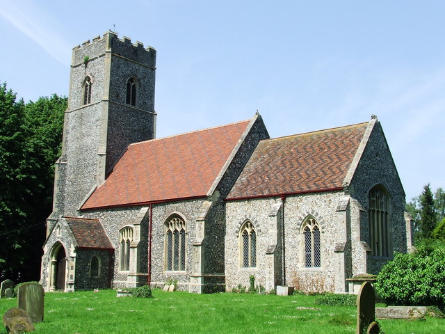
Lordsacre Belt Images
Images are sourced within 2km of 52.304301/0.72698861 or Grid Reference TL8670. Thanks to Geograph Open Source API. All images are credited.


Lordsacre Belt is located at Grid Ref: TL8670 (Lat: 52.304301, Lng: 0.72698861)
Administrative County: Suffolk
District: West Suffolk
Police Authority: Suffolk
What 3 Words
///link.prospered.breath. Near Great Barton, Suffolk
Nearby Locations
Related Wikis

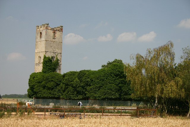
Ingham railway station
Ingham railway station was a railway station in Ingham, Suffolk which was located was on the route between Thetford and Bury St Edmunds. == History... ==
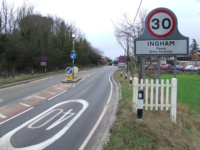
Ingham, Suffolk
Ingham is a village and civil parish in the West Suffolk district of Suffolk in eastern England, located about six miles north of Bury St Edmunds on the...

Ampton
Ampton is a village and civil parish in the West Suffolk District of Suffolk, England, about five miles north of Bury St Edmunds. According to Eilert Ekwall...
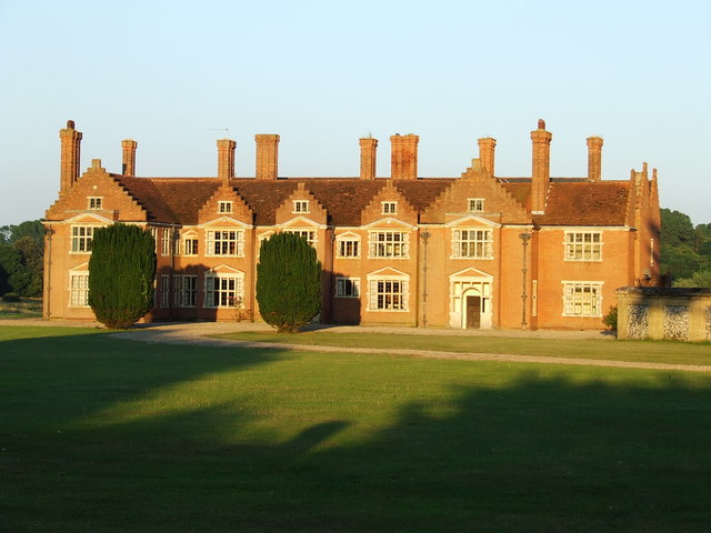
Ampton Hall
Ampton Hall is a Grade II-listed Jacobean style manor house in Ampton, Suffolk, England. Ampton Hall was the birthplace in 1805 of Robert FitzRoy, who...
Little Livermere
Little Livermere is a village and civil parish in England situated about 5 miles (8 km) north of Bury St Edmunds, in an area of Suffolk known as the Breckland...

Timworth
Timworth is a village and civil parish 65 mi (105 km) north east of London and 26 mi (42 km) east of Cambridge in the West Suffolk district of Suffolk...
Culford
Culford is a village and civil parish about 4 miles (6 km) north of Bury St Edmunds and 62 miles (100 km) north east of London in the West Suffolk district...

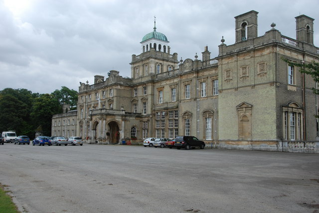
Culford Park
Culford Park in Culford, Suffolk, England, is a country house that is the former seat of the Bacon, Cornwallis and Cadogan families, and now it is the...
Nearby Amenities
Located within 500m of 52.304301,0.72698861Have you been to Lordsacre Belt?
Leave your review of Lordsacre Belt below (or comments, questions and feedback).