Albemarle Plantation
Wood, Forest in Suffolk West Suffolk
England
Albemarle Plantation
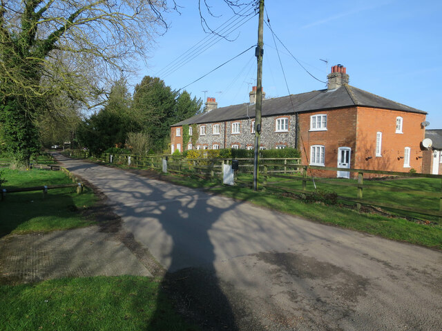
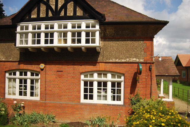
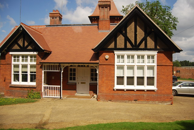
Albemarle Plantation is a stunning residential community located in Suffolk, Virginia. Nestled amidst the peaceful woodlands and picturesque forests, this plantation offers a serene and tranquil living environment that is perfect for nature enthusiasts and those seeking a peaceful retreat.
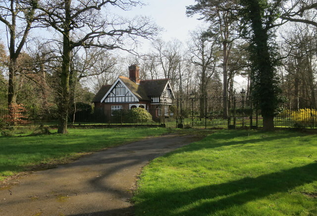
Spread over a vast area, Albemarle Plantation features an array of beautiful homes that blend seamlessly with the natural surroundings. The architecture of these homes is designed to reflect the charm and character of the plantation, showcasing a perfect blend of traditional and contemporary designs.
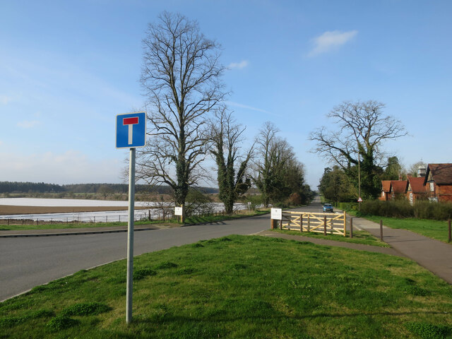
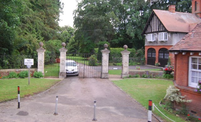
The centerpiece of Albemarle Plantation is the Albemarle Sound, a stunning body of water that offers breathtaking views and endless opportunities for outdoor recreation. Residents can enjoy a variety of water activities such as boating, fishing, kayaking, and paddleboarding. The plantation also boasts a marina and boat slips, making it convenient for boat owners to access the water.
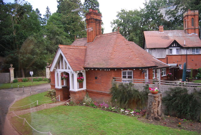
In addition to the natural beauty, Albemarle Plantation offers numerous amenities to enhance the residents' quality of life. There is an 18-hole championship golf course, tennis courts, a swimming pool, and a fitness center. The community also features walking trails, perfect for leisurely strolls or invigorating hikes.
Overall, Albemarle Plantation is a haven for those seeking a peaceful and active lifestyle in a beautiful natural setting. With its breathtaking surroundings, luxurious amenities, and a strong sense of community, this plantation offers a truly idyllic living experience for its residents.
If you have any feedback on the listing, please let us know in the comments section below.
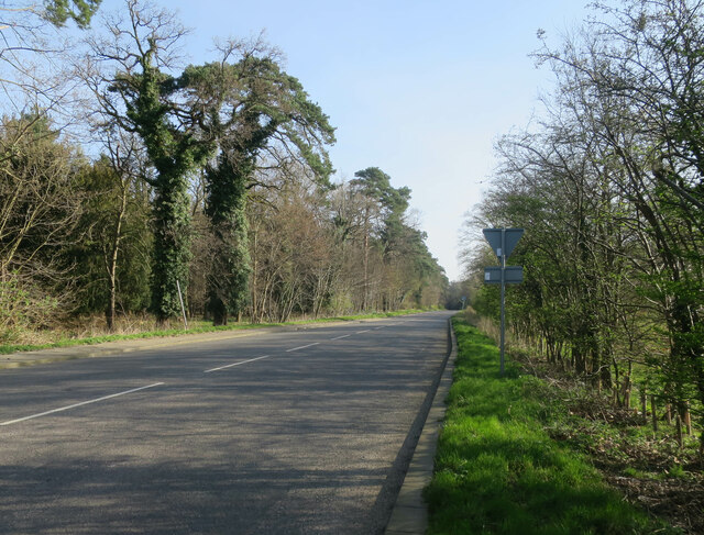
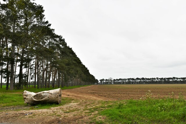
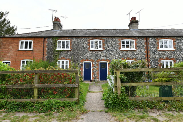
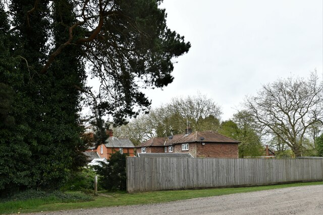
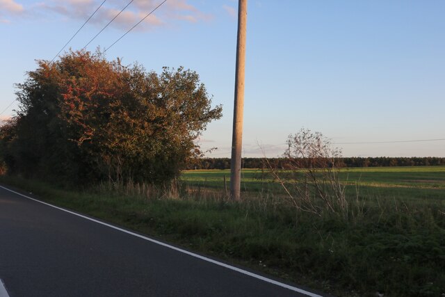
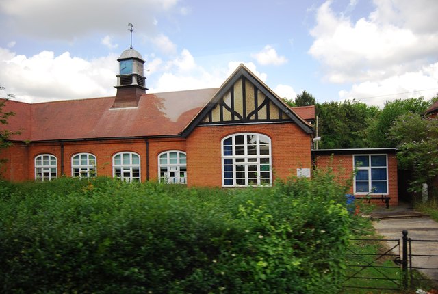
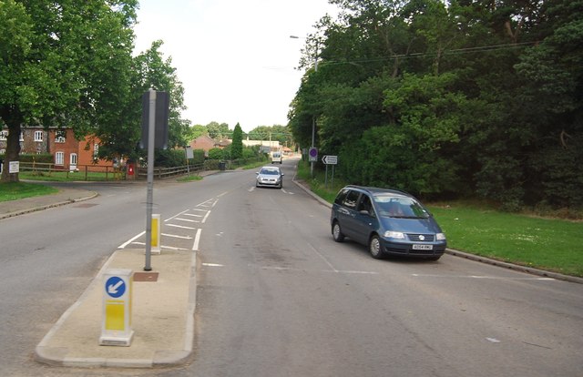
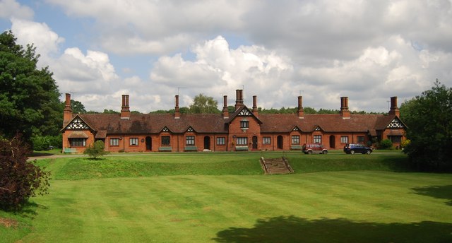
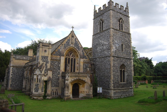
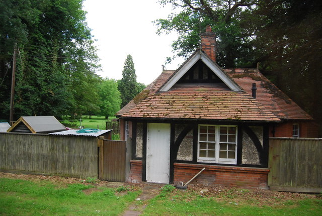
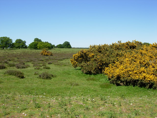
Albemarle Plantation Images
Images are sourced within 2km of 52.373838/0.6883247 or Grid Reference TL8378. Thanks to Geograph Open Source API. All images are credited.
Albemarle Plantation is located at Grid Ref: TL8378 (Lat: 52.373838, Lng: 0.6883247)
Administrative County: Suffolk
District: West Suffolk
Police Authority: Suffolk
What 3 Words
///turkeys.bulky.boils. Near Thetford, Norfolk
Related Wikis

Elveden Hall
Elveden Hall is a large stately home on the Elveden Estate in Elveden, Suffolk, England. The seat of the Earls of Iveagh, it is a Grade II* listed building...

Elveden
Elveden is a village and civil parish in the West Suffolk district of Suffolk in eastern England. In 2005 it had a population of 270. The village is bypassed...

Little Heath, Barnham
Little Heath, Barnham lies south-west of Barnham, Suffolk. Much of the area is now a Site of Special Scientific Interest, which almost surrounds the former...
Thetford Heaths
Thetford Heaths is a 270.6-hectare (669-acre) biological and geological Site of Special Scientific Interest in Suffolk. It is a Nature Conservation Review...

Breckland Forest
Breckland Forest is an 18,126 hectare biological and geological Site of Special Scientific Interest in many separate areas between Swaffham in Norfolk...

Barnham railway station (Suffolk)
Barnham railway station is a former station in Barnham, Suffolk on a now closed line between Thetford and Bury St Edmunds. It was located close to the...

Brandon Rural District
Brandon was a rural district in Suffolk, England from 1894 to 1935. The district was created in 1894 as the Suffolk part of the Thetford rural sanitary...

Berner's Heath
Berner's Heath is a 236.9-hectare (585-acre) biological Site of Special Scientific Interest north-east of Icklingham in Suffolk. It is a Nature Conservation...
Nearby Amenities
Located within 500m of 52.373838,0.6883247Have you been to Albemarle Plantation?
Leave your review of Albemarle Plantation below (or comments, questions and feedback).