Great Covert

Wood, Forest in Norfolk Breckland

England

Great Covert

Paddock at Lynford Arboretum The best place to see Hawfinch in the Brecks, see <a href="https://www.geograph.org.uk/photo/1036176">TL8293 : Hawfinch (Coccothraustes coccothraustes)</a>
Paddock at Lynford Arboretum Credit: Hugh Venables

Great Covert, located in Norfolk, England, is a captivating woodland area teeming with natural beauty and rich biodiversity. Spread across a vast expanse, this enchanting forest offers a tranquil retreat for nature enthusiasts and outdoor adventurers alike.

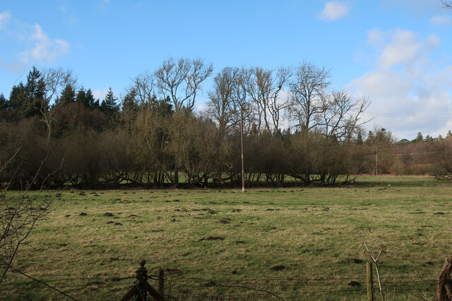
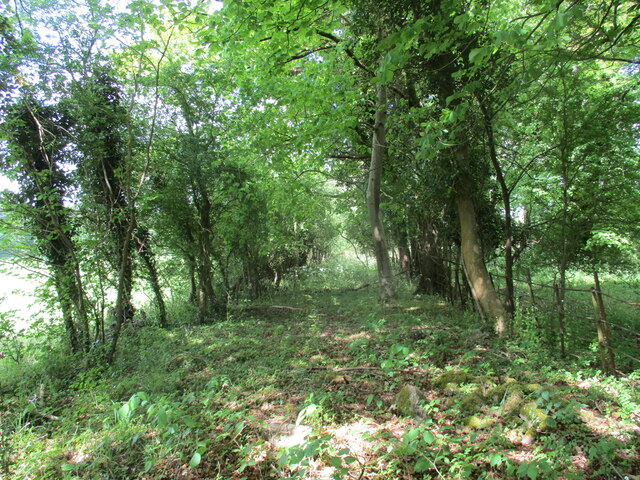
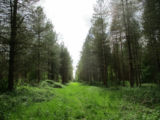
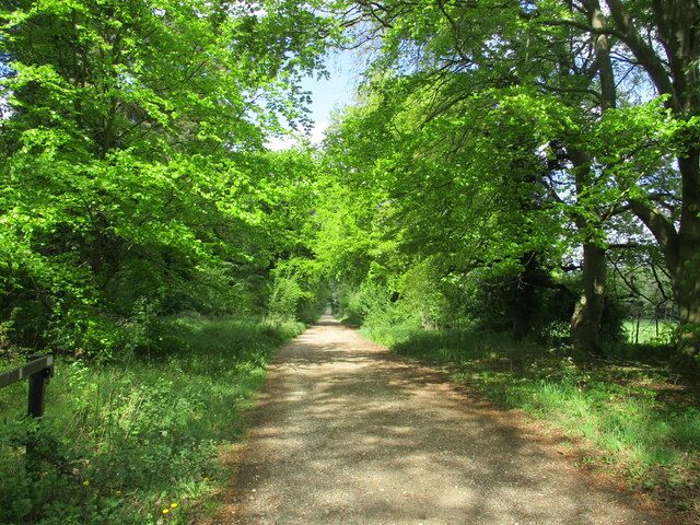
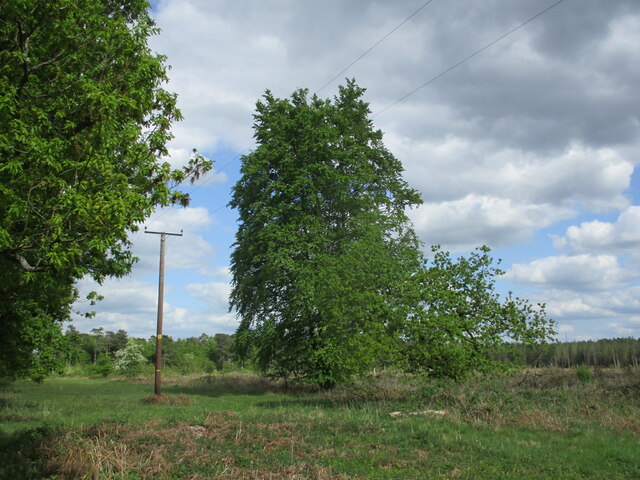
The woodland is predominantly composed of a variety of towering deciduous trees, including oak, beech, and birch, which create a dense canopy overhead. The interwoven branches provide ample shade, casting dappled sunlight onto the forest floor below. The ground is blanketed with a lush carpet of mosses, ferns, and wildflowers, adding to the scenic beauty of the area.

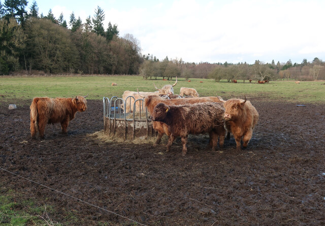
Great Covert is home to an array of wildlife, making it an ideal destination for birdwatchers and animal lovers. Rare bird species such as the Eurasian hobby and the lesser spotted woodpecker can be spotted flitting through the treetops, while smaller songbirds fill the air with their melodic tunes. Mammals such as deer, foxes, and badgers also call this woodland home, often leaving traces of their presence through tracks and burrows.

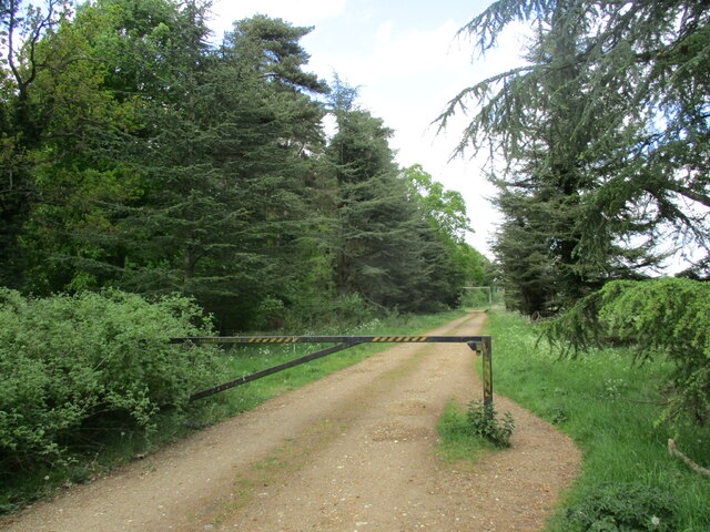
Traversing the forest, visitors can find a network of well-maintained walking trails, allowing them to explore the area at their own pace. These paths wind through the trees, offering glimpses of hidden ponds and streams that further enhance the natural allure of Great Covert. Additionally, designated picnic areas and benches are thoughtfully placed throughout the woodland, providing visitors with the opportunity to rest and appreciate the serene surroundings.

Overall, Great Covert in Norfolk is a captivating woodland retreat that beckons nature enthusiasts with its abundant flora, diverse fauna, and peaceful ambiance. Whether one seeks a leisurely stroll or a more immersive wildlife experience, this forest offers a captivating escape into the heart of nature.

If you have any feedback on the listing, please let us know in the comments section below.

Great Covert Images

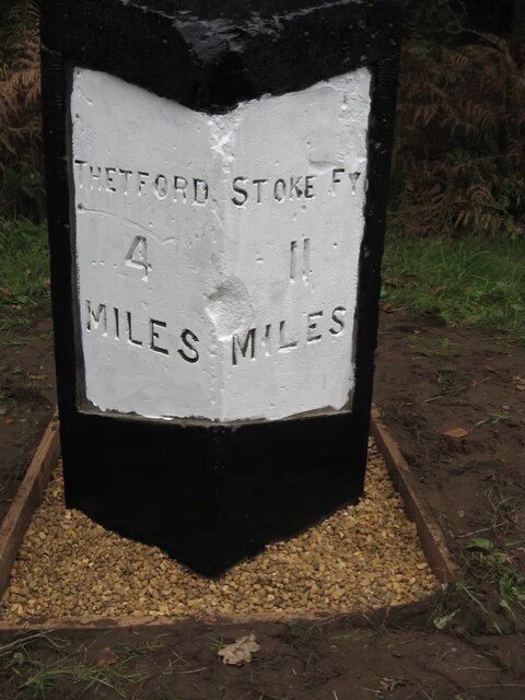
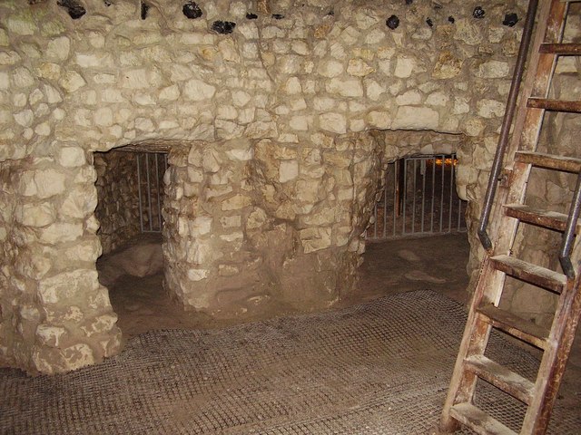
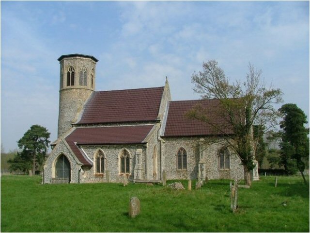
Images are sourced within 2km of 52.498312/0.69587076 or Grid Reference TL8392. Thanks to Geograph Open Source API. All images are credited.

Paddock at Lynford Arboretum The best place to see Hawfinch in the Brecks, see <a href="https://www.geograph.org.uk/photo/1036176">TL8293 : Hawfinch (Coccothraustes coccothraustes)</a>
Paddock at Lynford Arboretum
The best place to see Hawfinch in the Brecks, see TL8293 : Hawfinch (Coccothraustes coccothraustes)
Paddock at Lynford Arboretum
Forest track at Lynford
Overgrown track to the church of Our Lady of Consolation and St. Stephen, Lynford
Ride in Big Wood, Lynford
Clear felled area near Lynford
Forest track at Lynford
Restoration at the Church of Our Lady of Consolation and St Stephen, Lynford The church was built in 1879 and designed by Henry Clutton <span class="nowrap"><a title="https://historicengland.org.uk/listing/the-list/list-entry/1077247?section=official-list-entry" rel="nofollow ugc noopener" href="https://historicengland.org.uk/listing/the-list/list-entry/1077247?section=official-list-entry">Link</a><img style="margin-left:2px;" alt="External link" title="External link - shift click to open in new window" src="https://s1.geograph.org.uk/img/external.png" width="10" height="10"/></span>
Restoration at the Church of Our Lady of Consolation and St Stephen, Lynford
The church was built in 1879 and designed by Henry Clutton LinkExternal link
Remaining tree This area has been clear felled but one or two trees remain.
Remaining tree
This area has been clear felled but one or two trees remain.
Old Milestone by the A134, north of Lynford Carved stone post by the A134, in parish of Lynford (Breckland District), West Tofts Heath, on the verge, on East side of road. Erected by the Bury St Edmunds to Cranwich turnpike trust in the 19th century. An earlier photograph can be found here <a title="https://www.geograph.org.uk/photo/6035325" href="https://www.geograph.org.uk/photo/6035325">Link</a>.

Inscription reads:-
: THETFORD / 4 / MILES : : STOKE FY / 11 / MILES :
Carved benchmark on top.

Norfolk HER listed. NHER Number: 56804 <span class="nowrap"><a title="https://www.heritagegateway.org.uk/Gateway/Results_Single.aspx?uid=MNF63218&resourceID=1002" rel="nofollow ugc noopener" href="https://www.heritagegateway.org.uk/Gateway/Results_Single.aspx?uid=MNF63218&resourceID=1002">Link</a><img style="margin-left:2px;" alt="External link" title="External link - shift click to open in new window" src="https://s1.geograph.org.uk/img/external.png" width="10" height="10"/></span>

Milestone Society National ID: NO_SFT11
Old Milestone by the A134, north of Lynford
Carved stone post by the A134, in parish of Lynford (Breckland District), West Tofts Heath, on the verge, on East side of road. Erected by the Bury St Edmunds to Cranwich turnpike trust in the 19th century. An earlier photograph can be found here Link. Inscription reads:- : THETFORD / 4 / MILES : : STOKE FY / 11 / MILES : Carved benchmark on top. Norfolk HER listed. NHER Number: 56804 LinkExternal link Milestone Society National ID: NO_SFT11
Path through Big Wood Close to Lynford Stag car park <a href="https://www.geograph.org.uk/photo/1456866">TL8191 : Lynford Stag</a>, hence the bench. This area is within the open access land that makes up a large part of Thetford Forest.
Path through Big Wood
Close to Lynford Stag car park TL8191 : Lynford Stag, hence the bench. This area is within the open access land that makes up a large part of Thetford Forest.
Path through Big Wood Looking back towards the Lynford Stag car park.
Path through Big Wood
Looking back towards the Lynford Stag car park.
Path through Big Wood Heading towards Lynford Arboretum.
Path through Big Wood
Heading towards Lynford Arboretum.
Track in Thetford Forest Most of the forest is designated as open access land so you are free to wander down any of the tracks.
Track in Thetford Forest
Most of the forest is designated as open access land so you are free to wander down any of the tracks.
Lynford Arboretum paddocks Looking towards Lynford Hall Hotel.
Lynford Arboretum paddocks
Looking towards Lynford Hall Hotel.
Lynford Arboretum lake Alders growing on the island.
Lynford Arboretum lake
Alders growing on the island.
Ash Carr Dry part of the woodland by Lynford Arboretum.
Ash Carr
Dry part of the woodland by Lynford Arboretum.
Path around Ash Carr The path is from Lynford Arboretum. The other side of the fence is STANTA (Stanford Training Area) a British Army infantry training area.
Path around Ash Carr
The path is from Lynford Arboretum. The other side of the fence is STANTA (Stanford Training Area) a British Army infantry training area.
Show me another place!

Great Covert is located at Grid Ref: TL8392 (Lat: 52.498312, Lng: 0.69587076)

Administrative County: Norfolk

District: Breckland

Police Authority: Norfolk

What 3 Words

///washroom.poet.tarred. Near Mundford, Norfolk

Related Wikis

West Tofts

West Tofts is a deserted village dating back to the medieval period, which was emparked in the 18th century. It is located in the civil parish of Lynford...

Lynford

Lynford is a village and civil parish in the Breckland District of Norfolk. The parish covers an area of 24.72 km2 (9.54 sq mi), and the 2001 Census recorded...

Lynford Hall

Lynford Hall is a neo-Jacobean country house at Mundford, near Thetford in the English county of Norfolk. It is now a hotel. == Location == The Lynford...

Buckenham Tofts

Buckenham Tofts (or Buckenham Parva; Little Buckenham) is a former civil parish, now in the parish of Stanford, in the Breckland district, in the county...

Thetford Rural District

Thetford Rural District was a rural district in Norfolk, England from 1894 to 1935.It was formed under the Local Government Act 1894 based on the Thetford...

Grime's Graves

Grime's Graves is a large Neolithic flint mining complex in Norfolk, England. It lies 8 km (5.0 mi) north east from Brandon, Suffolk in the East of England...

Mundford

Mundford is a village and civil parish in the English county of Norfolk. It is situated at the intersection of two major routes, the A134 Colchester to...

Stanford, Norfolk

Stanford is a deserted village and civil parish in the English county of Norfolk. It is situated 7+1⁄2 miles (12 km) north of the town of Thetford and...

Nearby Amenities

Located within 500m of 52.498312,0.69587076
Give Way
Lat/Long: 52.4982601/0.7009713
Give Way
Lat/Long: 52.4983301/0.7010939
Barrier: yes
Lat/Long: 52.4964637/0.6986684
The data included in this document is from www.openstreetmap.org. The data is made available under ODbL.

Have you been to Great Covert?

Leave your review of Great Covert below (or comments, questions and feedback).