Basin Wood

Wood, Forest in Suffolk West Suffolk

England

Basin Wood

London Road, Elveden The former A11, from before the dualling and bypass.
London Road, Elveden Credit: Hugh Venables

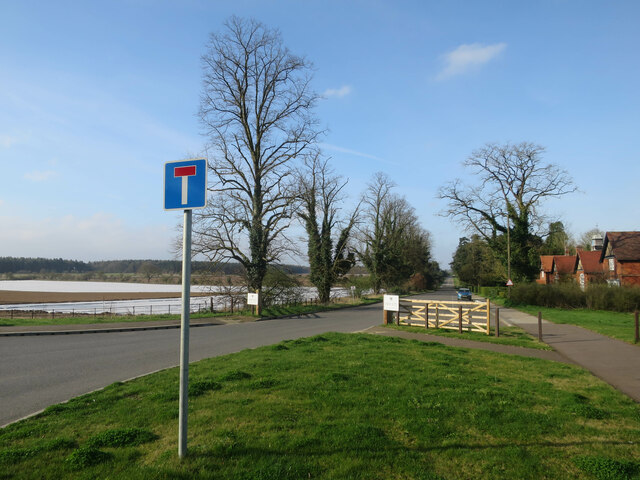
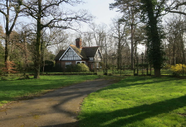
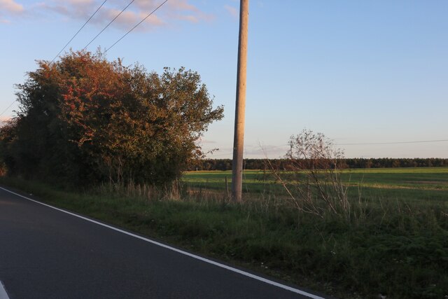
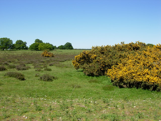
Basin Wood is a picturesque woodland located in the county of Suffolk, England. It is known for its natural beauty, diverse wildlife, and tranquil atmosphere, making it a popular destination for nature enthusiasts and hikers alike.

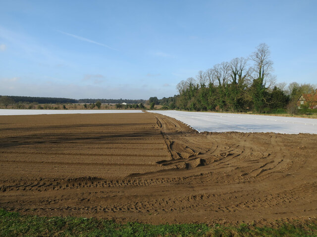
Covering an area of approximately 100 hectares, Basin Wood is predominantly composed of deciduous trees such as oak, beech, and birch. These towering trees create a dense canopy, providing shade and shelter for the various plants and animals that call the forest their home.

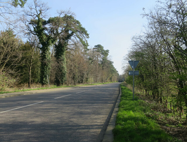
The woodland is crisscrossed by a network of well-maintained footpaths and trails, allowing visitors to explore its enchanting surroundings. As one wanders through the woods, they may come across babbling brooks, small ponds, and hidden clearings, adding to the sense of adventure and discovery.

The diverse wildlife found in Basin Wood is another highlight of the area. Deer, squirrels, and rabbits are commonly spotted darting between the trees, while a variety of bird species can be heard singing their melodious tunes from the treetops. The woodland also harbors a range of insects, including butterflies and dragonflies, adding bursts of color to the natural landscape.

In addition to its natural wonders, Basin Wood offers recreational activities such as picnicking, bird watching, and photography. It is a popular spot for families and individuals looking to escape the hustle and bustle of everyday life and reconnect with nature.

Overall, Basin Wood is a charming and serene woodland that showcases the beauty of Suffolk's countryside. Its diverse flora and fauna, coupled with its peaceful ambiance, make it a must-visit destination for nature lovers and those seeking a tranquil retreat.

If you have any feedback on the listing, please let us know in the comments section below.
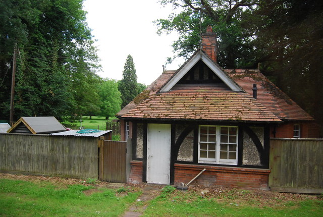
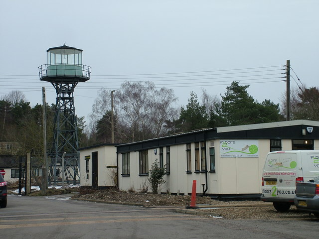
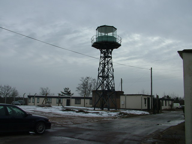
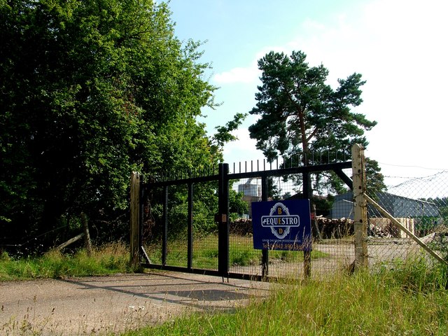
Basin Wood Images

Images are sourced within 2km of 52.377674/0.69440608 or Grid Reference TL8378. Thanks to Geograph Open Source API. All images are credited.

London Road, Elveden The former A11, from before the dualling and bypass.
London Road, Elveden
The former A11, from before the dualling and bypass.
Field by Elveden
Field by Elveden
House in Elveden Now considerably more peaceful after the A11 bypass around the village as part of the dualling of the road.
House in Elveden
Now considerably more peaceful after the A11 bypass around the village as part of the dualling of the road.
London Road, Elveden The former A11.
London Road, Elveden
The former A11.
Elveden Road on Thetford Heath
B1106, Elveden
B1106, Elveden
Cottage Homes, Elveden Grade II listed almshouses built in 1900. <span class="nowrap"><a title="http://www.britishlistedbuildings.co.uk/en-275761-cottage-homes-1-7-elveden" rel="nofollow ugc noopener" href="http://www.britishlistedbuildings.co.uk/en-275761-cottage-homes-1-7-elveden">Link</a><img style="margin-left:2px;" alt="External link" title="External link - shift click to open in new window" src="https://s1.geograph.org.uk/img/external.png" width="10" height="10"/></span>
Cottage Homes, Elveden
Grade II listed almshouses built in 1900. LinkExternal link
Elveden Post Office
Elveden Post Office
Cottage by the A11, Elveden
Gates, Elveden Hall
Gates, Elveden Hall
Gate Lodge, Elveden Hall
Church of St Andrew and St Patrick, Elveden Grade II* listed. <span class="nowrap"><a title="http://www.britishlistedbuildings.co.uk/en-275762-church-of-st-andrew-and-st-patrick-elved" rel="nofollow ugc noopener" href="http://www.britishlistedbuildings.co.uk/en-275762-church-of-st-andrew-and-st-patrick-elved">Link</a><img style="margin-left:2px;" alt="External link" title="External link - shift click to open in new window" src="https://s1.geograph.org.uk/img/external.png" width="10" height="10"/></span>
Church of St Andrew and St Patrick, Elveden
Grade II* listed. LinkExternal link
Small cottage by the A11
B1106, south, Elveden
Arable land by the A11
Watchtower at former RAF Barnham This watchtower is freshly painted, and the site around it is having a new concrete fence built. 

The site at RAF Barnham was built to assemble and maintain half the UK nuclear weapons in the 1950s, though the greater Barnham site had been in use in the second world war. The nuclear part of its history is given here <span class="nowrap"><a title="http://www.derelictplaces.co.uk/main/showthread.php?t=15992" rel="nofollow ugc noopener" href="http://www.derelictplaces.co.uk/main/showthread.php?t=15992">Link</a><img style="margin-left:2px;" alt="External link" title="External link - shift click to open in new window" src="https://s1.geograph.org.uk/img/external.png" width="10" height="10"/></span>

Across the road you can see some railway lines. These originally carried an electrically operated gate, with control supervised from the building to the left. 

The area is now known as the Gorse Industrial Estate.
Watchtower at former RAF Barnham
This watchtower is freshly painted, and the site around it is having a new concrete fence built. The site at RAF Barnham was built to assemble and maintain half the UK nuclear weapons in the 1950s, though the greater Barnham site had been in use in the second world war. The nuclear part of its history is given here LinkExternal link Across the road you can see some railway lines. These originally carried an electrically operated gate, with control supervised from the building to the left. The area is now known as the Gorse Industrial Estate.
Watchtower at former RAF Barnham site For details see <a href="https://www.geograph.org.uk/photo/2813332">TL8579 : Watchtower at former RAF Barnham</a>. 

My MG ZS180 makes another Geograph appearance.
Watchtower at former RAF Barnham site
For details see TL8579 : Watchtower at former RAF Barnham. My MG ZS180 makes another Geograph appearance.
Equestro Bed occupy former military site The Little Heath military site has had an interesting history - tank testing in WW1, chemical storage in WW2 and later, illegal tyre storage, a tank museum, and now Equestro, who appear to make horse bedding from wood.

For more of the history, slightly out of date, see <span class="nowrap"><a title="http://www.subbrit.org.uk/sb-sites/sites/l/little_heath_forward_filling_depot/index.shtml" rel="nofollow ugc noopener" href="http://www.subbrit.org.uk/sb-sites/sites/l/little_heath_forward_filling_depot/index.shtml">Link</a><img style="margin-left:2px;" alt="External link" title="External link - shift click to open in new window" src="https://s1.geograph.org.uk/img/external.png" width="10" height="10"/></span>
Equestro Bed occupy former military site
The Little Heath military site has had an interesting history - tank testing in WW1, chemical storage in WW2 and later, illegal tyre storage, a tank museum, and now Equestro, who appear to make horse bedding from wood. For more of the history, slightly out of date, see LinkExternal link
Show me another place!

Basin Wood is located at Grid Ref: TL8378 (Lat: 52.377674, Lng: 0.69440608)

Administrative County: Suffolk

District: West Suffolk

Police Authority: Suffolk

What 3 Words

///anguished.cured.vast. Near Thetford, Norfolk

Related Wikis

Elveden Hall

Elveden Hall is a large stately home on the Elveden Estate in Elveden, Suffolk, England. The seat of the Earls of Iveagh, it is a Grade II* listed building...

Elveden

Elveden is a village and civil parish in the West Suffolk district of Suffolk in eastern England. In 2005 it had a population of 270. The village is bypassed...

Little Heath, Barnham

Little Heath, Barnham lies south-west of Barnham, Suffolk. Much of the area is now a Site of Special Scientific Interest, which almost surrounds the former...

Thetford Heaths

Thetford Heaths is a 270.6-hectare (669-acre) biological and geological Site of Special Scientific Interest in Suffolk. It is a Nature Conservation Review...

Breckland Forest

Breckland Forest is an 18,126 hectare biological and geological Site of Special Scientific Interest in many separate areas between Swaffham in Norfolk...

Barnham railway station (Suffolk)

Barnham railway station is a former station in Barnham, Suffolk on a now closed line between Thetford and Bury St Edmunds. It was located close to the...

Brandon Rural District

Brandon was a rural district in Suffolk, England from 1894 to 1935. The district was created in 1894 as the Suffolk part of the Thetford rural sanitary...

RAF Barnham

RAF Barnham (also called Barnham Camp) is a Royal Air Force station situated in the English county of Suffolk 2 miles (3.2 km) south of the Norfolk town...

Nearby Amenities

Located within 500m of 52.377674,0.69440608
Power: pole
Lat/Long: 52.3750229/0.7001935
Power: pole
Lat/Long: 52.3743449/0.6991286
The data included in this document is from www.openstreetmap.org. The data is made available under ODbL.

Have you been to Basin Wood?

Leave your review of Basin Wood below (or comments, questions and feedback).