Coronation Covert
Wood, Forest in Suffolk West Suffolk
England
Coronation Covert
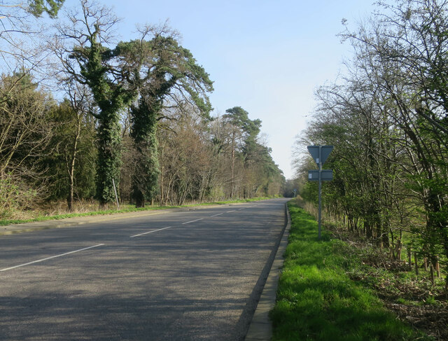
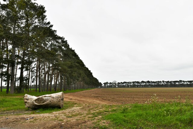
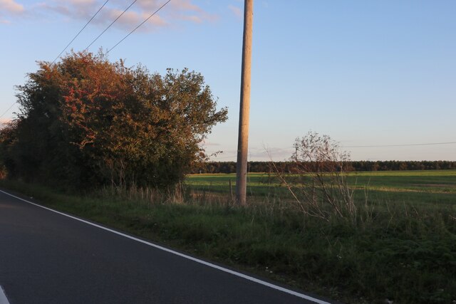
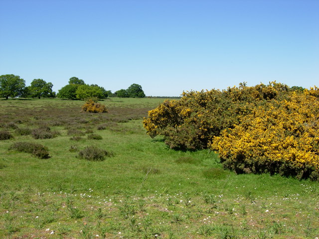
Coronation Covert, located in Suffolk, England, is a picturesque woodland area renowned for its natural beauty and tranquil atmosphere. This enchanting forest, also known as Coronation Wood, covers an expansive area of approximately 200 acres.
The woodland is predominantly made up of native tree species, including oak, birch, and beech, creating a diverse and rich ecosystem. The dense canopy of leaves allows only dappled sunlight to penetrate through, adding to the ethereal ambiance of the forest. The forest floor is covered in a lush carpet of ferns, wildflowers, and mosses, creating a vibrant and colorful undergrowth.
Coronation Covert is home to a variety of wildlife, making it a haven for nature enthusiasts and birdwatchers. The forest provides a suitable habitat for numerous bird species, such as woodpeckers, owls, and various songbirds. Visitors may also spot mammals like deer, foxes, and rabbits, as well as smaller creatures like squirrels and hedgehogs.
The woodland offers several well-maintained walking trails and footpaths, allowing visitors to explore the beauty of the forest at their own pace. These paths wind through the trees, leading to hidden clearings and peaceful glades, perfect for picnics or quiet contemplation. The tranquil setting of Coronation Covert provides an ideal escape from the hustle and bustle of everyday life, allowing visitors to immerse themselves in the wonders of nature.
Overall, Coronation Covert in Suffolk is a captivating woodland that showcases the natural beauty of the region. Its diverse flora and fauna, coupled with its peaceful ambiance, make it a must-visit destination for nature lovers and those seeking a tranquil retreat.
If you have any feedback on the listing, please let us know in the comments section below.
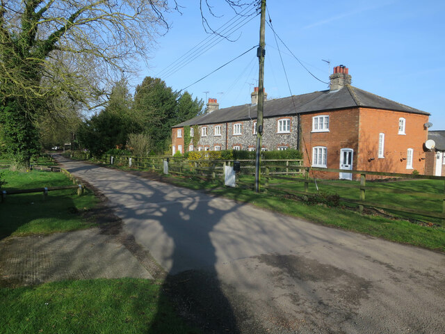
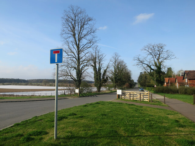
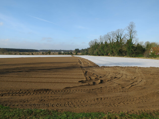
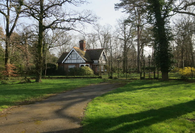
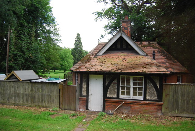
Coronation Covert Images
Images are sourced within 2km of 52.372036/0.68768631 or Grid Reference TL8378. Thanks to Geograph Open Source API. All images are credited.

Coronation Covert is located at Grid Ref: TL8378 (Lat: 52.372036, Lng: 0.68768631)
Administrative County: Suffolk
District: West Suffolk
Police Authority: Suffolk
What 3 Words
///enacts.jammy.boomer. Near Thetford, Norfolk
Related Wikis

Elveden Hall
Elveden Hall is a large stately home on the Elveden Estate in Elveden, Suffolk, England. The seat of the Earls of Iveagh, it is a Grade II* listed building...

Elveden
Elveden is a village and civil parish in the West Suffolk district of Suffolk in eastern England. In 2005 it had a population of 270. The village is bypassed...

Little Heath, Barnham
Little Heath, Barnham lies south-west of Barnham, Suffolk. Much of the area is now a Site of Special Scientific Interest, which almost surrounds the former...
Thetford Heaths
Thetford Heaths is a 270.6-hectare (669-acre) biological and geological Site of Special Scientific Interest in Suffolk. It is a Nature Conservation Review...

Breckland Forest
Breckland Forest is an 18,126 hectare biological and geological Site of Special Scientific Interest in many separate areas between Swaffham in Norfolk...

Barnham railway station (Suffolk)
Barnham railway station is a former station in Barnham, Suffolk on a now closed line between Thetford and Bury St Edmunds. It was located close to the...

Berner's Heath
Berner's Heath is a 236.9-hectare (585-acre) biological Site of Special Scientific Interest north-east of Icklingham in Suffolk. It is a Nature Conservation...

Brandon Rural District
Brandon was a rural district in Suffolk, England from 1894 to 1935. The district was created in 1894 as the Suffolk part of the Thetford rural sanitary...
Nearby Amenities
Located within 500m of 52.372036,0.68768631Have you been to Coronation Covert?
Leave your review of Coronation Covert below (or comments, questions and feedback).