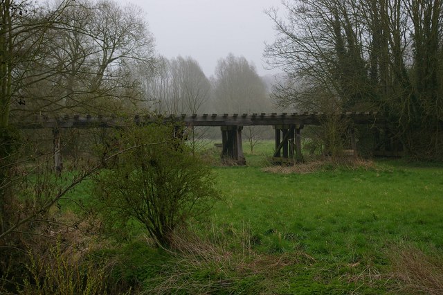
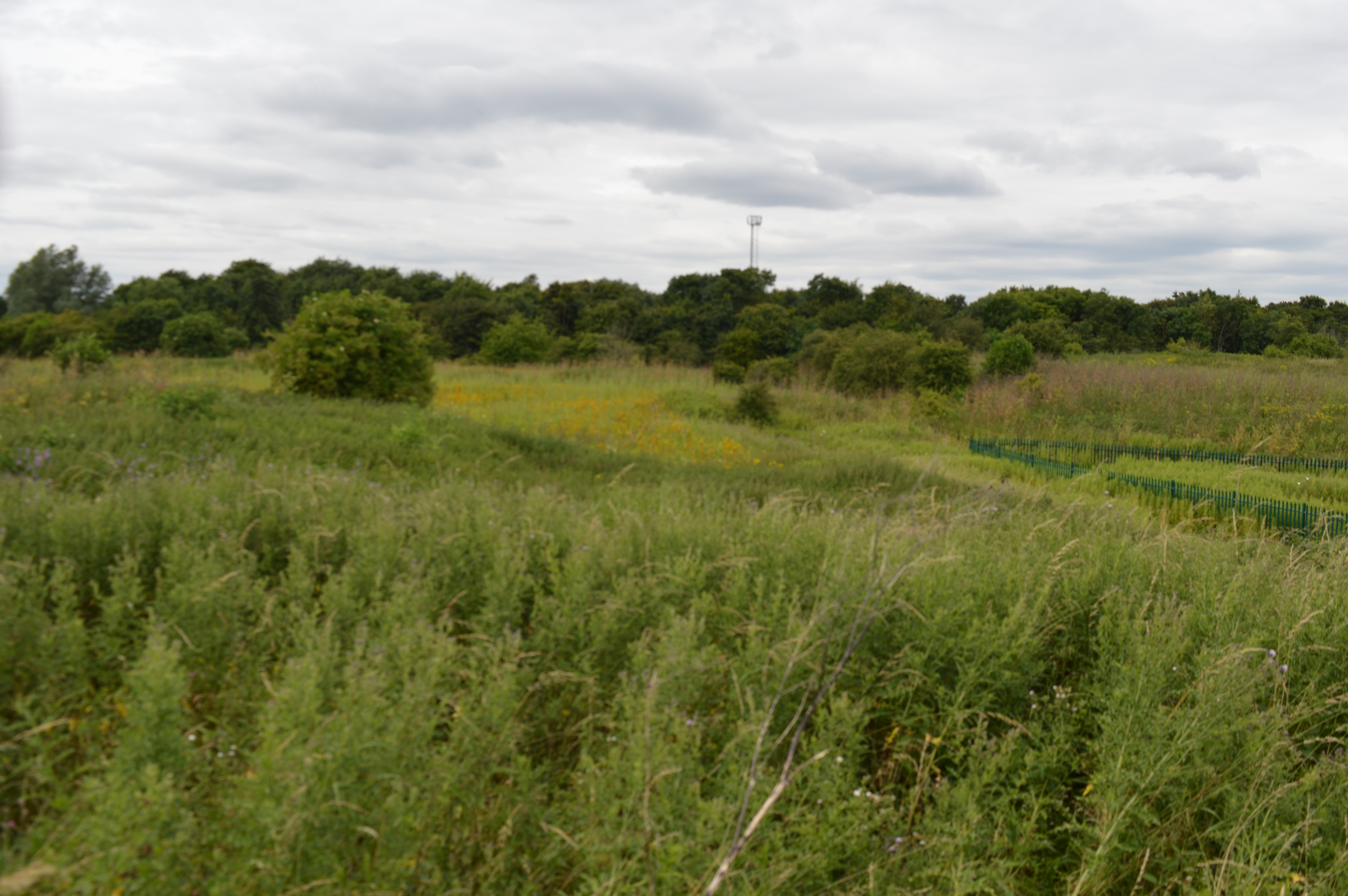
Sparkey Wood

Wood, Forest in Essex Maldon

England

Sparkey Wood

Malt House
Malt House Credit: Oast House Archive

Sparkey Wood is a picturesque forest located in the county of Essex, England. Covering an area of approximately 50 acres, this woodland is renowned for its natural beauty and abundance of flora and fauna. It is situated in close proximity to the village of Essex, making it easily accessible to both locals and visitors alike.

The wood is predominantly made up of deciduous trees, including oak, beech, and birch, which provide a stunning display of colors throughout the changing seasons. These trees create a dense canopy, offering shade and shelter to a diverse range of wildlife. Sparkey Wood is home to numerous species of birds, such as woodpeckers, thrushes, and owls, making it a haven for birdwatchers.

Walking through the wood, visitors can enjoy a network of well-maintained trails that meander through the peaceful surroundings. These trails offer an opportunity to immerse oneself in nature, with the gentle rustling of leaves and the occasional sighting of a deer or fox adding to the tranquility of the experience.

In addition to its natural beauty, Sparkey Wood also boasts a small clearing that serves as a picnic area. Here, visitors can relax and enjoy a family outing or a quiet moment of solitude, surrounded by the sights and sounds of the forest.

Overall, Sparkey Wood in Essex is a delightful destination for nature enthusiasts and those seeking respite from the hustle and bustle of everyday life. Its serene atmosphere, combined with its rich biodiversity, makes it a beloved spot for locals and a hidden gem for tourists exploring the region.

If you have any feedback on the listing, please let us know in the comments section below.

Sparkey Wood Images

Images are sourced within 2km of 51.781131/0.65294753 or Grid Reference TL8312. Thanks to Geograph Open Source API. All images are credited.

Maze south of Witham: aerial 2022
Witham Ford This ford is found under the bridge of the A12 at Witham.
Witham Ford
This ford is found under the bridge of the A12 at Witham.
Back Lane, Wickham Bishops As the central square for Essex it has little to stimulate major excitement.  My alternate image would have been wild rabbits in an adjacent field.  Back Lane is one of several single-track ways in the south side of Wickham Bishops.
Back Lane, Wickham Bishops
As the central square for Essex it has little to stimulate major excitement. My alternate image would have been wild rabbits in an adjacent field. Back Lane is one of several single-track ways in the south side of Wickham Bishops.
'The Chequers', Wickham Bishops, Essex This popular public house stands in the middle of Wickham Bishops. It is noted for its fine food.
'The Chequers', Wickham Bishops, Essex
This popular public house stands in the middle of Wickham Bishops. It is noted for its fine food.
Last Of The Line This is part of the only surviving wooden Railway Viaduct in England. It spans the River Blackwater ( see <a href="https://www.geograph.org.uk/photo/154072">TL8211 : Blackwater Viaduct</a>) and the mill stream shown here just outside Wickham Bishops. The Viaduct was built in 1846 during the 18 month long construction of the Witham to Maldon Railway. It carried traffic for 120 years before it was <a href="https://www.geograph.org.uk/photo/172473">TQ9498 : Beechinged</a> It was restored in 1995 and is now a scheduled Ancient Monument. Some detail of the construction may be seen at <a href="https://www.geograph.org.uk/photo/154073">TL8211 : Viaduct Vision</a>.
Last Of The Line
This is part of the only surviving wooden Railway Viaduct in England. It spans the River Blackwater ( see TL8211 : Blackwater Viaduct) and the mill stream shown here just outside Wickham Bishops. The Viaduct was built in 1846 during the 18 month long construction of the Witham to Maldon Railway. It carried traffic for 120 years before it was TQ9498 : Beechinged It was restored in 1995 and is now a scheduled Ancient Monument. Some detail of the construction may be seen at TL8211 : Viaduct Vision.
Seat for Moping about? This seat is at the junction of Mope Lane and Church Rd Wickham Bishops. It is conveniently located to see the comings and goings at the Old Rectory!
Seat for Moping about?
This seat is at the junction of Mope Lane and Church Rd Wickham Bishops. It is conveniently located to see the comings and goings at the Old Rectory!
Blackwater Viaduct This is part of the only surviving wooden railway viaduct in England, here it is crossing the Blackwater Valley. The River is beyond the left of the frame. After that it crosses a mill stream this can be seen at <a href="https://www.geograph.org.uk/photo/153888">TL8211 : Last Of The Line</a>. The Witham to Maldon railway was intended to be an economic artery stimulating the growth of Maldon as a significant port. This never really happened and the line closed in the 1960’s. A copy of the poster announcing the closure of the railway is displayed at Mancapps Railway Museum Burnham on Crouch see <a href="https://www.geograph.org.uk/photo/172473">TQ9498 : Beechinged</a>.
Blackwater Viaduct
This is part of the only surviving wooden railway viaduct in England, here it is crossing the Blackwater Valley. The River is beyond the left of the frame. After that it crosses a mill stream this can be seen at TL8211 : Last Of The Line. The Witham to Maldon railway was intended to be an economic artery stimulating the growth of Maldon as a significant port. This never really happened and the line closed in the 1960’s. A copy of the poster announcing the closure of the railway is displayed at Mancapps Railway Museum Burnham on Crouch see TQ9498 : Beechinged.
Viaduct Vision This shot shows some construction detail of the last remaining wooden railway viaduct in the country. Wooden Viaducts and bridges were cheap to build and rapid to construct. However wood rots with time and nearly all were replaced  with steel or masonry. It was universal that lines that had not merited investment during the course of the 20th century were closed during the Beeching era. This viaduct survived 40 years rotting away. Why it was not demolished as a safety hazard is a mystery to me. It was restored in 1995 and is now a scheduled ancient monument. A long shot of the viaduct can be seen at <a href="https://www.geograph.org.uk/photo/153888">TL8211 : Last Of The Line</a>
Viaduct Vision
This shot shows some construction detail of the last remaining wooden railway viaduct in the country. Wooden Viaducts and bridges were cheap to build and rapid to construct. However wood rots with time and nearly all were replaced with steel or masonry. It was universal that lines that had not merited investment during the course of the 20th century were closed during the Beeching era. This viaduct survived 40 years rotting away. Why it was not demolished as a safety hazard is a mystery to me. It was restored in 1995 and is now a scheduled ancient monument. A long shot of the viaduct can be seen at TL8211 : Last Of The Line
Old Maltings, Witham, Essex This old building has now been converted into living accommodation. It is now called The Oast House.
Old Maltings, Witham, Essex
This old building has now been converted into living accommodation. It is now called The Oast House.
Oliver's Nurseries, Witham, Essex
James Cooke Wood, near Witham, Essex
Cottage just southeast of Little Braxted, Essex This cottage is called Littlefields.
Cottage just southeast of Little Braxted, Essex
This cottage is called Littlefields.
Blue Mills Hill This road is called Blue Mills Hill after a mill that stands further along this road.
Blue Mills Hill
This road is called Blue Mills Hill after a mill that stands further along this road.
Blue Mills Bridge
Blue Mills Bridge
Hill Place
Hill Place
Footpath & Olivers Farm The footpath from Wickham Place runs along the hedgeline. The Farm in the distance is Olivers
Footpath & Olivers Farm
The footpath from Wickham Place runs along the hedgeline. The Farm in the distance is Olivers
Reusing a Railway This section of the old Witham to Maldon railway is now a public footpath.
Reusing a Railway
This section of the old Witham to Maldon railway is now a public footpath.
Show me another place!

Sparkey Wood is located at Grid Ref: TL8312 (Lat: 51.781131, Lng: 0.65294753)

Administrative County: Essex

District: Maldon

Police Authority: Essex

What 3 Words

///magma.loaded.behind. Near Wickham Bishops, Essex

Related Wikis

Wickham Bishops railway station

Wickham Bishops railway station served the village of Wickham Bishops, Essex. It was opened in 1848 by the Maldon, Witham & Braintree Railway (MWBR) on...
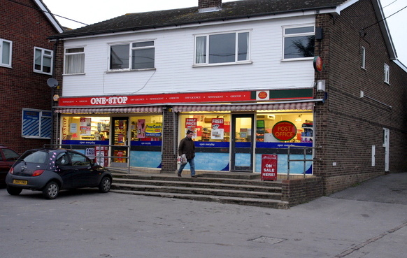
Wickham Bishops

Wickham Bishops is a village and civil parish in the Maldon district of Essex, England. It is located around three miles north of the town of Maldon and...

Whet Mead

Whet Mead is a 10.1 hectare Local Nature Reserve in Witham in Essex. It is owned and managed by Braintree District Council.This site was formerly a rubbish...

St Peter's Church, Wickham Bishops

St Peter's Church is a redundant church in the village of Wickham Bishops, Essex, England. It is recorded in the National Heritage List for England as...

Witham (UK Parliament constituency)

Witham is a parliamentary constituency in Essex represented by Dame Priti Patel in the House of Commons of the UK Parliament since its 2010 creation. She...
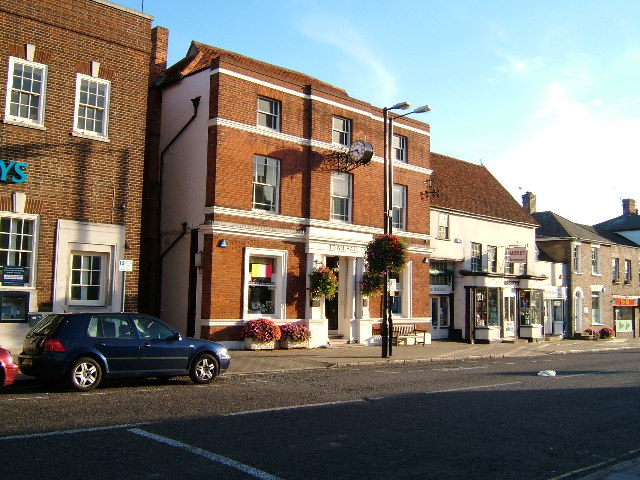
Witham

Witham () is a town in the county of Essex in the East of England, with a population (2011 census) of 25,353. It is part of the District of Braintree and...

Witham Town Hall

Witham Town Hall is a municipal building in Newland Street, Witham, Essex, England. The building, which is the meeting place of Witham Town Council, is...

Maltings Academy

Maltings Academy is a secondary school in Witham, Essex, it is the larger of two secondary schools in Witham. It is a relatively new school as it is a...

Nearby Amenities

Located within 500m of 51.781131,0.65294753
Crossing
Lat/Long: 51.783584/0.6473994
Crossing
Lat/Long: 51.7834748/0.647099
Crossing
Lat/Long: 51.7835104/0.6471309
The data included in this document is from www.openstreetmap.org. The data is made available under ODbL.

Have you been to Sparkey Wood?

Leave your review of Sparkey Wood below (or comments, questions and feedback).