Heath Belt
Wood, Forest in Suffolk West Suffolk
England
Heath Belt
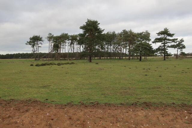
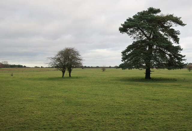
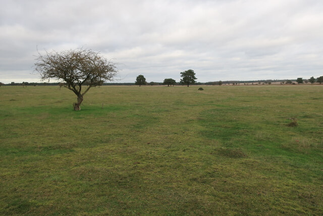
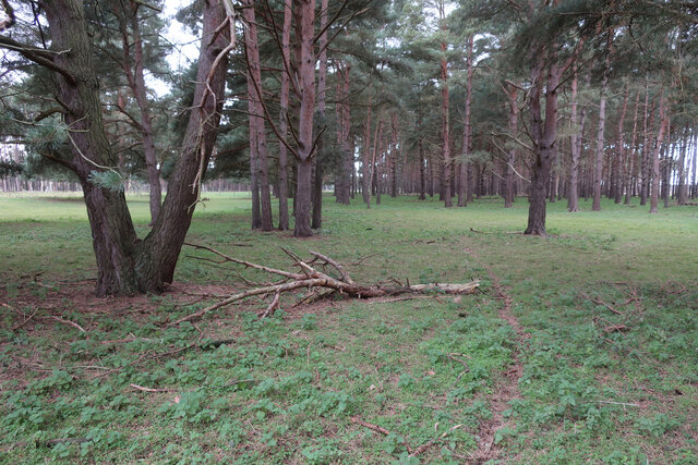
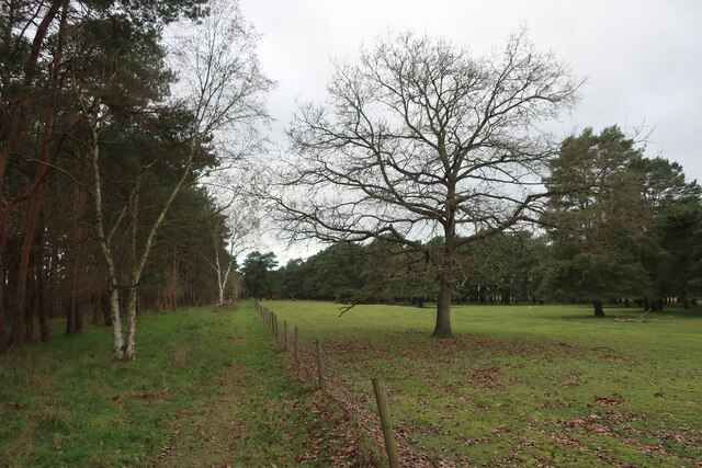
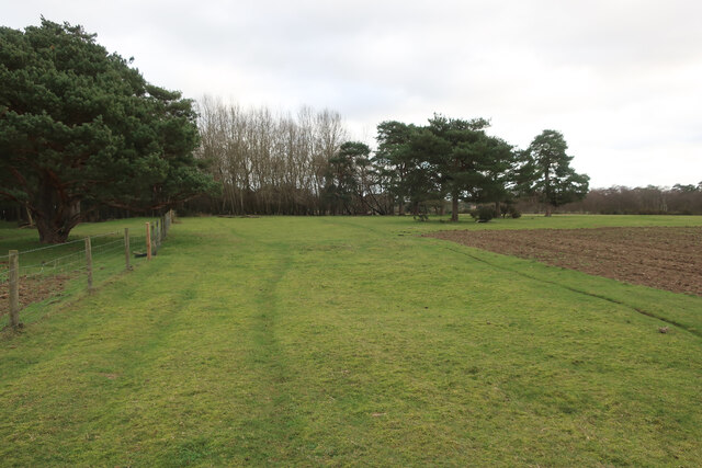
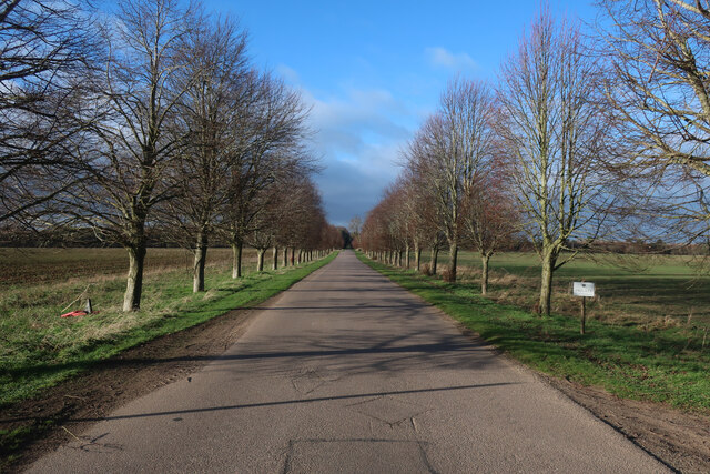
Heath Belt, Suffolk, also known as Wood or Forest, is a picturesque area located in the county of Suffolk, England. This enchanting region is renowned for its lush greenery, dense woodlands, and stunning natural landscapes. With an approximate area of 200 square miles, Heath Belt offers a tranquil retreat for nature enthusiasts and those seeking a peaceful escape from the bustling city life.
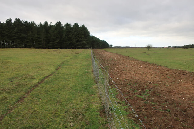
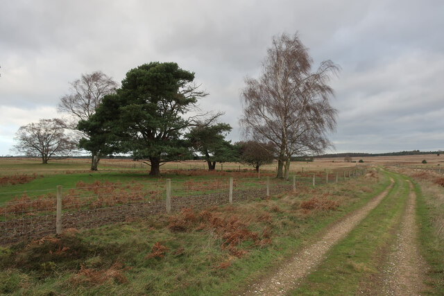
The woodlands in Heath Belt are characterized by a diverse range of trees, including oak, beech, and pine, which create a rich tapestry of colors throughout the year. This area is home to a wide variety of flora and fauna, making it a haven for wildlife lovers and birdwatchers. Visitors can spot rare species such as red deer, foxes, badgers, and numerous bird species, including owls and woodpeckers.
The region's natural beauty is further enhanced by its meandering rivers and sparkling streams, which provide a serene setting for walks and picnics. The woodlands are intersected by a network of well-maintained trails and footpaths, allowing visitors to explore the area at their own pace. These trails offer breathtaking views, hidden glades, and secluded spots that are ideal for relaxation or capturing stunning photographs.
In addition to its natural attractions, Heath Belt also boasts a rich historical heritage. The area features ancient archaeological sites, including burial mounds and Iron Age forts, which offer insights into the region's past. Visitors can also explore charming villages with traditional thatched cottages, quaint pubs, and local shops, providing a glimpse into the local way of life.
Heath Belt, Suffolk (Wood, Forest) truly offers a unique and idyllic experience for those seeking to immerse themselves in the beauty of nature and history.
If you have any feedback on the listing, please let us know in the comments section below.
Heath Belt Images
Images are sourced within 2km of 52.379347/0.59433507 or Grid Reference TL7678. Thanks to Geograph Open Source API. All images are credited.


Heath Belt is located at Grid Ref: TL7678 (Lat: 52.379347, Lng: 0.59433507)
Administrative County: Suffolk
District: West Suffolk
Police Authority: Suffolk
What 3 Words
///open.dumplings.headache. Near Lakenheath, Suffolk
Related Wikis

Lakenheath Warren
Lakenheath Warren is a 588.3-hectare (1,454-acre) biological Site of Special Scientific Interest south-east of Lakenheath in Suffolk, England. It is a...

Weather and Horn Heaths, Eriswell
Weather and Horn Heaths, Eriswell is a 133.3-hectare (329-acre) biological Site of Special Scientific Interest east of Eriswell in Suffolk. It is a Nature...

Breckland Farmland
Breckland Farmland is a 13,392.4 hectare biological Site of Special Scientific Interest (SSSI) in many separate areas between Swaffham in Norfolk and Bury...

How Hill Track
How Hill Track is a 3.1-hectare (7.7-acre) biological Site of Special Scientific Interest east of Mildenhall in Suffolk. It is in the Breckland Special...

Eriswell Low Warren
Eriswell Low Warren is a 7.4-hectare (18-acre) biological Site of Special Scientific Interest north-east of Eriswell in Suffolk. It is a Nature Conservation...

Foxhole Heath
Foxhole Heath is an 85.2-hectare (211-acre) biological Site of Special Scientific Interest east of Eriswell in Suffolk. It is a Nature Conservation Review...

Berner's Heath
Berner's Heath is a 236.9-hectare (585-acre) biological Site of Special Scientific Interest north-east of Icklingham in Suffolk. It is a Nature Conservation...

RAF Lakenheath
Royal Air Force Lakenheath or RAF Lakenheath (IATA: LKZ, ICAO: EGUL) is a Royal Air Force station near the village of Lakenheath in Suffolk, England, UK...
Have you been to Heath Belt?
Leave your review of Heath Belt below (or comments, questions and feedback).