Cooksey's Belt
Wood, Forest in Suffolk West Suffolk
England
Cooksey's Belt
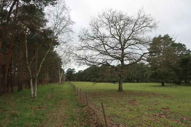
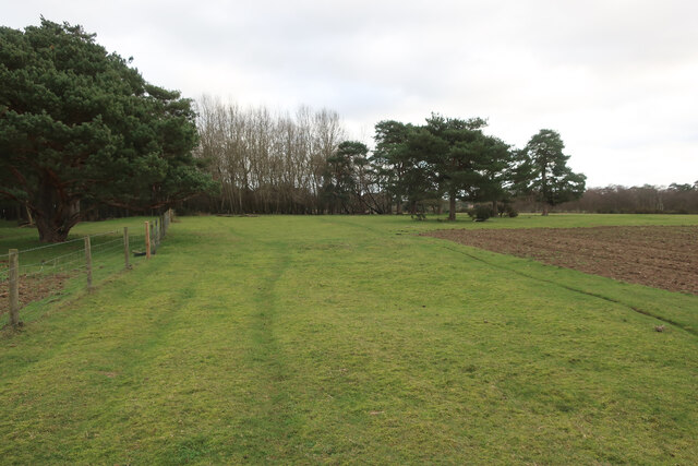
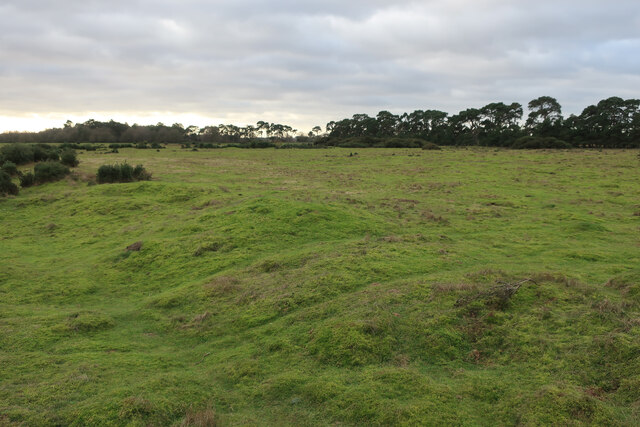
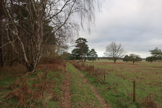
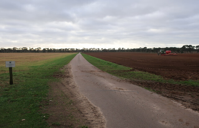
Cooksey's Belt is a woodland area located in Suffolk, England, known for its picturesque beauty and rich biodiversity. Spanning across several acres, this ancient forest is a part of the larger Suffolk Woodland and is a popular destination for nature enthusiasts and hikers.
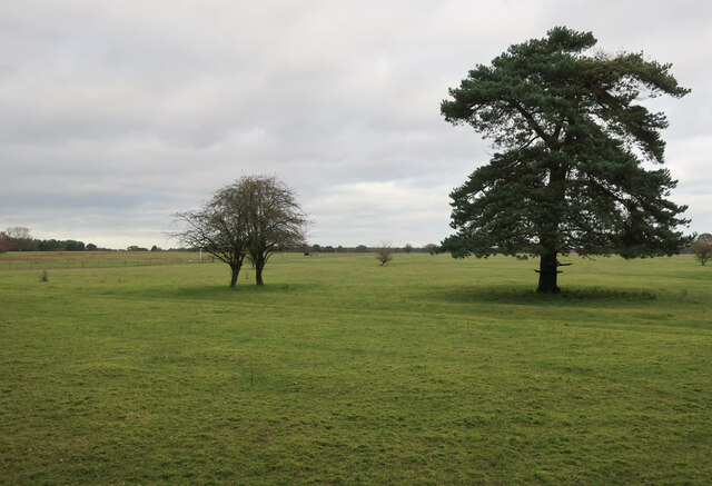
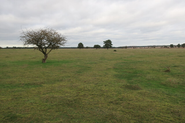
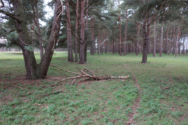
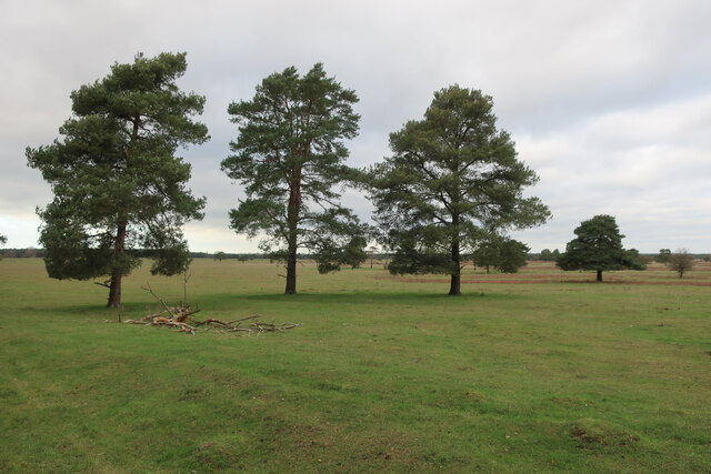
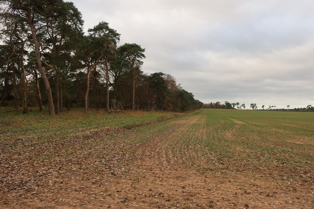
The woodland is characterized by a mix of deciduous and coniferous trees, including oak, beech, pine, and birch. The dense canopy provides a serene and sheltered environment, making it a haven for a variety of wildlife. Visitors can expect to spot numerous species of birds, such as woodpeckers, owls, and finches, as well as small mammals like squirrels and foxes.
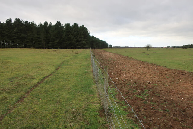
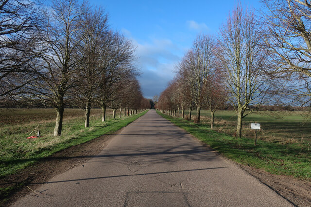
Cooksey's Belt offers a network of well-maintained walking trails, allowing visitors to explore the forest at their own pace. These trails wind through the woodland, offering glimpses of vibrant wildflowers, moss-covered rocks, and babbling brooks. The forest also boasts a small lake, where visitors can enjoy a peaceful picnic or try their hand at fishing.
Beyond its natural beauty, Cooksey's Belt holds historical significance. The forest has been preserved for centuries and has witnessed the passage of time, making it a place of cultural and archaeological importance. The area is also home to a few ancient ruins, including remnants of a medieval castle and a Roman road.
Overall, Cooksey's Belt in Suffolk is a captivating and diverse woodland, offering a tranquil escape from the bustling city life. With its stunning scenery, abundant wildlife, and historical charm, it is a must-visit destination for nature lovers and history enthusiasts alike.
If you have any feedback on the listing, please let us know in the comments section below.
Cooksey's Belt Images
Images are sourced within 2km of 52.373862/0.58450734 or Grid Reference TL7678. Thanks to Geograph Open Source API. All images are credited.


Cooksey's Belt is located at Grid Ref: TL7678 (Lat: 52.373862, Lng: 0.58450734)
Administrative County: Suffolk
District: West Suffolk
Police Authority: Suffolk
What 3 Words
///twinkled.highlighted.expert. Near Mildenhall, Suffolk
Related Wikis

Lakenheath Warren
Lakenheath Warren is a 588.3-hectare (1,454-acre) biological Site of Special Scientific Interest south-east of Lakenheath in Suffolk, England. It is a...

How Hill Track
How Hill Track is a 3.1-hectare (7.7-acre) biological Site of Special Scientific Interest east of Mildenhall in Suffolk. It is in the Breckland Special...

Eriswell Low Warren
Eriswell Low Warren is a 7.4-hectare (18-acre) biological Site of Special Scientific Interest north-east of Eriswell in Suffolk. It is a Nature Conservation...

Foxhole Heath
Foxhole Heath is an 85.2-hectare (211-acre) biological Site of Special Scientific Interest east of Eriswell in Suffolk. It is a Nature Conservation Review...

Weather and Horn Heaths, Eriswell
Weather and Horn Heaths, Eriswell is a 133.3-hectare (329-acre) biological Site of Special Scientific Interest east of Eriswell in Suffolk. It is a Nature...

Breckland Farmland
Breckland Farmland is a 13,392.4 hectare biological Site of Special Scientific Interest (SSSI) in many separate areas between Swaffham in Norfolk and Bury...

Eriswell
Eriswell is a village and civil parish of West Suffolk in the English county of Suffolk. About forty scattered archaeological finds have been made here...

Lordswell Field
Lordswell Field or Lord's Well Field is a 3.2-hectare (7.9-acre) biological Site of Special Scientific Interest in Eriswell in Suffolk. It is a Nature...
Nearby Amenities
Located within 500m of 52.373862,0.58450734Have you been to Cooksey's Belt?
Leave your review of Cooksey's Belt below (or comments, questions and feedback).