Gravelhill Plantation
Wood, Forest in Suffolk West Suffolk
England
Gravelhill Plantation

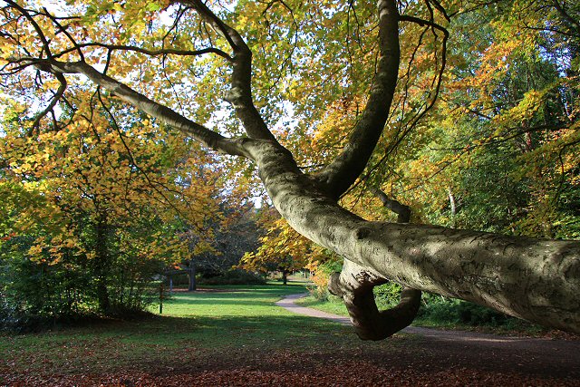
Gravelhill Plantation, located in Suffolk, is a picturesque woodland area that spans over a vast expanse of land. Known for its abundant flora and diverse wildlife, this plantation offers a serene and tranquil environment for nature enthusiasts and visitors seeking solace from the bustling city life.
Covering an area of several hectares, Gravelhill Plantation boasts a rich variety of trees, including oak, beech, and pine. These trees create an enchanting forest canopy, providing shade and shelter for the numerous animal species that call this place home. The plantation is also adorned with vibrant wildflowers, further adding to its natural beauty.
The woodland is home to a wide range of wildlife, making it an ideal spot for birdwatching and animal spotting. Visitors may catch a glimpse of deer gracefully roaming through the undergrowth or listen to the melodious chirping of various bird species. The plantation is also known for its resident badgers, foxes, and rabbits, which can occasionally be seen foraging for food.
Gravelhill Plantation offers various walking trails and paths that meander through the woodland. These paths are well-maintained, allowing visitors to explore the plantation at their own pace. Nature lovers can immerse themselves in the tranquility of the surroundings, breathing in the fresh forest air and appreciating the natural beauty that surrounds them.
Overall, Gravelhill Plantation in Suffolk is a haven for those seeking a peaceful escape into nature. With its diverse flora and fauna, it offers a unique opportunity to reconnect with the natural world and enjoy the serenity of the forest.
If you have any feedback on the listing, please let us know in the comments section below.
Gravelhill Plantation Images
Images are sourced within 2km of 52.435747/0.58821667 or Grid Reference TL7685. Thanks to Geograph Open Source API. All images are credited.


Gravelhill Plantation is located at Grid Ref: TL7685 (Lat: 52.435747, Lng: 0.58821667)
Administrative County: Suffolk
District: West Suffolk
Police Authority: Suffolk
What 3 Words
///varieties.gurgling.hammocks. Near Weeting, Norfolk
Nearby Locations
Related Wikis
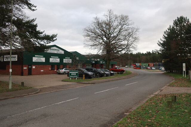
London Road Industrial Estate, Brandon
London Road Industrial Estate, Brandon is a 0.1-hectare (0.25-acre) biological Site of Special Scientific Interest (SSSI) in Brandon in Suffolk. This very...

Wangford Warren and Carr
Wangford Warren and Carr is a 67.8-hectare (168-acre) biological Site of Special Scientific Interest between Brandon and Lakenheath in Suffolk. It is...
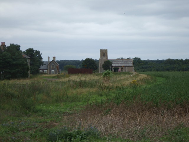
Wangford, West Suffolk
Wangford is a village and former civil parish, now in the parish of Brandon, in the West Suffolk district of the English county of Suffolk. The RAF Lakenheath...
Brandon Country Park
Brandon Country Park is a country park in Brandon, Suffolk, England. == History == In 1820 Edward Bliss bought Brandon Park house and grounds using wealth...
Nearby Amenities
Located within 500m of 52.435747,0.58821667Have you been to Gravelhill Plantation?
Leave your review of Gravelhill Plantation below (or comments, questions and feedback).