Diamond Jubilee Wood
Wood, Forest in Suffolk West Suffolk
England
Diamond Jubilee Wood
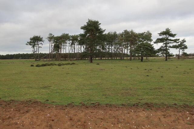
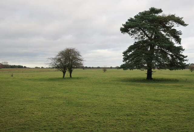
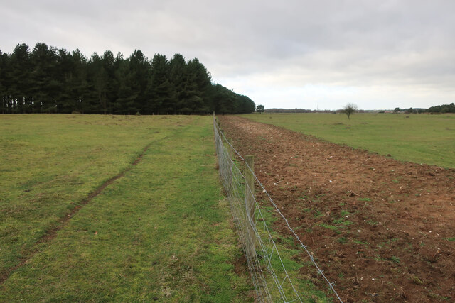
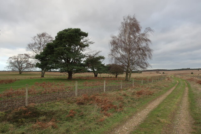
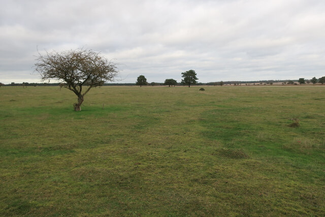
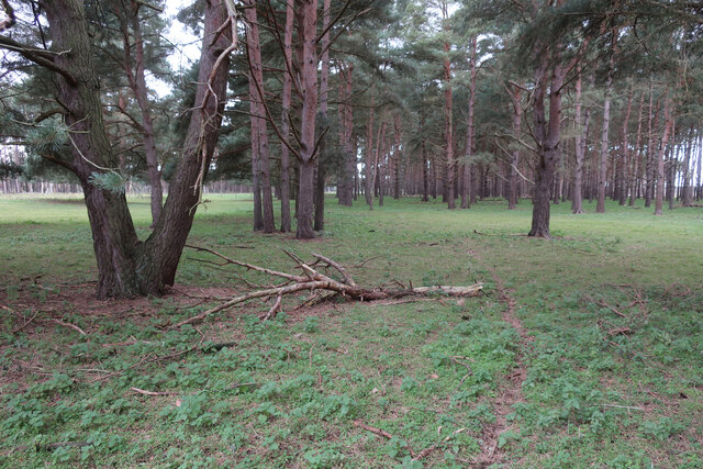
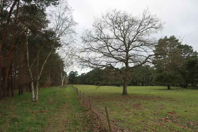
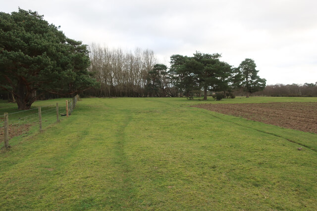
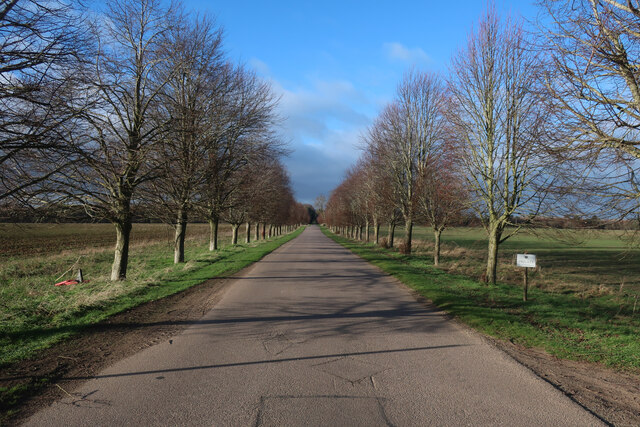
Diamond Jubilee Wood is a picturesque woodland located in Suffolk, England. The wood was created to commemorate Queen Elizabeth II's Diamond Jubilee in 2012 and covers an area of approximately 60 acres. It is a thriving woodland that offers a serene escape for nature enthusiasts and visitors alike.
The wood consists of a diverse range of tree species, including oak, ash, birch, and willow, which have been carefully planted to create a harmonious and sustainable ecosystem. The trees have grown significantly since the wood's establishment and now provide a valuable habitat for numerous wildlife species, including birds, mammals, and insects.
Visitors to Diamond Jubilee Wood can enjoy a network of well-maintained footpaths that meander through the woodland, providing opportunities for leisurely walks and exploration. Along the paths, visitors may encounter various wildlife sightings and enjoy the tranquil atmosphere that the wood offers.
The wood also features a picnic area, allowing visitors to relax and enjoy a meal amidst the natural beauty of the surroundings. Additionally, there are informative signposts throughout the wood, providing interesting facts about the trees, wildlife, and the Diamond Jubilee celebration.
Diamond Jubilee Wood is a popular destination for families, nature enthusiasts, and individuals seeking solace in nature. Its stunning landscape, thriving wildlife, and well-maintained amenities make it an ideal place to connect with nature and experience the beauty of the Suffolk countryside.
If you have any feedback on the listing, please let us know in the comments section below.
Diamond Jubilee Wood Images
Images are sourced within 2km of 52.379955/0.59203428 or Grid Reference TL7678. Thanks to Geograph Open Source API. All images are credited.


Diamond Jubilee Wood is located at Grid Ref: TL7678 (Lat: 52.379955, Lng: 0.59203428)
Administrative County: Suffolk
District: West Suffolk
Police Authority: Suffolk
What 3 Words
///actor.tonal.scout. Near Lakenheath, Suffolk
Related Wikis

Lakenheath Warren
Lakenheath Warren is a 588.3-hectare (1,454-acre) biological Site of Special Scientific Interest south-east of Lakenheath in Suffolk, England. It is a...

Weather and Horn Heaths, Eriswell
Weather and Horn Heaths, Eriswell is a 133.3-hectare (329-acre) biological Site of Special Scientific Interest east of Eriswell in Suffolk. It is a Nature...

Breckland Farmland
Breckland Farmland is a 13,392.4 hectare biological Site of Special Scientific Interest (SSSI) in many separate areas between Swaffham in Norfolk and Bury...

Eriswell Low Warren
Eriswell Low Warren is a 7.4-hectare (18-acre) biological Site of Special Scientific Interest north-east of Eriswell in Suffolk. It is a Nature Conservation...

How Hill Track
How Hill Track is a 3.1-hectare (7.7-acre) biological Site of Special Scientific Interest east of Mildenhall in Suffolk. It is in the Breckland Special...

Foxhole Heath
Foxhole Heath is an 85.2-hectare (211-acre) biological Site of Special Scientific Interest east of Eriswell in Suffolk. It is a Nature Conservation Review...

Berner's Heath
Berner's Heath is a 236.9-hectare (585-acre) biological Site of Special Scientific Interest north-east of Icklingham in Suffolk. It is a Nature Conservation...

RAF Lakenheath
Royal Air Force Lakenheath or RAF Lakenheath (IATA: LKZ, ICAO: EGUL) is a Royal Air Force station near the village of Lakenheath in Suffolk, England, UK...
Nearby Amenities
Located within 500m of 52.379955,0.59203428Have you been to Diamond Jubilee Wood?
Leave your review of Diamond Jubilee Wood below (or comments, questions and feedback).