Cooksey's Plantation
Wood, Forest in Suffolk West Suffolk
England
Cooksey's Plantation
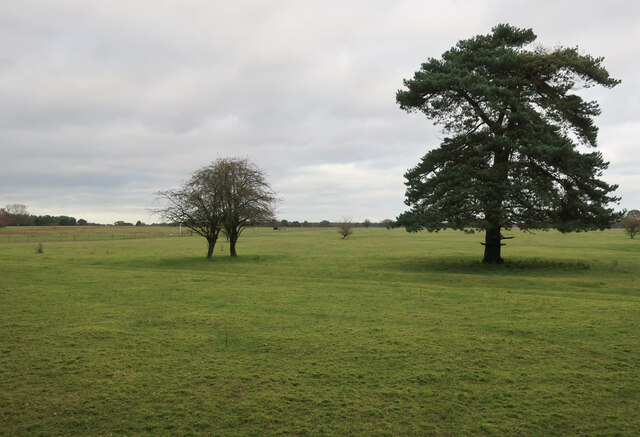
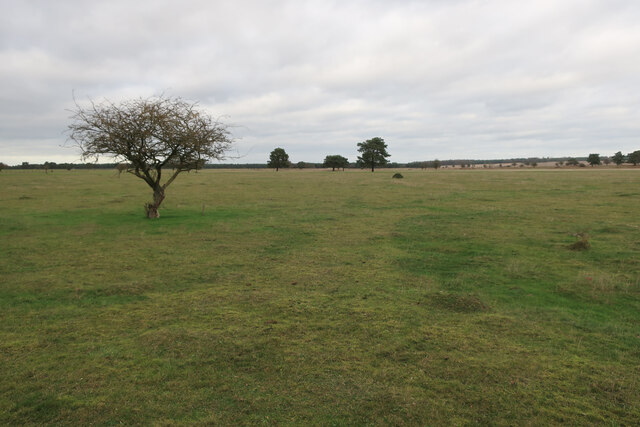
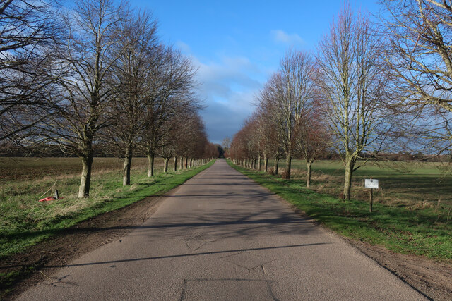
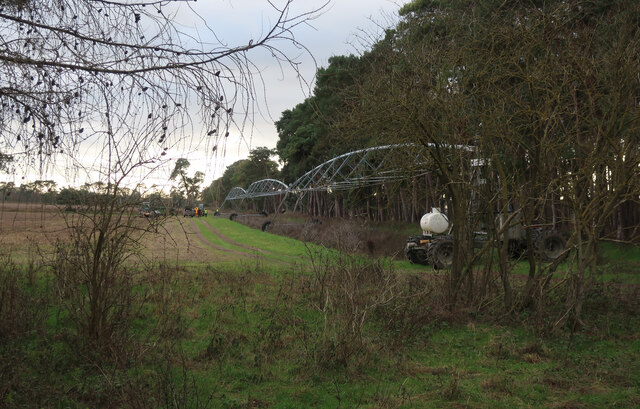
Cooksey's Plantation, also known as Suffolk Wood or Suffolk Forest, is a historic and sprawling woodland located in Suffolk, England. Covering an area of approximately 500 acres, it is renowned for its natural beauty and rich biodiversity.
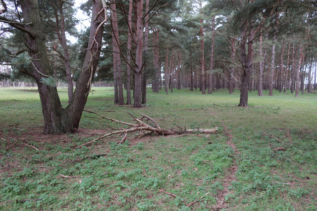
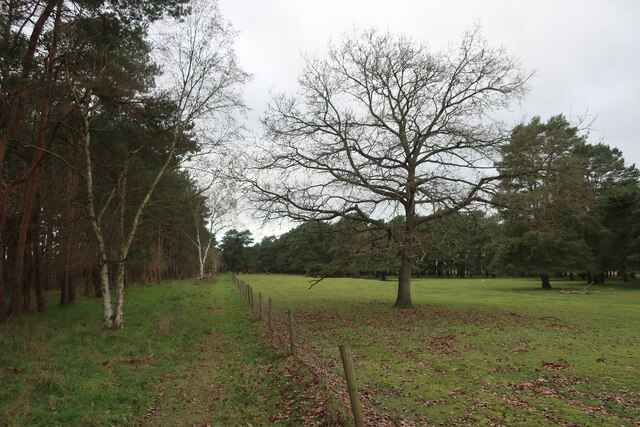
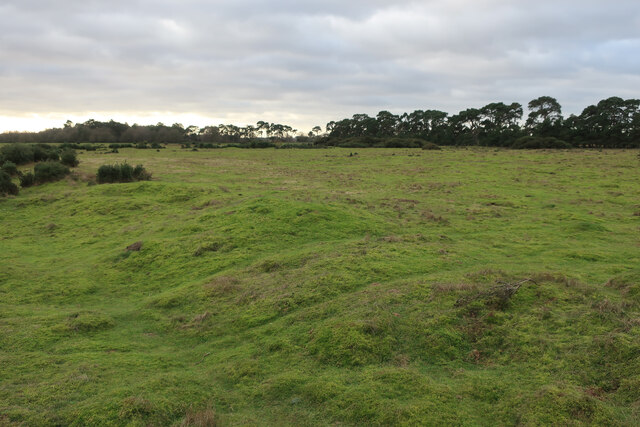
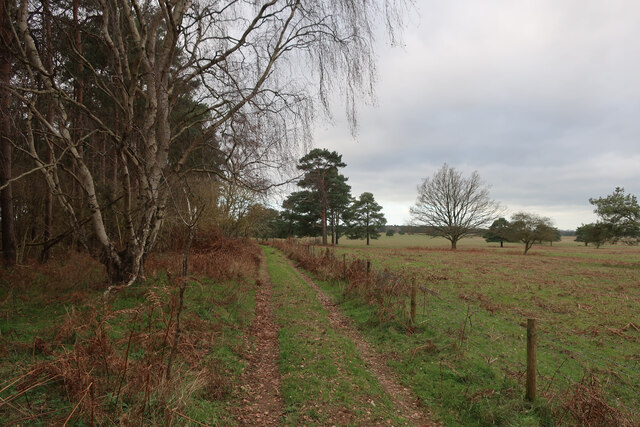
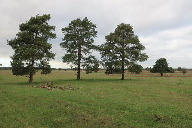
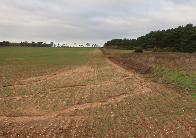
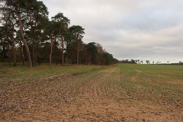
The plantation is characterized by a mix of deciduous and evergreen trees, including oak, beech, birch, and pine, which create a diverse and enchanting landscape. The forest floor is covered in a thick carpet of moss, ferns, and wildflowers, creating a haven for a variety of plant and animal species.
The plantation has a long and fascinating history, dating back to the medieval period when it was used for hunting and timber production. Over the centuries, it has been owned and managed by several prominent families, including the Cooksey family, from whom it derives its name.
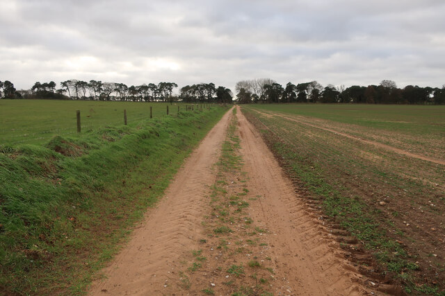
Today, Cooksey's Plantation is a popular destination for nature lovers, hikers, and birdwatchers. The woodland offers a network of well-maintained trails, allowing visitors to explore the area and discover its hidden treasures. It is home to a wide range of wildlife, including deer, foxes, badgers, and a multitude of bird species.
The plantation also provides a valuable ecosystem service by acting as a carbon sink, absorbing and storing carbon dioxide, thus contributing to mitigating climate change. Efforts are being made to ensure the sustainable management of the woodland, including selective logging and the establishment of protected areas.
Overall, Cooksey's Plantation is a cherished natural gem, offering a tranquil escape and a glimpse into the region's ecological and historical heritage.
If you have any feedback on the listing, please let us know in the comments section below.
Cooksey's Plantation Images
Images are sourced within 2km of 52.373819/0.59258579 or Grid Reference TL7678. Thanks to Geograph Open Source API. All images are credited.


Cooksey's Plantation is located at Grid Ref: TL7678 (Lat: 52.373819, Lng: 0.59258579)
Administrative County: Suffolk
District: West Suffolk
Police Authority: Suffolk
What 3 Words
///arrive.manliness.asterisk. Near Mildenhall, Suffolk
Related Wikis

Lakenheath Warren
Lakenheath Warren is a 588.3-hectare (1,454-acre) biological Site of Special Scientific Interest south-east of Lakenheath in Suffolk, England. It is a...

Weather and Horn Heaths, Eriswell
Weather and Horn Heaths, Eriswell is a 133.3-hectare (329-acre) biological Site of Special Scientific Interest east of Eriswell in Suffolk. It is a Nature...

How Hill Track
How Hill Track is a 3.1-hectare (7.7-acre) biological Site of Special Scientific Interest east of Mildenhall in Suffolk. It is in the Breckland Special...

Eriswell Low Warren
Eriswell Low Warren is a 7.4-hectare (18-acre) biological Site of Special Scientific Interest north-east of Eriswell in Suffolk. It is a Nature Conservation...

Foxhole Heath
Foxhole Heath is an 85.2-hectare (211-acre) biological Site of Special Scientific Interest east of Eriswell in Suffolk. It is a Nature Conservation Review...

Breckland Farmland
Breckland Farmland is a 13,392.4 hectare biological Site of Special Scientific Interest (SSSI) in many separate areas between Swaffham in Norfolk and Bury...

Berner's Heath
Berner's Heath is a 236.9-hectare (585-acre) biological Site of Special Scientific Interest north-east of Icklingham in Suffolk. It is a Nature Conservation...

Deadman's Grave, Icklingham
Deadman's Grave, Icklingham is a 127.3-hectare (315-acre) biological Site of Special Scientific Interest north-east of Icklingham in Suffolk. It is a Nature...
Have you been to Cooksey's Plantation?
Leave your review of Cooksey's Plantation below (or comments, questions and feedback).