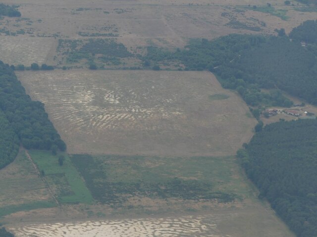
Nelson's Plantation
Wood, Forest in Norfolk Breckland
England
Nelson's Plantation

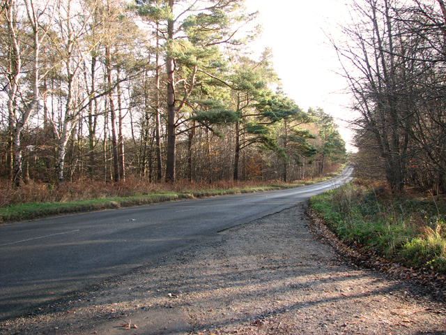
Nelson's Plantation, located in Norfolk, England, is a sprawling woodland area known for its rich history and natural beauty. Spanning over 500 acres, this plantation is a popular destination for nature enthusiasts, history buffs, and local residents alike.
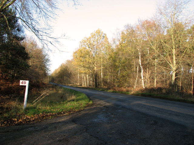
The plantation is predominantly covered in dense woodland, characterized by a variety of tree species such as oak, beech, and birch. These trees create a picturesque landscape, especially during the autumn when the leaves change color, offering a stunning display of reds, oranges, and yellows.
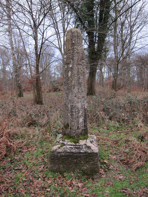
Aside from its natural beauty, Nelson's Plantation holds significant historical importance. It is believed to have been named after Admiral Lord Nelson, a prominent figure in British naval history. The plantation was once part of a larger estate owned by the Nelson family, dating back to the 18th century.
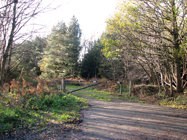
Visitors to Nelson's Plantation can explore its extensive network of walking trails, which cater to all levels of fitness and abilities. These trails wind through the woodland, providing opportunities for leisurely strolls, brisk hikes, and even cycling. Along the way, visitors may encounter various wildlife species, including deer, rabbits, and a diverse range of birdlife.
The plantation also offers amenities such as picnic areas, benches, and viewpoints, making it an ideal spot for families and individuals looking to enjoy a peaceful day out in nature. Furthermore, the plantation regularly hosts educational events and guided tours, providing visitors with insights into the area's history and ecological significance.
In conclusion, Nelson's Plantation in Norfolk is a beautiful and historically significant woodland area that offers a wealth of recreational opportunities for all who visit. Its combination of natural splendor and cultural heritage makes it a must-see destination in the region.
If you have any feedback on the listing, please let us know in the comments section below.
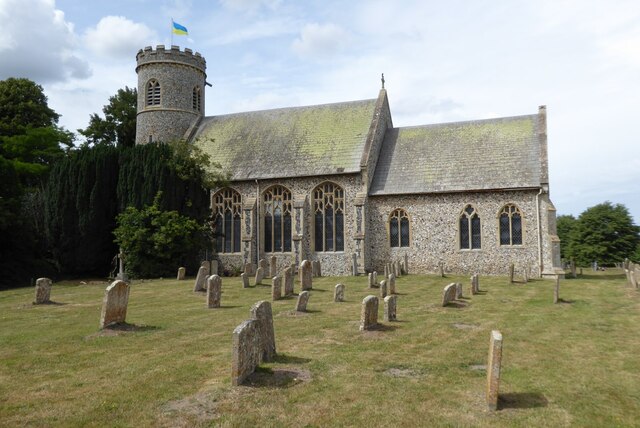
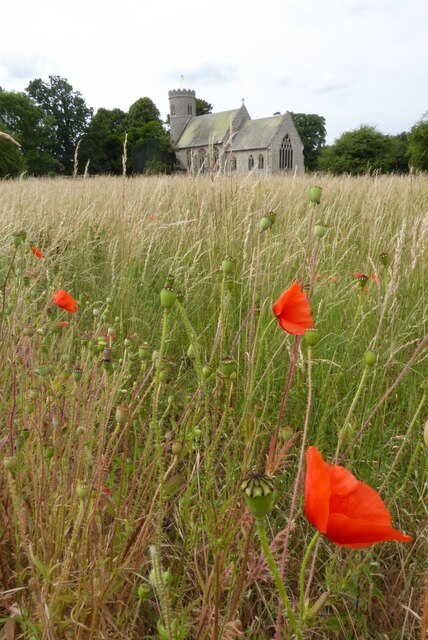
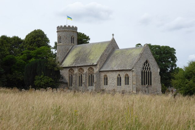
Nelson's Plantation Images
Images are sourced within 2km of 52.482141/0.60038118 or Grid Reference TL7690. Thanks to Geograph Open Source API. All images are credited.
Nelson's Plantation is located at Grid Ref: TL7690 (Lat: 52.482141, Lng: 0.60038118)
Administrative County: Norfolk
District: Breckland
Police Authority: Norfolk
What 3 Words
///empire.openings.youths. Near Weeting, Norfolk
Nearby Locations
Related Wikis

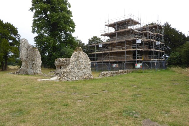
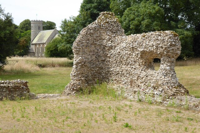
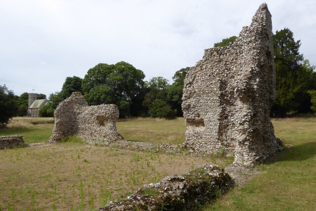
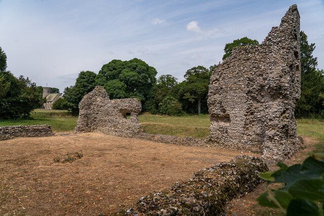
Weeting Castle
Weeting Castle is a ruined, medieval manor house near the village of Weeting in Norfolk, England. It was built around 1180 by Hugh de Plais, and comprised...

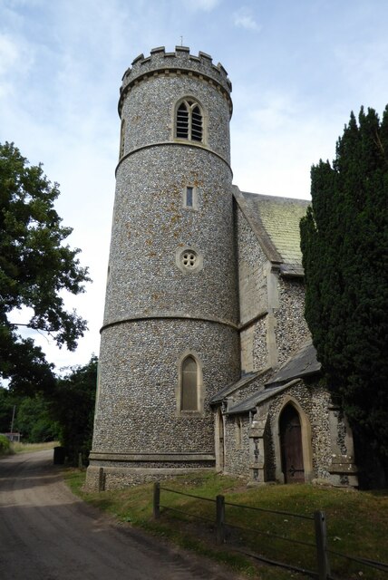
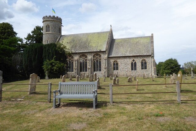
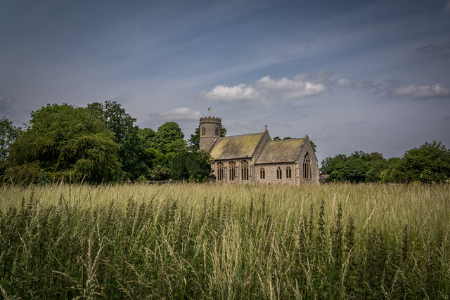
Weeting
Weeting is a village in Norfolk, England. The population can be found in the civil parish of Weeting-with-Broomhill. The village's name means 'wet place...

South West Norfolk (UK Parliament constituency)
South West Norfolk is a constituency represented in the House of Commons of the UK Parliament since 2010 by Liz Truss of the Conservative Party, who briefly...

Weeting Heath
Weeting Heath is a 141.8-hectare (350-acre) biological Site of Special Scientific Interest west of Thetford in Norfolk, which is managed by the Norfolk...

Weeting-with-Broomhill
Weeting-with-Broomhill is a civil parish in the English county of Norfolk. It covers an area of 25.16 km2 (9.71 sq mi) and had a population of 1,751 in...

Brandon railway station
Brandon railway station is on the Breckland Line in the East of England, serving the town of Brandon, Suffolk, although the station is actually situated...

Cranwich Camp
Cranwich Camp is a 13.1-hectare (32-acre) biological Site of Special Scientific Interest north-west of Thetford in Norfolk. It is part of the Breckland...

Thetford Forest
Thetford Forest is the largest lowland pine forest in Britain and is located in a region straddling the north of Suffolk and the south of Norfolk in England...
Related Videos

(4K HDR) Relaxing Autumn Nature Walking English Countryside Walk #earlymorningwalk
Hello everyone! Join us for a serene village walk in the beautiful English village of Brandon in stunning 4K HDR Video. Listen to ...

Country Walking : Brandon and Hockwold. 24/5/23
Another very good walk from Country walking magazine. This one being a 12.6 mile circular from Brandon station via the village of ...

Walking for Corona.
Call the gyms are closed and walking is all we have. So we make the best of our day and took a little old trip down The Little Ouse ...

Posting A Letter In A Mini Skirt
I had to pop to a local town on business and when I had a few moments I walked into town for the chemists and then post a letter.
Nearby Amenities
Located within 500m of 52.482141,0.60038118Have you been to Nelson's Plantation?
Leave your review of Nelson's Plantation below (or comments, questions and feedback).