Marlpit Shaw
Wood, Forest in Sussex Rother
England
Marlpit Shaw
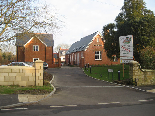
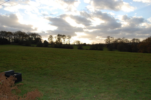
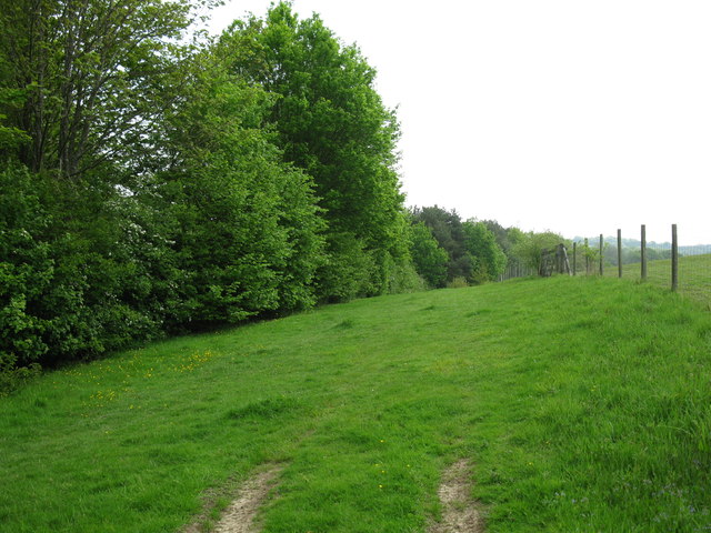
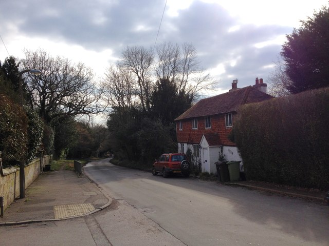
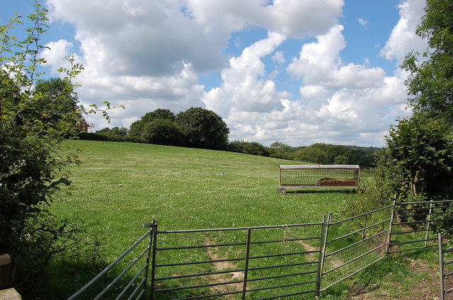
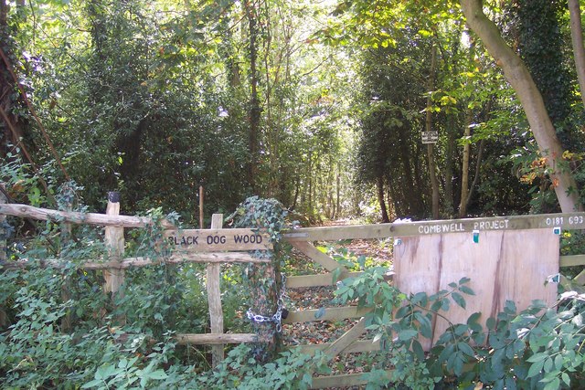
Marlpit Shaw is a picturesque woodland located in Sussex, England. Situated near the village of Forest, this tranquil area is a haven for nature lovers and outdoor enthusiasts. Covering an expansive area of land, Marlpit Shaw is known for its dense woodland and diverse array of flora and fauna.
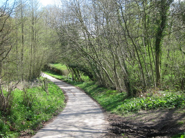
The woodland is primarily composed of deciduous trees, including oak, beech, and birch, which create a stunning canopy overhead. These trees provide a habitat for a wide variety of wildlife, including deer, foxes, rabbits, and numerous species of birds. The forest floor is carpeted with an assortment of wildflowers, adding bursts of color to the serene landscape.
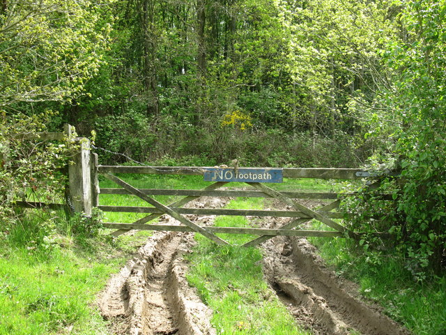
Marlpit Shaw also boasts a network of walking trails, allowing visitors to explore the area at their own pace. These trails wind through the woodland, offering glimpses of hidden ponds and babbling brooks. Along the way, informative signposts provide interesting facts about the local flora and fauna, enhancing the educational experience.
The woodland is a popular destination for birdwatching, with many rare and migratory species making their home here. Bird hides are strategically placed throughout the area, providing ideal vantage points for observing these winged wonders.
Marlpit Shaw is a place of natural beauty and tranquility, offering a peaceful retreat from the hustle and bustle of everyday life. Whether it's a leisurely stroll through the woodland or a birdwatching adventure, this enchanting forest provides a delightful experience for all who visit.
If you have any feedback on the listing, please let us know in the comments section below.
Marlpit Shaw Images
Images are sourced within 2km of 51.058453/0.39815267 or Grid Reference TQ6831. Thanks to Geograph Open Source API. All images are credited.


Marlpit Shaw is located at Grid Ref: TQ6831 (Lat: 51.058453, Lng: 0.39815267)
Administrative County: East Sussex
District: Rother
Police Authority: Sussex
What 3 Words
///binders.elbowed.pacifist. Near Ticehurst, East Sussex
Nearby Locations
Related Wikis

Ticehurst House Hospital
Ticehurst House Hospital was a mental health facility. It opened in 1792 and was owned and run by five generations of members of the Newington family until...
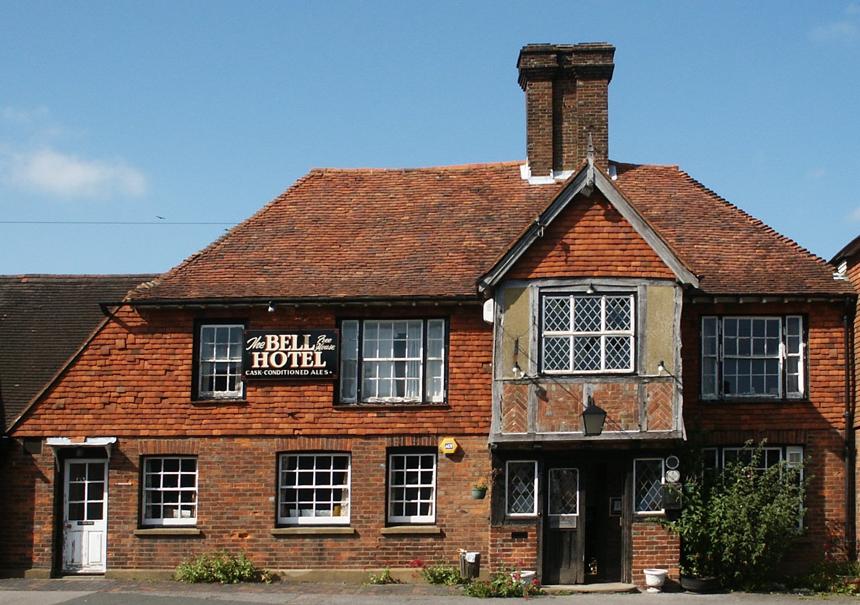
Ticehurst
Ticehurst is both a village and a large civil parish in the Rother district of East Sussex, England. The parish lies in the upper reaches of both the Bewl...

Bewl Water
Bewl Water is a reservoir in the valley of the River Bewl, straddling the boundary between Kent and East Sussex in England. It is about 2 miles (3.2 km...
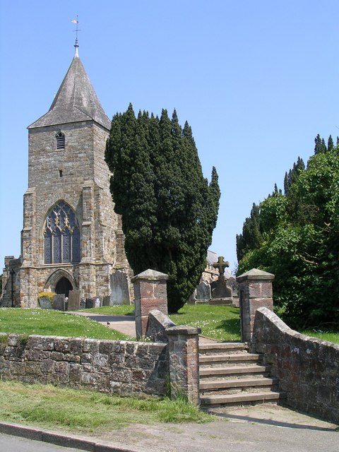
St Mary's Church, Ticehurst
St Mary's Church is a 14th-century parish church dedicated to St Mary the Virgin in Ticehurst, East Sussex, England. Part of the Diocese of Chichester...

Bewl Bridge Rowing Club
Bewl Bridge Rowing Club is a rowing club on the Bewl Water, based at Bewlbridge Lane, Lamberhurst, Wadhurst, Tunbridge Wells. Rowers aged 12 and upwards...

Combwell Priory
Combwell Priory was a priory near Bedgebury Cross about 10 miles southeast of Tunbridge Wells in Kent, England. == History == This is a Grade II listed...
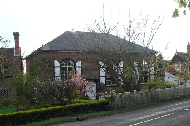
Shover's Green Baptist Chapel
Shover's Green Baptist Chapel is a former Strict Baptist place of worship in the hamlet of Shover's Green in East Sussex, England. Shover's Green is in...
Combwell Wood
Combwell Wood is a 110.6-hectare (273-acre) biological Site of Special Scientific Interest south-east of Tunbridge Wells in Kent. The wood is part of the...
Nearby Amenities
Located within 500m of 51.058453,0.39815267Have you been to Marlpit Shaw?
Leave your review of Marlpit Shaw below (or comments, questions and feedback).