College Grove
Wood, Forest in Suffolk West Suffolk
England
College Grove
College Grove, Suffolk, also known as Wood or Forest, is a picturesque village located in the county of Suffolk, England. Situated amidst lush greenery and rolling hills, it offers a serene and tranquil environment for its residents.
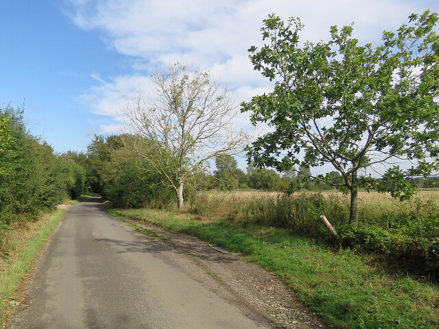
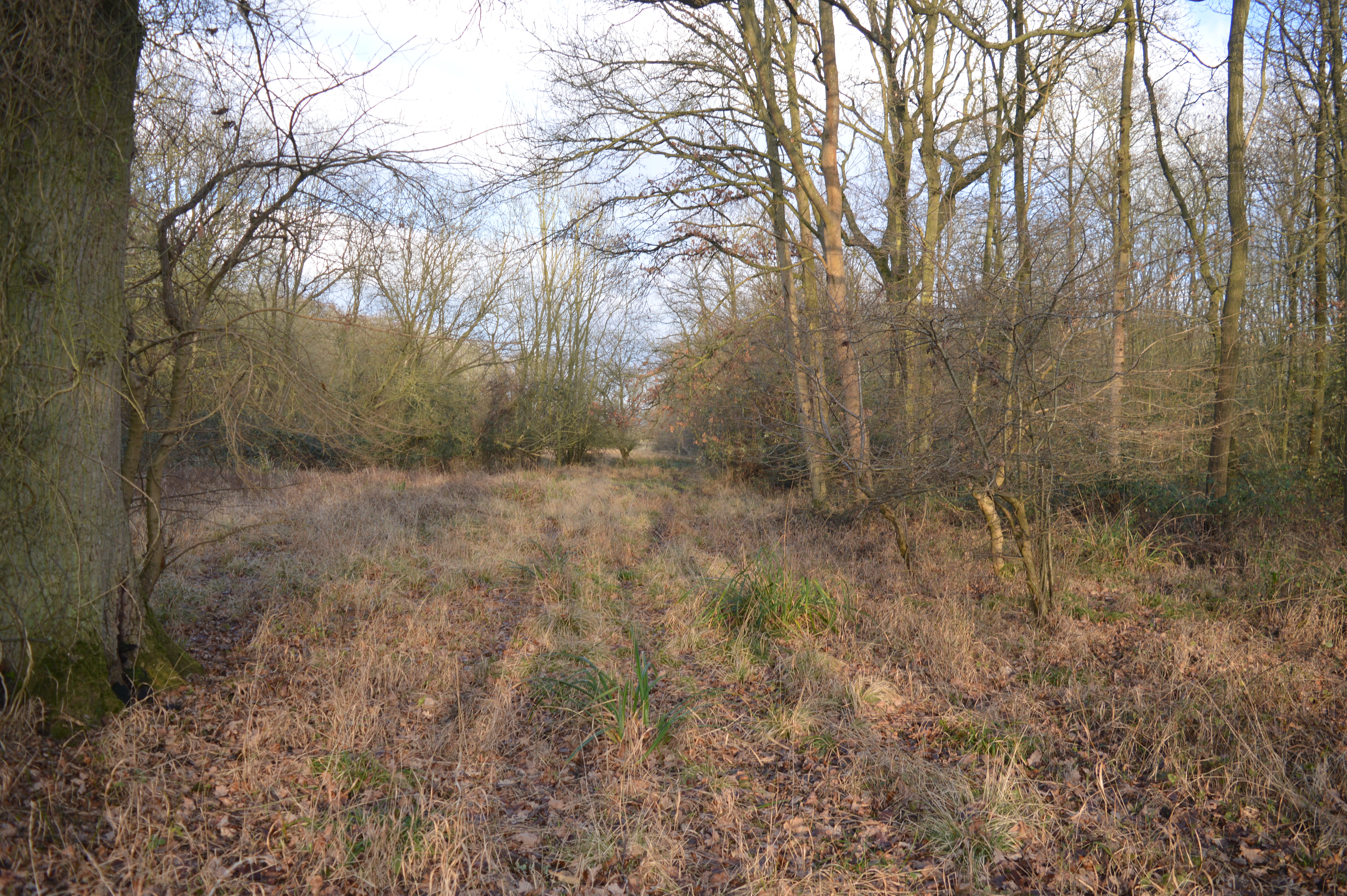
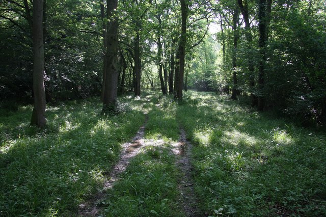
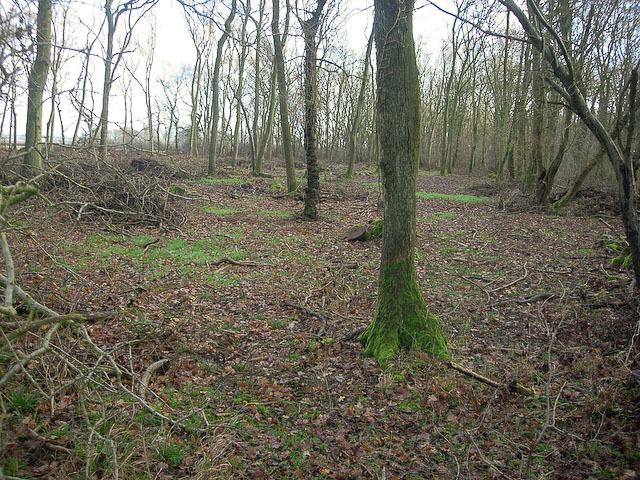
The village is known for its beautiful woodlands and abundant wildlife, making it a popular destination for nature enthusiasts and hikers. The woodlands, with their towering oak and beech trees, provide a perfect setting for leisurely walks and picnics. The area is also home to a variety of wildlife, including deer, foxes, and a wide range of bird species, making it a haven for birdwatchers.
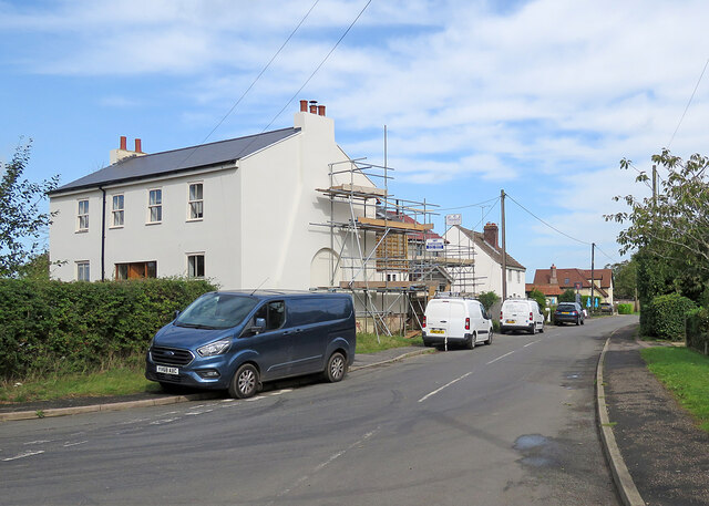
College Grove is a close-knit community with a population of around 500 residents. The village features a charming mix of historic cottages and modern houses, providing a unique blend of traditional and contemporary architecture. The local community is known for its friendly and welcoming nature, creating a warm and inviting atmosphere for both residents and visitors.
The village boasts a range of amenities to cater to its residents' needs. These include a small convenience store, a village hall, and a primary school. For further amenities, residents can easily access nearby towns and cities, such as Ipswich and Bury St Edmunds, which offer a wide range of shops, restaurants, and leisure facilities.
Overall, College Grove, Suffolk, is a hidden gem nestled in the heart of Suffolk's countryside. With its stunning woodlands, thriving wildlife, and close-knit community, it offers a peaceful and idyllic lifestyle for those seeking a retreat from the hustle and bustle of city life.
If you have any feedback on the listing, please let us know in the comments section below.
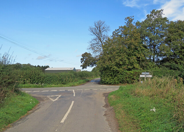
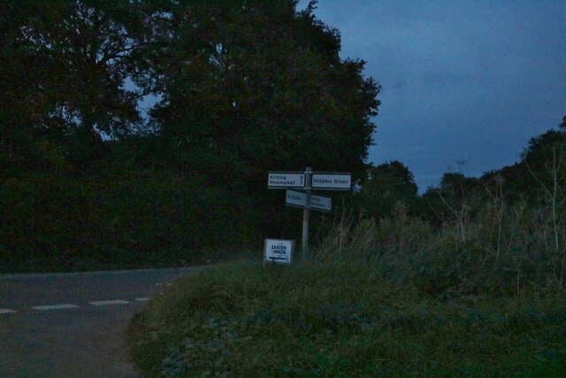
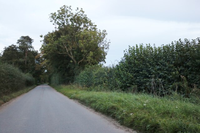
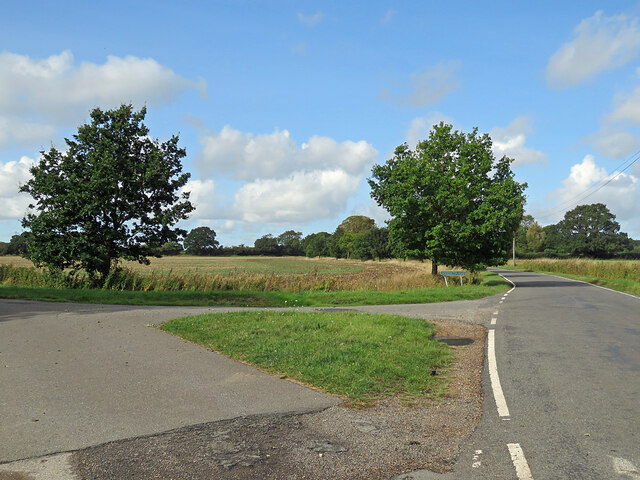
College Grove Images
Images are sourced within 2km of 52.164138/0.45700102 or Grid Reference TL6854. Thanks to Geograph Open Source API. All images are credited.


College Grove is located at Grid Ref: TL6854 (Lat: 52.164138, Lng: 0.45700102)
Administrative County: Suffolk
District: West Suffolk
Police Authority: Suffolk
What 3 Words
///beans.regret.trickling. Near Kedington, Suffolk
Nearby Locations
Related Wikis

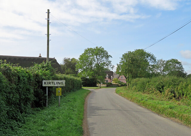
Kirtling
Kirtling, together with Kirtling Green and Kirtling Towers, is a scattered settlement in the south-eastern edge of the English county of Cambridgeshire...

Castle Newnham School
Castle Newnham School is a coeducational all-through school located over two sites in Bedford, Bedfordshire, England.The school was formed in January 2016...
Ten Wood
Ten Wood is a 17.7-hectare (44-acre) biological Site of Special Scientific Interest east of Burrough Green in Cambridgeshire.This ancient wood is of the...

Great Bradley
Great Bradley is a village and civil parish in the West Suffolk district of Suffolk in eastern England. According to Eilert Ekwall the meaning of the village...
Out and Plunder Woods
Out and Plunder Woods is a 38.6-hectare (95-acre) biological Site of Special Scientific Interest between Great Bradley and Burrough Green in Cambridgeshire...
Little Bradley
Little Bradley is a small village and civil parish in the West Suffolk district, in the county of Suffolk, England. According to Eilert Ekwall, the meaning...

Kirtling Tower
Kirtling Tower was a medieval castle and Tudor country house in Kirtling, Cambridgeshire, England, of which the gatehouse still remains. == History... ==
Carlton Wood
Carlton Wood is a 10.4-hectare (26-acre) biological Site of Special Scientific Interest on the eastern boundary of Cambridgeshire, and west of Great Bradley...
Have you been to College Grove?
Leave your review of College Grove below (or comments, questions and feedback).