Bradley Park Wood

Wood, Forest in Suffolk West Suffolk

England

Bradley Park Wood

On the road from Longacre Green Farm This gravelly lane serves an isolated farm (some way behind the camera) and joins the Stour Valley Path, which leads on to Great Bradley.
On the road from Longacre Green Farm Credit: John Sutton

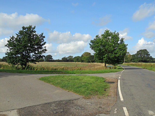
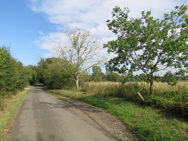
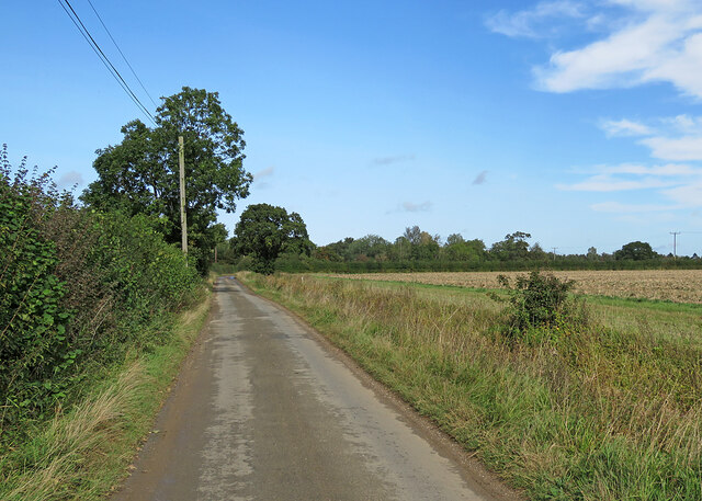
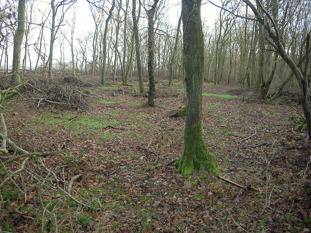
Bradley Park Wood is a picturesque woodland located in Suffolk, England. Covering an area of approximately 50 hectares, this beautiful forest is situated on the outskirts of the village of Bradley. The woodland is part of the larger Bradley Park estate, which encompasses a mix of agricultural land, meadows, and other natural habitats.

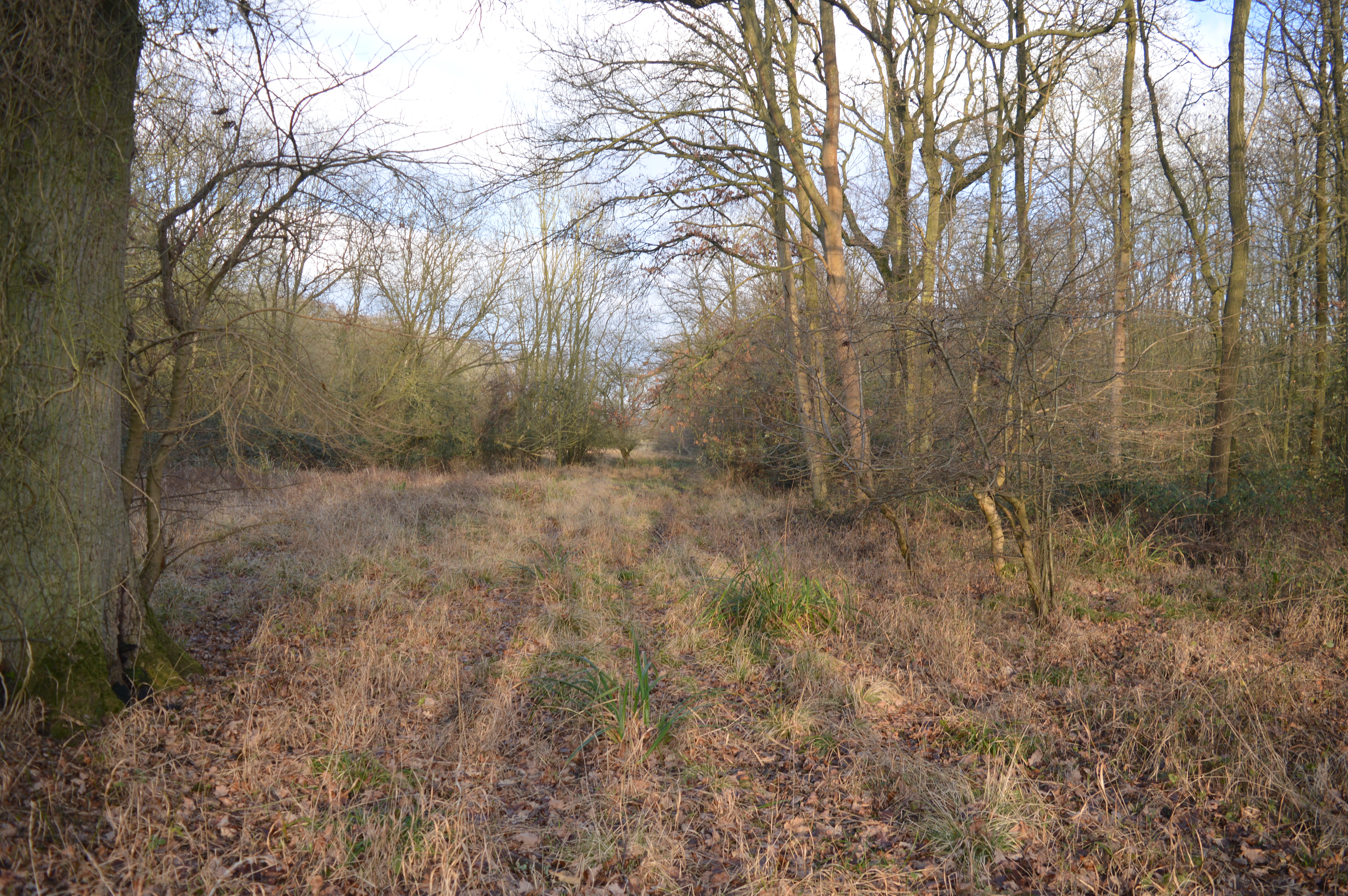
The wood itself is predominantly made up of broadleaf trees, including oak, beech, and ash, which create a diverse and vibrant canopy. The forest floor is covered with a rich carpet of mosses, ferns, and wildflowers, adding to the overall allure of the woodland.

Bradley Park Wood is home to a variety of wildlife, making it a popular spot for nature enthusiasts and wildlife photographers. Visitors have the opportunity to spot a range of species, including deer, squirrels, badgers, and numerous bird species, such as woodpeckers and owls.

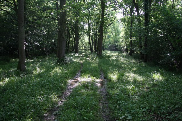
There are several well-maintained trails that wind through the wood, allowing visitors to explore and experience the tranquility of this natural haven. The paths are easily accessible and suitable for both walkers and cyclists.

The wood offers a peaceful retreat from the hustle and bustle of everyday life, providing an ideal setting for relaxation and contemplation. It is also a fantastic place for outdoor activities, such as picnics, nature walks, and photography.

Bradley Park Wood, with its enchanting scenery and abundant wildlife, offers a truly immersive experience for anyone seeking a connection with nature in the heart of Suffolk.

If you have any feedback on the listing, please let us know in the comments section below.

Bradley Park Wood Images

Images are sourced within 2km of 52.16234/0.45479637 or Grid Reference TL6854. Thanks to Geograph Open Source API. All images are credited.

On the road from Longacre Green Farm This gravelly lane serves an isolated farm (some way behind the camera) and joins the Stour Valley Path, which leads on to Great Bradley.
On the road from Longacre Green Farm
This gravelly lane serves an isolated farm (some way behind the camera) and joins the Stour Valley Path, which leads on to Great Bradley.
A lane, a ditch and a dead tree This gravelly lane serves Longacre Green Farm (some way behind the camera) and joins the Stour Valley Path, which leads on to Great Bradley.
A lane, a ditch and a dead tree
This gravelly lane serves Longacre Green Farm (some way behind the camera) and joins the Stour Valley Path, which leads on to Great Bradley.
Woodditton Road and a dead-end lane The lane to the left leads to Longacre Green Farm, the road ahead to Woodditton and Newmarket. Towards the end of September it was still late summer on this fine morning in East Cambridgeshire.
Woodditton Road and a dead-end lane
The lane to the left leads to Longacre Green Farm, the road ahead to Woodditton and Newmarket. Towards the end of September it was still late summer on this fine morning in East Cambridgeshire.
Kirtling Green: new and old on The Green The road to Woodditton on a fine September morning. The thatched house, originally two cottages, is Grade II listed.
Kirtling Green: new and old on The Green
The road to Woodditton on a fine September morning. The thatched house, originally two cottages, is Grade II listed.
Kirtling Green: scaffolding on The Street The road leads to Kirtling and Upend.
Kirtling Green: scaffolding on The Street
The road leads to Kirtling and Upend.
Kirtling Green: Bachelor's Hall Farm The farmhouse's Grade II listing begins "C16 and late C17. Timber-framed and plastered with pargetted panels. Plain tile roofs, red-brick central ridge stack and rear stack."
Kirtling Green: Bachelor's Hall Farm
The farmhouse's Grade II listing begins "C16 and late C17. Timber-framed and plastered with pargetted panels. Plain tile roofs, red-brick central ridge stack and rear stack."
Entering Kirtling Kirtling is a scattered village in the eastern corner of Cambridgeshire south of Newmarket. The converted barn on the left and the farmhouse are  Grade II listed and date from the 16th century.
Entering Kirtling
Kirtling is a scattered village in the eastern corner of Cambridgeshire south of Newmarket. The converted barn on the left and the farmhouse are Grade II listed and date from the 16th century.
Postbox and signpost The junction with Bradley Road (behind the camera), near Mill End.
Postbox and signpost
The junction with Bradley Road (behind the camera), near Mill End.
A passing place on a narrow lane Bradley Road links Great Bradley and Cowlinge to Kirtling Green (ahead).
A passing place on a narrow lane
Bradley Road links Great Bradley and Cowlinge to Kirtling Green (ahead).
Cottages at Thrift Farm The farm (behind the trees to the left) is in Suffolk, but the cottages are - just - in Cambridgeshire. The road is the county boundary for about 75 metres here.
Cottages at Thrift Farm
The farm (behind the trees to the left) is in Suffolk, but the cottages are - just - in Cambridgeshire. The road is the county boundary for about 75 metres here.
Puddles on Bradley Road This narrow lane links Great Bradley and Cowlinge to Kirtling Green (ahead), just over the county boundary in Cambridgeshire. There had been a lot of rain in the two days before this end-of-summer picture was taken.
Puddles on Bradley Road
This narrow lane links Great Bradley and Cowlinge to Kirtling Green (ahead), just over the county boundary in Cambridgeshire. There had been a lot of rain in the two days before this end-of-summer picture was taken.
On the way to Kirtling This narrow lane links Great Bradley and Cowlinge to Kirtling Green (ahead), just over the county boundary in Cambridgeshire.
On the way to Kirtling
This narrow lane links Great Bradley and Cowlinge to Kirtling Green (ahead), just over the county boundary in Cambridgeshire.
Great Bradley to Cowlinge in September A fine late-summer morning with hints of the autumn to come.
Great Bradley to Cowlinge in September
A fine late-summer morning with hints of the autumn to come.
The road to Cowlinge East of East Green on the way from Great Bradley.
The road to Cowlinge
East of East Green on the way from Great Bradley.
East Green: Three Tuns As its name suggests, this house on the road from Cowlinge to Great Bradley (right) was once a public house. <a href="https://www.geograph.org.uk/photo/47860">TL6853 : Former 'Three Tuns' pub, East Green, Great Bradley, Suffolk</a> (2004) shows the previous roof.
East Green: Three Tuns
As its name suggests, this house on the road from Cowlinge to Great Bradley (right) was once a public house. TL6853 : Former 'Three Tuns' pub, East Green, Great Bradley, Suffolk (2004) shows the previous roof.
East Green: the end of the road The tarmac road at East Green ends here. The concrete farm track serves Morgan-Evans Equestrian and continues as a bridle path past Bradley Park Wood which is part of a network of tracks and paths between Great Bradley and Kirtling.
East Green: the end of the road
The tarmac road at East Green ends here. The concrete farm track serves Morgan-Evans Equestrian and continues as a bridle path past Bradley Park Wood which is part of a network of tracks and paths between Great Bradley and Kirtling.
At East Green A hamlet east of Great Bradley, reached along a dead-end lane.
At East Green
A hamlet east of Great Bradley, reached along a dead-end lane.
Farm track and footpath near Great Bradley The notice at the start of this track in the shallow valley of the infant River Stour forbids vehicles, cycles and horses. The smaller notice asks that dogs be kept under close control as this is a conservation area.
Farm track and footpath near Great Bradley
The notice at the start of this track in the shallow valley of the infant River Stour forbids vehicles, cycles and horses. The smaller notice asks that dogs be kept under close control as this is a conservation area.
Show me another place!

Bradley Park Wood is located at Grid Ref: TL6854 (Lat: 52.16234, Lng: 0.45479637)

Administrative County: Suffolk

District: West Suffolk

Police Authority: Suffolk

What 3 Words

///tech.refusals.snooty. Near Kedington, Suffolk

Related Wikis

Castle Newnham School

Castle Newnham School is a coeducational all-through school located over two sites in Bedford, Bedfordshire, England.The school was formed in January 2016...

Great Bradley

Great Bradley is a village and civil parish in the West Suffolk district of Suffolk in eastern England. According to Eilert Ekwall the meaning of the village...

Ten Wood

Ten Wood is a 17.7-hectare (44-acre) biological Site of Special Scientific Interest east of Burrough Green in Cambridgeshire.This ancient wood is of the...

Out and Plunder Woods

Out and Plunder Woods is a 38.6-hectare (95-acre) biological Site of Special Scientific Interest between Great Bradley and Burrough Green in Cambridgeshire...
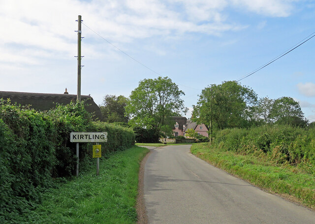
Kirtling

Kirtling, together with Kirtling Green and Kirtling Towers, is a scattered settlement in the south-eastern edge of the English county of Cambridgeshire...

Little Bradley

Little Bradley is a small village and civil parish in the West Suffolk district, in the county of Suffolk, England. According to Eilert Ekwall, the meaning...

Carlton Wood

Carlton Wood is a 10.4-hectare (26-acre) biological Site of Special Scientific Interest on the eastern boundary of Cambridgeshire, and west of Great Bradley...

Kirtling Tower

Kirtling Tower was a medieval castle and Tudor country house in Kirtling, Cambridgeshire, England, of which the gatehouse still remains. == History... ==

Have you been to Bradley Park Wood?

Leave your review of Bradley Park Wood below (or comments, questions and feedback).