Three Leg Cross
Settlement in Sussex Rother
England
Three Leg Cross
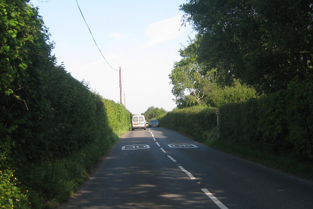
Three Leg Cross is a small village located in the county of Sussex, England. Situated in the rural countryside, it is nestled between the towns of Chichester and Arundel. The village derives its name from the meeting point of three roads that intersect in the shape of a cross, hence the name "Three Leg Cross."
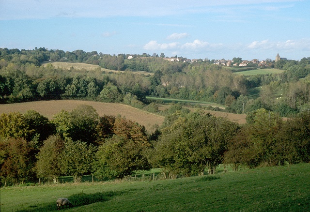
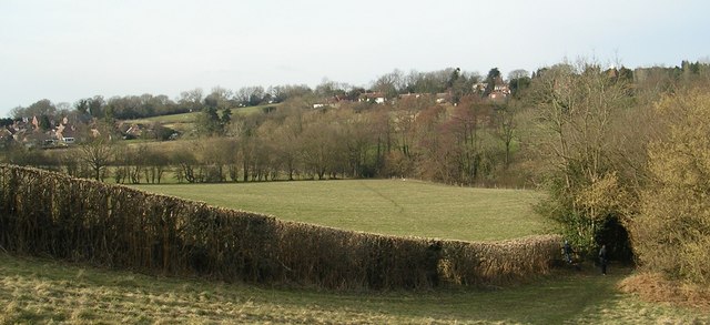
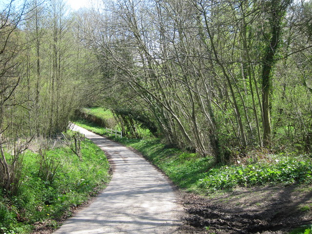
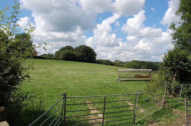
The village is known for its picturesque landscapes, with rolling hills and fields surrounding the area. It is a popular destination for nature lovers and hikers, as there are several walking trails that meander through the countryside, showcasing the beauty of the South Downs National Park.
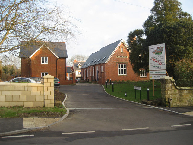
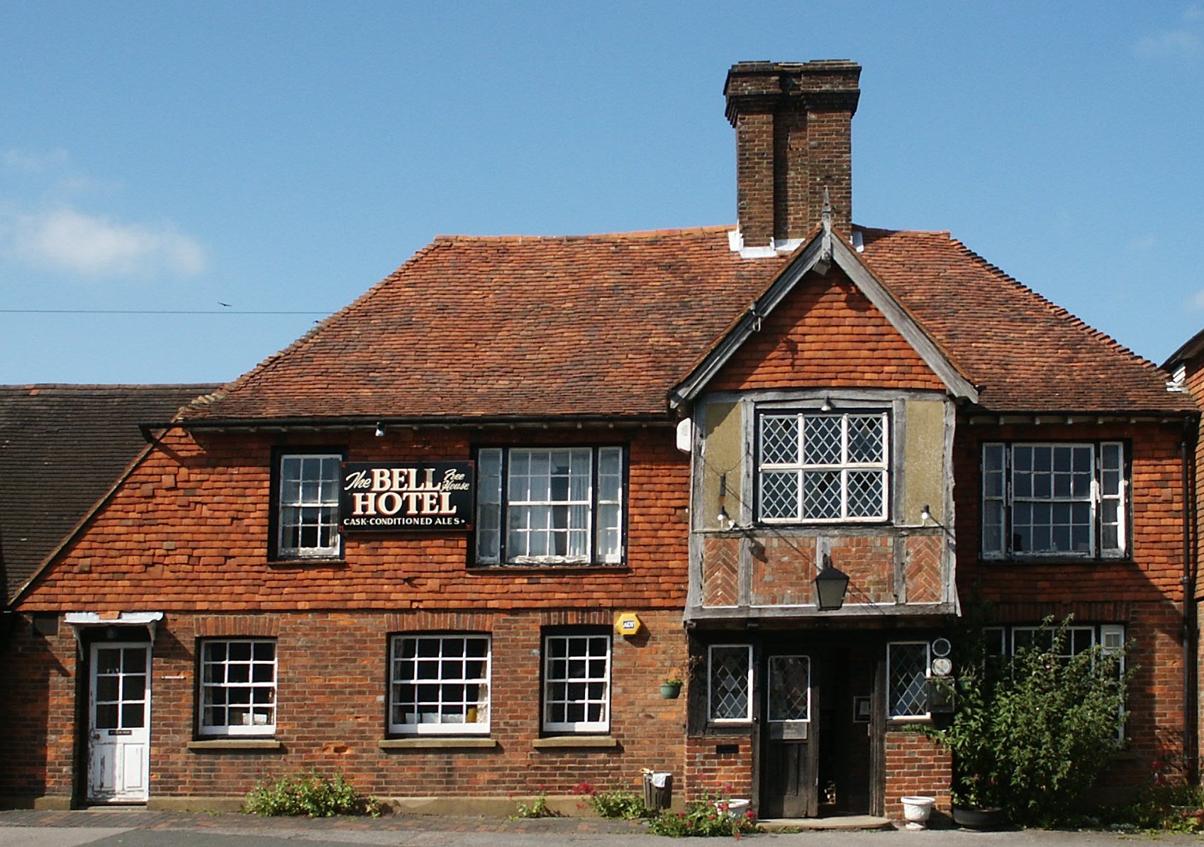
Although small in size, Three Leg Cross has a tight-knit community that takes pride in preserving its rural charm. The village consists primarily of traditional cottages and farmhouses, adding to its idyllic atmosphere. The local pub, The Three Legs Inn, serves as a gathering spot for residents and visitors alike, offering a warm and friendly ambiance.
Despite its tranquil setting, Three Leg Cross benefits from its proximity to nearby towns. Chichester, a historic city, is just a short drive away and offers a range of amenities, including shops, restaurants, and cultural attractions such as the Chichester Cathedral and Festival Theatre.
In conclusion, Three Leg Cross is a charming village in Sussex that offers a peaceful retreat from the bustling city life. Its natural beauty, friendly community, and convenient location make it a desirable destination for those seeking a picturesque countryside experience.
If you have any feedback on the listing, please let us know in the comments section below.
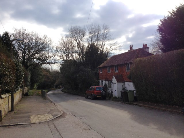
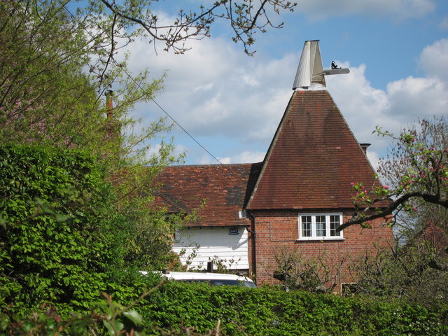
Three Leg Cross Images
Images are sourced within 2km of 51.054486/0.406012 or Grid Reference TQ6831. Thanks to Geograph Open Source API. All images are credited.


Three Leg Cross is located at Grid Ref: TQ6831 (Lat: 51.054486, Lng: 0.406012)
Administrative County: East Sussex
District: Rother
Police Authority: Sussex
What 3 Words
///skippers.amuses.tuxedos. Near Ticehurst, East Sussex
Nearby Locations
Related Wikis
Ticehurst
Ticehurst is both a village and a large civil parish in the Rother district of East Sussex, England. The parish lies in the upper reaches of both the Bewl...

Ticehurst House Hospital
Ticehurst House Hospital was a mental health facility. It opened in 1792 and was owned and run by five generations of members of the Newington family until...
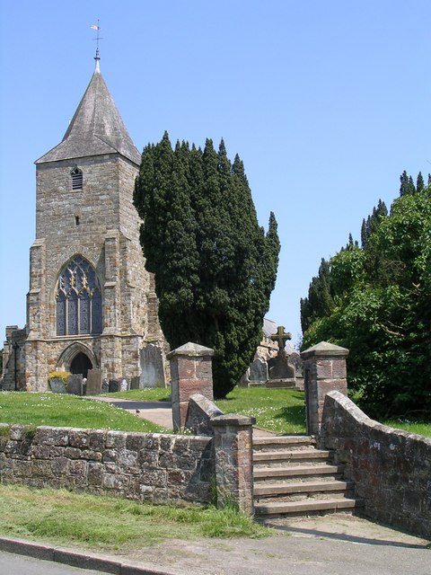
St Mary's Church, Ticehurst
St Mary's Church is a 14th-century parish church dedicated to St Mary the Virgin in Ticehurst, East Sussex, England. Part of the Diocese of Chichester...

Bewl Water
Bewl Water is a reservoir in the valley of the River Bewl, straddling the boundary between Kent and East Sussex in England. It is about 2 miles (3.2 km...
Nearby Amenities
Located within 500m of 51.054486,0.406012Have you been to Three Leg Cross?
Leave your review of Three Leg Cross below (or comments, questions and feedback).