Broomden Wood
Wood, Forest in Sussex Rother
England
Broomden Wood
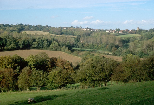
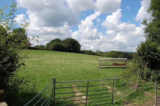
Broomden Wood is a picturesque forest located in the county of Sussex in southern England. Covering an area of approximately 500 acres, it is a popular destination for nature enthusiasts and outdoor adventurers alike.
The wood is characterized by its dense canopy of tall, mature trees, predominantly consisting of oak, beech, and birch. This creates a serene and enchanting atmosphere, with dappled sunlight filtering through the branches, casting beautiful patterns on the forest floor. The woodland is home to a diverse range of flora and fauna, including bluebells, wild garlic, and various species of birds, mammals, and insects.
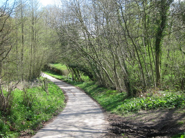
Traversing through Broomden Wood, visitors can find numerous well-marked trails, making it an ideal destination for hiking and walking. These trails wind their way through the forest, offering breathtaking views of the surrounding countryside and providing opportunities for wildlife spotting.
The wood is also famous for its ancient and historical significance. It is believed to have been in existence for centuries and has served various purposes throughout its history, including timber production and hunting grounds for the local nobility.
Broomden Wood is easily accessible, with a car park located nearby, as well as public transportation options available. It offers a tranquil escape from the bustling city life, allowing visitors to immerse themselves in the beauty of nature and experience the peace and tranquility of the Sussex countryside.
If you have any feedback on the listing, please let us know in the comments section below.
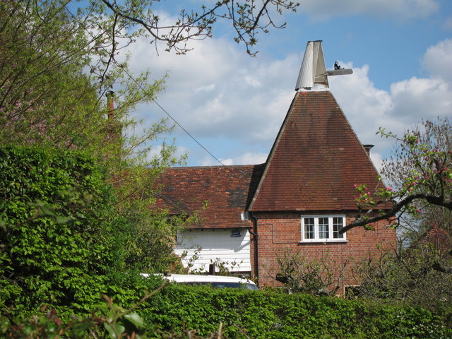
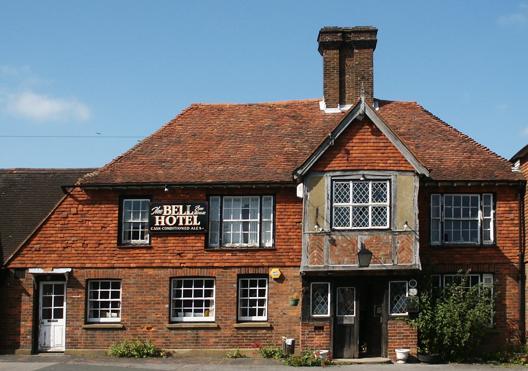
Broomden Wood Images
Images are sourced within 2km of 51.054989/0.39691765 or Grid Reference TQ6831. Thanks to Geograph Open Source API. All images are credited.


Broomden Wood is located at Grid Ref: TQ6831 (Lat: 51.054989, Lng: 0.39691765)
Administrative County: East Sussex
District: Rother
Police Authority: Sussex
What 3 Words
///outbound.turkey.cars. Near Ticehurst, East Sussex
Nearby Locations
Related Wikis

Ticehurst House Hospital
Ticehurst House Hospital was a mental health facility. It opened in 1792 and was owned and run by five generations of members of the Newington family until...
Ticehurst
Ticehurst is both a village and a large civil parish in the Rother district of East Sussex, England. The parish lies in the upper reaches of both the Bewl...
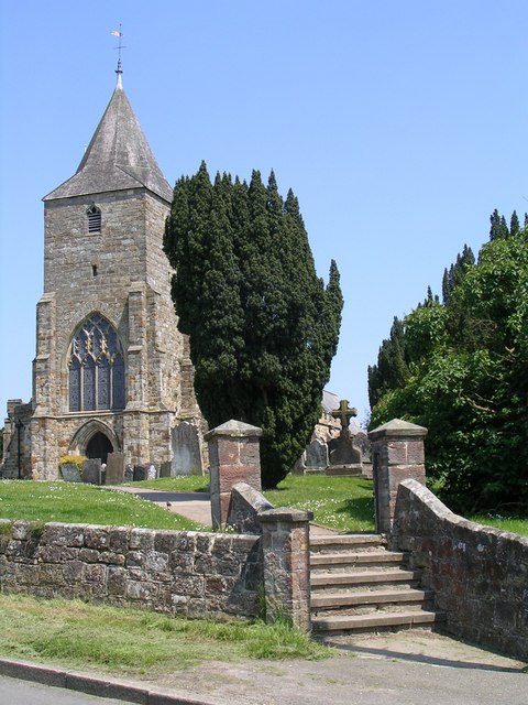
St Mary's Church, Ticehurst
St Mary's Church is a 14th-century parish church dedicated to St Mary the Virgin in Ticehurst, East Sussex, England. Part of the Diocese of Chichester...

Bewl Water
Bewl Water is a reservoir in the valley of the River Bewl, straddling the boundary between Kent and East Sussex in England. It is about 2 miles (3.2 km...

Bewl Bridge Rowing Club
Bewl Bridge Rowing Club is a rowing club on the Bewl Water, based at Bewlbridge Lane, Lamberhurst, Wadhurst, Tunbridge Wells. Rowers aged 12 and upwards...
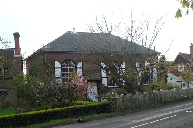
Shover's Green Baptist Chapel
Shover's Green Baptist Chapel is a former Strict Baptist place of worship in the hamlet of Shover's Green in East Sussex, England. Shover's Green is in...

Combwell Priory
Combwell Priory was a priory near Bedgebury Cross about 10 miles southeast of Tunbridge Wells in Kent, England. == History == This is a Grade II listed...
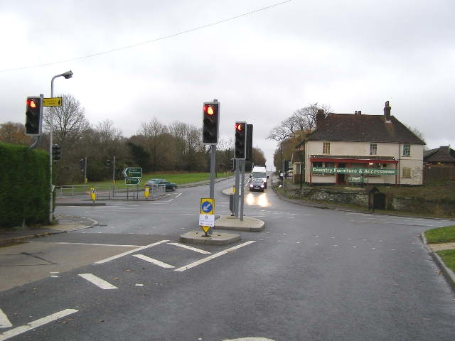
Flimwell
Flimwell is a village in the civil parish of Ticehurst, in the Rother district of East Sussex, England. It is located close to the border with Kent at...
Nearby Amenities
Located within 500m of 51.054989,0.39691765Have you been to Broomden Wood?
Leave your review of Broomden Wood below (or comments, questions and feedback).